Black Waste Wood

Wood, Forest in Warwickshire Warwick

England

Black Waste Wood

Nailcote Lane towards Balsall Common
Nailcote Lane towards Balsall Common Credit: Ian S

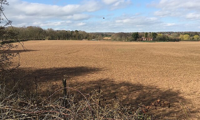
Black Waste Wood is a dense forest located in Warwickshire, England. Covering an area of approximately 100 hectares, it is known for its rich biodiversity and ancient woodland. The wood is situated within the larger Blackdown and Aldersley Woods complex, which together create a significant nature reserve.

The forest is primarily composed of broadleaf trees such as oak, beech, and birch, creating a diverse and vibrant ecosystem. The woodland floor is covered in a thick layer of leaf litter, providing an ideal habitat for a variety of plants and animals. Bluebells, wood anemones, and wild garlic are just a few of the wildflowers that bloom in abundance during the spring.

Black Waste Wood is home to a wide range of wildlife species. Bird enthusiasts can spot various species including woodpeckers, owls, and warblers. The wood also provides a habitat for mammals such as badgers, foxes, and deer, which can often be seen grazing or foraging throughout the area. Additionally, the forest supports a diverse insect population, including butterflies and dragonflies.

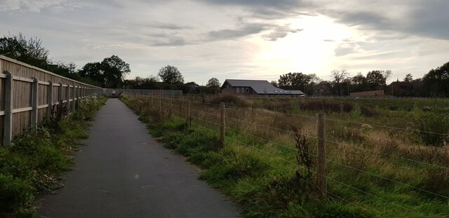
Visitors can explore the wood along a network of well-maintained trails, allowing them to appreciate its natural beauty and tranquility. The forest offers a peaceful retreat for walkers, joggers, and nature lovers, providing an opportunity to escape the hustle and bustle of everyday life.

Black Waste Wood is not only a haven for wildlife but also plays a vital role in maintaining the overall health of the ecosystem. Its preservation and careful management ensure the long-term survival of this important natural resource.

If you have any feedback on the listing, please let us know in the comments section below.

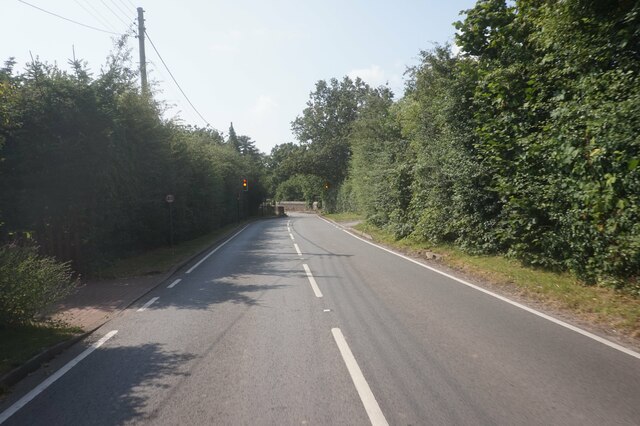
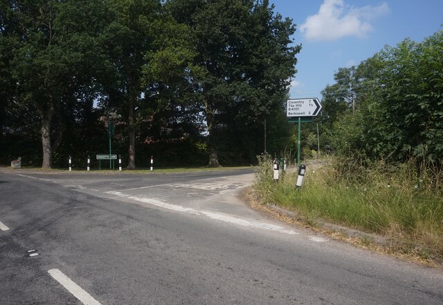
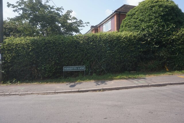
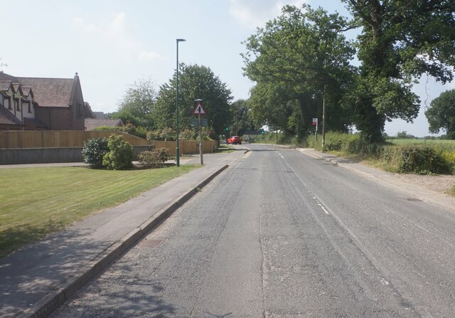
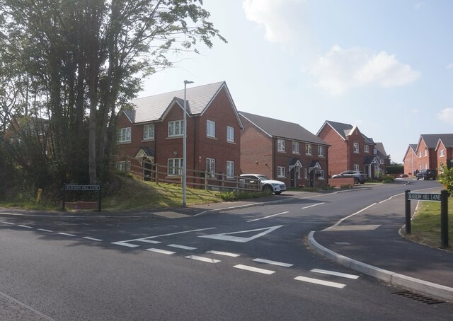
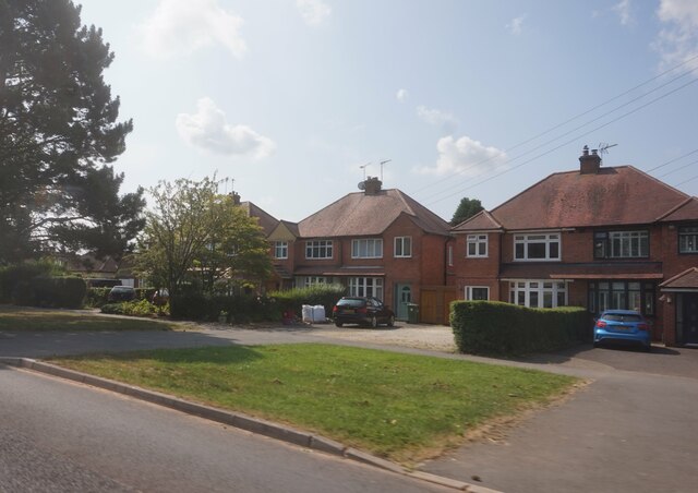
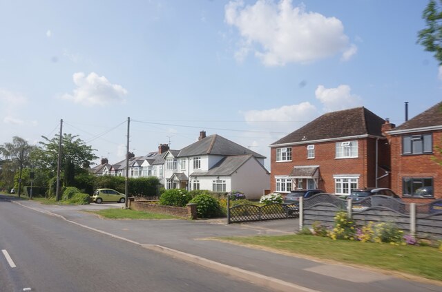
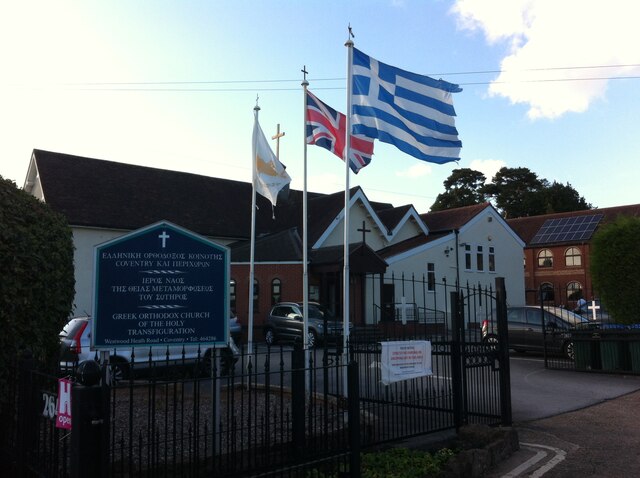
Black Waste Wood Images

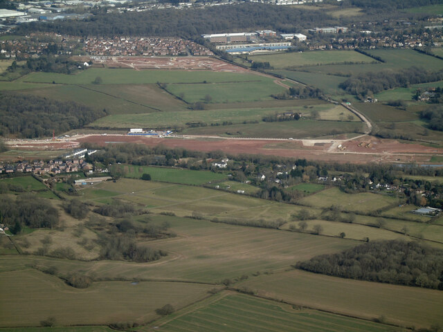
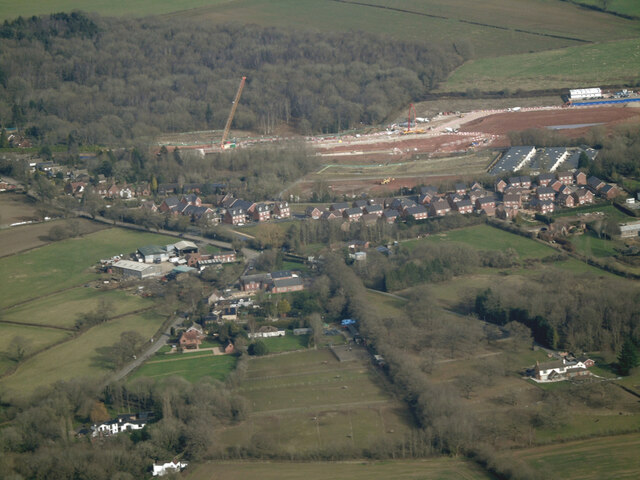
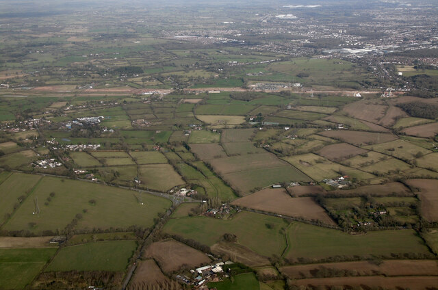
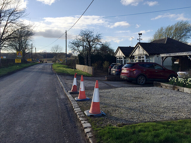
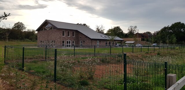
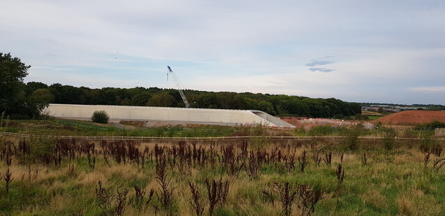
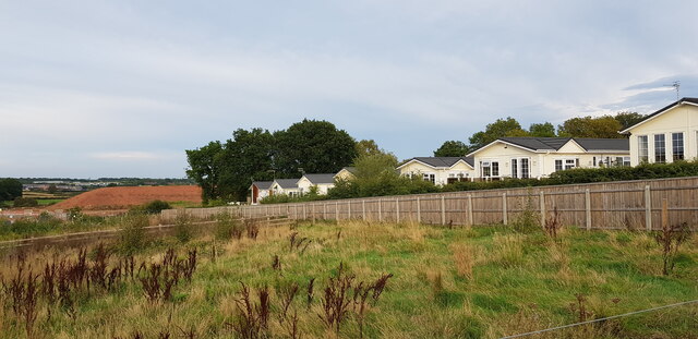
Images are sourced within 2km of 52.382118/-1.6015797 or Grid Reference SP2776. Thanks to Geograph Open Source API. All images are credited.

Nailcote Lane towards Balsall Common
Nailcote Lane at Hodgetts Lane
Hodgetts Lane, Burton Green
Cromwell Lane, Burton Green
Burrow Hill Lane off Red Lane, Burton Green
Houses on Red Lane near Burton Green
Red Lane near Long Meadow Barn Farm
Greek Orthodox Church, Westwood Heath Road, Coventry The flags of Cyprus, the United Kingdom and Greece can be seen flying outside the Greek Orthodox Church of the Holy Transfiguration. The church was open to the public on a Heritage Open Day. Tours of the church building were taking place and, in St. George's Hall, the red brick building visible to the right behind the church, could be seen a display on the history of the church and the Greek Cypriot community and another on the history of the Westwood Heath area by the Westwood Heath History Group. For the website of the church see here <span class="nowrap"><a title="https://greekchurchcoventry.org/index.html" rel="nofollow ugc noopener" href="https://greekchurchcoventry.org/index.html">Link</a><img style="margin-left:2px;" alt="External link" title="External link - shift click to open in new window" src="https://s1.geograph.org.uk/img/external.png" width="10" height="10"/></span> , for the website of the history group see here <span class="nowrap"><a title="https://westwoodheathra.wixsite.com/website" rel="nofollow ugc noopener" href="https://westwoodheathra.wixsite.com/website">Link</a><img style="margin-left:2px;" alt="External link" title="External link - shift click to open in new window" src="https://s1.geograph.org.uk/img/external.png" width="10" height="10"/></span> .

According to the church display, the first Cypriot migrants arrived in Coventry in the 1930s. At that time Cyprus was a colony of the British Empire. Increasing migration in the 1950s and 1960s led to the establishment of a Greek-language supplementary school and a Greek Orthodox church, which worshipped in Church of England churches. In 1977 the community acquired a Victorian school building in Westwood Heath. This was consecrated as an Orthodox church in 1978. It has since been extended, while classrooms for the Greek school have been built along with St George's Hall as a community venue <span class="nowrap"><a title="https://greekchurchcoventry.org/about-us.html" rel="nofollow ugc noopener" href="https://greekchurchcoventry.org/about-us.html">Link</a><img style="margin-left:2px;" alt="External link" title="External link - shift click to open in new window" src="https://s1.geograph.org.uk/img/external.png" width="10" height="10"/></span> . The site overlooks the Warwickshire countryside beyond the city.

The church itself has the rectangular shape and rows of wooden pews of a western church building, but there is no mistaking the Orthodox character of the painted icons on the walls and on the iconostasis, the screen which divides the sanctuary with the altar from the main body of the church.
Greek Orthodox Church, Westwood Heath Road, Coventry
The flags of Cyprus, the United Kingdom and Greece can be seen flying outside the Greek Orthodox Church of the Holy Transfiguration. The church was open to the public on a Heritage Open Day. Tours of the church building were taking place and, in St. George's Hall, the red brick building visible to the right behind the church, could be seen a display on the history of the church and the Greek Cypriot community and another on the history of the Westwood Heath area by the Westwood Heath History Group. For the website of the church see here LinkExternal link , for the website of the history group see here LinkExternal link . According to the church display, the first Cypriot migrants arrived in Coventry in the 1930s. At that time Cyprus was a colony of the British Empire. Increasing migration in the 1950s and 1960s led to the establishment of a Greek-language supplementary school and a Greek Orthodox church, which worshipped in Church of England churches. In 1977 the community acquired a Victorian school building in Westwood Heath. This was consecrated as an Orthodox church in 1978. It has since been extended, while classrooms for the Greek school have been built along with St George's Hall as a community venue LinkExternal link . The site overlooks the Warwickshire countryside beyond the city. The church itself has the rectangular shape and rows of wooden pews of a western church building, but there is no mistaking the Orthodox character of the painted icons on the walls and on the iconostasis, the screen which divides the sanctuary with the altar from the main body of the church.
Future HS2-spotting opportunity, southeast of Broadwells Wood In this scene near South Hurst Farm HS2 will run across from the right into Broadwells Wood, left. The view is from the Kenilworth Greenway.
Future HS2-spotting opportunity, southeast of Broadwells Wood
In this scene near South Hurst Farm HS2 will run across from the right into Broadwells Wood, left. The view is from the Kenilworth Greenway.
HS2 construction site at Burton Green from the air Burton Green is in the foreground, Westwood Heath and the Network Rail conference centre are in the distance. Viewed from a Birmingham bound flight from Prague.
HS2 construction site at Burton Green from the air
Burton Green is in the foreground, Westwood Heath and the Network Rail conference centre are in the distance. Viewed from a Birmingham bound flight from Prague.
HS2 construction site at Burton Green from the air Burton Green is in the foreground. Viewed from a Birmingham bound flight from Prague.
HS2 construction site at Burton Green from the air
Burton Green is in the foreground. Viewed from a Birmingham bound flight from Prague.
HS2 construction site near Burton Green from the air Burton Green is just out of sight to the right of the works, with the western side of Coventry to the top right corner. The roundabout at the junction of the A4177 and A452 is in the foreground. Viewed from a Birmingham bound flight from Prague.
HS2 construction site near Burton Green from the air
Burton Green is just out of sight to the right of the works, with the western side of Coventry to the top right corner. The roundabout at the junction of the A4177 and A452 is in the foreground. Viewed from a Birmingham bound flight from Prague.
Approaching HS2 site access, Crackley Lane, near Westwood Heath The site access, signed further along the road, is seen in <a href="https://www.geograph.org.uk/photo/6832380">SP2775 : HS2 enabling works, Crackley-Burton Green, March 2021 (13)</a>.
Approaching HS2 site access, Crackley Lane, near Westwood Heath
The site access, signed further along the road, is seen in SP2775 : HS2 enabling works, Crackley-Burton Green, March 2021 (13).
Burton Green Village Hall This impressive village hall is newly built, I imagine as compensation for the disruption caused by HS2 which is being built right through the village.
Burton Green Village Hall
This impressive village hall is newly built, I imagine as compensation for the disruption caused by HS2 which is being built right through the village.
HS2 Construction at Burton Green At this point a tunnel is being built to convey HS2 which here is close to residential settlement. I imagine the tunnel will later be buried and the area landscaped.
HS2 Construction at Burton Green
At this point a tunnel is being built to convey HS2 which here is close to residential settlement. I imagine the tunnel will later be buried and the area landscaped.
Broadwell Woods, Burton Green The homes of Broadwell Woods can be seen behind the fence. The construction of HS2 can just be seen in the left distance - there is a large mound of soil.
Broadwell Woods, Burton Green
The homes of Broadwell Woods can be seen behind the fence. The construction of HS2 can just be seen in the left distance - there is a large mound of soil.
Shared Use Path, Burton Green This shared use path is quite newly constructed and forms part of the Kenilworth Greenway HS2 diversion which is in place for the duration of the works. The new Burton Green village hall is in the background.
Shared Use Path, Burton Green
This shared use path is quite newly constructed and forms part of the Kenilworth Greenway HS2 diversion which is in place for the duration of the works. The new Burton Green village hall is in the background.
A pair of BISF Type A houses, Charter Avenue, Canley There are around two hundred of these houses in Canley, a post-1945 Coventry council estate; for more information about them, see <a href="https://www.geograph.org.uk/photo/7503157">SP3077 : BISF 'Type A' houses, Freeburn Causeway, Canley</a>, which links to some other examples depicted on Geograph, from various parts of Britain. In brief, they were an ingenious attempt to turn metal-bashing war industries into peacetime makers of prefabricated housing, to address an acute housing shortage at a time when labour, and especially skilled building labour, was also in short supply. The architect Frederick Gibberd and the engineer Donovan Lee designed a steel house, with steel panels set in a steel frame, to be made by the British Iron & Steel Federation (BISF), in prefabricated parts that could be assembled easily.

The right-hand house appears little changed, with steel panels and steel-framed windows visible - a well-preserved historic building, but a rather chilly one to live in, I suspect - the much-modified left-hand house looks much cosier.
A pair of BISF Type A houses, Charter Avenue, Canley
There are around two hundred of these houses in Canley, a post-1945 Coventry council estate; for more information about them, see SP3077 : BISF 'Type A' houses, Freeburn Causeway, Canley, which links to some other examples depicted on Geograph, from various parts of Britain. In brief, they were an ingenious attempt to turn metal-bashing war industries into peacetime makers of prefabricated housing, to address an acute housing shortage at a time when labour, and especially skilled building labour, was also in short supply. The architect Frederick Gibberd and the engineer Donovan Lee designed a steel house, with steel panels set in a steel frame, to be made by the British Iron & Steel Federation (BISF), in prefabricated parts that could be assembled easily. The right-hand house appears little changed, with steel panels and steel-framed windows visible - a well-preserved historic building, but a rather chilly one to live in, I suspect - the much-modified left-hand house looks much cosier.
Show me another place!

Black Waste Wood is located at Grid Ref: SP2776 (Lat: 52.382118, Lng: -1.6015797)

Administrative County: Warwickshire

District: Warwick

Police Authority: Warwickshire

What 3 Words

///excuse.mile.transit. Near Balsall Common, West Midlands

Nearby Locations

Black Waste Wood

Related Wikis

Burton Green

Burton Green is a village and civil parish in the Warwick district of the county of Warwickshire, England, some 4.8 km (3.0 mi) northwest of Kenilworth...

Tile Hill railway station

Tile Hill railway station is situated in the west of Tile Hill, Coventry, in the West Midlands of England. The station, and all trains serving it, are...

Westwood Heath

Westwood Heath is a southwestern suburb of the City of Coventry in the West Midlands, England.It is bordered by the suburbs of Cannon Park and Canley,...

WMG Academy for Young Engineers, Coventry

WMG Academy for Young Engineers is a University Technical College in the Canley area of Coventry, England. The college opened in 2014 on a site adjacent...

The Westwood Academy

The Westwood Academy (formerly The Westwood School) is an academy school for children aged 11–18 in Canley, Coventry, England. Its sports centre was completed...

Coventry College of Education

Coventry College of Education existed as a separate institution until its incorporation into the University of Warwick in 1978 as the Westwood campus....

Warwick Business School

Warwick Business School (WBS) is the business school of the University of Warwick and an academic department within the Faculty of Social Sciences. It...

West Coventry Academy

West Coventry Academy is a co-educational secondary school and sixth form located in the Tile Hill area of Coventry, West Midlands, England. It was formed...

Nearby Amenities

Located within 500m of 52.382118,-1.6015797
Bus Stop
Cromwell Lane
Bus: yes
Naptan AtcoCode: 4200F013700
Naptan Bearing: S
Naptan CommonName: Cromwell Lane
Naptan Indicator: Opp
Naptan NaptanCode: warampta
Naptan PlusbusZoneRef: BHAMNWS
Naptan Street: Cromwell Lane
Naptan Verified: no
Public Transport: platform
Source: naptan_import
Lat/Long: 52.3807715/-1.6059859
Bus Stop
Cromwell Lane
Bus: yes
Naptan AtcoCode: 4200F013800
Naptan Bearing: N
Naptan CommonName: Cromwell Lane
Naptan Indicator: Adj
Naptan NaptanCode: waramptd
Naptan PlusbusZoneRef: BHAMNWS
Naptan Street: Cromwell Lane
Naptan Verified: no
Public Transport: platform
Source: naptan_import
Lat/Long: 52.3812476/-1.6059875
Bus Stop
Hodgetts Lane
Bus: yes
Naptan AtcoCode: 4200F126150
Naptan Bearing: NW
Naptan CommonName: Hodgetts Lane
Naptan Crossing: Cromwell Lane
Naptan Indicator: Adj
Naptan NaptanCode: warajwjg
Naptan PlusbusZoneRef: BHAMNWS
Naptan Street: Hodgetts Lane
Naptan Verified: no
Public Transport: platform
Source: naptan_import
Lat/Long: 52.381103/-1.6063656
Barrier: kissing_gate
Lat/Long: 52.3850808/-1.5985974
Barrier: kissing_gate
Lat/Long: 52.3852718/-1.598946
Barrier: kissing_gate
Lat/Long: 52.378933/-1.6033988
Barrier: kissing_gate
Lat/Long: 52.3842538/-1.5969029
Barrier: kissing_gate
Lat/Long: 52.3801904/-1.6007133
Bus Stop
Bus: yes
Public Transport: platform
Lat/Long: 52.3842203/-1.6041035
Bus Stop
Bus: yes
Public Transport: platform
Lat/Long: 52.3840476/-1.6043745
Burton Green
Is In: Warwickshire
Place: village
Website: http://burtongreen.blogspot.co.uk/
Wikidata: Q5000861
Wikipedia: en:Burton Green
Lat/Long: 52.3799015/-1.6058042
Post Box
Brand: Royal Mail
Brand Wikidata: Q638098
Collection Times: Mo-Fr 16:30; Sa 09:00
Operator: Royal Mail
Operator Wikidata: Q638098
Post Box Type: lamp
Ref: CV8 273
Royal Cypher: EIIR
Royal Cypher Wikidata: Q33102113
Source: survey
Lat/Long: 52.3814783/-1.6057233
Barrier: kissing_gate
Lat/Long: 52.380939/-1.5968924
Bus Stop
Cromwell Lane / Water Tower
Bus: yes
Naptan AtcoCode: 43000102202
Naptan Bearing: N
Naptan BusStopType: MKD
Naptan CommonName: Water Tower
Naptan Indicator: on
Naptan NaptanCode: nwmwgjtd
Naptan Status: ACT
Naptan StopType: BCT
Naptan Street: CROMWELL LANE
Naptan Towards: Coventry
Public Transport: platform
Route Ref: 87;233
Source: WMCA
Lat/Long: 52.3841162/-1.6043533
Bus Stop
Cromwell Lane / Water Tower
Bench: no
Bin: no
Bus: yes
Naptan AtcoCode: 43000102201
Naptan Bearing: S
Naptan BusStopType: MKD
Naptan CommonName: Water Tower
Naptan Indicator: on
Naptan NaptanCode: nwmwgjta
Naptan Status: ACT
Naptan StopType: BCT
Naptan Street: CROMWELL LANE
Naptan Towards: Burton Green
Public Transport: platform
Route Ref: 87;233
Shelter: no
Source: WMCA
Tactile Paving: no
Lat/Long: 52.3842409/-1.6039849
Generator Method: photovoltaic
Generator Output Electricity: yes
Generator Source: solar
Generator Type: solar_photovoltaic_panel
Location: roof
Power: generator
Lat/Long: 52.3795252/-1.6064561
Turning Circle
Lat/Long: 52.3784941/-1.6020083
The data included in this document is from www.openstreetmap.org. The data is made available under ODbL.

Have you been to Black Waste Wood?

Leave your review of Black Waste Wood below (or comments, questions and feedback).