Bogs Plantation
Wood, Forest in Yorkshire Hambleton
England
Bogs Plantation
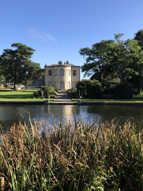
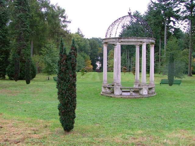
Bogs Plantation, located in Yorkshire, is a sprawling woodland area known for its natural beauty and diverse ecosystem. Covering a vast expanse of land, the plantation is a popular destination for nature enthusiasts, hikers, and wildlife photographers.
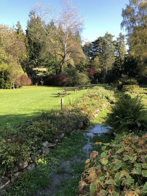
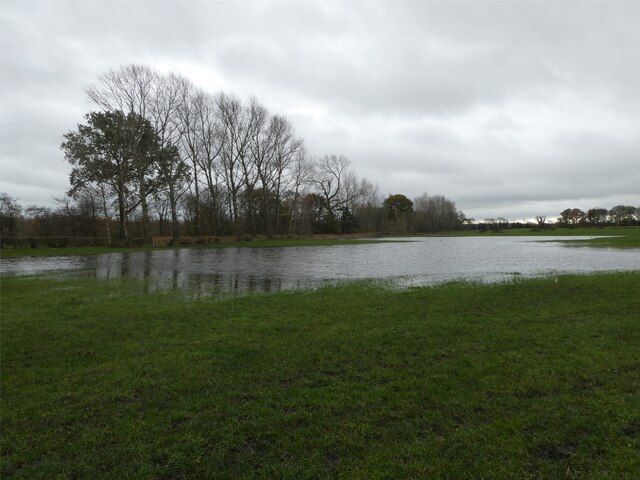
The plantation is primarily composed of dense woodlands, which consist of a variety of tree species, including oak, birch, and ash. These trees create a picturesque landscape and provide a habitat for numerous wildlife species, such as deer, foxes, and a wide array of bird species.
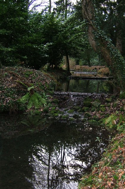
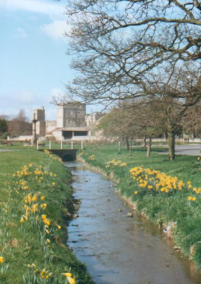
The forest floor is covered with a carpet of mosses, ferns, and wildflowers, creating a stunning display of colors and textures. The plantation is also home to several small streams and ponds, which further enhance its natural charm.
Visitors to Bogs Plantation can enjoy a range of activities, including hiking, bird watching, and photography. There are several well-marked trails that wind through the woodland, offering opportunities to explore its hidden corners and discover its hidden gems.
In addition to its natural beauty, Bogs Plantation also plays an important role in conservation efforts. The woodland serves as a crucial habitat for many rare and endangered species, and conservation initiatives are in place to protect and preserve this unique ecosystem.
Overall, Bogs Plantation in Yorkshire is a haven for nature lovers, offering a peaceful retreat and a chance to reconnect with the beauty of the natural world.
If you have any feedback on the listing, please let us know in the comments section below.
Bogs Plantation Images
Images are sourced within 2km of 54.258296/-1.5837545 or Grid Reference SE2784. Thanks to Geograph Open Source API. All images are credited.


Bogs Plantation is located at Grid Ref: SE2784 (Lat: 54.258296, Lng: -1.5837545)
Division: North Riding
Administrative County: North Yorkshire
District: Hambleton
Police Authority: North Yorkshire
What 3 Words
///took.thousands.upgrading. Near Bedale, North Yorkshire
Nearby Locations
Related Wikis

Snape with Thorp
Snape with Thorp is a civil parish in the Hambleton District of North Yorkshire, England. It comprises the village of Snape and the hamlet of Thorp. The...

Snape, North Yorkshire
Snape is a large village in the civil parish of Snape with Thorp in North Yorkshire, England, located about 3 miles (5 km) south of Bedale and 3 miles...
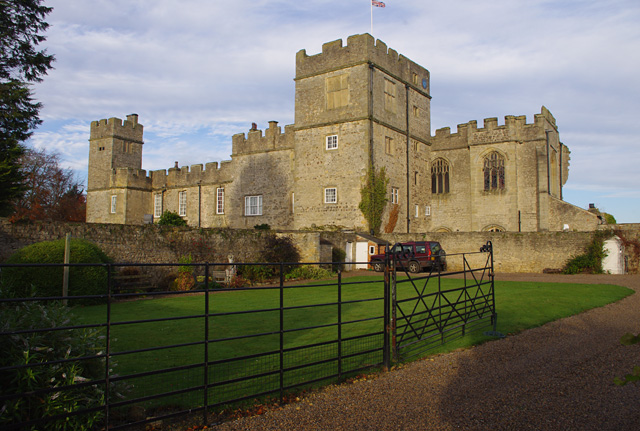
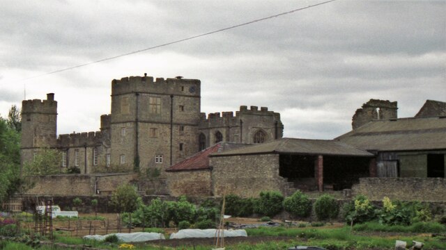
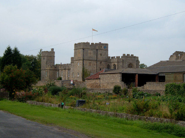
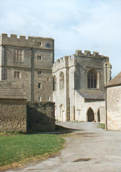
Snape Castle
Snape Castle is a semi-fortified manor house in the village of Snape, North Yorkshire, England. The castle is 3 miles (5 km) south of Bedale and 19 miles...
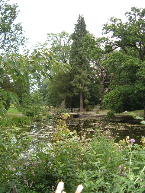
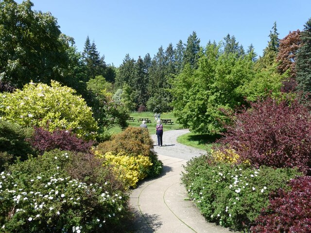
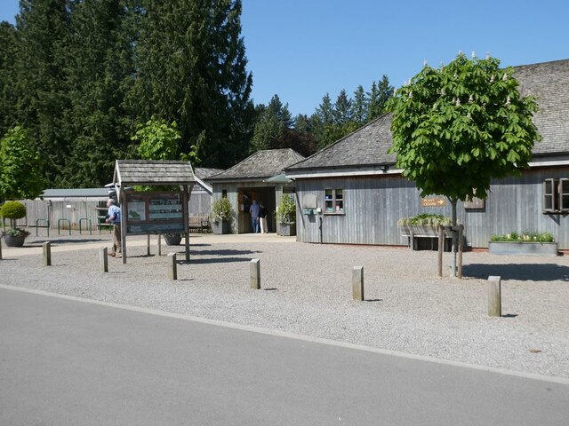
Thorp Perrow Arboretum
Thorp Perrow Arboretum is an 85-acre (34 ha) woodland garden arboretum near Bedale in North Yorkshire, England. == History == Thorp is a common place-name...
Firby, Hambleton
Firby is a small village and civil parish in North Yorkshire, England. It lies 1-mile (1.5 km) south of Bedale. The population of the parish was estimated...

Hallikeld
Hallikeld was a Wapentake (Hundred), which is an administrative division (or ancient district), in the historic county of the North Riding of Yorkshire...

Bedale High School
Bedale High School is a coeducational, community school situated on Fitzalan Road, Bedale, North Yorkshire, England. The School's 2004 Ofsted Inspection...

Well, North Yorkshire
Well is a small village and civil parish in North Yorkshire, England. It is about 4 miles south of Bedale, near Snape. Well is situated at the edge of...
Nearby Amenities
Located within 500m of 54.258296,-1.5837545Have you been to Bogs Plantation?
Leave your review of Bogs Plantation below (or comments, questions and feedback).