Chantal's Copse
Wood, Forest in Wiltshire New Forest
England
Chantal's Copse
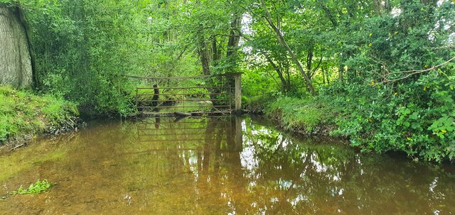
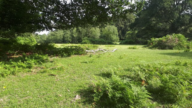
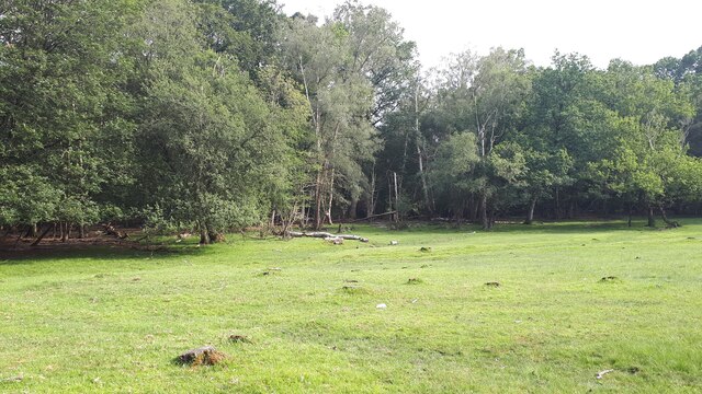
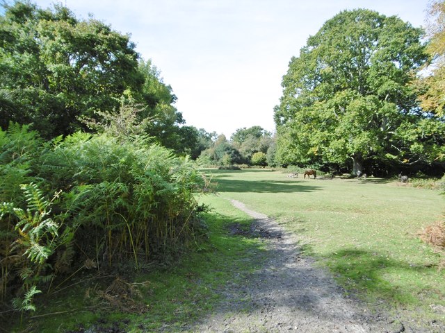
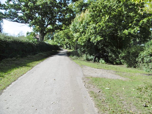
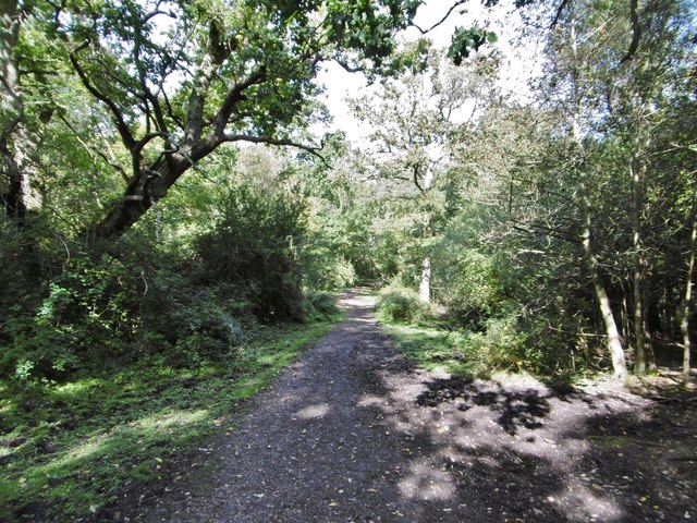
Chantal's Copse is a beautiful woodland located in the county of Wiltshire, England. This enchanting forest covers an area of approximately 50 acres and is known for its diverse range of flora and fauna. The copse is situated in a rural area, surrounded by rolling hills and picturesque countryside, making it a popular destination for nature enthusiasts and hikers.
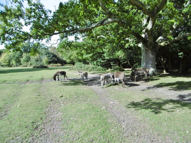
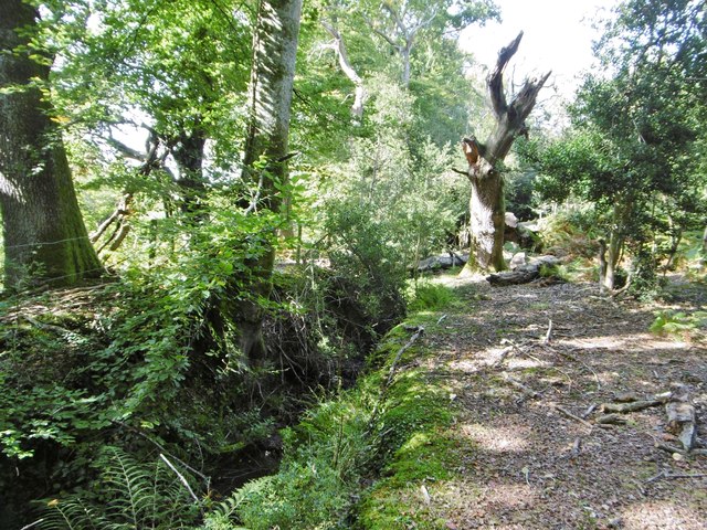
The woodland is predominantly composed of broadleaf trees, including oak, beech, and ash, which create a vibrant and lush canopy that provides shade and shelter to the forest floor. Beneath the towering trees, a rich undergrowth of ferns, wildflowers, and mosses thrives, adding to the copse's natural beauty. The forest is also home to a variety of wildlife, such as deer, badgers, foxes, and a wide range of bird species, making it a haven for wildlife lovers and birdwatchers.
Chantal's Copse offers several well-maintained trails and footpaths that meander through the woodland, allowing visitors to explore its wonders at their own pace. These pathways lead to serene spots, including a small stream and a peaceful pond, where visitors can relax and immerse themselves in the tranquility of the surroundings.
The copse is open to the public year-round and is particularly stunning during the spring when the forest floor is carpeted with bluebells, creating a breathtaking sight. Visitors are advised to wear appropriate footwear and bring binoculars to fully appreciate the copse's natural splendor and the wildlife it harbors.
Overall, Chantal's Copse is a remarkable woodland in Wiltshire, offering a serene escape into nature, where visitors can experience the beauty and tranquility of the English countryside.
If you have any feedback on the listing, please let us know in the comments section below.
Chantal's Copse Images
Images are sourced within 2km of 50.935231/-1.6139902 or Grid Reference SU2715. Thanks to Geograph Open Source API. All images are credited.


Chantal's Copse is located at Grid Ref: SU2715 (Lat: 50.935231, Lng: -1.6139902)
Administrative County: Hampshire
District: New Forest
Police Authority: Hampshire
What 3 Words
///promising.exact.plant. Near Cadnam, Hampshire
Nearby Locations
Related Wikis

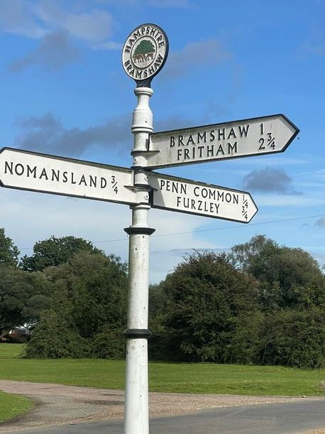
Bramshaw
Bramshaw is a small village and civil parish in Hampshire, England. It lies just inside the New Forest. The name Bramshaw means Bramble Wood. Until 1895...

Brook, New Forest
Brook is a hamlet in the civil parish of Bramshaw, in Hampshire, England. It lies just inside the New Forest. The hamlet contains a mix of 18th and 19th...

Landford Heath
Landford Heath (grid reference SU265178) is an 11.75 hectare biological Site of Special Scientific Interest near Landford in southeast Wiltshire, England...
Upper Canterton
Upper Canterton is a village in Hampshire, England, located at 50°54′36″N 1°37′24″W. It is near Minstead. == References == The geographic coordinates are...

Nomansland, Wiltshire
Nomansland is a small village in Wiltshire, England, close to the county border with Hampshire. It is part of the parish of Landford and lies about 3.5...

Bartley Lodge
Bartley Lodge is a country house near Cadnam in Hampshire, England, within the boundaries of the New Forest National Park. It was built in the 18th century...

Fritham
Fritham is a small village in Hampshire, England. It lies in the north of the New Forest, near the Wiltshire border. It is in the civil parish of Bramshaw...

Copythorne
Copythorne is a village and civil parish in Hampshire, England, within the boundaries of the New Forest National Park. == Overview == Copythorne is in...
Related Videos

Walk and Cook in the Woods | Homemade Backpacking Meal | New Forest
A day hike through the countryside, and an invented (by me) backpacker meal. Will it meet my already exceptionally high gourmet ...

Short walk | New Forest | Crows | Ducks | No Humans | Stay Healthy
Short walk in countryside around where I live. Starts and ends at my front door. The great thing about working from home now is 5 ...

Jeden Dzień w New Forest. Najbardziej Popularny Szlak- Lyndhurst Hill and Swan Green Circular. UK
Dziś, dla odmiany zabierzemy Was do lasu. Ale to nie będzie byle jaki las! New Forest to miejsce, które było inspiracją dla ...

Country Garden Ideas // This Garden Design & Build Will Give You Some // A Rich Brothers Design
This one was special Filmed over a period of nearly 18 months this video documents the complete renovation and creation of ...
Nearby Amenities
Located within 500m of 50.935231,-1.6139902Have you been to Chantal's Copse?
Leave your review of Chantal's Copse below (or comments, questions and feedback).