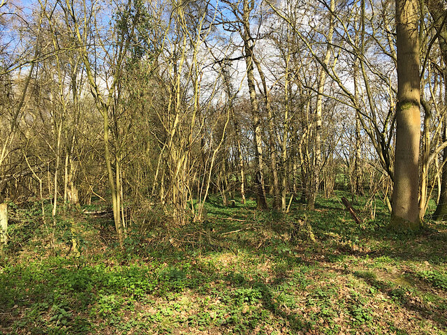
Long Meadow Wood

Wood, Forest in Warwickshire Warwick

England

Long Meadow Wood

Hodgetts Lane, Burton Green
Hodgetts Lane, Burton Green Credit: Ian S

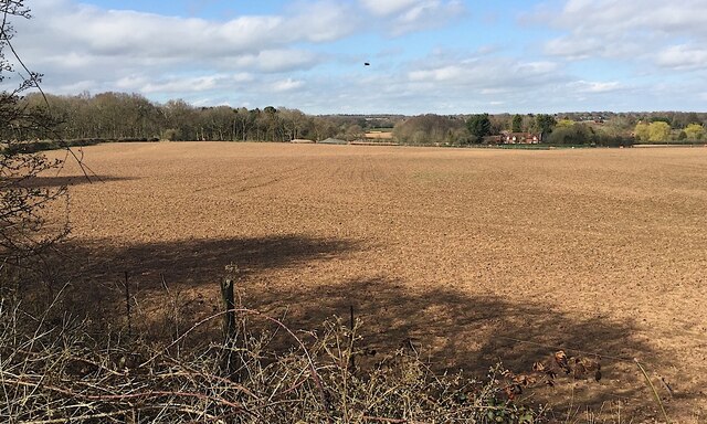
Long Meadow Wood is a picturesque woodland area located in Warwickshire, England. Covering an expansive area of lush greenery, it is a popular destination for locals and tourists alike. The wood is characterized by its diverse range of tree species, including oak, birch, beech, and ash, which create a vibrant and enchanting atmosphere.

The wood is home to a variety of wildlife, making it a haven for nature enthusiasts. Visitors may spot squirrels energetically scampering across the forest floor, or hear the melodic songs of birds echoing through the trees. It is not uncommon to encounter deer gracefully grazing in the meadow adjacent to the wood.

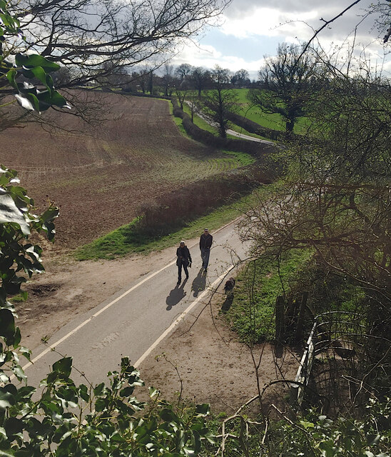
Long Meadow Wood offers a range of recreational activities for visitors to enjoy. There are well-maintained walking trails that wind through the wood, allowing hikers to immerse themselves in the peaceful surroundings. The wood also features designated picnic areas, where visitors can relax and enjoy a meal amidst the natural beauty.

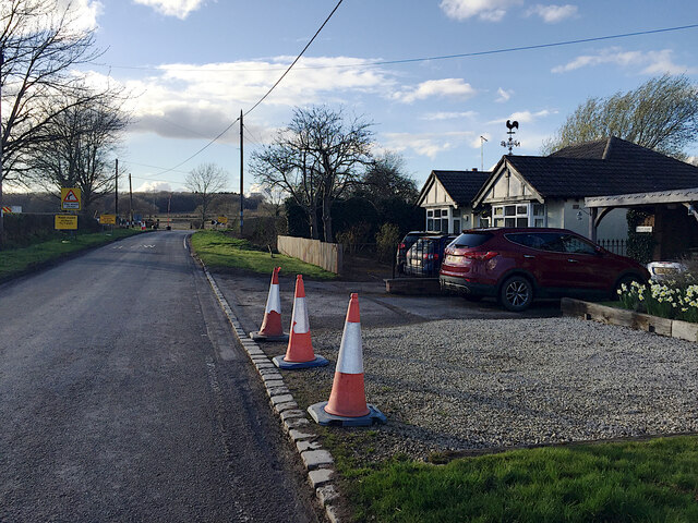
The wood is easily accessible, with ample parking available for those arriving by car. It is conveniently located near several nearby towns and villages, making it an ideal day trip destination. The management of Long Meadow Wood is committed to preserving its natural beauty and ensuring the sustainability of the ecosystem.

Overall, Long Meadow Wood is a delightful destination for nature lovers seeking tranquility and a connection with the great outdoors. Its diverse flora and fauna, coupled with its accessibility and recreational offerings, make it a gem within Warwickshire.

If you have any feedback on the listing, please let us know in the comments section below.

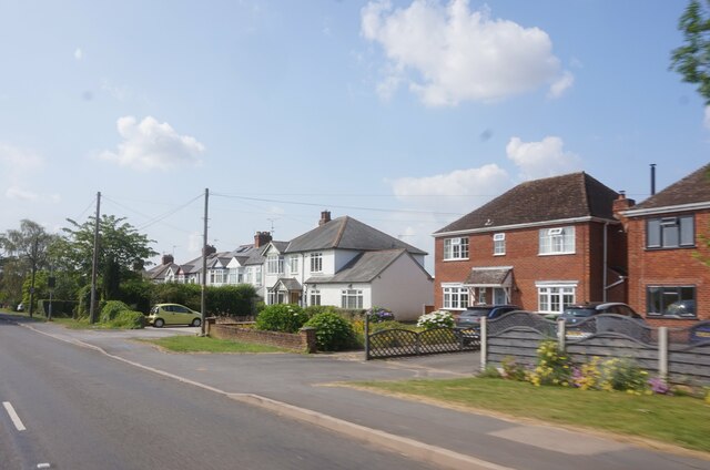
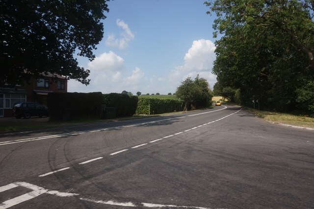
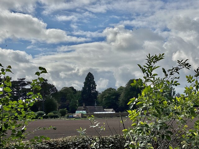
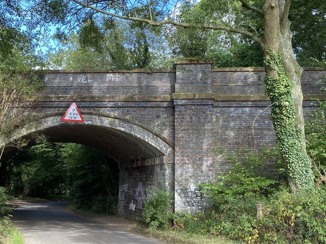
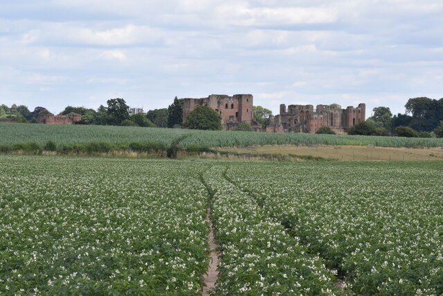
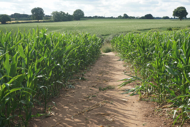
Long Meadow Wood Images

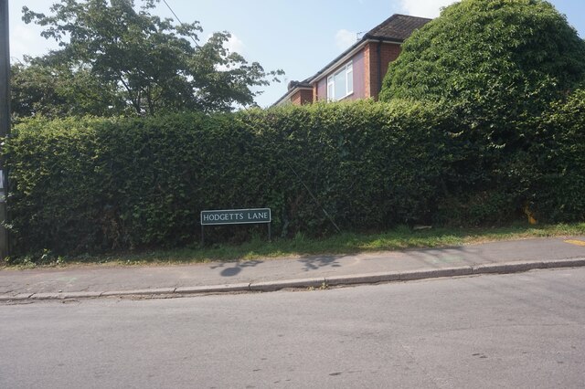
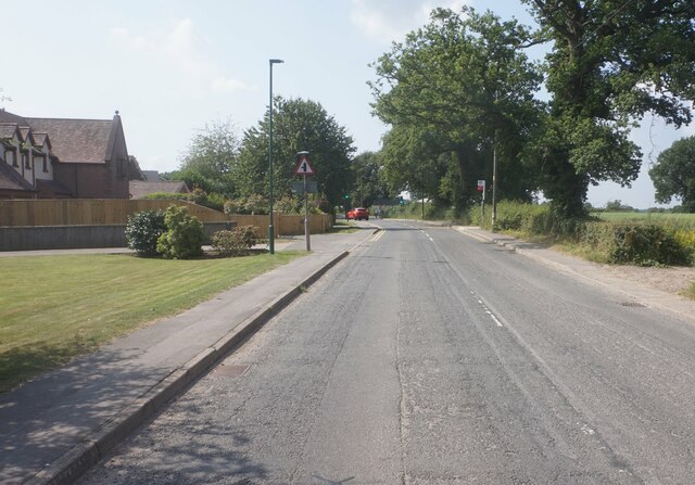
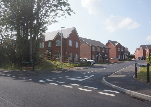
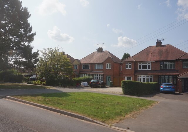
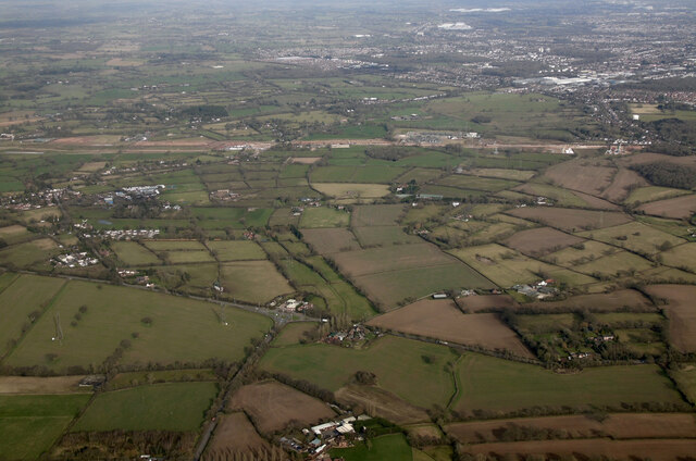
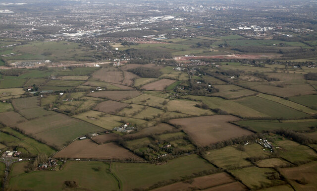
Images are sourced within 2km of 52.368384/-1.602467 or Grid Reference SP2774. Thanks to Geograph Open Source API. All images are credited.

Hodgetts Lane, Burton Green
Cromwell Lane, Burton Green
Burrow Hill Lane off Red Lane, Burton Green
Houses on Red Lane near Burton Green
Red Lane near Long Meadow Barn Farm
A452 Birmingham Road at Red Lane
The Spring Estate
The Spring Estate
Railway Bridge Bridge on the old Kenilworth to Birmingham line. Now the Coventry Way.
Railway Bridge
Bridge on the old Kenilworth to Birmingham line. Now the Coventry Way.
Hollis Lane from the Kenilworth Greenway Hollis Lane comes from the northwest end of Kenilworth. The kissing gate, lower right, is an access to the Greenway. North of the Greenway it is called Blind Lane <a href="https://www.geograph.org.uk/photo/6827343">SP2874 : Blind Lane, Crackley</a>; it joins Crackley Lane between Crackley Wood and Roughknowles Wood, close to the route of HS2.
Hollis Lane from the Kenilworth Greenway
Hollis Lane comes from the northwest end of Kenilworth. The kissing gate, lower right, is an access to the Greenway. North of the Greenway it is called Blind Lane SP2874 : Blind Lane, Crackley; it joins Crackley Lane between Crackley Wood and Roughknowles Wood, close to the route of HS2.
Future HS2-spotting opportunity, southeast of Broadwells Wood In this scene near South Hurst Farm HS2 will run across from the right into Broadwells Wood, left. The view is from the Kenilworth Greenway.
Future HS2-spotting opportunity, southeast of Broadwells Wood
In this scene near South Hurst Farm HS2 will run across from the right into Broadwells Wood, left. The view is from the Kenilworth Greenway.
HS2 construction site at Burton Green from the air Burton Green is in the foreground, Westwood Heath and the Network Rail conference centre are in the distance. Viewed from a Birmingham bound flight from Prague.
HS2 construction site at Burton Green from the air
Burton Green is in the foreground, Westwood Heath and the Network Rail conference centre are in the distance. Viewed from a Birmingham bound flight from Prague.
HS2 construction site at Burton Green from the air Burton Green is in the foreground. Viewed from a Birmingham bound flight from Prague.
HS2 construction site at Burton Green from the air
Burton Green is in the foreground. Viewed from a Birmingham bound flight from Prague.
HS2 construction site near Burton Green from the air Burton Green is just out of sight to the right of the works, with the western side of Coventry to the top right corner. The roundabout at the junction of the A4177 and A452 is in the foreground. Viewed from a Birmingham bound flight from Prague.
HS2 construction site near Burton Green from the air
Burton Green is just out of sight to the right of the works, with the western side of Coventry to the top right corner. The roundabout at the junction of the A4177 and A452 is in the foreground. Viewed from a Birmingham bound flight from Prague.
HS2 construction site at Burton Green from the air Burton Green is to the right, Coventry in the distance. Viewed from a Birmingham bound flight from Prague.
HS2 construction site at Burton Green from the air
Burton Green is to the right, Coventry in the distance. Viewed from a Birmingham bound flight from Prague.
Approaching HS2 site access, Crackley Lane, near Westwood Heath The site access, signed further along the road, is seen in <a href="https://www.geograph.org.uk/photo/6832380">SP2775 : HS2 enabling works, Crackley-Burton Green, March 2021 (13)</a>.
Approaching HS2 site access, Crackley Lane, near Westwood Heath
The site access, signed further along the road, is seen in SP2775 : HS2 enabling works, Crackley-Burton Green, March 2021 (13).
Crackley Wood north of the Kenilworth Greenway By contrast, south of the former railway line, Crackley Wood is a council-owned and much-loved local nature reserve. Here to the north the wood remains private and apparently unmanaged: the sad state of many small woodlands. There is neglected hazel coppice, not much oak, and some invasion by birch – perhaps following a fire or 'tidying-up'. In the distance, centre, the bluebells are coming up but here, where there is relatively easy access from the Greenway, there is no sign of them.
Crackley Wood north of the Kenilworth Greenway
By contrast, south of the former railway line, Crackley Wood is a council-owned and much-loved local nature reserve. Here to the north the wood remains private and apparently unmanaged: the sad state of many small woodlands. There is neglected hazel coppice, not much oak, and some invasion by birch – perhaps following a fire or 'tidying-up'. In the distance, centre, the bluebells are coming up but here, where there is relatively easy access from the Greenway, there is no sign of them.
Kenilworth Castle from a potato field Viewed from agricultural land on the western side of the castle.
Kenilworth Castle from a potato field
Viewed from agricultural land on the western side of the castle.
Footpath to Chase Lane Passing through agricultural land to the west of Kenilworth. Corn is in this field and potatoes in the next.
Footpath to Chase Lane
Passing through agricultural land to the west of Kenilworth. Corn is in this field and potatoes in the next.
Show me another place!

Long Meadow Wood is located at Grid Ref: SP2774 (Lat: 52.368384, Lng: -1.602467)

Administrative County: Warwickshire

District: Warwick

Police Authority: Warwickshire

What 3 Words

///open.survey.alert. Near Kenilworth, Warwickshire

Nearby Locations

Long Meadow Wood

Related Wikis

Nearby Amenities

Located within 500m of 52.368384,-1.602467
Bus Stop
Stores
Bus: yes
Naptan AtcoCode: 4200F013900
Naptan Bearing: N
Naptan CommonName: Stores
Naptan Indicator: Adj
Naptan Landmark: Stores
Naptan NaptanCode: waramptg
Naptan Street: Red Lane
Naptan Verified: no
Public Transport: platform
Source: naptan_import
Lat/Long: 52.3679262/-1.5952927
Bus Stop
Red Lane
Bus: yes
Naptan AtcoCode: 4200F127671
Naptan Bearing: NW
Naptan CommonName: Red Lane
Naptan Indicator: Adj
Naptan NaptanCode: warawtpg
Naptan Street: Red Lane
Naptan Verified: no
Public Transport: platform
Source: naptan_import
Lat/Long: 52.3700714/-1.5968741
Post Box
Brand: Royal Mail
Brand Wikidata: Q638098
Collection Times: Mo-Fr 16:30; Sa 09:00
Operator: Royal Mail
Operator Wikidata: Q638098
Post Box Mounting: brick_pillar
Post Box Type: wall
Ref: CV8 242
Royal Cypher: EIIR
Royal Cypher Wikidata: Q33102113
Source: survey
Lat/Long: 52.3677448/-1.5952626
Material: wood
Operator: National Grid Electricity Distribution
Operator Wikidata: Q7988183
Power: pole
Lat/Long: 52.3648283/-1.6007823
Material: wood
Operator: National Grid Electricity Distribution
Operator Wikidata: Q7988183
Power: pole
Lat/Long: 52.3649512/-1.6022229
Material: wood
Operator: National Grid Electricity Distribution
Operator Wikidata: Q7988183
Power: pole
Lat/Long: 52.3647973/-1.6033977
Material: wood
Operator: National Grid Electricity Distribution
Operator Wikidata: Q7988183
Power: pole
Lat/Long: 52.3646663/-1.604712
Material: wood
Operator: National Grid Electricity Distribution
Operator Wikidata: Q7988183
Power: pole
Lat/Long: 52.3644533/-1.6060209
The data included in this document is from www.openstreetmap.org. The data is made available under ODbL.

Have you been to Long Meadow Wood?

Leave your review of Long Meadow Wood below (or comments, questions and feedback).