Upper Gipsy's Copse
Wood, Forest in Wiltshire Test Valley
England
Upper Gipsy's Copse

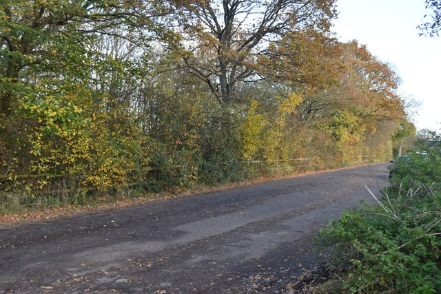
Upper Gipsy's Copse is a woodland area located in the county of Wiltshire, England. Situated in the southern region of the county, it covers an approximate area of 10 hectares. The copse is part of a larger forested area, renowned for its natural beauty and diverse ecosystem.
The woodland is predominantly composed of mature trees, including oak, beech, and ash. These tall, majestic trees create a dense canopy, providing shade and shelter for an array of wildlife species. The forest floor is covered in a rich carpet of leaf litter and moss, providing a suitable habitat for small mammals, insects, and fungi.
Upper Gipsy's Copse is also home to a variety of bird species, both resident and migratory. The trees provide nesting sites, while the undergrowth offers ample foraging opportunities. Birdwatchers frequent the area to spot species such as woodpeckers, warblers, and owls.
The copse is intersected by several well-maintained footpaths, allowing visitors to explore its natural wonders. These paths wind through the forest, offering breathtaking views of the surrounding countryside. The woodland also features a picnic area, providing a tranquil setting for visitors to relax and enjoy the peaceful atmosphere.
Upper Gipsy's Copse is managed by the local authorities to ensure its preservation and conservation. The woodland plays a crucial role in maintaining biodiversity in the region and is protected to maintain its ecological balance.
In conclusion, Upper Gipsy's Copse is a picturesque woodland in Wiltshire, offering visitors a chance to immerse themselves in nature and witness the beauty of a thriving forest ecosystem.
If you have any feedback on the listing, please let us know in the comments section below.
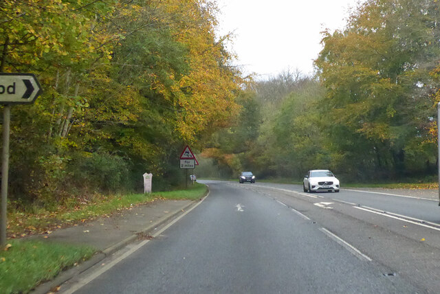
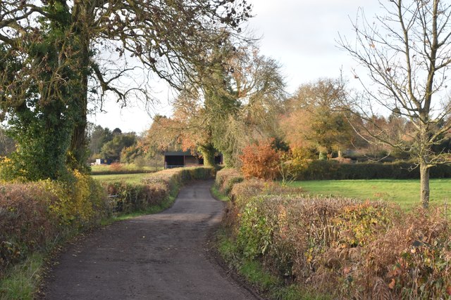
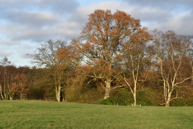
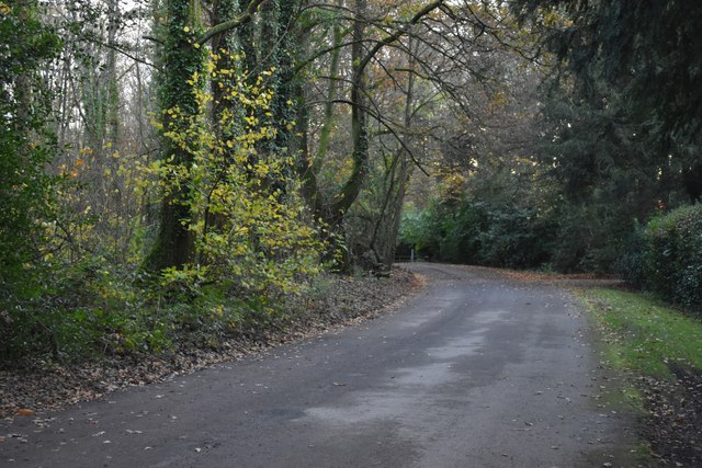
Upper Gipsy's Copse Images
Images are sourced within 2km of 50.986192/-1.6144513 or Grid Reference SU2720. Thanks to Geograph Open Source API. All images are credited.


Upper Gipsy's Copse is located at Grid Ref: SU2720 (Lat: 50.986192, Lng: -1.6144513)
Administrative County: Hampshire
District: Test Valley
Police Authority: Hampshire
What 3 Words
///fabric.feasting.crowd. Near West Wellow, Hampshire
Nearby Locations
Related Wikis
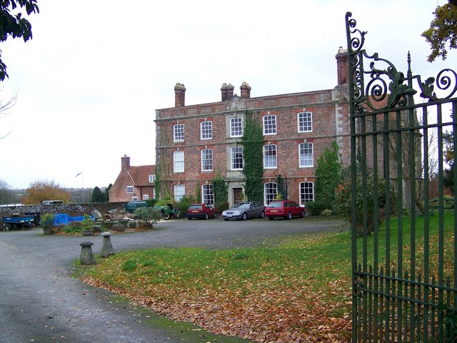
Landford Manor
Landford Manor is a Grade II* listed house in Stock Lane, Landford, Wiltshire, England. It dates from around 1600, the south wing from around 1680, with...

Plaitford
Plaitford is a small village and former civil parish, now in the parish of Melchet Park and Plaitford, in the Test Valley district of Hampshire, England...

Landford
Landford is a village and civil parish 10 miles (16 km) southeast of Salisbury in Wiltshire, England. To the south and east of the parish is the county...

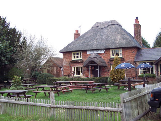
Sherfield English
Sherfield English is a small village and civil parish in the Test Valley borough of Hampshire, England. It is located on the A27 road, around 4 miles...

Landford Bog
Landford Bog (grid reference SU259185) is an 11.6 hectare biological Site of Special Scientific Interest at Landford in southeast Wiltshire, England. It...

Wellow, Hampshire
Wellow is a village and civil parish in Hampshire, England that falls within the Test Valley district. The village lies just outside the New Forest, across...
Whiteparish Common
Whiteparish Common (grid reference SU255233) is a 64.5 hectare biological Site of Special Scientific Interest near Whiteparish, Wiltshire, England, notified...
Hamptworth
Hamptworth is a hamlet in Wiltshire, England, in the extreme southeast of the county. It is in the civil parish of Landford, and lies within the boundaries...
Nearby Amenities
Located within 500m of 50.986192,-1.6144513Have you been to Upper Gipsy's Copse?
Leave your review of Upper Gipsy's Copse below (or comments, questions and feedback).