Hollybank Wood
Wood, Forest in Yorkshire Harrogate
England
Hollybank Wood
Hollybank Wood is a picturesque woodland located in Yorkshire, England. Situated near the village of Mirfield, the wood covers an area of approximately 32 hectares (80 acres) and is a popular destination for nature enthusiasts and walkers alike.
The woodland is predominantly composed of native broadleaf trees, including oak, beech, and birch, which create a diverse and vibrant ecosystem. These trees provide a rich habitat for a wide variety of plant and animal species, making Hollybank Wood a haven for wildlife.
The forest floor is adorned with carpets of bluebells during the spring, creating a stunning display of color and fragrance. In addition to the bluebells, the wood is home to a wide range of wildflowers, including wood anemones, primroses, and wood sorrel.
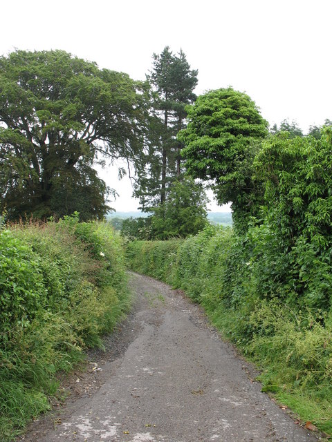
The wood offers a network of footpaths and trails, allowing visitors to explore its natural beauty. There are also picnic areas and benches dotted throughout the woodland, providing a peaceful spot to enjoy a packed lunch or simply soak up the tranquil atmosphere. The diverse range of habitats within Hollybank Wood means that it is a great place for birdwatching, with species such as nuthatches, woodpeckers, and tawny owls often spotted by attentive visitors.
Overall, Hollybank Wood is a treasured natural gem in Yorkshire, offering a peaceful escape from the hustle and bustle of daily life and providing a wonderful opportunity to immerse oneself in the beauty of nature.
If you have any feedback on the listing, please let us know in the comments section below.
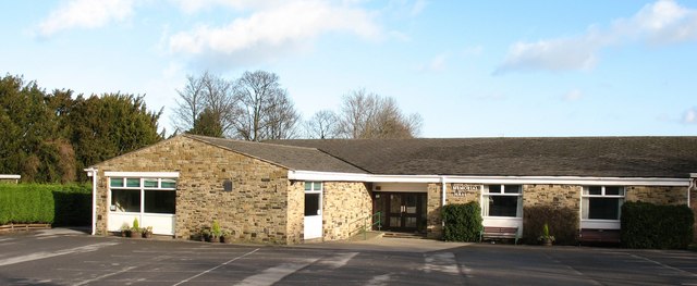
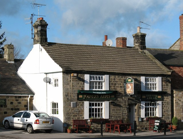
Hollybank Wood Images
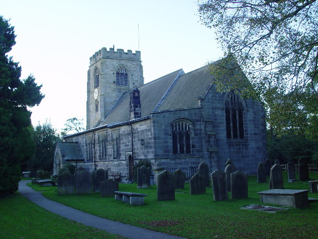
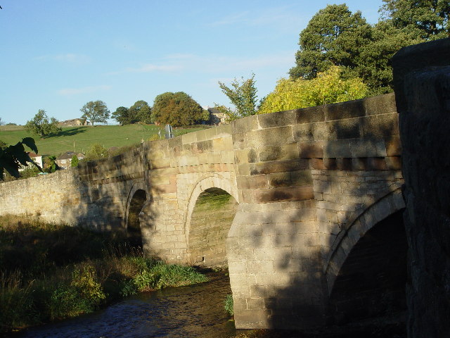
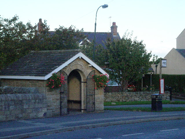
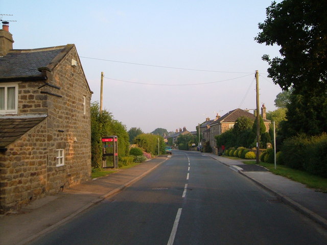
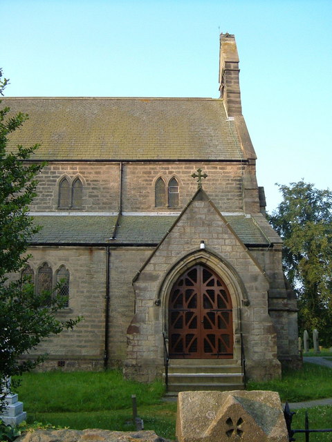
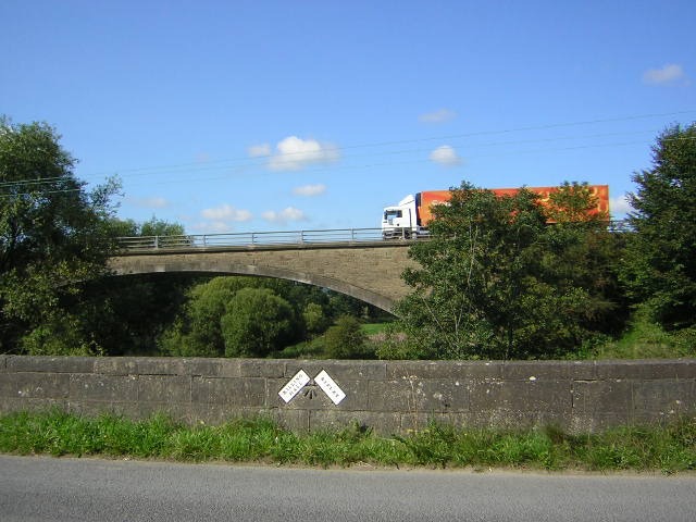
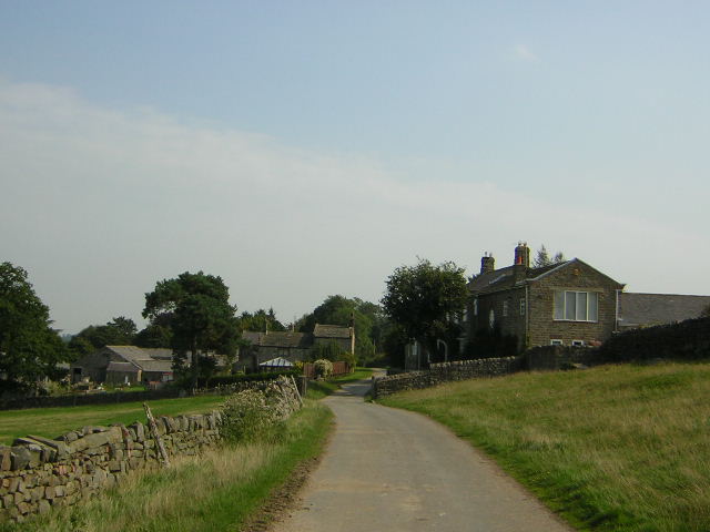
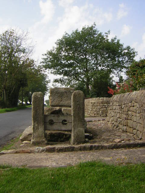
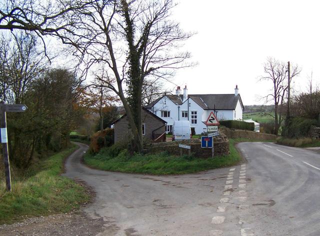
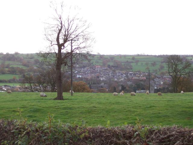
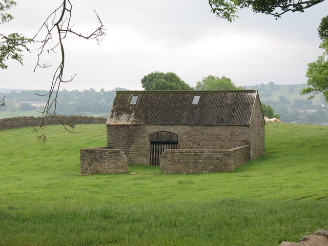
Images are sourced within 2km of 54.03388/-1.5867461 or Grid Reference SE2759. Thanks to Geograph Open Source API. All images are credited.


Hollybank Wood is located at Grid Ref: SE2759 (Lat: 54.03388, Lng: -1.5867461)
Division: West Riding
Administrative County: North Yorkshire
District: Harrogate
Police Authority: North Yorkshire
What 3 Words
///flows.expensive.ambushes. Near Harrogate, North Yorkshire
Nearby Locations
Related Wikis
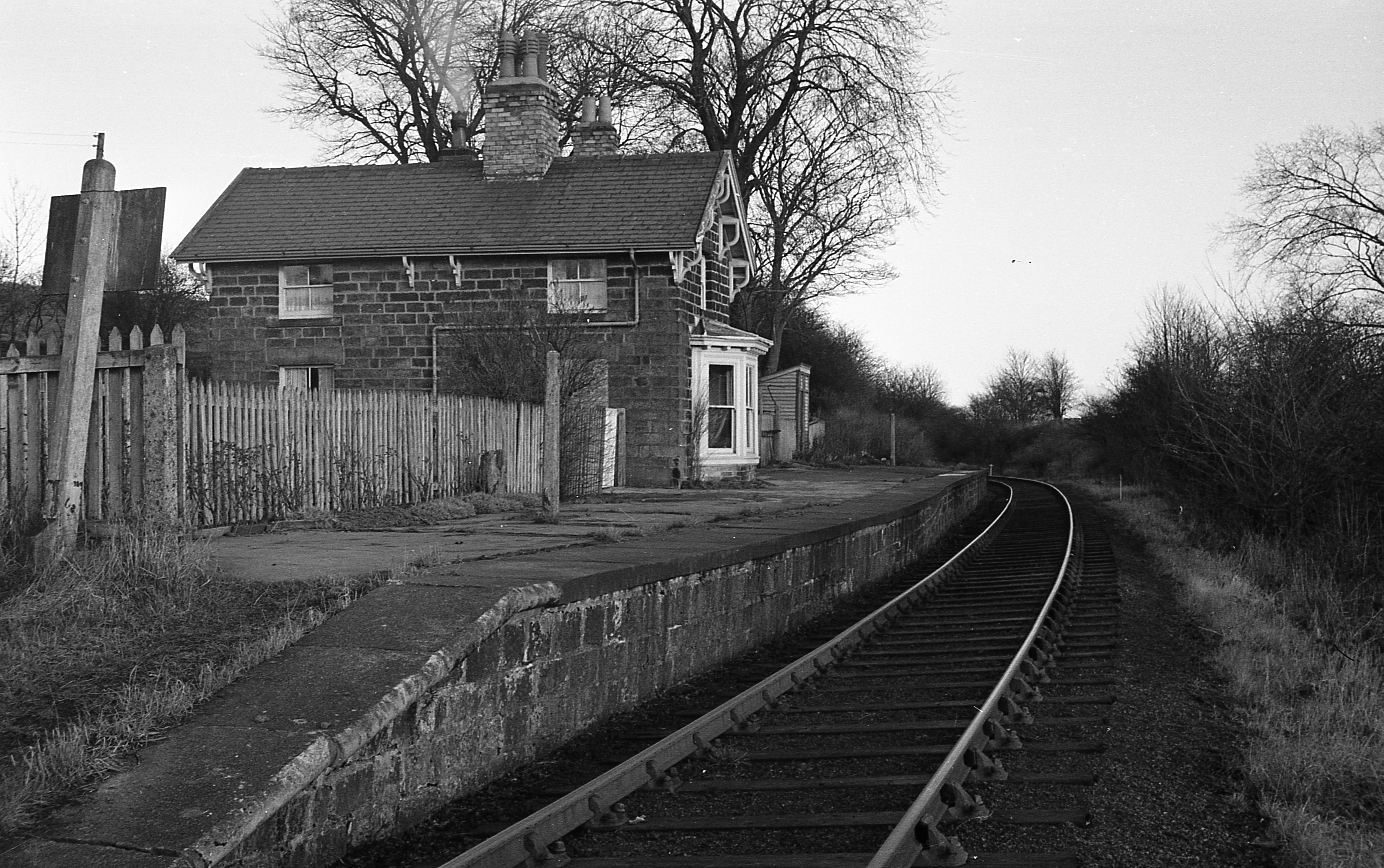
Hampsthwaite railway station
Hampsthwaite railway station served the village of Hampsthwaite, North Yorkshire, England from 1866 to 1950 on the Nidd Valley Railway. == History == The...
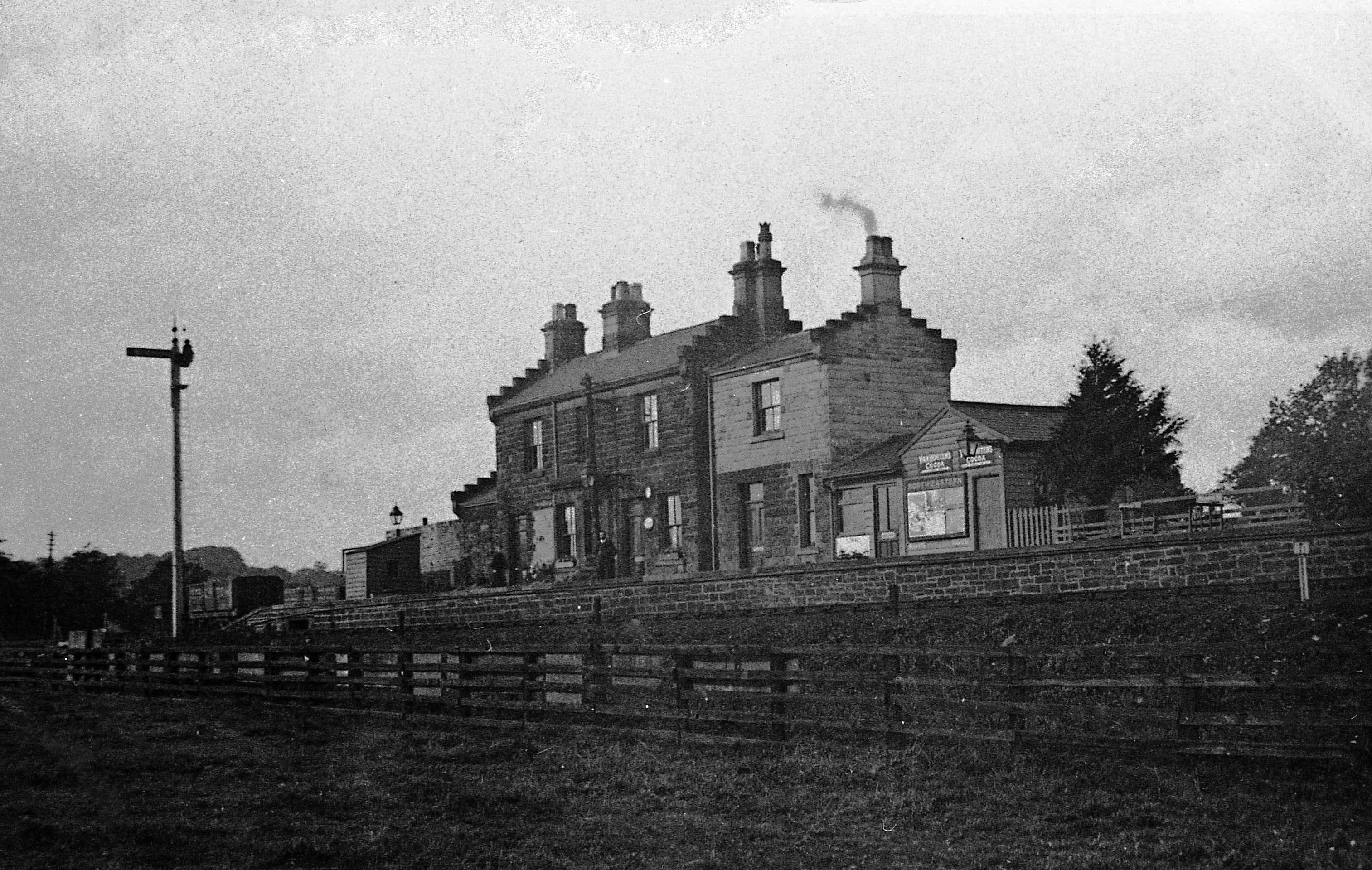
Ripley Valley railway station
Ripley Valley railway station served the villages of Killinghall and Ripley, North Yorkshire, England from 1862 to 1951 on the Nidd Valley Railway. �...

Ripley, North Yorkshire
Ripley is a town and civil parish in North Yorkshire in England, a few miles north of Harrogate on the A61 road towards Ripon. The town name derives from...

Ripley Castle
Ripley Castle is a Grade I listed 14th-century country house in Ripley, North Yorkshire, England, 3 miles (4.8 km) north of Harrogate.The house is built...
Nearby Amenities
Located within 500m of 54.03388,-1.5867461Have you been to Hollybank Wood?
Leave your review of Hollybank Wood below (or comments, questions and feedback).