Deeping St Nicholas
Settlement in Lincolnshire South Holland
England
Deeping St Nicholas
Deeping St Nicholas is a small village located in the South Holland district of Lincolnshire, England. Situated on the eastern bank of the River Welland, it is part of the civil parish of Deeping St Nicholas and the wider Deepings area.
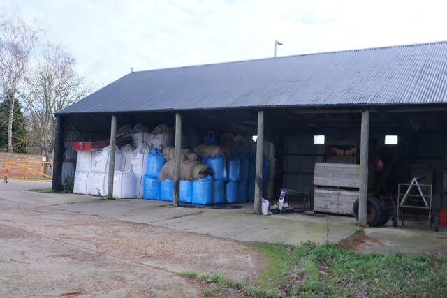
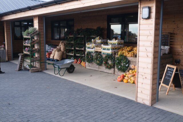
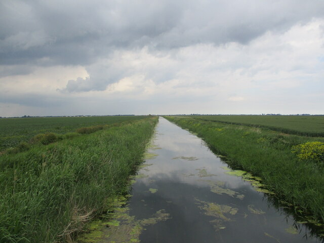
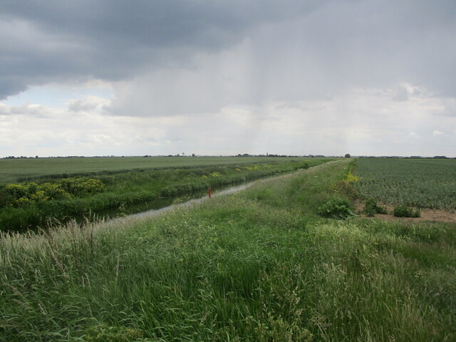
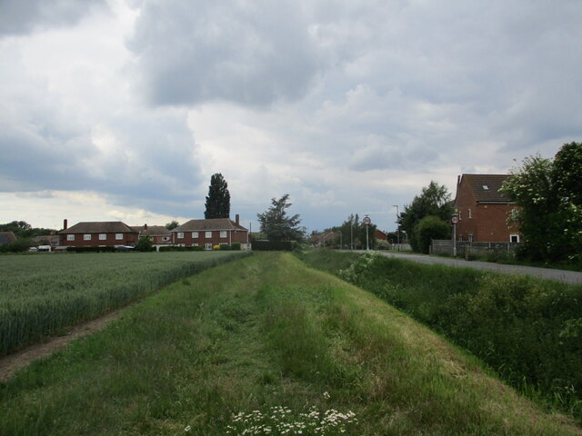
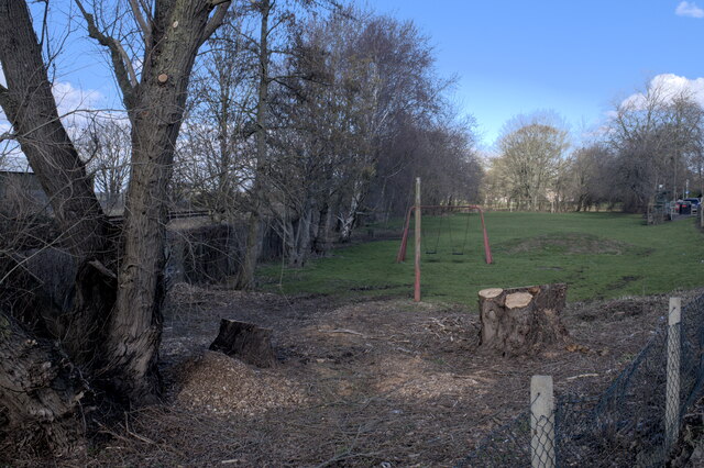
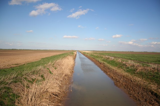
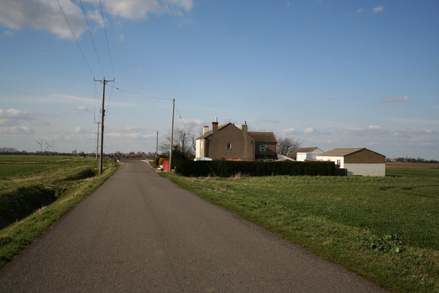
With a population of around 800 residents, Deeping St Nicholas is known for its picturesque rural setting and tranquil atmosphere. The village is surrounded by vast agricultural fields and meadows, which contribute to its idyllic charm. While primarily a residential area, there are several farms and agricultural businesses that play a significant role in the local economy.
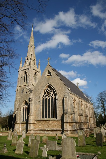
Deeping St Nicholas is home to the beautiful St Nicholas Church, a Grade I listed building that dates back to the 12th century. The church is a prominent landmark in the village and stands as a testament to its rich history and heritage. Additionally, the village has a small primary school, providing education for local children.
Despite its small size, Deeping St Nicholas benefits from its proximity to nearby towns and cities. The market town of Spalding is only a short drive away, offering a range of amenities and services. The village also enjoys good transportation links, with easy access to the A16 road, connecting it to other parts of Lincolnshire and beyond.
Overall, Deeping St Nicholas offers a peaceful and close-knit community, surrounded by natural beauty and a sense of history. It is a place where residents can enjoy the tranquility of rural life while still having access to the conveniences of larger towns nearby.
If you have any feedback on the listing, please let us know in the comments section below.
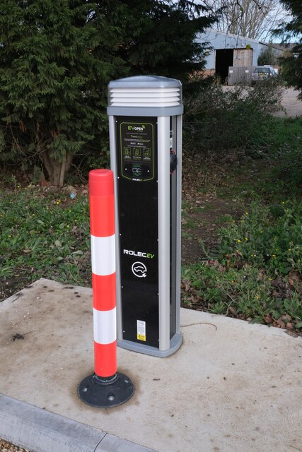
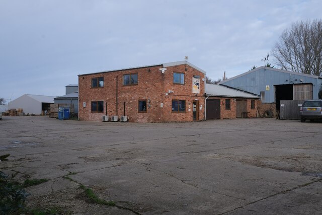
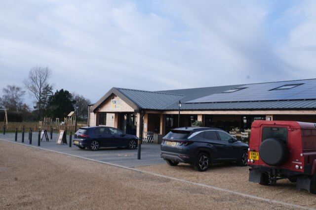
Deeping St Nicholas Images
Images are sourced within 2km of 52.722696/-0.20969326 or Grid Reference TF2115. Thanks to Geograph Open Source API. All images are credited.
Deeping St Nicholas is located at Grid Ref: TF2115 (Lat: 52.722696, Lng: -0.20969326)
Division: Parts of Holland
Administrative County: Lincolnshire
District: South Holland
Police Authority: Lincolnshire
What 3 Words
///hairstyle.uproot.starts. Near Cowbit, Lincolnshire
Nearby Locations
Related Wikis

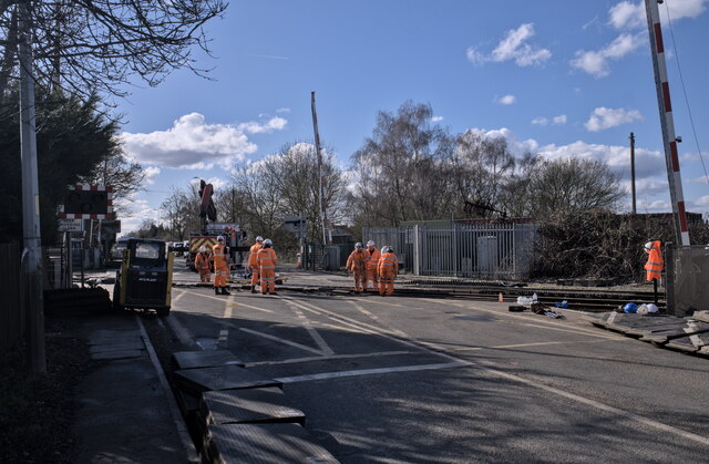
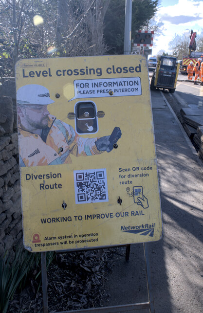
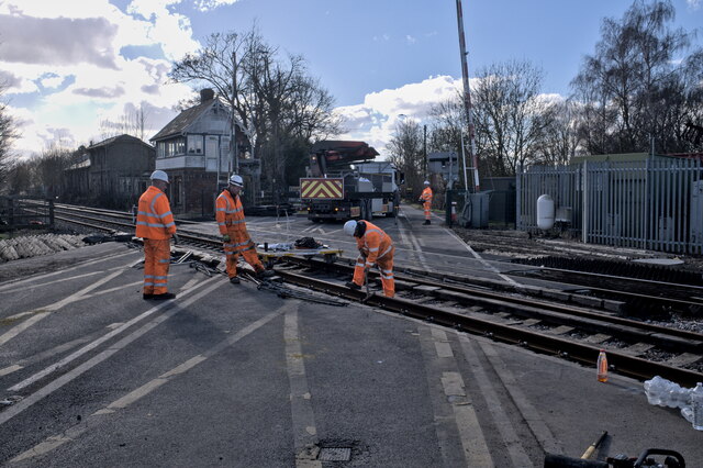
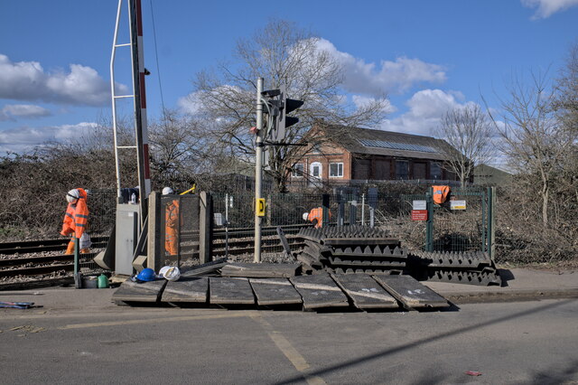
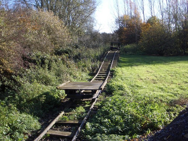
Littleworth railway station
Littleworth railway station is a former railway station in Deeping St Nicholas, Lincolnshire, on the Peterborough to Lincoln Line. It opened in 1848 and...

Deeping Fen
Deeping Fen is a low-lying area in the South Holland district of Lincolnshire, England, which covers approximately 47 square miles (120 km2). It is bounded...
Deeping St Nicholas
Deeping St Nicholas is a village in Lincolnshire, England, on the A1175 road between The Deepings and Spalding. Unlike Market Deeping, which is in South...

Hop Pole
Hop Pole is a hamlet in the South Holland district of Lincolnshire, England. It is situated between Deeping St James and Deeping St Nicholas, and on the...

South Holland District
South Holland is a local government district of Lincolnshire, England. The council is based in Spalding. Other notable towns and villages include Crowland...

Stowgate
Stowgate is a small settlement in the South Kesteven district of Lincolnshire, England. It is situated approximately 2 miles (3 km) north-east from Deeping...

Peak Hill, Lincolnshire
Peak Hill is a hamlet in the South Holland district of Lincolnshire, England. It is situated 4 miles (6 km) south from Spalding and 10 miles (16 km) north...

Cowbit
Cowbit (locally pronounced Cubbit) is a village and civil parish in the South Holland district of Lincolnshire, England. The population of the civil parish...
Nearby Amenities
Located within 500m of 52.722696,-0.20969326Have you been to Deeping St Nicholas?
Leave your review of Deeping St Nicholas below (or comments, questions and feedback).