Popple Light Copse
Wood, Forest in Wiltshire
England
Popple Light Copse
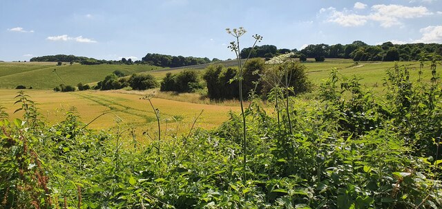
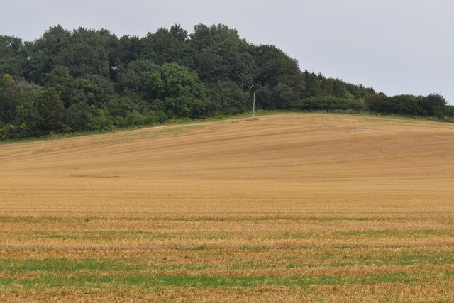
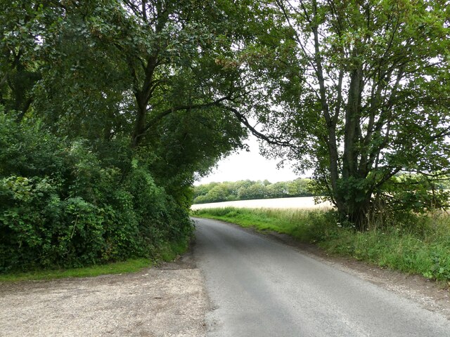
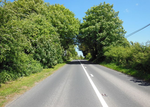
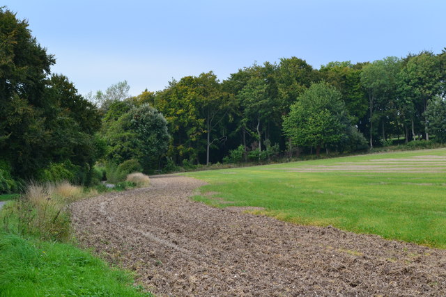
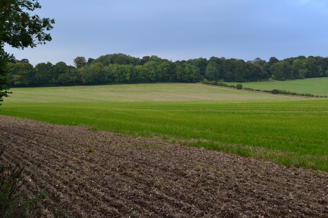
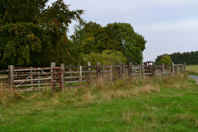
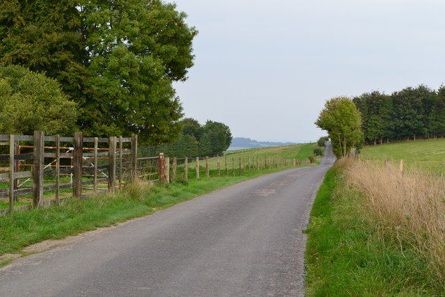
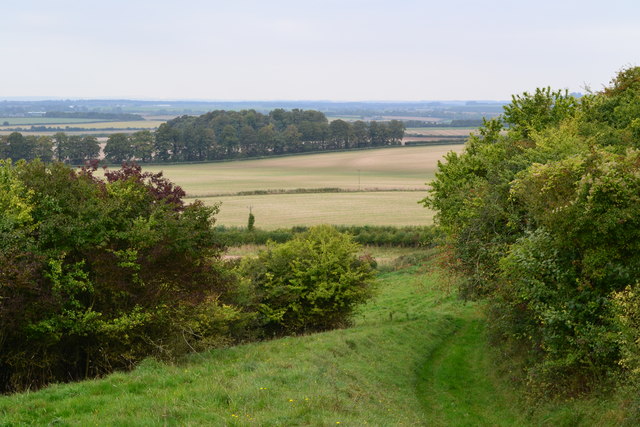
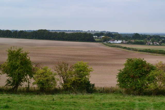
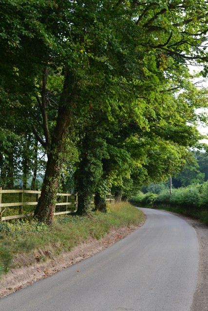
Popple Light Copse is a picturesque woodland located in the county of Wiltshire, England. This charming forest covers an area of approximately 50 acres and is known for its diverse flora and fauna, making it a popular destination for nature enthusiasts and hikers alike.
The woodland is predominantly made up of deciduous trees, including oak, beech, and birch, which create a vibrant canopy during the warmer months. The forest floor is covered in a thick layer of moss, ferns, and wildflowers, adding to the enchanting atmosphere of the copse. Bluebells and primroses are particularly abundant in the spring, creating a breathtaking carpet of color.
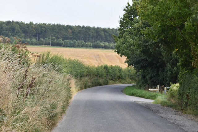
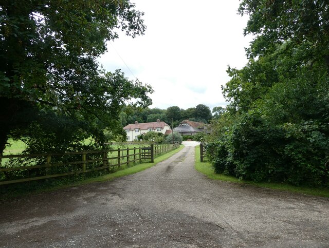
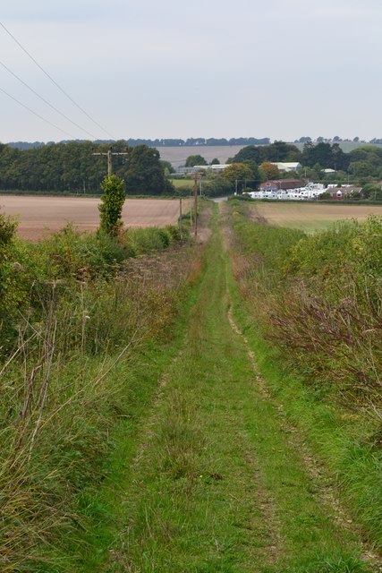
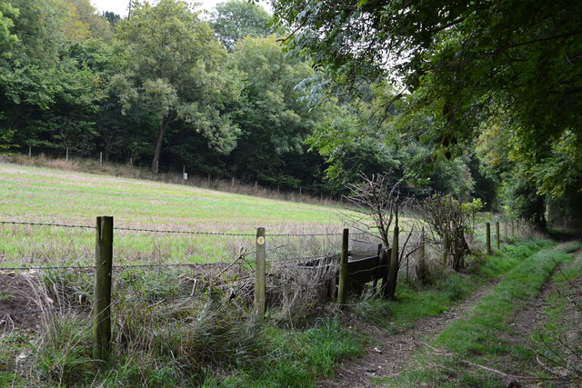
Popple Light Copse is crisscrossed by a network of paths and trails, allowing visitors to explore its beauty at their own pace. These paths lead to hidden clearings, babbling brooks, and small ponds, providing opportunities for wildlife spotting and peaceful reflection.
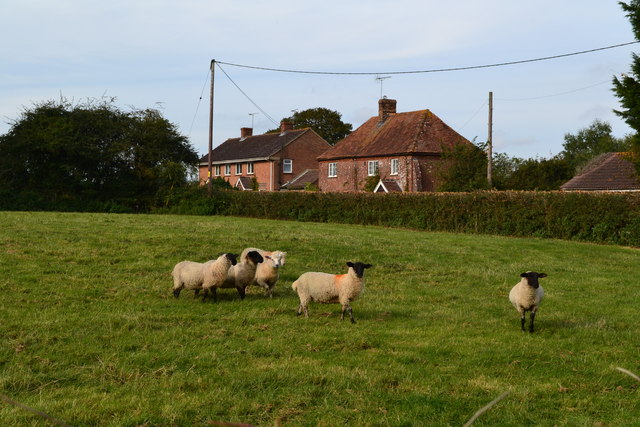
The copse is home to a variety of animal species, including deer, badgers, and foxes. Birdwatchers will also be delighted by the presence of woodpeckers, tits, and finches, among other species that inhabit the woodland.
Located just a short distance from the charming village of Lacock, Popple Light Copse offers a serene retreat away from the hustle and bustle of daily life. Its natural beauty and tranquil ambiance make it a perfect destination for a leisurely stroll, a family picnic, or simply to immerse oneself in nature's wonders.
If you have any feedback on the listing, please let us know in the comments section below.
Popple Light Copse Images
Images are sourced within 2km of 51.113827/-1.6311767 or Grid Reference SU2535. Thanks to Geograph Open Source API. All images are credited.
Popple Light Copse is located at Grid Ref: SU2535 (Lat: 51.113827, Lng: -1.6311767)
Unitary Authority: Wiltshire
Police Authority: Wiltshire
What 3 Words
///entitles.star.window. Near Middle Winterslow, Wiltshire
Nearby Locations
Related Wikis

Ashleys Copse
Ashley's Copse is the site of an Iron Age hillfort, about 8 miles (13 km) northeast of the city of Salisbury, England, straddling the border between the...
Winterslow Hut
Winterslow Hut was a late 17th-century coaching inn on the London to Exeter stagecoach route at Winterslow, Wiltshire, England. Its isolated location on...
Winterslow
Winterslow is a civil parish with a population of around 2,000, about 6 miles (10 km) northeast of Salisbury in Wiltshire, England, and lying south of...

Porton Down SSSI
Porton Down SSSI is a 1,559-hectare (3,850-acre) biological Site of Special Scientific Interest which spans the border between Hampshire and Wiltshire...

Buckholt, Hampshire
Buckholt is a hamlet and civil parish in the Test Valley district of Hampshire, England, close to the border with Wiltshire. According to the 2001 census...

Broughton Down
Broughton Down is a 45.8-hectare (113-acre) biological Site of Special Scientific Interest west of Broughton in Hampshire. The eastern half is a nature...
Middle Wallop
Middle Wallop is a village in the civil parish of Nether Wallop in Hampshire, England, on the A343 road. At the 2011 Census the population was included...
Over Wallop
Over Wallop is a small village and civil parish in the Test Valley district of Hampshire, England. The village lies close to the border with Wiltshire...
Nearby Amenities
Located within 500m of 51.113827,-1.6311767Have you been to Popple Light Copse?
Leave your review of Popple Light Copse below (or comments, questions and feedback).