Granby Wood
Wood, Forest in Derbyshire Derbyshire Dales
England
Granby Wood
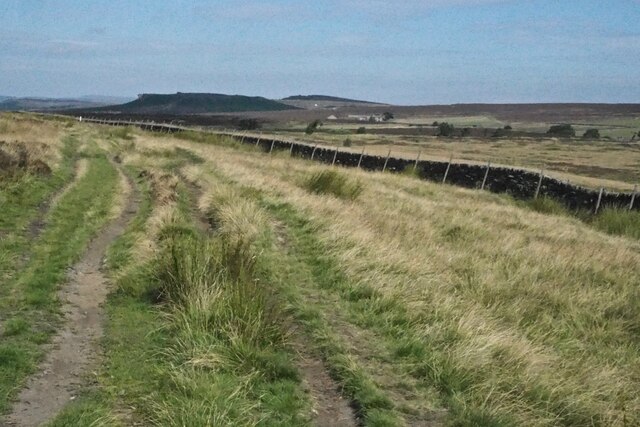
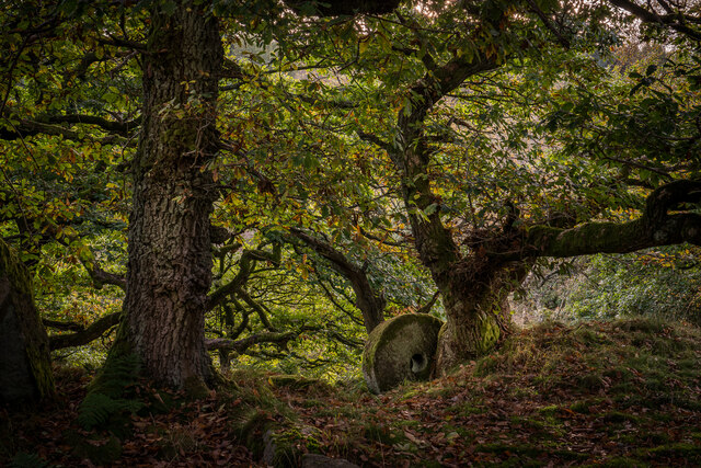
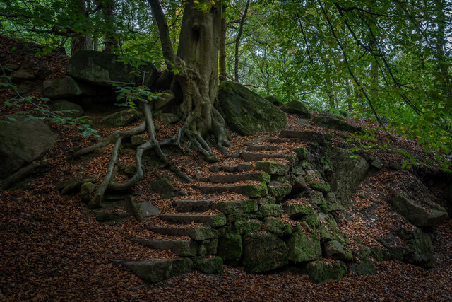
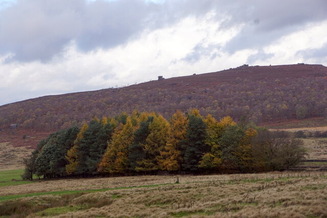
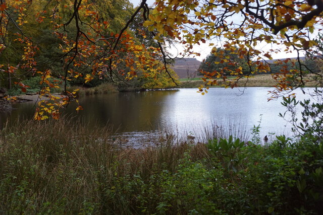
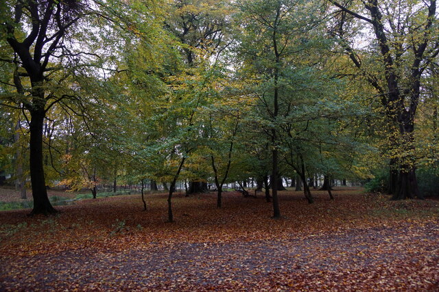
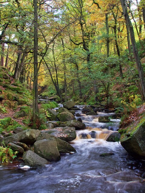
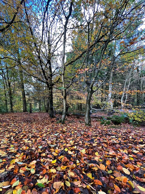
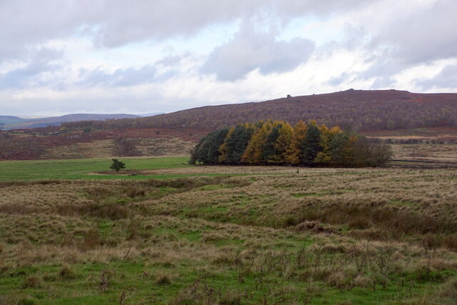
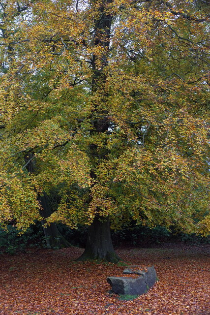
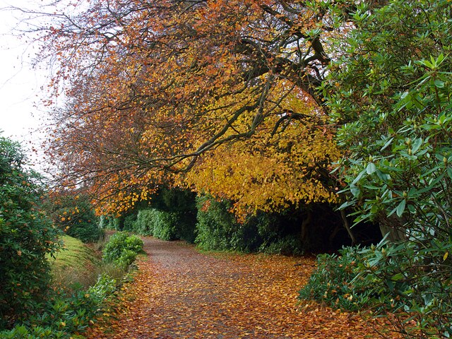
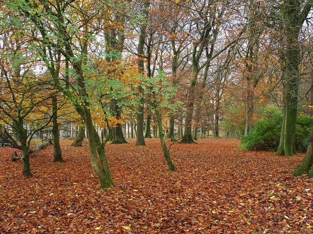
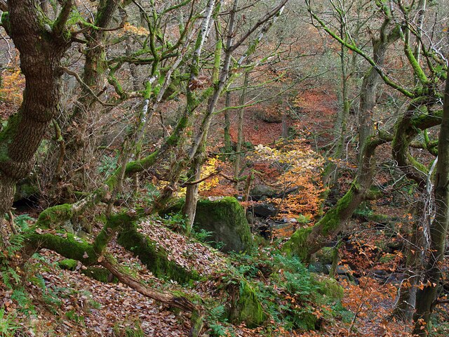
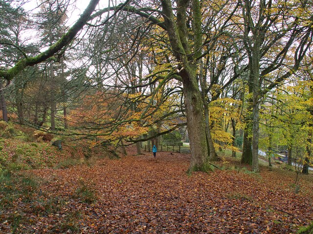
Granby Wood is a picturesque forest located in Derbyshire, England. Covering an area of approximately 500 acres, it is a haven for nature enthusiasts and offers a tranquil retreat from the hustle and bustle of urban life. The wood is predominantly made up of deciduous trees, including oak, birch, and ash, which create a stunning display of colors during the autumn months.
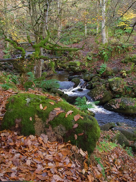
The wood is crisscrossed with a network of well-maintained footpaths, allowing visitors to explore its beauty at their own pace. These paths lead to various points of interest within the wood, such as a small lake where visitors can enjoy a peaceful picnic or observe the diverse wildlife that calls the wood home. From elusive deer to a wide array of bird species, Granby Wood offers ample opportunities for wildlife spotting.
In addition to its natural beauty, Granby Wood also holds historical significance. It is believed to have been part of the ancient Sherwood Forest, made famous by the legend of Robin Hood. The wood is dotted with remnants of old stone walls and boundary markers, providing a glimpse into its past.
Granby Wood is a popular destination for outdoor activities such as walking, jogging, and birdwatching. The serene atmosphere and breathtaking scenery make it a perfect spot for those seeking solace in nature. Whether visiting for a leisurely stroll or a more adventurous hike, Granby Wood offers a truly enchanting experience for all who venture within its boundaries.
If you have any feedback on the listing, please let us know in the comments section below.
Granby Wood Images
Images are sourced within 2km of 53.313426/-1.6125094 or Grid Reference SK2579. Thanks to Geograph Open Source API. All images are credited.

Granby Wood is located at Grid Ref: SK2579 (Lat: 53.313426, Lng: -1.6125094)
Administrative County: Derbyshire
District: Derbyshire Dales
Police Authority: Derbyshire
What 3 Words
///rail.backed.during. Near Hathersage, Derbyshire
Nearby Locations
Related Wikis

Longshaw Estate
Longshaw Estate is an area of moorland, woodland and farmland within the Peak District National Park in Derbyshire, England. The name of Longshaw is thought...

Hathersage Road (Sheffield)
Hathersage Road is a road in Sheffield South Yorkshire, England and Derbyshire. It leads south-west from the suburb of Whirlow over the border between...

Padley Gorge
Padley Gorge is a deep but narrow valley in the Peak District, Derbyshire between the village of Grindleford and the A6187 road. The gorge is wooded with...
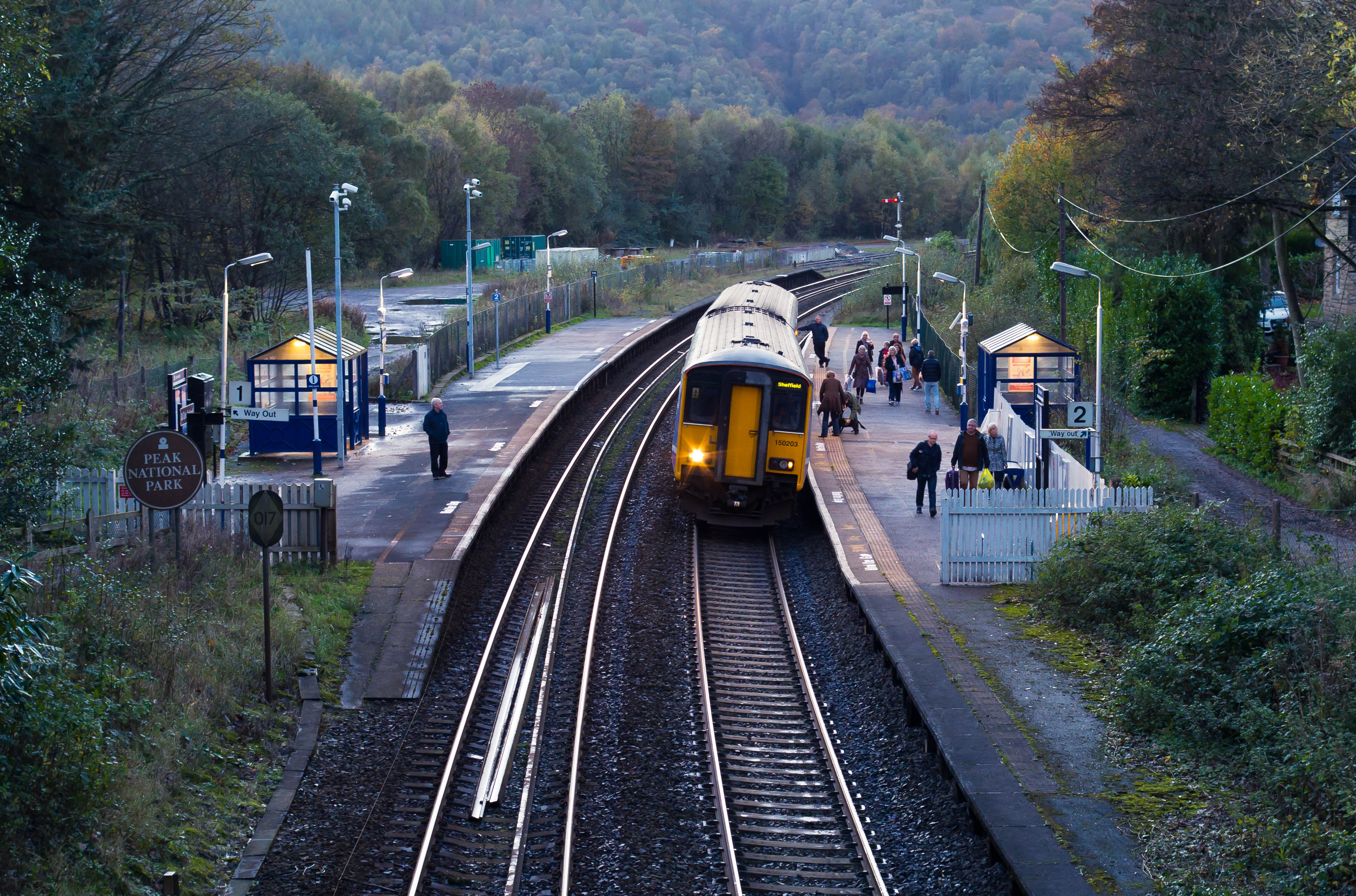
Grindleford railway station
Grindleford railway station serves the village of Grindleford in the Derbyshire Peak District, in England, although the station is about a mile way, the...

Master's Edge
Master's Edge is an 18-metre (59 ft) gritstone arête that is a rock climbing route in the "Corners Area" of Millstone Edge quarry, in the Peak District...

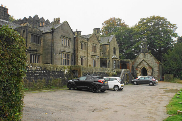
Padley Hall
Padley Hall (or Padley Manor) was an Elizabethan great house overlooking the River Derwent near Grindleford, Derbyshire, England. The remains of the hall...

Padley Chapel
Padley Chapel is a building in Grindleford, England, on the site of the former Padley Hall (or Padley Manor). It is a Grade I listed building. == Padley... ==

Fox House, South Yorkshire
Fox House is a 17th-century Grade-II listed Inn, located near the Longshaw Estate in the Peak District, near the border between South Yorkshire and Derbyshire...
Nearby Amenities
Located within 500m of 53.313426,-1.6125094Have you been to Granby Wood?
Leave your review of Granby Wood below (or comments, questions and feedback).