Ramshill Copse
Wood, Forest in Wiltshire
England
Ramshill Copse
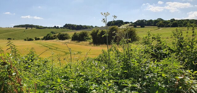
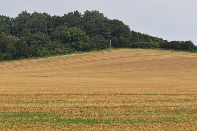
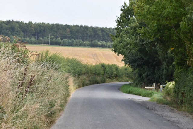
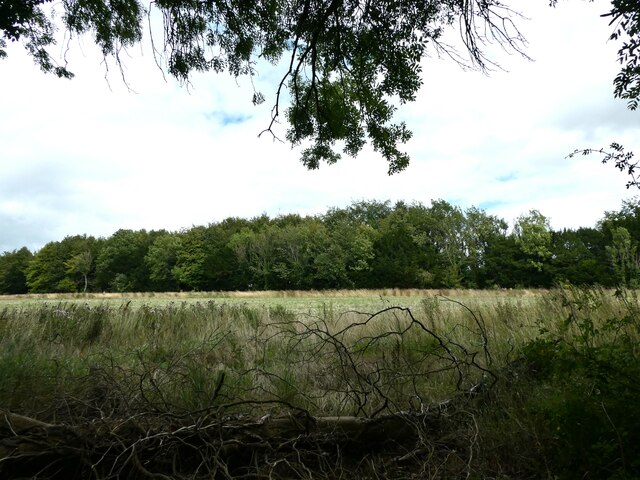
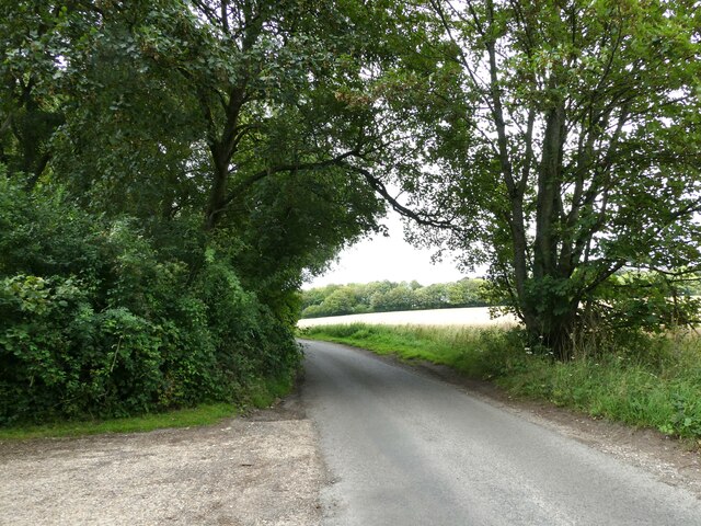
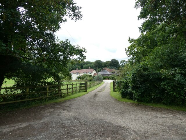
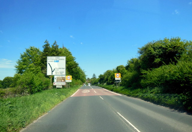
Ramshill Copse is a picturesque wood located in the county of Wiltshire, England. Covering an area of approximately 50 acres, this enchanting forest is a haven of tranquility and natural beauty. Situated near the village of Aldbourne, Ramshill Copse is easily accessible and attracts visitors throughout the year.
The copse is predominantly composed of broadleaf trees, including oak, beech, and ash, which create a dense canopy that filters sunlight, casting dappled shadows on the forest floor. The woodland is also home to a diverse array of native flora and fauna, making it a hotspot for nature enthusiasts and wildlife lovers.
A network of well-maintained trails meanders through Ramshill Copse, allowing visitors to explore the wood at their own pace. These paths wind through ancient woodland, where moss-covered tree trunks and fallen logs provide a perfect habitat for various woodland creatures, such as squirrels, badgers, and birds.
Ramshill Copse is not only a place of natural beauty but also of historical significance. The wood has been documented as a site of human habitation since the Iron Age, and remnants of ancient settlements can still be found within its boundaries. Archaeological surveys have revealed the presence of earthworks, pottery fragments, and other artifacts, providing valuable insights into the area's past.
Whether you are seeking a peaceful stroll, a chance to observe wildlife, or a glimpse into Wiltshire's history, Ramshill Copse offers a captivating experience for all who venture into its leafy embrace.
If you have any feedback on the listing, please let us know in the comments section below.
Ramshill Copse Images
Images are sourced within 2km of 51.105213/-1.6312881 or Grid Reference SU2534. Thanks to Geograph Open Source API. All images are credited.


Ramshill Copse is located at Grid Ref: SU2534 (Lat: 51.105213, Lng: -1.6312881)
Unitary Authority: Wiltshire
Police Authority: Wiltshire
What 3 Words
///resurgent.perfected.scout. Near Middle Winterslow, Wiltshire
Nearby Locations
Related Wikis

Ashleys Copse
Ashley's Copse is the site of an Iron Age hillfort, about 8 miles (13 km) northeast of the city of Salisbury, England, straddling the border between the...
Winterslow
Winterslow is a civil parish with a population of around 2,000, about 6 miles (10 km) northeast of Salisbury in Wiltshire, England, and lying south of...

Buckholt, Hampshire
Buckholt is a hamlet and civil parish in the Test Valley district of Hampshire, England, close to the border with Wiltshire. According to the 2001 census...
Winterslow Hut
Winterslow Hut was a late 17th-century coaching inn on the London to Exeter stagecoach route at Winterslow, Wiltshire, England. Its isolated location on...

Broughton Down
Broughton Down is a 45.8-hectare (113-acre) biological Site of Special Scientific Interest west of Broughton in Hampshire. The eastern half is a nature...

Porton Down SSSI
Porton Down SSSI is a 1,559-hectare (3,850-acre) biological Site of Special Scientific Interest which spans the border between Hampshire and Wiltshire...

West Tytherley
West Tytherley is a village and civil parish in the Test Valley district of Hampshire, England. Its nearest town is Stockbridge, which lies approximately...
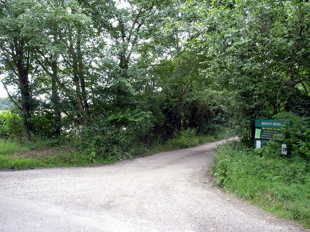
Bentley Wood
Bentley Wood (grid reference SU250295), together with the adjacent Blackmoor Copse, form one of the largest contiguous areas of woodland in Wiltshire,...
Nearby Amenities
Located within 500m of 51.105213,-1.6312881Have you been to Ramshill Copse?
Leave your review of Ramshill Copse below (or comments, questions and feedback).