Dial Wood
Wood, Forest in Yorkshire
England
Dial Wood
Dial Wood, located in Yorkshire, England, is an enchanting forest known for its natural beauty and serene atmosphere. Spread over a vast area, this woodland is a haven for nature enthusiasts and those seeking tranquility away from the hustle and bustle of city life.
The wood is home to a diverse range of flora and fauna, with ancient oak and beech trees dominating the landscape. The dense canopy provides a sheltered environment for a multitude of wildlife species, including deer, foxes, badgers, and a variety of bird species. Nature enthusiasts can revel in the opportunity to observe and appreciate these creatures in their natural habitat.
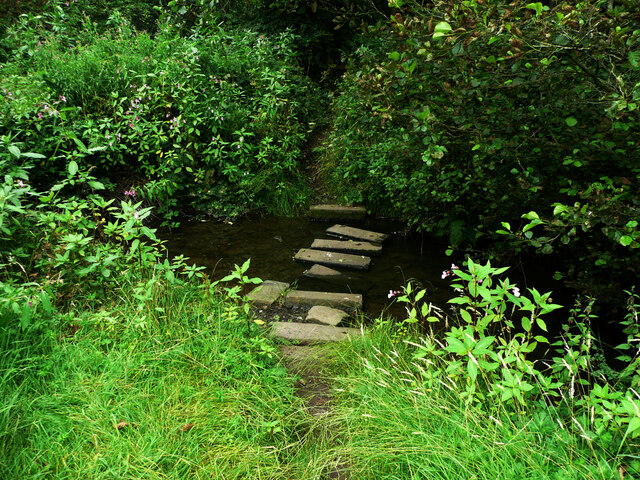
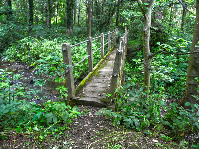
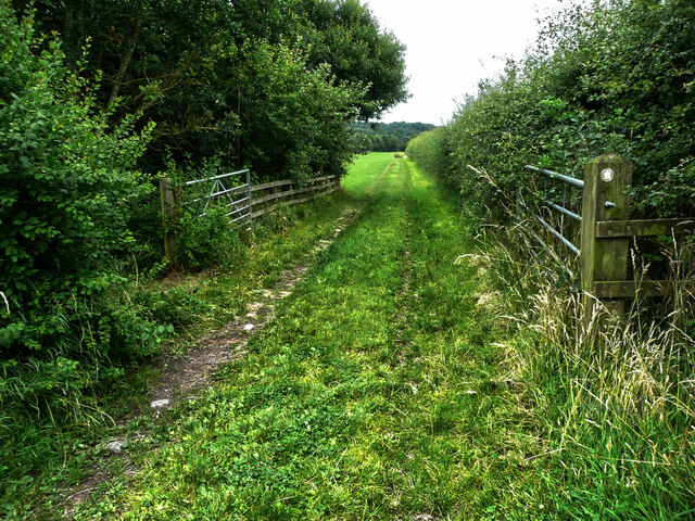
Visitors to Dial Wood can embark on scenic walks along the well-maintained trails that meander through the forest. The pathways are surrounded by vibrant wildflowers and ferns, further enhancing the visual appeal of the woodland. Additionally, there are picnic areas dotted throughout the wood, allowing visitors to pause and revel in the peaceful surroundings.
The wood is also of historical significance, with remnants of an ancient settlement dating back to the Iron Age. Archaeological excavations have uncovered artifacts and evidence of human occupation, providing insights into the region's past.
Dial Wood, with its picturesque landscape and rich biodiversity, offers an idyllic retreat for nature lovers and those seeking a break from the urban landscape. Its serene ambiance and stunning natural beauty make it a must-visit destination for anyone exploring the Yorkshire region.
If you have any feedback on the listing, please let us know in the comments section below.
Dial Wood Images
Images are sourced within 2km of 53.634486/-1.6095606 or Grid Reference SE2515. Thanks to Geograph Open Source API. All images are credited.


Dial Wood is located at Grid Ref: SE2515 (Lat: 53.634486, Lng: -1.6095606)
Division: West Riding
Unitary Authority: Wakefield
Police Authority: West Yorkshire
What 3 Words
///pegs.award.nods. Near Middlestown, West Yorkshire
Nearby Locations
Related Wikis

HM Prison New Hall
HMP New Hall. is a closed-category prison for female adults, juveniles, and young offenders. The prison is located in the village of Flockton (near Wakefield...
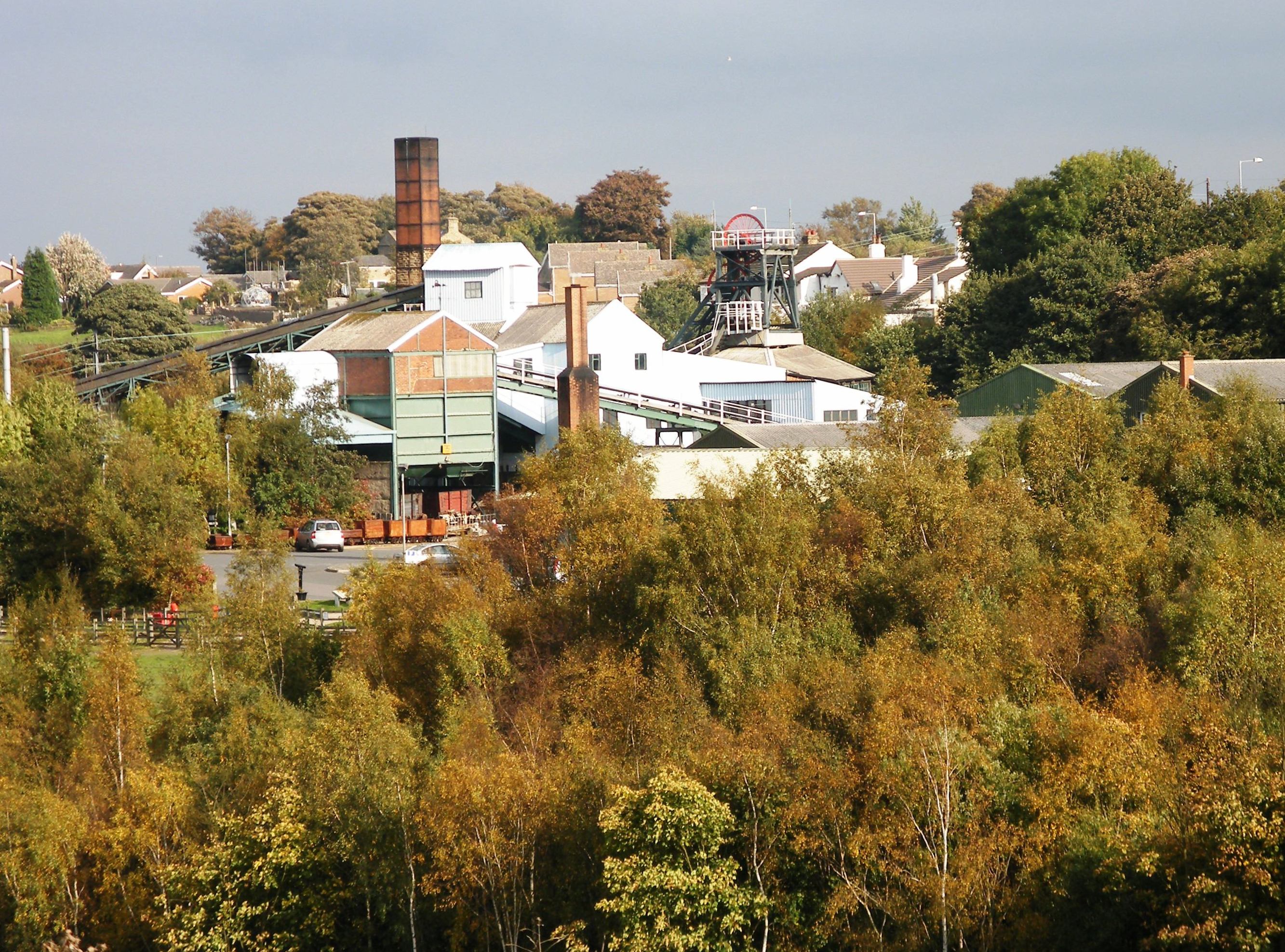
Caphouse Colliery
Caphouse Colliery, originally known as Overton Colliery, was a coal mine in Overton, near Wakefield, West Yorkshire, England. It was situated on the Denby...
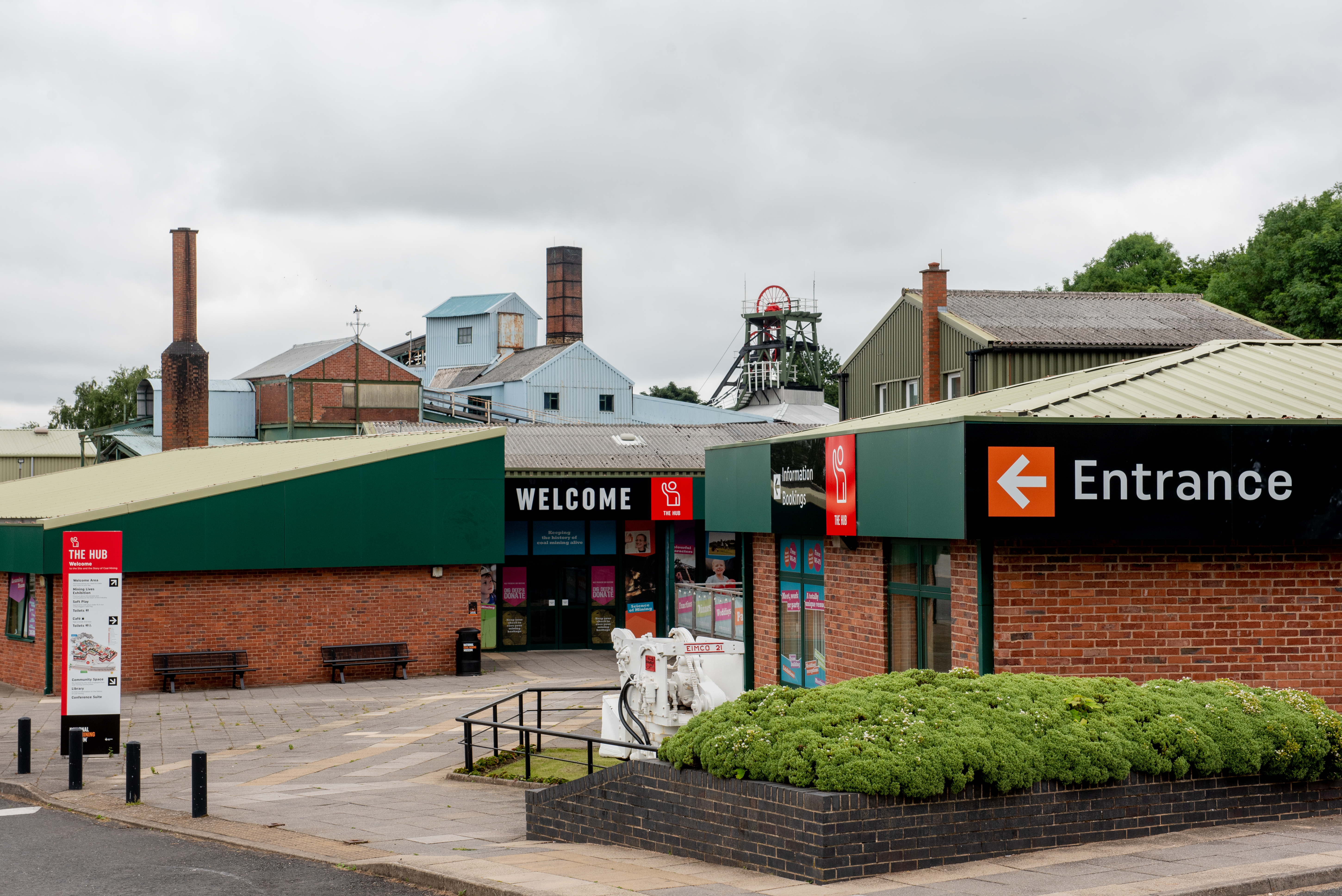
National Coal Mining Museum for England
The National Coal Mining Museum for England is based at the site of Caphouse Colliery in Overton, Wakefield, West Yorkshire, England. It opened in 1988...
Overton, West Yorkshire
Overton is a village between Wakefield and Huddersfield in West Yorkshire, England. The village is situated approximately 5.5 miles (9 km) south-west of...
Nearby Amenities
Located within 500m of 53.634486,-1.6095606Have you been to Dial Wood?
Leave your review of Dial Wood below (or comments, questions and feedback).