Wood Plantation

Wood, Forest in Warwickshire North Warwickshire

England

Wood Plantation

Railtour near Daw Mill West Coast Railway Class 33 No. 33025 brings up the rear of a Steam Dreams railtour to Worcester from London Euston.  The train is passing the site of the former Daw Mill colliery which closed in 2013 after a fire.
Railtour near Daw Mill Credit: Bob Walters

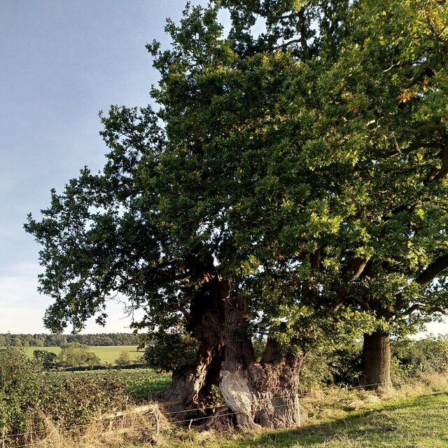
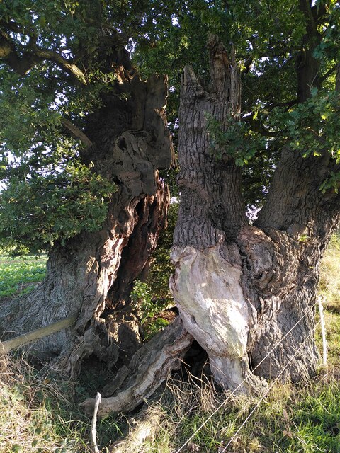
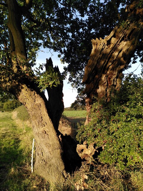
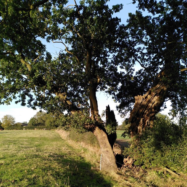
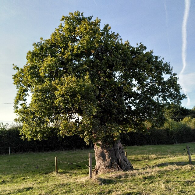
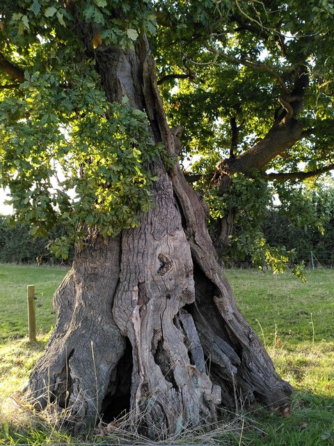
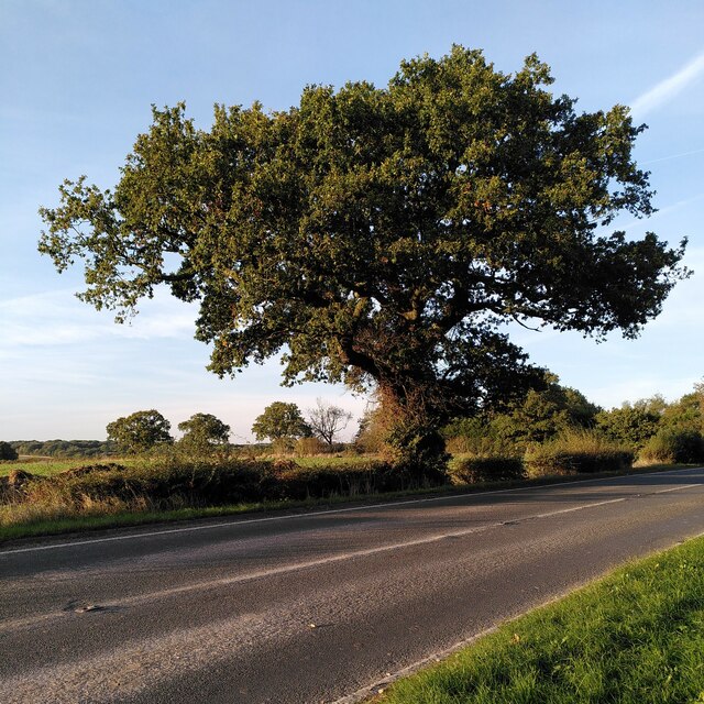
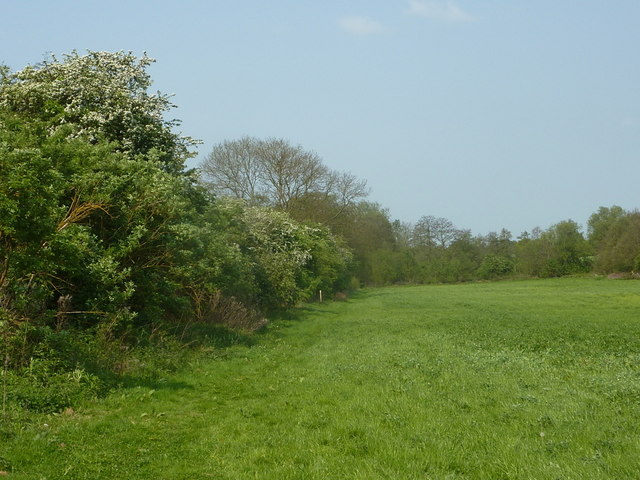
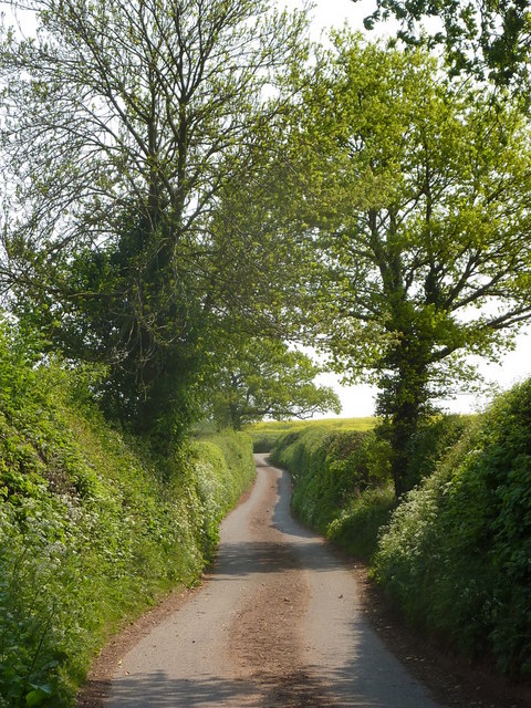
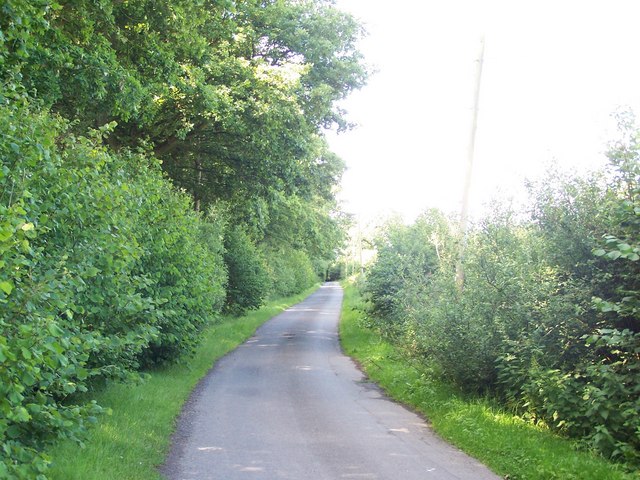
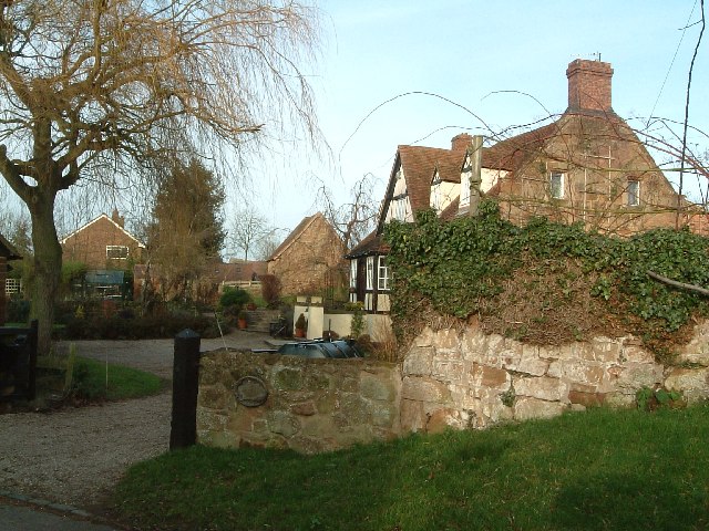
Wood Plantation, located in Warwickshire, is a picturesque forested area that spans approximately 100 acres in size. It is a popular destination for nature enthusiasts, hikers, and birdwatchers alike. The plantation is characterized by its dense and diverse woodland, consisting primarily of mature trees such as oak, ash, and beech.

The forest is known for its tranquil atmosphere and stunning natural beauty, attracting visitors throughout the year. Its well-maintained trails offer a variety of walking and cycling opportunities, allowing visitors to explore the area at their own pace. The plantation is also home to a wide range of wildlife, including deer, rabbits, and a variety of bird species, making it a haven for nature lovers.

Wood Plantation is managed by the local forestry commission, ensuring its preservation and conservation for future generations. The commission implements sustainable forestry practices, maintaining a delicate balance between human activities and the environment. This approach not only protects the natural habitat but also supports the local economy through responsible timber production and recreational activities.

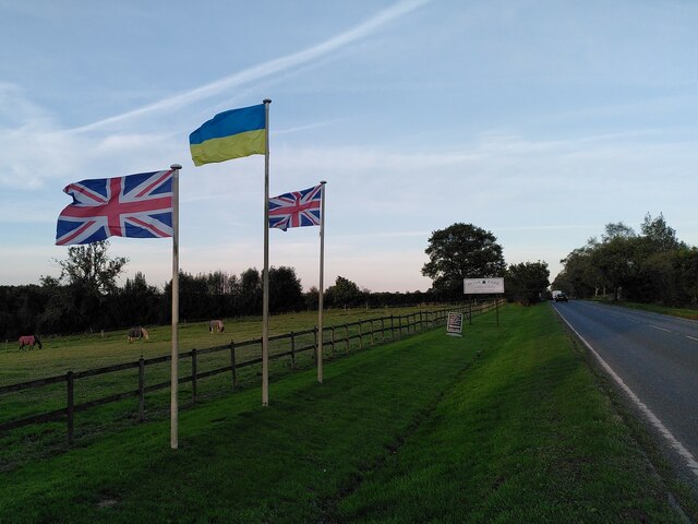
The plantation is easily accessible, with parking facilities available for visitors. Additionally, there are picnic areas and benches scattered throughout the forest, providing a perfect spot for relaxation and appreciating the surroundings. Interpretive signs are strategically placed to educate visitors about the flora and fauna found in the area, enhancing the overall experience.

Overall, Wood Plantation in Warwickshire offers a serene and immersive natural experience, allowing visitors to escape the hustle and bustle of daily life and connect with the beauty of the forest.

If you have any feedback on the listing, please let us know in the comments section below.

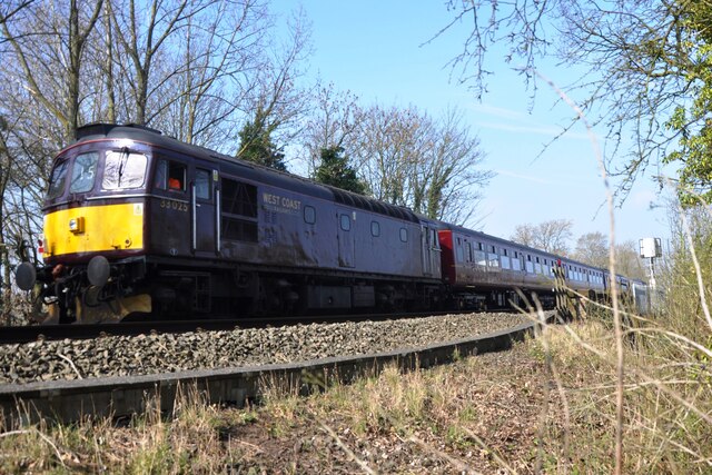
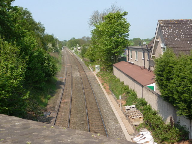
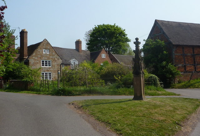
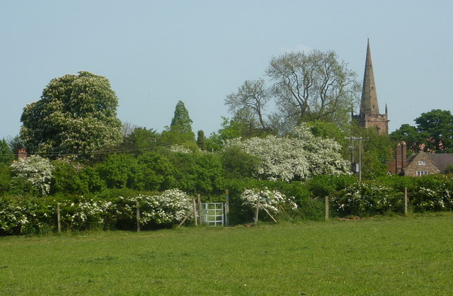
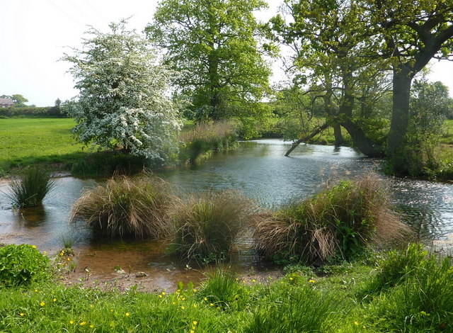
Wood Plantation Images

Images are sourced within 2km of 52.5174/-1.6205767 or Grid Reference SP2591. Thanks to Geograph Open Source API. All images are credited.

Railtour near Daw Mill West Coast Railway Class 33 No. 33025 brings up the rear of a Steam Dreams railtour to Worcester from London Euston.  The train is passing the site of the former Daw Mill colliery which closed in 2013 after a fire.
Railtour near Daw Mill
West Coast Railway Class 33 No. 33025 brings up the rear of a Steam Dreams railtour to Worcester from London Euston. The train is passing the site of the former Daw Mill colliery which closed in 2013 after a fire.
The Monwode Oak, Monwode Lea This remarkable ancient oak has hollowed and split into two halves, which continue to grow. The tree stands at a field boundary by a public footpath; a boundary fence runs between its two halves. It is overshadowed by a larger, younger oak. The old oak is listed by the Woodland Trust Ancient Tree Inventory as an ancient tree, a pedunculate oak (Quercus robur), 9.32m in girth at a height of 1.4m <span class="nowrap"><a title="https://ati.woodlandtrust.org.uk/tree-search/tree?treeid=224522&from=3523&v=2395484&ml=map&z=16&nwLat=52.521221154191636&nwLng=-1.6090820501422698&seLat=52.514287713370464&seLng=-1.6001985738849456#/" rel="nofollow ugc noopener" href="https://ati.woodlandtrust.org.uk/tree-search/tree?treeid=224522&from=3523&v=2395484&ml=map&z=16&nwLat=52.521221154191636&nwLng=-1.6090820501422698&seLat=52.514287713370464&seLng=-1.6001985738849456#/">Link</a><img style="margin-left:2px;" alt="External link" title="External link - shift click to open in new window" src="https://s1.geograph.org.uk/img/external.png" width="10" height="10"/></span> . Steven Falk has also written about this tree; estimating its age is difficult as so many growth rings are missing, but on the evidence of its girth he believes it may be more than 900 years old. See his The Veteran Trees of Warwickshire <span class="nowrap"><a title="https://www.researchgate.net/publication/349330488_The_Veteran_Trees_of_Warwickshire" rel="nofollow ugc noopener" href="https://www.researchgate.net/publication/349330488_The_Veteran_Trees_of_Warwickshire">Link</a><img style="margin-left:2px;" alt="External link" title="External link - shift click to open in new window" src="https://s1.geograph.org.uk/img/external.png" width="10" height="10"/></span> .
The Monwode Oak, Monwode Lea
This remarkable ancient oak has hollowed and split into two halves, which continue to grow. The tree stands at a field boundary by a public footpath; a boundary fence runs between its two halves. It is overshadowed by a larger, younger oak. The old oak is listed by the Woodland Trust Ancient Tree Inventory as an ancient tree, a pedunculate oak (Quercus robur), 9.32m in girth at a height of 1.4m LinkExternal link . Steven Falk has also written about this tree; estimating its age is difficult as so many growth rings are missing, but on the evidence of its girth he believes it may be more than 900 years old. See his The Veteran Trees of Warwickshire LinkExternal link .
Trunk of an ancient split oak, Monwode Lea This is a close-up of the once hollow, now fully split trunk or bole of the Monwode Oak, with a fence passing through it. For more information, and and a fuller view, see <a href="https://www.geograph.org.uk/photo/7632512">SP2691 : The Monwode Oak, Monwode Lea</a>.
Trunk of an ancient split oak, Monwode Lea
This is a close-up of the once hollow, now fully split trunk or bole of the Monwode Oak, with a fence passing through it. For more information, and and a fuller view, see SP2691 : The Monwode Oak, Monwode Lea.
A tree of two halves: the Monwode Oak This ancient split oak, with a field boundary fence passing through it, is seen here from the south, with the late afternoon sun falling on it in mid-October. For more information on this remarkable tree, see <a href="https://www.geograph.org.uk/photo/7632512">SP2691 : The Monwode Oak, Monwode Lea</a>.
A tree of two halves: the Monwode Oak
This ancient split oak, with a field boundary fence passing through it, is seen here from the south, with the late afternoon sun falling on it in mid-October. For more information on this remarkable tree, see SP2691 : The Monwode Oak, Monwode Lea.
The Monwode Oak, viewed from the south This ancient, hollowed out, and now split oak straddles the field boundary. The foliage of its younger neighbour overhangs it at the top left. Monwode Lea Farm and some of its cattle can be seen in the distance. A public footpath crossed the field; there is a stile a short way beyond the tree. 

For more information about this ancient oak, see <a href="https://www.geograph.org.uk/photo/7632512">SP2691 : The Monwode Oak, Monwode Lea</a>, which links to its page on the Ancient Tree Inventory of the Woodland Trust and to Steven Falk's study of the Veteran Trees of Warwickshire. This is one of two oaks he has found in the county with a girth of more than 9 metres. The other is 'Shakespeare's Oak' in the park of Stoneleigh Abbey, which is more intact and much better known, but is not near a public right of way. Judging from their girth, he thinks both may be over 900 years old.
The Monwode Oak, viewed from the south
This ancient, hollowed out, and now split oak straddles the field boundary. The foliage of its younger neighbour overhangs it at the top left. Monwode Lea Farm and some of its cattle can be seen in the distance. A public footpath crossed the field; there is a stile a short way beyond the tree. For more information about this ancient oak, see SP2691 : The Monwode Oak, Monwode Lea, which links to its page on the Ancient Tree Inventory of the Woodland Trust and to Steven Falk's study of the Veteran Trees of Warwickshire. This is one of two oaks he has found in the county with a girth of more than 9 metres. The other is 'Shakespeare's Oak' in the park of Stoneleigh Abbey, which is more intact and much better known, but is not near a public right of way. Judging from their girth, he thinks both may be over 900 years old.
Ancient oak tree, Monwode Lea This is a younger neighbour of the venerable Monwode oak tree <a href="https://www.geograph.org.uk/photo/7632512">SP2691 : The Monwode Oak, Monwode Lea</a>, and stands a short distance away in the same field, which is crossed by a public footpath. 'Younger' for an oak, that is; it is perhaps three or four hundred years old, judging from the girth of 5.6m (at a height of 1.2m, according to the Woodland Trust Ancient Tree Inventory) and the ready reckoner cited by Steven Falk. Its crown is much reduced in size. See its page at the Ancient Tree Inventory <span class="nowrap"><a title="https://ati.woodlandtrust.org.uk/tree-search/tree?treeid=224518&from=3523&v=2395484&ml=map&z=16&nwLat=52.52312719545651&nwLng=-1.609124965486508&seLat=52.51619405544825&seLng=-1.6002414892291839#/" rel="nofollow ugc noopener" href="https://ati.woodlandtrust.org.uk/tree-search/tree?treeid=224518&from=3523&v=2395484&ml=map&z=16&nwLat=52.52312719545651&nwLng=-1.609124965486508&seLat=52.51619405544825&seLng=-1.6002414892291839#/">Link</a><img style="margin-left:2px;" alt="External link" title="External link - shift click to open in new window" src="https://s1.geograph.org.uk/img/external.png" width="10" height="10"/></span> and Falk's The Veteran Trees of Warwickshire <span class="nowrap"><a title="https://www.researchgate.net/publication/349330488_The_Veteran_Trees_of_Warwickshire" rel="nofollow ugc noopener" href="https://www.researchgate.net/publication/349330488_The_Veteran_Trees_of_Warwickshire">Link</a><img style="margin-left:2px;" alt="External link" title="External link - shift click to open in new window" src="https://s1.geograph.org.uk/img/external.png" width="10" height="10"/></span>. It is a pedunculate oak, Quercus robur.
Ancient oak tree, Monwode Lea
This is a younger neighbour of the venerable Monwode oak tree SP2691 : The Monwode Oak, Monwode Lea, and stands a short distance away in the same field, which is crossed by a public footpath. 'Younger' for an oak, that is; it is perhaps three or four hundred years old, judging from the girth of 5.6m (at a height of 1.2m, according to the Woodland Trust Ancient Tree Inventory) and the ready reckoner cited by Steven Falk. Its crown is much reduced in size. See its page at the Ancient Tree Inventory LinkExternal link and Falk's The Veteran Trees of Warwickshire LinkExternal link. It is a pedunculate oak, Quercus robur.
Trunk of an ancient oak, Monwode Lea This is a close-up of the pedunculate oak described at <a href="https://www.geograph.org.uk/photo/7633187">SP2691 : Ancient oak tree, Monwode Lea</a>, which in turn links to its page on the Ancient Tree Inventory of the Woodland Trust.
Trunk of an ancient oak, Monwode Lea
This is a close-up of the pedunculate oak described at SP2691 : Ancient oak tree, Monwode Lea, which in turn links to its page on the Ancient Tree Inventory of the Woodland Trust.
The Monwode Lea chimney Standing alone in a field, this chimney is the only surviving part of a house built around 1600. It is a Grade II listed building, listed 'for group value', perhaps because a similar chimney survives in a nearby farmhouse in Over Whitacre. The listing can be seen at the Historic England site <span class="nowrap"><a title="https://historicengland.org.uk/listing/the-list/list-entry/1115600?section=official-list-entry" rel="nofollow ugc noopener" href="https://historicengland.org.uk/listing/the-list/list-entry/1115600?section=official-list-entry">Link</a><img style="margin-left:2px;" alt="External link" title="External link - shift click to open in new window" src="https://s1.geograph.org.uk/img/external.png" width="10" height="10"/></span> .

The chimney shares the field with two ancient oak trees. One can be seen in the background, on the left in a group of three trees, with a younger oak and an ash to the right; see <a href="https://www.geograph.org.uk/photo/7632512">SP2691 : The Monwode Oak, Monwode Lea</a>. Behind them, on the horizon, extends Arley Wood: a distinctively Warwickshire Arden scene.

The chimney appears in an early Geograph from 2006, <a href="https://www.geograph.org.uk/photo/108569">SP2691 : A lonely chimney</a>.
The Monwode Lea chimney
Standing alone in a field, this chimney is the only surviving part of a house built around 1600. It is a Grade II listed building, listed 'for group value', perhaps because a similar chimney survives in a nearby farmhouse in Over Whitacre. The listing can be seen at the Historic England site LinkExternal link . The chimney shares the field with two ancient oak trees. One can be seen in the background, on the left in a group of three trees, with a younger oak and an ash to the right; see SP2691 : The Monwode Oak, Monwode Lea. Behind them, on the horizon, extends Arley Wood: a distinctively Warwickshire Arden scene. The chimney appears in an early Geograph from 2006, SP2691 : A lonely chimney.
Oak tree by the roadside, Monwode Lea This fine oak is growing beside the B4114. The wood visible in the distance is Hoar Park.
Oak tree by the roadside, Monwode Lea
This fine oak is growing beside the B4114. The wood visible in the distance is Hoar Park.
Flags by Nuneaton Road, Hoar Park Farm British solidarity with Ukraine is on display outside the entrance to the craft centre at Hoar Park Farm.
Flags by Nuneaton Road, Hoar Park Farm
British solidarity with Ukraine is on display outside the entrance to the craft centre at Hoar Park Farm.
Meadow by the railway line The footpath crosses fields towards the Shustoke reservoirs.
Meadow by the railway line
The footpath crosses fields towards the Shustoke reservoirs.
Church at Church End from the north View from the B4114 near the railway bridge, zoom shot. Looking across a gridline.
Church at Church End from the north
View from the B4114 near the railway bridge, zoom shot. Looking across a gridline.
Railway line passing between Furnace End and Church End Looking west from the B4114 bridge.
Railway line passing between Furnace End and Church End
Looking west from the B4114 bridge.
Village scene, Church End, Shustoke Part of an attractive group of houses near the church, with a distinctive stone memorial in the little green island at the lane junction.
Village scene, Church End, Shustoke
Part of an attractive group of houses near the church, with a distinctive stone memorial in the little green island at the lane junction.
Path towards Church End Across the fields on a springtime walk, with the church showing among the hedges and trees.
Path towards Church End
Across the fields on a springtime walk, with the church showing among the hedges and trees.
Pond by countryside footpath The pond is marked on the 1:25,000 map. By the footpath designated the Heart of England Way.
Pond by countryside footpath
The pond is marked on the 1:25,000 map. By the footpath designated the Heart of England Way.
Moat House Lane The eastern end of a tiny country lane near Shustoke.
Moat House Lane
The eastern end of a tiny country lane near Shustoke.
Wood Lane from first bend SSW
Show me another place!

Wood Plantation is located at Grid Ref: SP2591 (Lat: 52.5174, Lng: -1.6205767)

Administrative County: Warwickshire

District: North Warwickshire

Police Authority: Warwickshire

What 3 Words

///quieter.cringes.bribing. Near Kingsbury, Warwickshire

Related Wikis

Over Whitacre

Over Whitacre is a village containing the hamlets of Botts Green, Furnace End and Monwode Lea in North Warwickshire, Warwickshire, England. The population...

Furnace End

Furnace End is a large hamlet in the civil parish of Over Whitacre, and in the North Warwickshire district of Warwickshire, England. It is on the B4114...
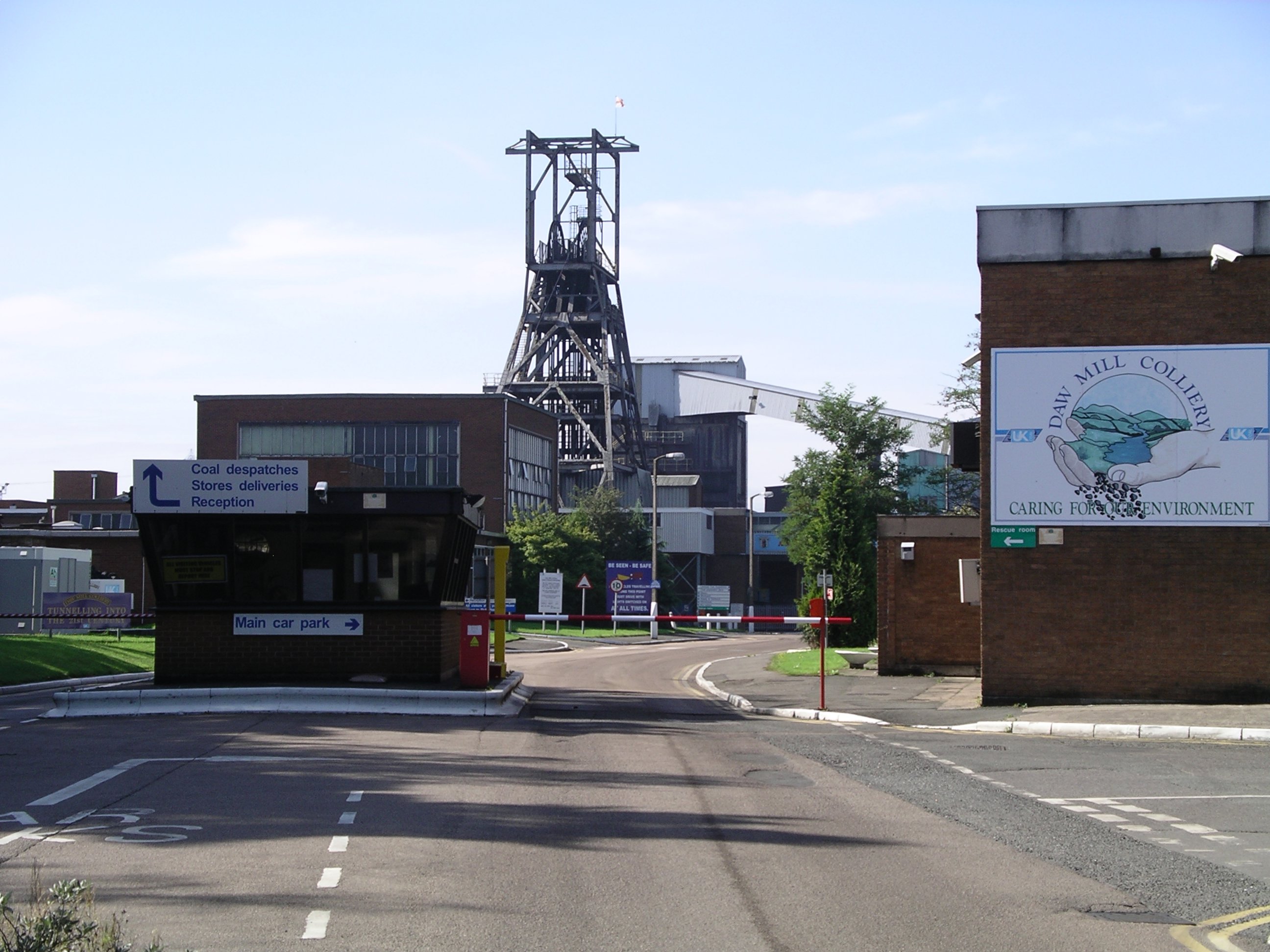
Daw Mill

Daw Mill was a coal mine located near the village of Arley, near Nuneaton, in the English county of Warwickshire. The mine was Britain's biggest coal producer...

Shustoke railway station

Shustoke was a railway station on what is now the Birmingham to Peterborough Line between Whitacre Junction (now closed) and Arley and Fillongley (also...

Ballard's Green

Ballard's Green is a village in Warwickshire, England. Population details may be found under Over Whitacre.

Botts Green

Botts Green is a hamlet and green in the North Warwickshire district of the county of Warwickshire in England. It is located close to Whitacre Heath, Coleshill...

Old Arley

Old Arley is a village in the civil parish of Arley, in the north of Warwickshire, England, 5.5 miles (8.9 km) west of Nuneaton and 10 miles (16 km) north...
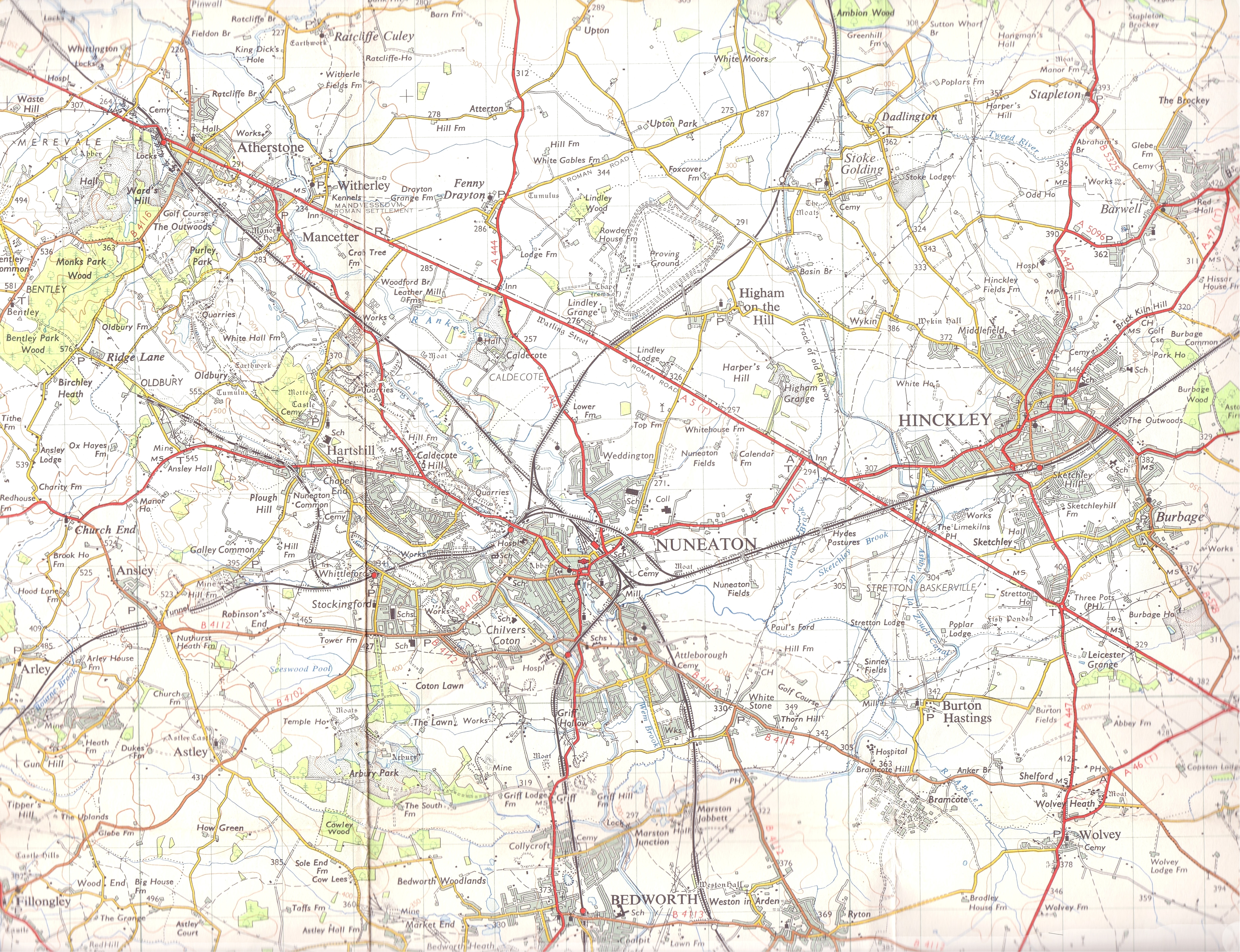
Arley, Warwickshire

Arley is a civil parish in the North Warwickshire district of Warwickshire, England. The parish includes two settlements, New Arley and Old Arley. Old...

Nearby Amenities

Located within 500m of 52.5174,-1.6205767
Post Box
Ele: 119.5687256
Ref: B46 68
Lat/Long: 52.5173116/-1.6269703
Over Whitacre
Place: hamlet
Wikidata: Q2040362
Wikipedia: en:Over Whitacre
Lat/Long: 52.5165794/-1.6274715
Barrier: kissing_gate
Source: survey
Lat/Long: 52.5158215/-1.6191775
Barrier: kissing_gate
Source: survey
Lat/Long: 52.5158132/-1.6153389
Barrier: kissing_gate
Source: survey
Lat/Long: 52.5172014/-1.6231385
Barrier: stile
Source: survey
Lat/Long: 52.5145984/-1.6248836
Fire Hydrant
Emergency: fire_hydrant
Fire Hydrant Type: underground
Source: survey
Lat/Long: 52.5176719/-1.6276878
Power: transformer
Source: visual survey;estimate
Lat/Long: 52.5171757/-1.6278273
Bus Stop
Bench: no
Bin: no
Bus: yes
Public Transport: platform
Shelter: no
Source: survey
Tactile Paving: no
Lat/Long: 52.5136868/-1.6231535
The data included in this document is from www.openstreetmap.org. The data is made available under ODbL.

Have you been to Wood Plantation?

Leave your review of Wood Plantation below (or comments, questions and feedback).