Over Whitacre

Civil Parish in Warwickshire North Warwickshire

England

Over Whitacre

The Monwode Oak, Monwode Lea This remarkable ancient oak has hollowed and split into two halves, which continue to grow. The tree stands at a field boundary by a public footpath; a boundary fence runs between its two halves. It is overshadowed by a larger, younger oak. The old oak is listed by the Woodland Trust Ancient Tree Inventory as an ancient tree, a pedunculate oak (Quercus robur), 9.32m in girth at a height of 1.4m <span class="nowrap"><a title="https://ati.woodlandtrust.org.uk/tree-search/tree?treeid=224522&from=3523&v=2395484&ml=map&z=16&nwLat=52.521221154191636&nwLng=-1.6090820501422698&seLat=52.514287713370464&seLng=-1.6001985738849456#/" rel="nofollow ugc noopener" href="https://ati.woodlandtrust.org.uk/tree-search/tree?treeid=224522&from=3523&v=2395484&ml=map&z=16&nwLat=52.521221154191636&nwLng=-1.6090820501422698&seLat=52.514287713370464&seLng=-1.6001985738849456#/">Link</a><img style="margin-left:2px;" alt="External link" title="External link - shift click to open in new window" src="https://s1.geograph.org.uk/img/external.png" width="10" height="10"/></span> . Steven Falk has also written about this tree; estimating its age is difficult as so many growth rings are missing, but on the evidence of its girth he believes it may be more than 900 years old. See his The Veteran Trees of Warwickshire <span class="nowrap"><a title="https://www.researchgate.net/publication/349330488_The_Veteran_Trees_of_Warwickshire" rel="nofollow ugc noopener" href="https://www.researchgate.net/publication/349330488_The_Veteran_Trees_of_Warwickshire">Link</a><img style="margin-left:2px;" alt="External link" title="External link - shift click to open in new window" src="https://s1.geograph.org.uk/img/external.png" width="10" height="10"/></span> .
The Monwode Oak, Monwode Lea Credit: A J Paxton

Over Whitacre is a civil parish located in the county of Warwickshire, England. Situated approximately 15 miles east of Birmingham, the parish covers an area of around 9.5 square kilometers. The village of Over Whitacre itself is a small, rural settlement with a population of just over 400 residents.

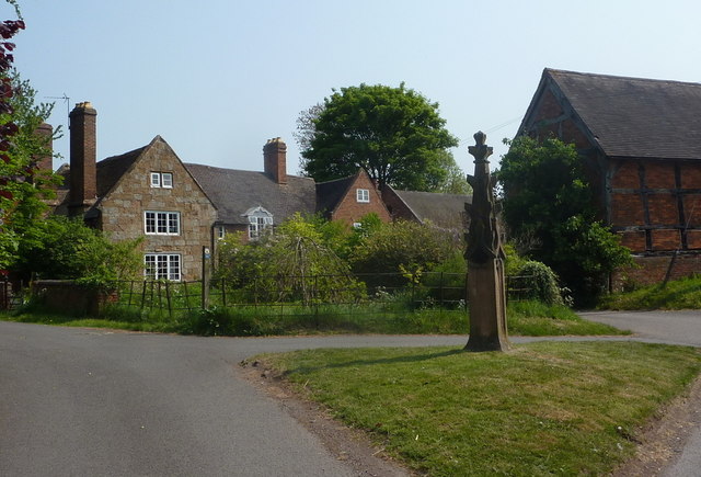
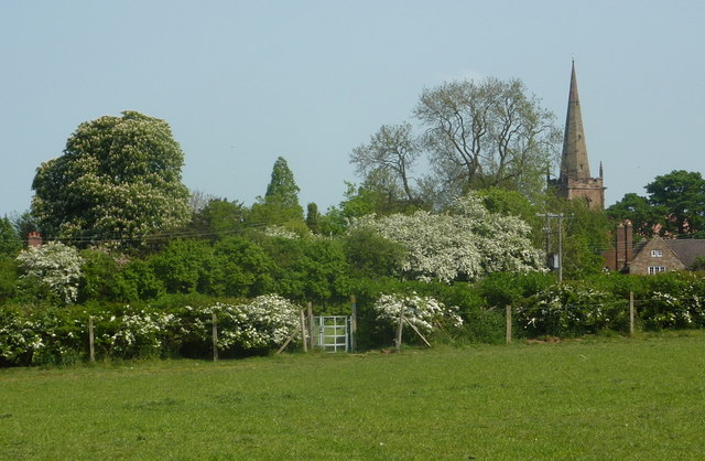
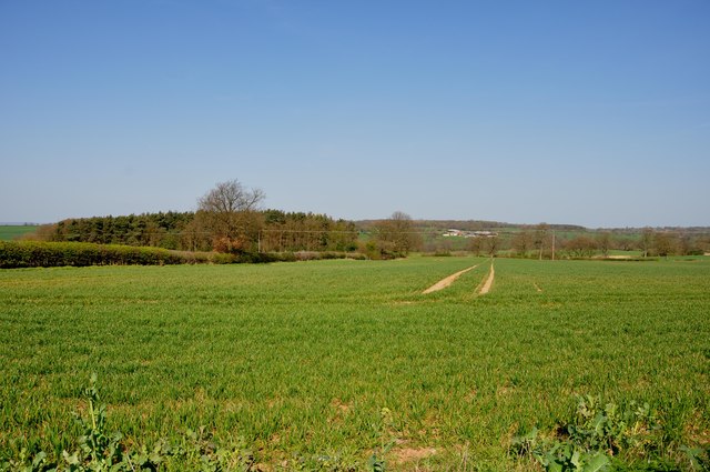
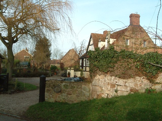
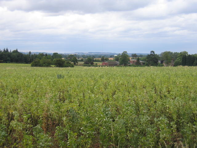
The village is characterized by its charming countryside setting, surrounded by rolling hills and farmland. It is predominantly residential, with a mix of traditional cottages and more modern houses. The parish also includes a number of farms and agricultural land, contributing to the area's rural character.

Over Whitacre is known for its strong community spirit, with several local organizations and clubs that bring residents together. The village has a primary school, providing education for the local children. The nearby towns of Coleshill and Tamworth offer additional amenities and services, including secondary schools, shops, and healthcare facilities.

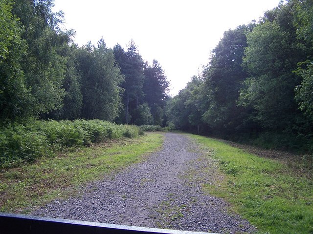
The parish is rich in natural beauty, with various walking and cycling trails that allow residents and visitors to explore the picturesque countryside. The area is also home to several wildlife habitats, including woodlands and fields, providing opportunities for nature enthusiasts.

Overall, Over Whitacre offers a peaceful and idyllic lifestyle for its residents, with a strong sense of community and a close connection to nature. Its convenient location, within easy reach of larger towns and cities, makes it an attractive place for those seeking a rural retreat while still having access to urban amenities.

If you have any feedback on the listing, please let us know in the comments section below.

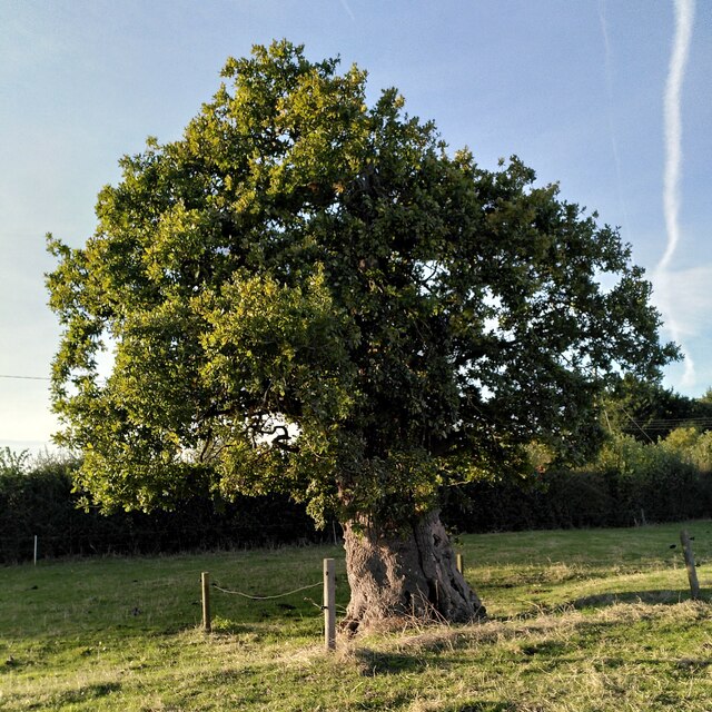
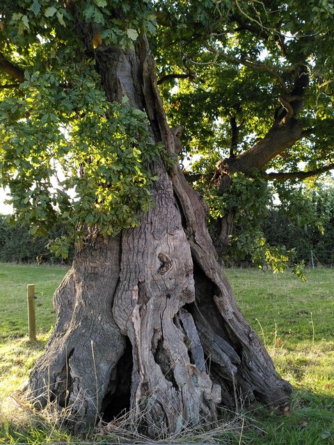
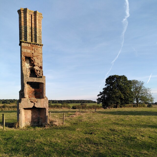
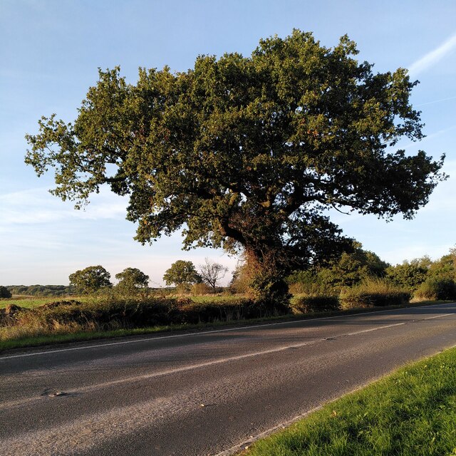
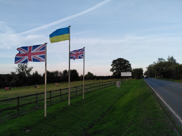
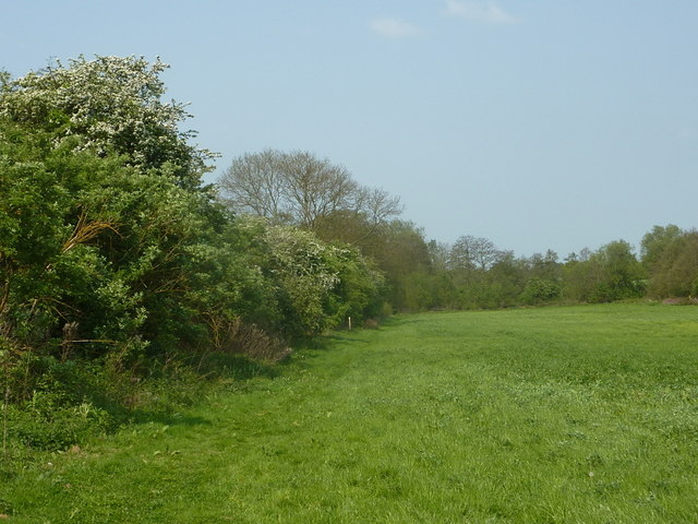
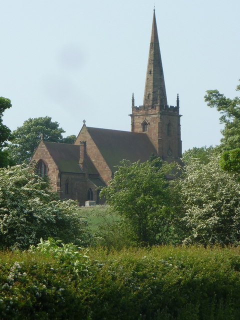
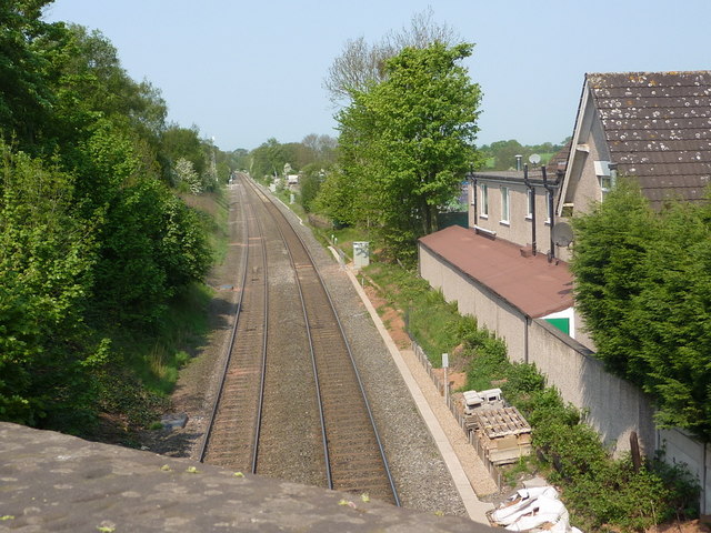
Over Whitacre Images

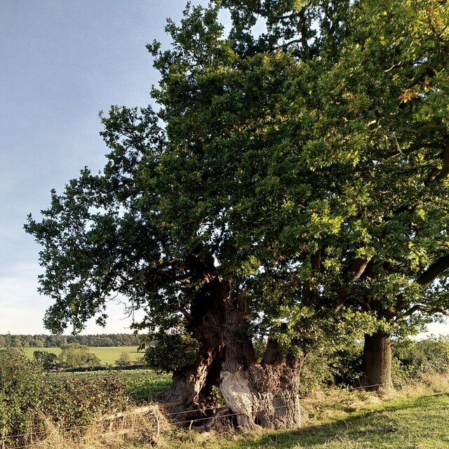
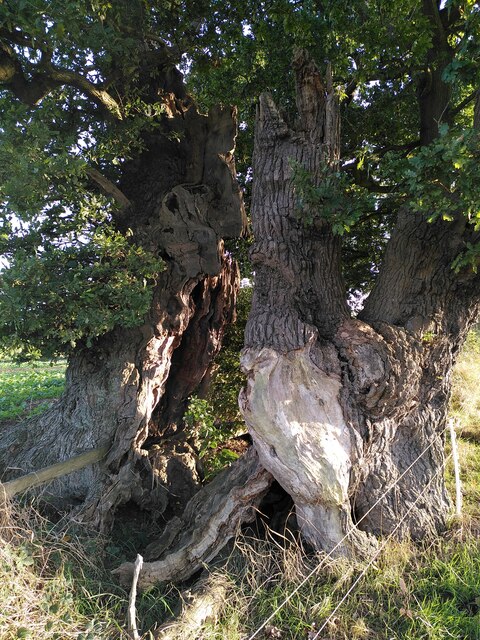
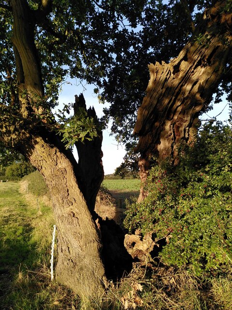
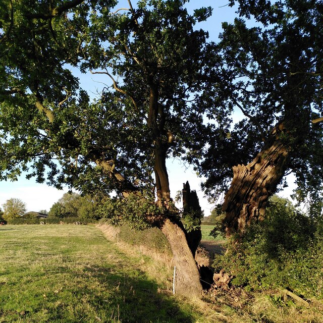
Images are sourced within 2km of 52.52365/-1.621941 or Grid Reference SP2591. Thanks to Geograph Open Source API. All images are credited.

The Monwode Oak, Monwode Lea This remarkable ancient oak has hollowed and split into two halves, which continue to grow. The tree stands at a field boundary by a public footpath; a boundary fence runs between its two halves. It is overshadowed by a larger, younger oak. The old oak is listed by the Woodland Trust Ancient Tree Inventory as an ancient tree, a pedunculate oak (Quercus robur), 9.32m in girth at a height of 1.4m <span class="nowrap"><a title="https://ati.woodlandtrust.org.uk/tree-search/tree?treeid=224522&from=3523&v=2395484&ml=map&z=16&nwLat=52.521221154191636&nwLng=-1.6090820501422698&seLat=52.514287713370464&seLng=-1.6001985738849456#/" rel="nofollow ugc noopener" href="https://ati.woodlandtrust.org.uk/tree-search/tree?treeid=224522&from=3523&v=2395484&ml=map&z=16&nwLat=52.521221154191636&nwLng=-1.6090820501422698&seLat=52.514287713370464&seLng=-1.6001985738849456#/">Link</a><img style="margin-left:2px;" alt="External link" title="External link - shift click to open in new window" src="https://s1.geograph.org.uk/img/external.png" width="10" height="10"/></span> . Steven Falk has also written about this tree; estimating its age is difficult as so many growth rings are missing, but on the evidence of its girth he believes it may be more than 900 years old. See his The Veteran Trees of Warwickshire <span class="nowrap"><a title="https://www.researchgate.net/publication/349330488_The_Veteran_Trees_of_Warwickshire" rel="nofollow ugc noopener" href="https://www.researchgate.net/publication/349330488_The_Veteran_Trees_of_Warwickshire">Link</a><img style="margin-left:2px;" alt="External link" title="External link - shift click to open in new window" src="https://s1.geograph.org.uk/img/external.png" width="10" height="10"/></span> .
The Monwode Oak, Monwode Lea
This remarkable ancient oak has hollowed and split into two halves, which continue to grow. The tree stands at a field boundary by a public footpath; a boundary fence runs between its two halves. It is overshadowed by a larger, younger oak. The old oak is listed by the Woodland Trust Ancient Tree Inventory as an ancient tree, a pedunculate oak (Quercus robur), 9.32m in girth at a height of 1.4m LinkExternal link . Steven Falk has also written about this tree; estimating its age is difficult as so many growth rings are missing, but on the evidence of its girth he believes it may be more than 900 years old. See his The Veteran Trees of Warwickshire LinkExternal link .
Trunk of an ancient split oak, Monwode Lea This is a close-up of the once hollow, now fully split trunk or bole of the Monwode Oak, with a fence passing through it. For more information, and and a fuller view, see <a href="https://www.geograph.org.uk/photo/7632512">SP2691 : The Monwode Oak, Monwode Lea</a>.
Trunk of an ancient split oak, Monwode Lea
This is a close-up of the once hollow, now fully split trunk or bole of the Monwode Oak, with a fence passing through it. For more information, and and a fuller view, see SP2691 : The Monwode Oak, Monwode Lea.
A tree of two halves: the Monwode Oak This ancient split oak, with a field boundary fence passing through it, is seen here from the south, with the late afternoon sun falling on it in mid-October. For more information on this remarkable tree, see <a href="https://www.geograph.org.uk/photo/7632512">SP2691 : The Monwode Oak, Monwode Lea</a>.
A tree of two halves: the Monwode Oak
This ancient split oak, with a field boundary fence passing through it, is seen here from the south, with the late afternoon sun falling on it in mid-October. For more information on this remarkable tree, see SP2691 : The Monwode Oak, Monwode Lea.
The Monwode Oak, viewed from the south This ancient, hollowed out, and now split oak straddles the field boundary. The foliage of its younger neighbour overhangs it at the top left. Monwode Lea Farm and some of its cattle can be seen in the distance. A public footpath crossed the field; there is a stile a short way beyond the tree. 

For more information about this ancient oak, see <a href="https://www.geograph.org.uk/photo/7632512">SP2691 : The Monwode Oak, Monwode Lea</a>, which links to its page on the Ancient Tree Inventory of the Woodland Trust and to Steven Falk's study of the Veteran Trees of Warwickshire. This is one of two oaks he has found in the county with a girth of more than 9 metres. The other is 'Shakespeare's Oak' in the park of Stoneleigh Abbey, which is more intact and much better known, but is not near a public right of way. Judging from their girth, he thinks both may be over 900 years old.
The Monwode Oak, viewed from the south
This ancient, hollowed out, and now split oak straddles the field boundary. The foliage of its younger neighbour overhangs it at the top left. Monwode Lea Farm and some of its cattle can be seen in the distance. A public footpath crossed the field; there is a stile a short way beyond the tree. For more information about this ancient oak, see SP2691 : The Monwode Oak, Monwode Lea, which links to its page on the Ancient Tree Inventory of the Woodland Trust and to Steven Falk's study of the Veteran Trees of Warwickshire. This is one of two oaks he has found in the county with a girth of more than 9 metres. The other is 'Shakespeare's Oak' in the park of Stoneleigh Abbey, which is more intact and much better known, but is not near a public right of way. Judging from their girth, he thinks both may be over 900 years old.
Ancient oak tree, Monwode Lea This is a younger neighbour of the venerable Monwode oak tree <a href="https://www.geograph.org.uk/photo/7632512">SP2691 : The Monwode Oak, Monwode Lea</a>, and stands a short distance away in the same field, which is crossed by a public footpath. 'Younger' for an oak, that is; it is perhaps three or four hundred years old, judging from the girth of 5.6m (at a height of 1.2m, according to the Woodland Trust Ancient Tree Inventory) and the ready reckoner cited by Steven Falk. Its crown is much reduced in size. See its page at the Ancient Tree Inventory <span class="nowrap"><a title="https://ati.woodlandtrust.org.uk/tree-search/tree?treeid=224518&from=3523&v=2395484&ml=map&z=16&nwLat=52.52312719545651&nwLng=-1.609124965486508&seLat=52.51619405544825&seLng=-1.6002414892291839#/" rel="nofollow ugc noopener" href="https://ati.woodlandtrust.org.uk/tree-search/tree?treeid=224518&from=3523&v=2395484&ml=map&z=16&nwLat=52.52312719545651&nwLng=-1.609124965486508&seLat=52.51619405544825&seLng=-1.6002414892291839#/">Link</a><img style="margin-left:2px;" alt="External link" title="External link - shift click to open in new window" src="https://s1.geograph.org.uk/img/external.png" width="10" height="10"/></span> and Falk's The Veteran Trees of Warwickshire <span class="nowrap"><a title="https://www.researchgate.net/publication/349330488_The_Veteran_Trees_of_Warwickshire" rel="nofollow ugc noopener" href="https://www.researchgate.net/publication/349330488_The_Veteran_Trees_of_Warwickshire">Link</a><img style="margin-left:2px;" alt="External link" title="External link - shift click to open in new window" src="https://s1.geograph.org.uk/img/external.png" width="10" height="10"/></span>. It is a pedunculate oak, Quercus robur.
Ancient oak tree, Monwode Lea
This is a younger neighbour of the venerable Monwode oak tree SP2691 : The Monwode Oak, Monwode Lea, and stands a short distance away in the same field, which is crossed by a public footpath. 'Younger' for an oak, that is; it is perhaps three or four hundred years old, judging from the girth of 5.6m (at a height of 1.2m, according to the Woodland Trust Ancient Tree Inventory) and the ready reckoner cited by Steven Falk. Its crown is much reduced in size. See its page at the Ancient Tree Inventory LinkExternal link and Falk's The Veteran Trees of Warwickshire LinkExternal link. It is a pedunculate oak, Quercus robur.
Trunk of an ancient oak, Monwode Lea This is a close-up of the pedunculate oak described at <a href="https://www.geograph.org.uk/photo/7633187">SP2691 : Ancient oak tree, Monwode Lea</a>, which in turn links to its page on the Ancient Tree Inventory of the Woodland Trust.
Trunk of an ancient oak, Monwode Lea
This is a close-up of the pedunculate oak described at SP2691 : Ancient oak tree, Monwode Lea, which in turn links to its page on the Ancient Tree Inventory of the Woodland Trust.
The Monwode Lea chimney Standing alone in a field, this chimney is the only surviving part of a house built around 1600. It is a Grade II listed building, listed 'for group value', perhaps because a similar chimney survives in a nearby farmhouse in Over Whitacre. The listing can be seen at the Historic England site <span class="nowrap"><a title="https://historicengland.org.uk/listing/the-list/list-entry/1115600?section=official-list-entry" rel="nofollow ugc noopener" href="https://historicengland.org.uk/listing/the-list/list-entry/1115600?section=official-list-entry">Link</a><img style="margin-left:2px;" alt="External link" title="External link - shift click to open in new window" src="https://s1.geograph.org.uk/img/external.png" width="10" height="10"/></span> .

The chimney shares the field with two ancient oak trees. One can be seen in the background, on the left in a group of three trees, with a younger oak and an ash to the right; see <a href="https://www.geograph.org.uk/photo/7632512">SP2691 : The Monwode Oak, Monwode Lea</a>. Behind them, on the horizon, extends Arley Wood: a distinctively Warwickshire Arden scene.

The chimney appears in an early Geograph from 2006, <a href="https://www.geograph.org.uk/photo/108569">SP2691 : A lonely chimney</a>.
The Monwode Lea chimney
Standing alone in a field, this chimney is the only surviving part of a house built around 1600. It is a Grade II listed building, listed 'for group value', perhaps because a similar chimney survives in a nearby farmhouse in Over Whitacre. The listing can be seen at the Historic England site LinkExternal link . The chimney shares the field with two ancient oak trees. One can be seen in the background, on the left in a group of three trees, with a younger oak and an ash to the right; see SP2691 : The Monwode Oak, Monwode Lea. Behind them, on the horizon, extends Arley Wood: a distinctively Warwickshire Arden scene. The chimney appears in an early Geograph from 2006, SP2691 : A lonely chimney.
Oak tree by the roadside, Monwode Lea This fine oak is growing beside the B4114. The wood visible in the distance is Hoar Park.
Oak tree by the roadside, Monwode Lea
This fine oak is growing beside the B4114. The wood visible in the distance is Hoar Park.
Flags by Nuneaton Road, Hoar Park Farm British solidarity with Ukraine is on display outside the entrance to the craft centre at Hoar Park Farm.
Flags by Nuneaton Road, Hoar Park Farm
British solidarity with Ukraine is on display outside the entrance to the craft centre at Hoar Park Farm.
Meadow by the railway line The footpath crosses fields towards the Shustoke reservoirs.
Meadow by the railway line
The footpath crosses fields towards the Shustoke reservoirs.
Church at Church End from the north View from the B4114 near the railway bridge, zoom shot. Looking across a gridline.
Church at Church End from the north
View from the B4114 near the railway bridge, zoom shot. Looking across a gridline.
Railway line passing between Furnace End and Church End Looking west from the B4114 bridge.
Railway line passing between Furnace End and Church End
Looking west from the B4114 bridge.
Village scene, Church End, Shustoke Part of an attractive group of houses near the church, with a distinctive stone memorial in the little green island at the lane junction.
Village scene, Church End, Shustoke
Part of an attractive group of houses near the church, with a distinctive stone memorial in the little green island at the lane junction.
Path towards Church End Across the fields on a springtime walk, with the church showing among the hedges and trees.
Path towards Church End
Across the fields on a springtime walk, with the church showing among the hedges and trees.
Footpath into Arley Wood This is part of the offshoot walk from the North Arden Way
Footpath into Arley Wood
This is part of the offshoot walk from the North Arden Way
Looking across a Field of growing Corn Jersey Wood is to the left and Dudley Wood Farm can be seen in the distance.
Looking across a Field of growing Corn
Jersey Wood is to the left and Dudley Wood Farm can be seen in the distance.
Along the B4114 towards Nuneaton from Monwode Lea Farm
Private drive to Laxe's Farm, Estate House and Keepers Cottage
Show me another place!

Over Whitacre is located at Grid Ref: SP2591 (Lat: 52.52365, Lng: -1.621941)

Administrative County: Warwickshire

District: North Warwickshire

Police Authority: Warwickshire

What 3 Words

///drilling.november.brightens. Near Kingsbury, Warwickshire

Related Wikis

Over Whitacre

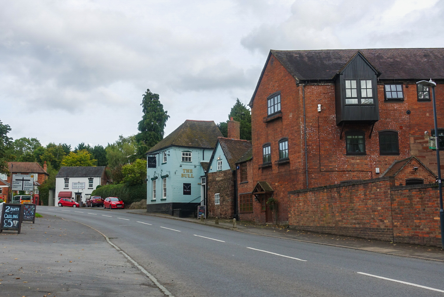
Over Whitacre is a village containing the hamlets of Botts Green, Furnace End and Monwode Lea in North Warwickshire, Warwickshire, England. The population...

Furnace End

Furnace End is a large hamlet in the civil parish of Over Whitacre, and in the North Warwickshire district of Warwickshire, England. It is on the B4114...

Shustoke railway station

Shustoke was a railway station on what is now the Birmingham to Peterborough Line between Whitacre Junction (now closed) and Arley and Fillongley (also...

Botts Green

Botts Green is a hamlet and green in the North Warwickshire district of the county of Warwickshire in England. It is located close to Whitacre Heath, Coleshill...
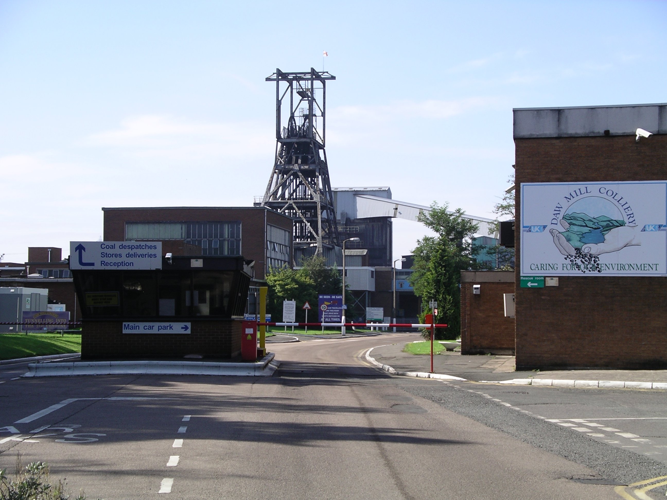
Daw Mill

Daw Mill was a coal mine located near the village of Arley, near Nuneaton, in the English county of Warwickshire. The mine was Britain's biggest coal producer...

Ballard's Green

Ballard's Green is a village in Warwickshire, England. Population details may be found under Over Whitacre.

Nether Whitacre

Nether Whitacre is a small village and larger rural civil parish in North Warwickshire, Warwickshire, England. == Topography == It is one of 'The Whitacres...

Shustoke

Shustoke is a village in the North Warwickshire district of the county of Warwickshire in England. The population of the civil parish at the 2011 census...

Nearby Amenities

Located within 500m of 52.52365,-1.621941
Barrier: stile
Source: survey
Lat/Long: 52.5264561/-1.6203303
Barrier: stile
Source: survey
Lat/Long: 52.5270746/-1.6175219
Barrier: kissing_gate
Source: survey
Lat/Long: 52.5254794/-1.6223959
Barrier: kissing_gate
Source: survey
Lat/Long: 52.5219753/-1.6209851
Barrier: stile
Source: survey
Lat/Long: 52.5246162/-1.6174854
Barrier: kissing_gate
Source: survey
Lat/Long: 52.5237157/-1.6193234
Barrier: kissing_gate
Lat/Long: 52.5227264/-1.6249493
Power: pole
Source: Warwicks CC Aerial Imagery 2013
Lat/Long: 52.5266797/-1.6197391
Power: pole
Source: Warwicks CC Aerial Imagery 2013
Lat/Long: 52.5261831/-1.6199639
Power: pole
Source: Warwicks CC Aerial Imagery 2013
Lat/Long: 52.5253106/-1.6203949
Power: pole
Source: Warwicks CC Aerial Imagery 2013
Lat/Long: 52.5231817/-1.6211955
Power: pole
Source: Warwicks CC Aerial Imagery 2013
Lat/Long: 52.5241169/-1.620875
Power: pole
Source: Warwicks CC Aerial Imagery 2013
Lat/Long: 52.5248382/-1.6206148
Power: pole
Source: Warwicks CC Aerial Imagery 2013
Lat/Long: 52.5244514/-1.62209
Power: pole
Source: Warwicks CC Aerial Imagery 2013
Lat/Long: 52.5247149/-1.6233158
Power: pole
Source: Warwicks CC Aerial Imagery 2013
Lat/Long: 52.5249301/-1.6243659
The data included in this document is from www.openstreetmap.org. The data is made available under ODbL.

Have you been to Over Whitacre?

Leave your review of Over Whitacre below (or comments, questions and feedback).