Royds Clough Plantation

Wood, Forest in Yorkshire

England

Royds Clough Plantation

Monument on Well On Hoar Stones Road near Eastfield Farm
Monument on Well Credit: Kevin Waterhouse

The requested URL returned error: 429 Too Many Requests

If you have any feedback on the listing, please let us know in the comments section below.

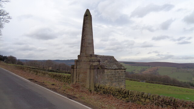
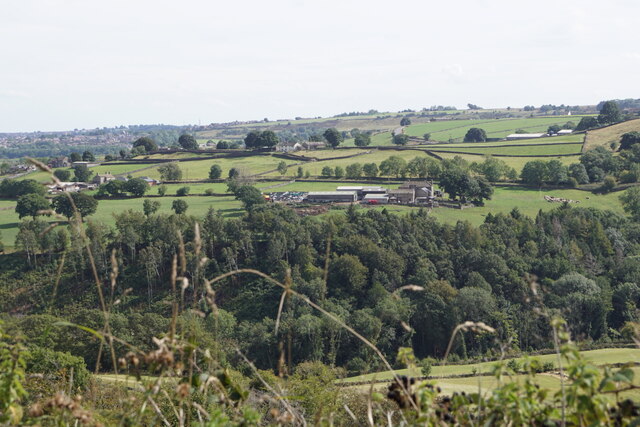
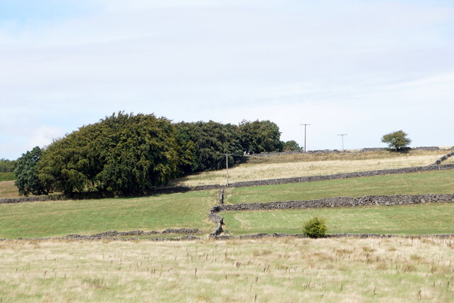
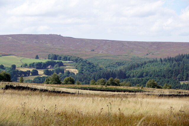
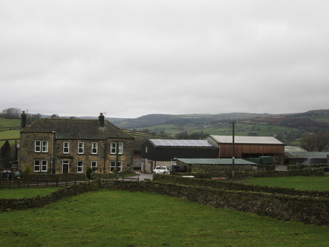
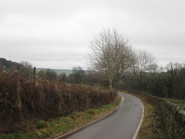
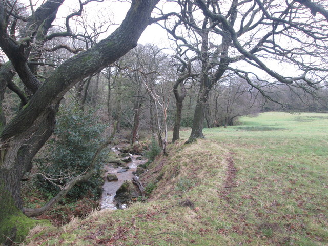
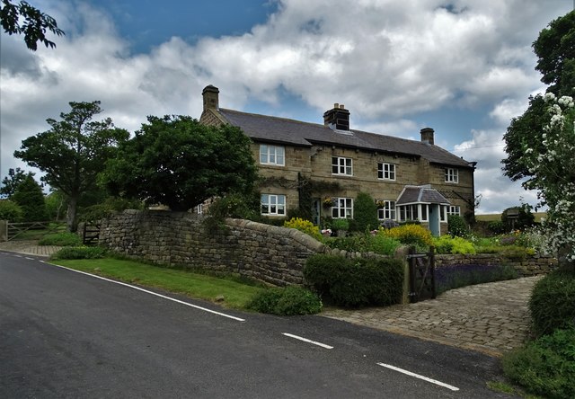
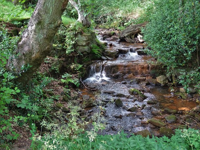
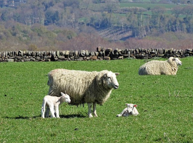
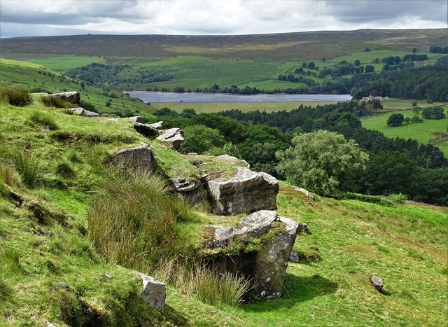
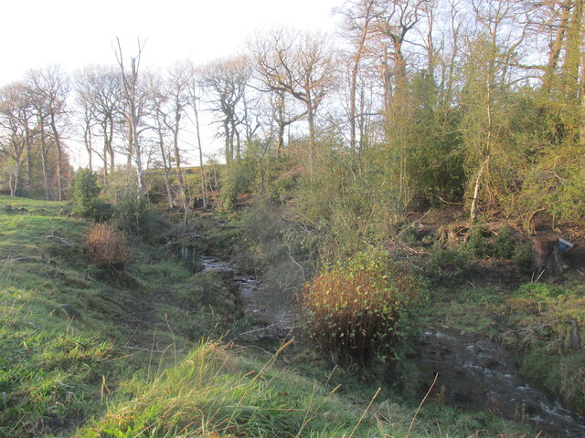
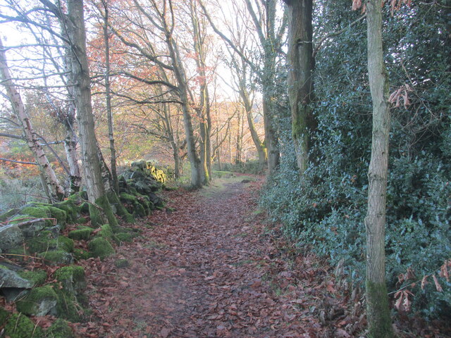
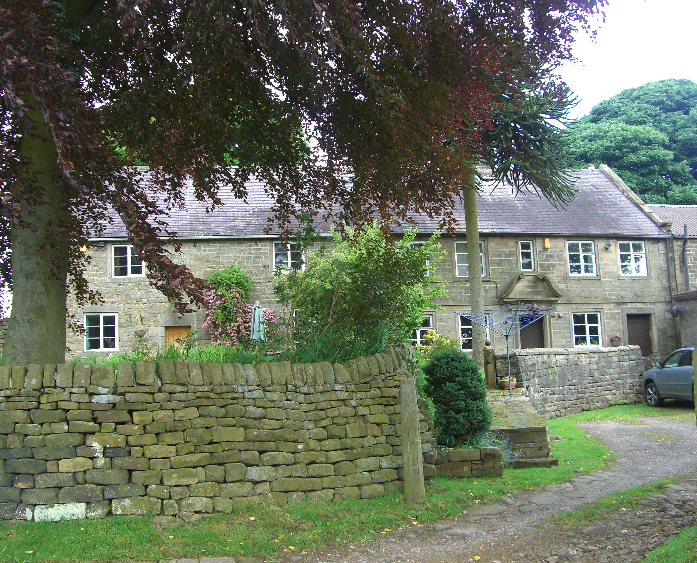
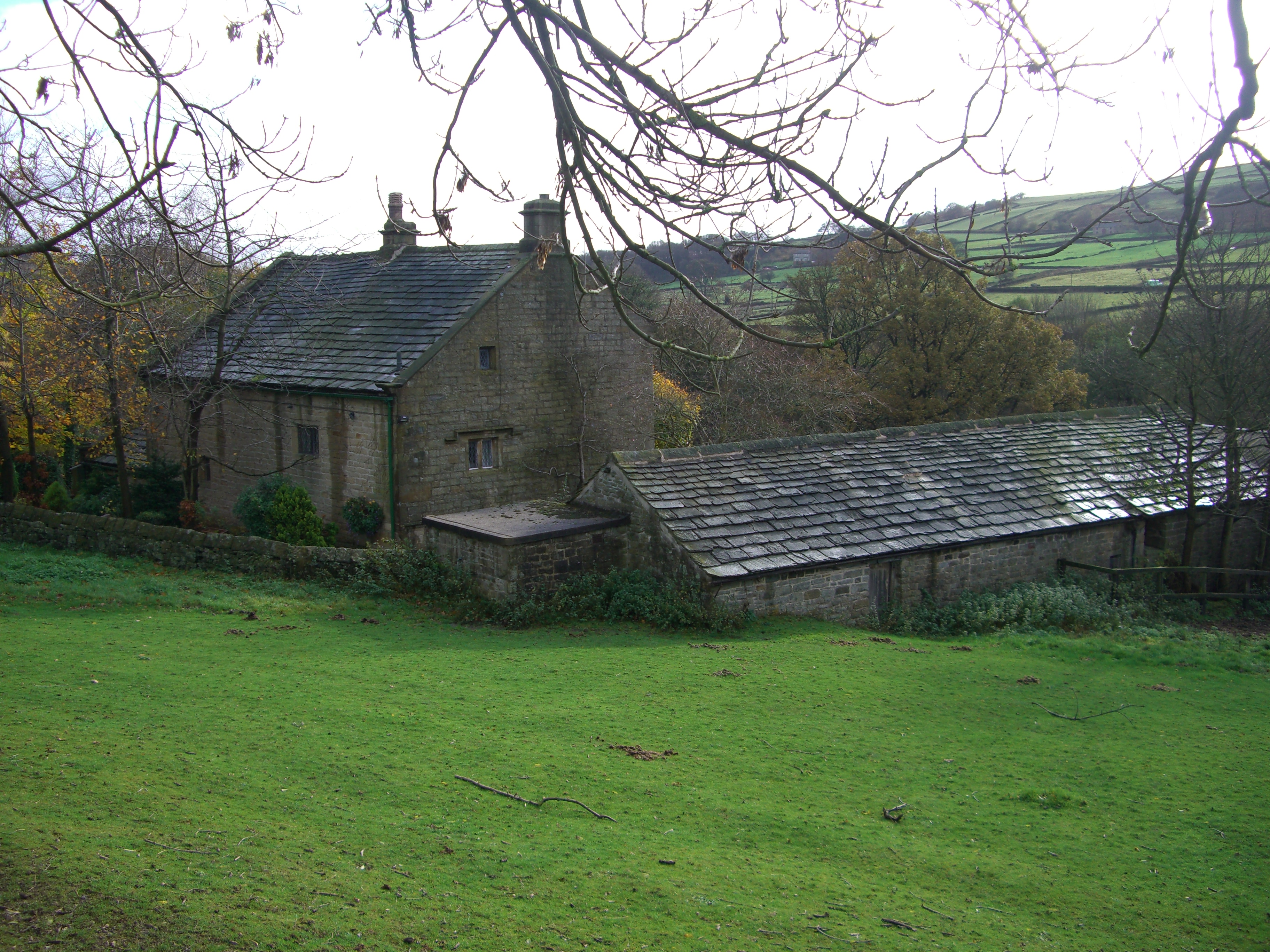
Royds Clough Plantation Images

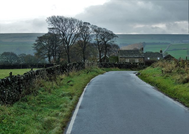
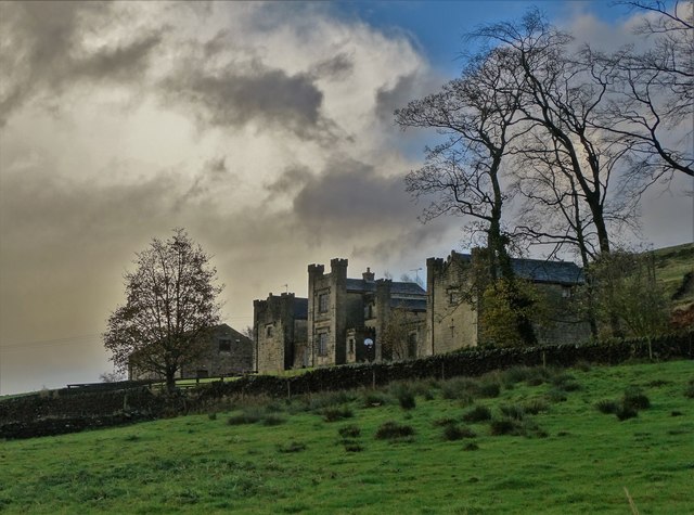
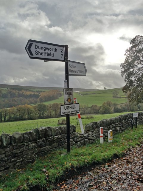
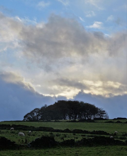
Images are sourced within 2km of 53.402376/-1.6146954 or Grid Reference SK2589. Thanks to Geograph Open Source API. All images are credited.

Monument on Well On Hoar Stones Road near Eastfield Farm
Monument on Well
On Hoar Stones Road near Eastfield Farm
Fields near Ughill
Fields near Ughill
Fields near Ughill
Fields near Ughill
View north from West Shaw Lane, Ughill Moors
On Ughill Road, approaching Upper House
Fox Holes Farm above the Loxley Valley
Signpost at the road junction in Ughill I previously photographed this signpost in 2011: <a title="https://www.geograph.org.uk/photo/2630676" href="https://www.geograph.org.uk/photo/2630676">Link</a>
Signpost at the road junction in Ughill
I previously photographed this signpost in 2011: Link
A view of Shepherd's Height, Ughill
Rickett Field Farm, near Dungworth
Ughill Wood Lane
Ughill Wood Lane
Footpath beside Wet Shaw Dike, near Ughill
Platts Farm, near Ughill
East and West Cottages, Ughill
Wet Shaw Dike
Wet Shaw Dike
New lambs at Wet Shaw In this field there were some fifty ewes but this was the first one to lamb. The twins look as if they were born within the last twenty four hours.
New lambs at Wet Shaw
In this field there were some fifty ewes but this was the first one to lamb. The twins look as if they were born within the last twenty four hours.
Blindside Rocks with view to Strines Reservoir
Wet Shaw Dike Attractive little stream.
Wet Shaw Dike
Attractive little stream.
Footpath from Ughill wood lane. Dropping down into the valley.
Footpath from Ughill wood lane.
Dropping down into the valley.
Show me another place!

Royds Clough Plantation is located at Grid Ref: SK2589 (Lat: 53.402376, Lng: -1.6146954)

Division: West Riding

Unitary Authority: Sheffield

Police Authority: South Yorkshire

What 3 Words

///claim.improving.buck. Near Bradfield, South Yorkshire

Related Wikis

Ughill

Ughill is a small, rural hamlet within the City of Sheffield in Bradfield Parish in England. It is 5 mi (8 km) west-northwest of the city centre. It stands...

Damflask Reservoir

Damflask Reservoir is situated at grid reference SK277907 five miles (eight kilometres) west of the centre of Sheffield in the Loxley valley close to the...

Fair House Farmhouse

Fair House Farmhouse is a 17th-century building situated on Annet Lane in the village of Low Bradfield within the boundary of the City of Sheffield in...

Bradfield Dale

Bradfield Dale is a rural valley 12 kilometres (7.5 mi) west-northwest of the City of Sheffield in England. The valley stands within the north-eastern...

Nearby Amenities

Located within 500m of 53.402376,-1.6146954
Barrier: cattle_grid
Bicycle: yes
Foot: yes
Lat/Long: 53.4028677/-1.6165122
Barrier: stile
Lat/Long: 53.4047493/-1.6140163
Marker: aerial
Lat/Long: 53.4041115/-1.6084265
The data included in this document is from www.openstreetmap.org. The data is made available under ODbL.

Have you been to Royds Clough Plantation?

Leave your review of Royds Clough Plantation below (or comments, questions and feedback).