Royds Clough
Valley in Yorkshire
England
Royds Clough
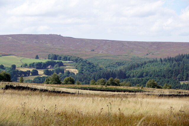
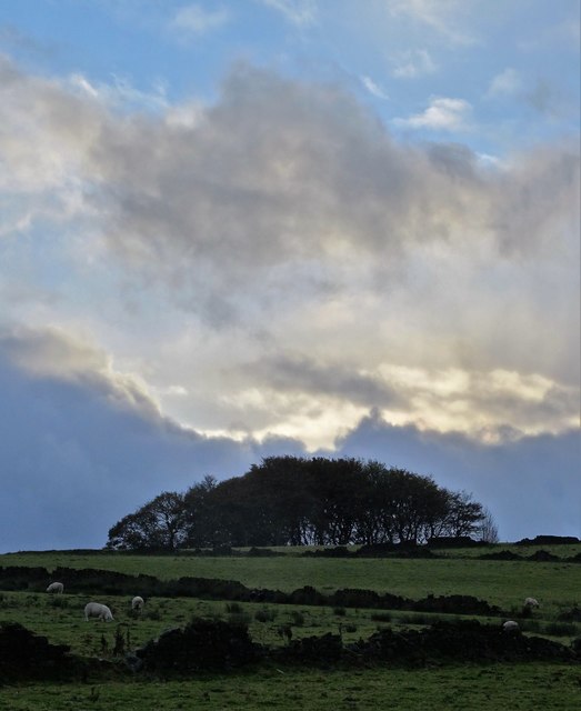
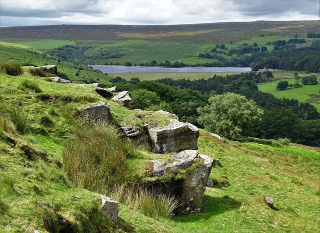
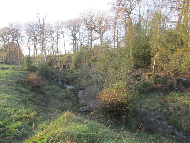
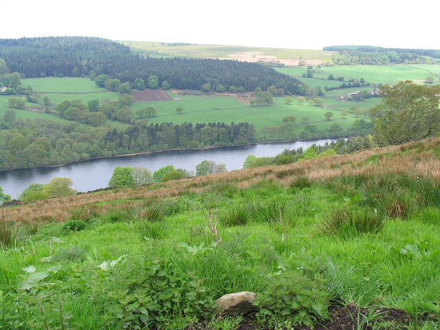
Royds Clough is a picturesque valley located in Yorkshire, England. Nestled amidst the rolling hills and lush greenery, it is a haven for nature lovers and those seeking tranquility. The valley stretches for approximately one mile and is surrounded by dense woodlands, making it an ideal destination for hiking and exploring.
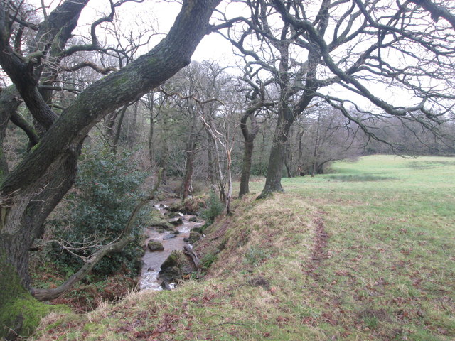
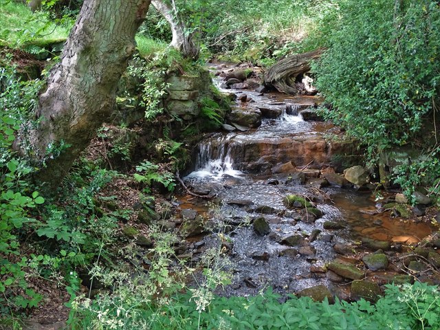
The main feature of Royds Clough is the meandering stream that flows through it, adding to its charm and providing a soothing ambiance. This stream is fed by several small waterfalls along the way, creating a mesmerizing sight and offering countless opportunities for photographers to capture the beauty of nature.
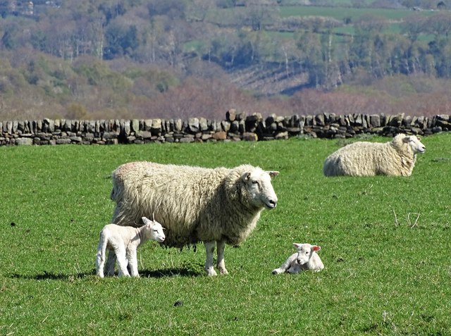
The valley is home to a diverse range of wildlife, including rare species of birds, mammals, and insects. It's not uncommon to spot kingfishers darting across the water or catch a glimpse of deer grazing in the distance. The biodiversity of the area is protected, and there are designated nature reserves within the valley, ensuring the preservation of the natural habitat.
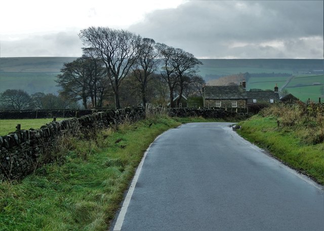
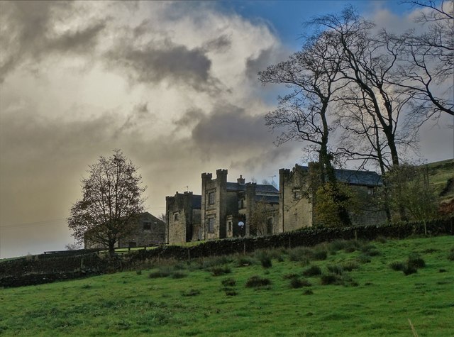
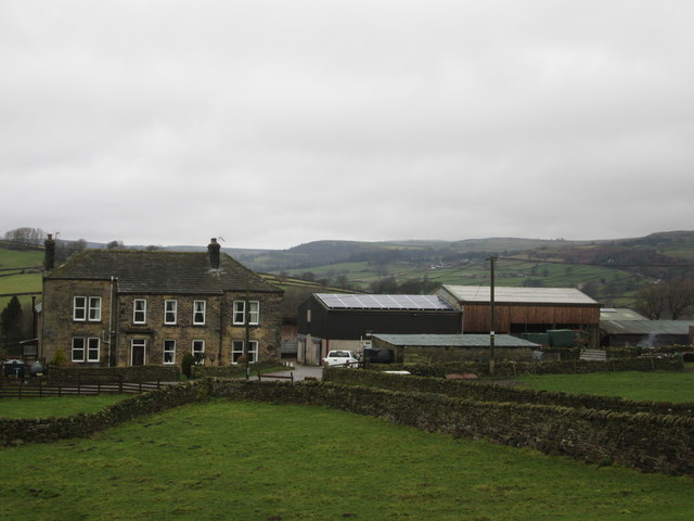
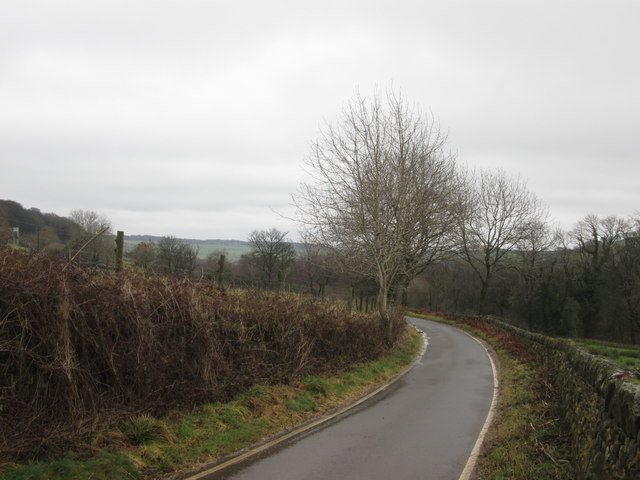
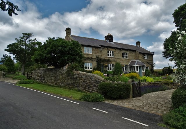
Royds Clough is a popular destination for outdoor enthusiasts, with numerous walking trails and footpaths that crisscross the valley. These trails cater to all levels of fitness, from leisurely strolls to more challenging hikes. Along the way, visitors can enjoy breathtaking views of the surrounding countryside and explore historical landmarks, such as old mining sites and ruins of ancient buildings.
Overall, Royds Clough offers a serene and idyllic escape from the hustle and bustle of everyday life, allowing visitors to immerse themselves in the beauty of nature and experience the tranquility of Yorkshire's countryside.
If you have any feedback on the listing, please let us know in the comments section below.
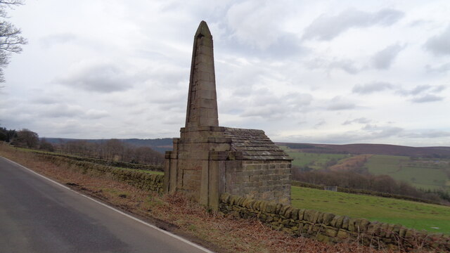
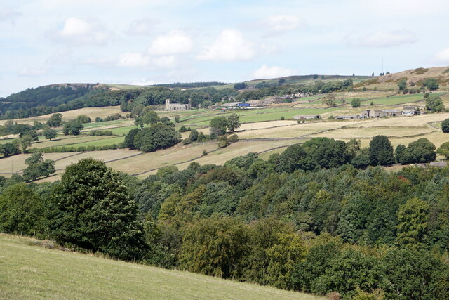
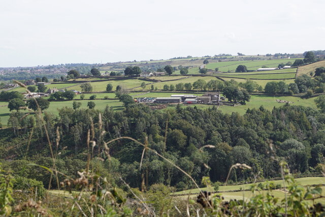
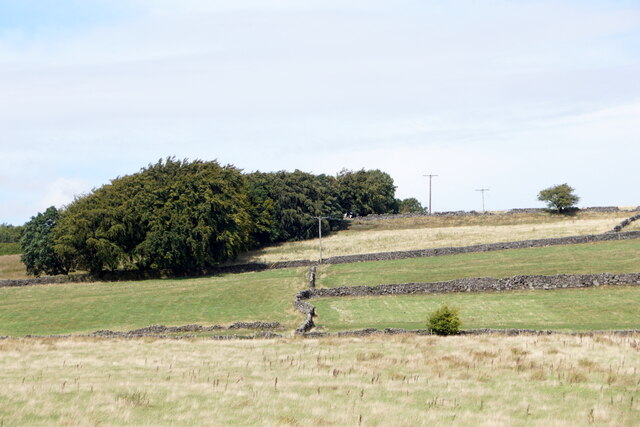
Royds Clough Images
Images are sourced within 2km of 53.402742/-1.6139401 or Grid Reference SK2589. Thanks to Geograph Open Source API. All images are credited.

Royds Clough is located at Grid Ref: SK2589 (Lat: 53.402742, Lng: -1.6139401)
Division: West Riding
Unitary Authority: Sheffield
Police Authority: South Yorkshire
What 3 Words
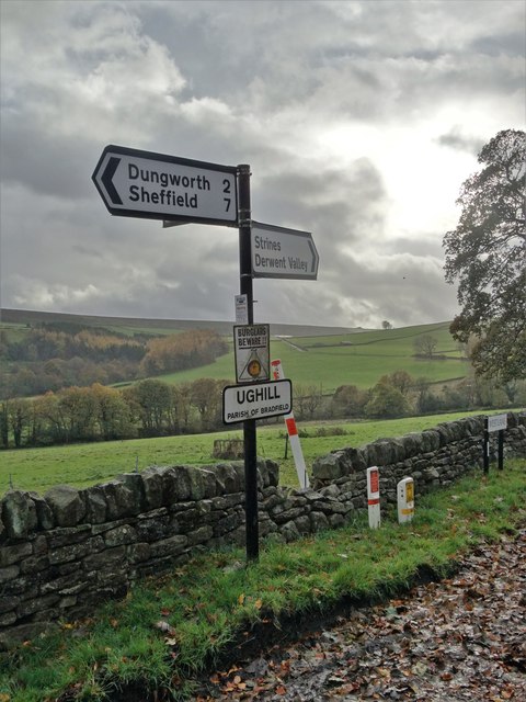
///cuts.ledge.slate. Near Bradfield, South Yorkshire
Nearby Locations
Related Wikis
Ughill
Ughill is a small, rural hamlet within the City of Sheffield in Bradfield Parish in England. It is 5 mi (8 km) west-northwest of the city centre. It stands...

Damflask Reservoir
Damflask Reservoir is situated at grid reference SK277907 five miles (eight kilometres) west of the centre of Sheffield in the Loxley valley close to the...
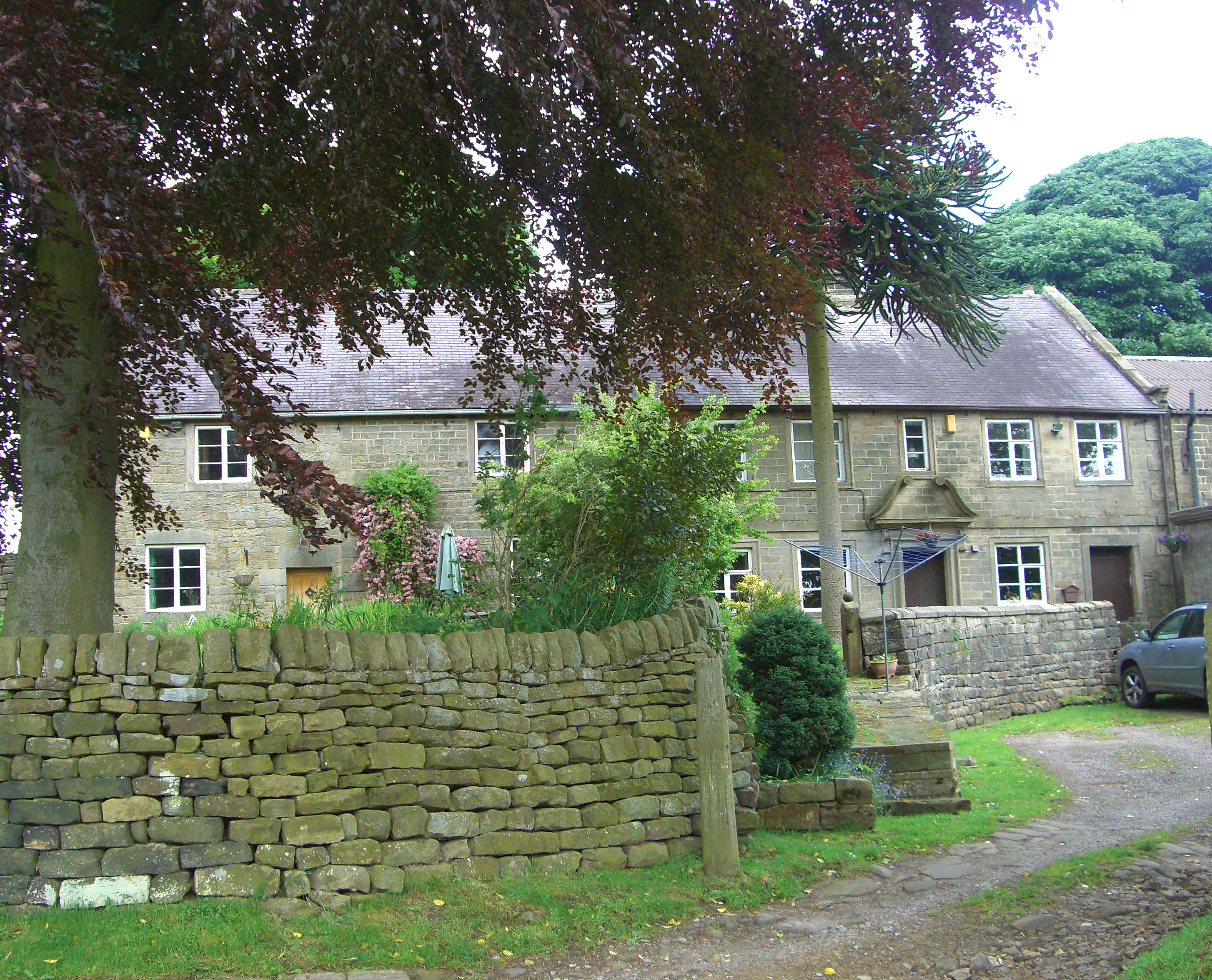
Fair House Farmhouse
Fair House Farmhouse is a 17th-century building situated on Annet Lane in the village of Low Bradfield within the boundary of the City of Sheffield in...

Bradfield Dale
Bradfield Dale is a rural valley 12 kilometres (7.5 mi) west-northwest of the City of Sheffield in England. The valley stands within the north-eastern...
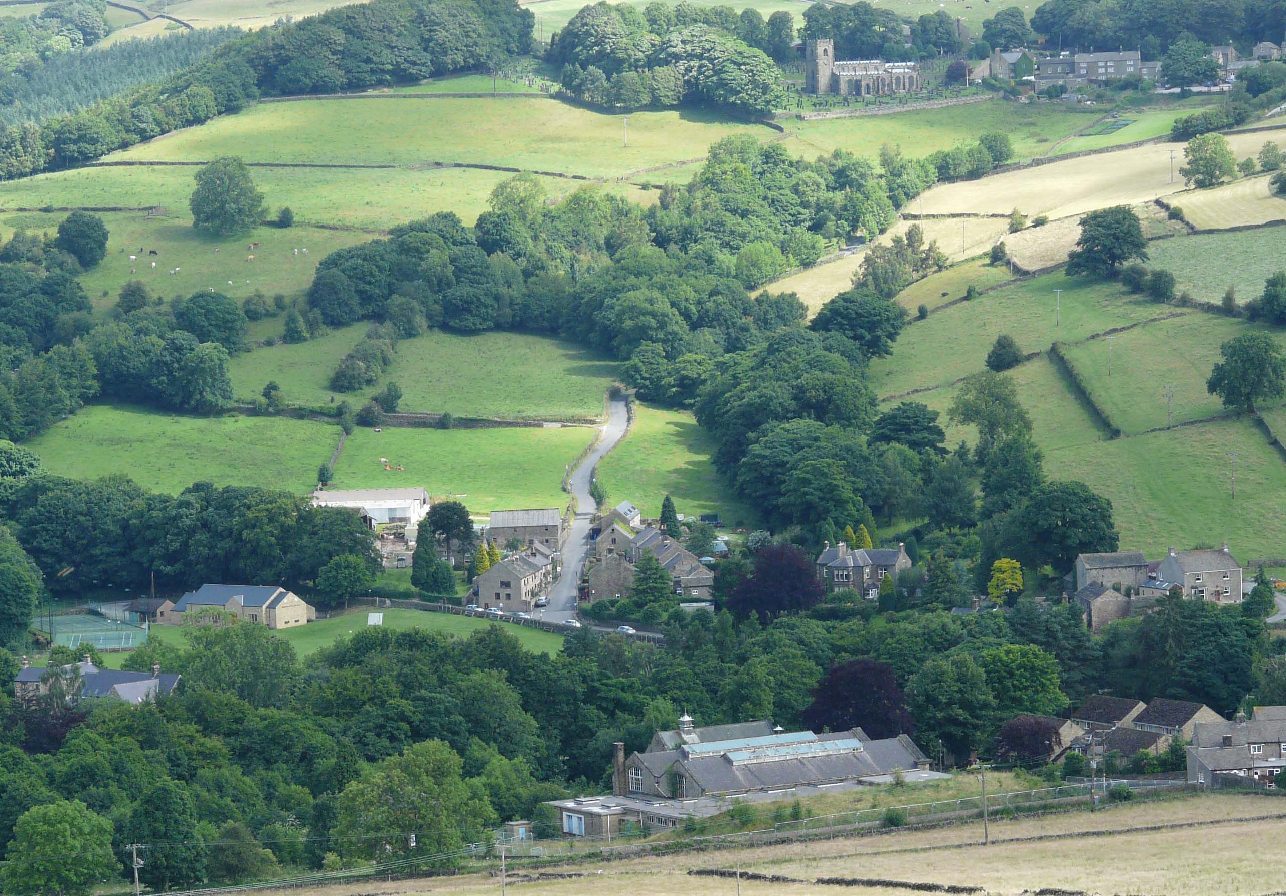
Low Bradfield
Low Bradfield is a village within the civil parish of Bradfield in South Yorkshire, England. It is situated within the boundary of the city of Sheffield...
Dale Dike Reservoir
Dale Dike Reservoir or Dale Dyke Reservoir (grid reference SK240913) is a reservoir in the north-east Peak District, in the City of Sheffield, South Yorkshire...

Sheffield University Rowing Club
Sheffield University Rowing Club (SURC) is the rowing club for The University of Sheffield and is based on Damflask Reservoir near Lower Bradfield, Sheffield...
City of Sheffield Rowing Club
City of Sheffield Rowing Club is a rowing club on the Damflask Reservoir, based at the Damflask Rowing Centre, Low Bradfield, Sheffield, South Yorkshire...
Nearby Amenities
Located within 500m of 53.402742,-1.6139401Have you been to Royds Clough?
Leave your review of Royds Clough below (or comments, questions and feedback).