Park Plantation

Wood, Forest in Yorkshire Hambleton

England

Park Plantation

Outbuilding belonging to Binsoe Hill Farm Scene in the unfrequented hamlet of Binsoe.
Outbuilding belonging to Binsoe Hill Farm Credit: Chris Heaton

The requested URL returned error: 429 Too Many Requests

If you have any feedback on the listing, please let us know in the comments section below.

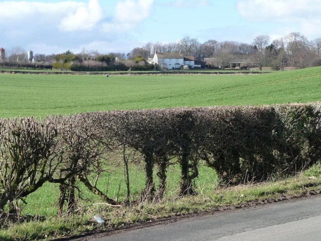
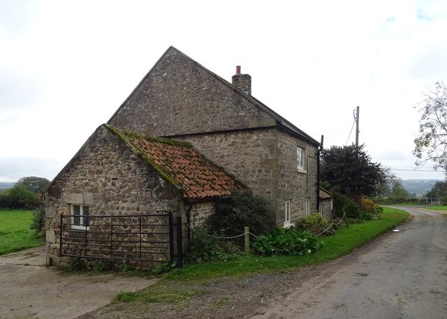
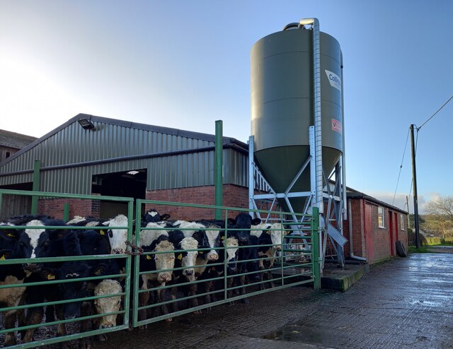
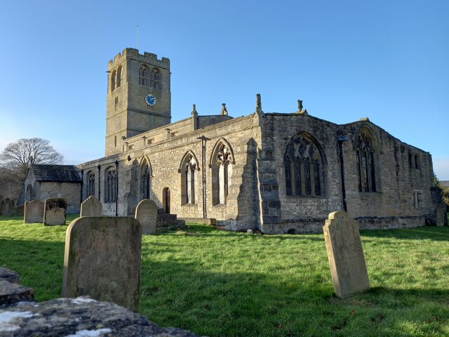
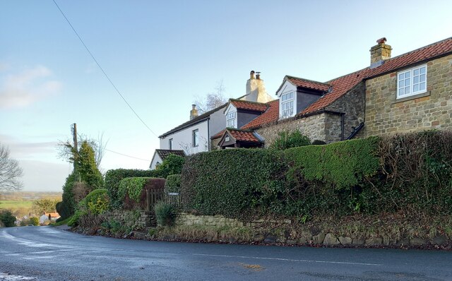
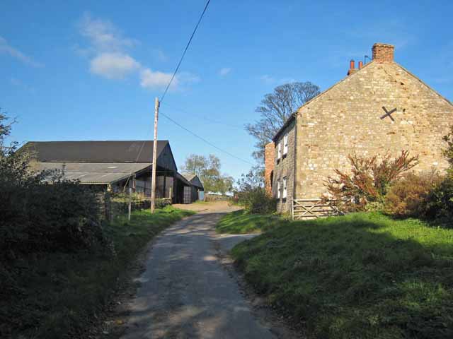
Park Plantation Images

Images are sourced within 2km of 54.230406/-1.6070452 or Grid Reference SE2581. Thanks to Geograph Open Source API. All images are credited.
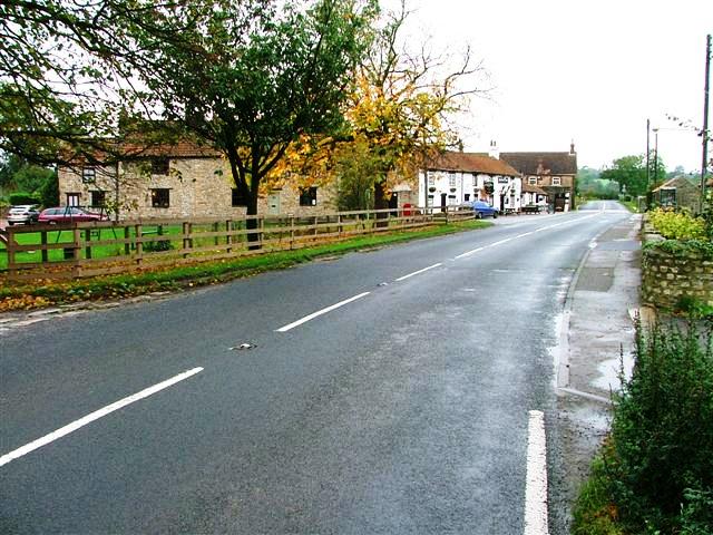
Outbuilding belonging to Binsoe Hill Farm Scene in the unfrequented hamlet of Binsoe.
Outbuilding belonging to Binsoe Hill Farm
Scene in the unfrequented hamlet of Binsoe.
Binsoe A muddy track leads to Binsoe Hill Farm in this small hamlet.
Binsoe
A muddy track leads to Binsoe Hill Farm in this small hamlet.
Binsoe Lane, Binsoe Curving round a covered reservoir, south of Binsoe Hill Farm.
Binsoe Lane, Binsoe
Curving round a covered reservoir, south of Binsoe Hill Farm.
Sheep pasture at Binsoe With some beautiful winter trees in the hedgerow.
Sheep pasture at Binsoe
With some beautiful winter trees in the hedgerow.
Park Lane, Binsoe Heading south-east under the line of trees.
Park Lane, Binsoe
Heading south-east under the line of trees.
Wooded hillock at the centre of Binsoe According to the map, the site of a covered reservoir.
Wooded hillock at the centre of Binsoe
According to the map, the site of a covered reservoir.
Road junction, Binsoe Park Lane coming in across the grass from the right [south-east]. Thiefgate Lane straight ahead [north-west] and Binsoe Lane running across. Unseen is a fifth lane west to Binsoe Hill Farm.
Road junction, Binsoe
Park Lane coming in across the grass from the right [south-east]. Thiefgate Lane straight ahead [north-west] and Binsoe Lane running across. Unseen is a fifth lane west to Binsoe Hill Farm.
Farmland east of Field Cottage, Honey Hill With North Tanfield Farm in the distance.
Farmland east of Field Cottage, Honey Hill
With North Tanfield Farm in the distance.
Field Cottage Seen from Honey Hill, north of West Tanfield.
Field Cottage
Seen from Honey Hill, north of West Tanfield.
Roadside cottage at Binsoe Binsoe is a hamlet reached along narrow lanes from either the A6108 or the B6267 and is not really on the road to anywhere in particular. The cottage here shows elements of various local stone, the walls being mostly of rubble quarried locally, whilst the quoins appear to be of carboniferous sandstone obtained from somewhere west of the Ure.
Roadside cottage at Binsoe
Binsoe is a hamlet reached along narrow lanes from either the A6108 or the B6267 and is not really on the road to anywhere in particular. The cottage here shows elements of various local stone, the walls being mostly of rubble quarried locally, whilst the quoins appear to be of carboniferous sandstone obtained from somewhere west of the Ure.
Stone Cottage, Binsoe
Well, Long Lane The brick built farm building is on the south side of Long Lane. The benchmark can be seen on the corner of the brick wall, cut into the 4th and 5th brick courses that are above the concrete platform.
Well, Long Lane
The brick built farm building is on the south side of Long Lane. The benchmark can be seen on the corner of the brick wall, cut into the 4th and 5th brick courses that are above the concrete platform.
Well, Long Lane The brick built farm building is on the south side of Long Lane. There is a benchmark cut into the right corner of the gable end, just to the left of the feed bin. The mark is cut into the 4th and 5th brick courses that are above the concrete platform that the bin stands on.
Well, Long Lane
The brick built farm building is on the south side of Long Lane. There is a benchmark cut into the right corner of the gable end, just to the left of the feed bin. The mark is cut into the 4th and 5th brick courses that are above the concrete platform that the bin stands on.
Well, St Michael's church The benchmark is cut into the south-east face of the church tower.
Well, St Michael's church
The benchmark is cut into the south-east face of the church tower.
Well, St Michael's church There is a benchmark cut into the south-east face of the church tower.
Well, St Michael's church
There is a benchmark cut into the south-east face of the church tower.
Well, Ivy Cottage According to the OS benchmark database there is a mark cut into the stone wall of Ivy Cottage. Areas of the wall have been rebuilt and no mark was found.
Well, Ivy Cottage
According to the OS benchmark database there is a mark cut into the stone wall of Ivy Cottage. Areas of the wall have been rebuilt and no mark was found.
The Millbank Arms, Well
Well House, Well Taken from the gate. Although apparently an 18C building, parts of it were built in the 14C according to the listing details.  It is listed Grade I.
Well House, Well
Taken from the gate. Although apparently an 18C building, parts of it were built in the 14C according to the listing details. It is listed Grade I.
Show me another place!

Park Plantation is located at Grid Ref: SE2581 (Lat: 54.230406, Lng: -1.6070452)

Division: North Riding

Administrative County: North Yorkshire

District: Hambleton

Police Authority: North Yorkshire

What 3 Words

///tolerates.fatter.thick. Near Masham, North Yorkshire

Nearby Locations

Park Plantation

Related Wikis

Well, North Yorkshire

Well is a small village and civil parish in North Yorkshire, England. It is about 4 miles south of Bedale, near Snape. Well is situated at the edge of...

Binsoe

Binsoe is a hamlet in the civil parish of West Tanfield, North Yorkshire, England. The hamlet is just to the north of the A6108 road, being 1.25 miles...

Burton-on-Yore

Burton-on-Yore (historically also Burton upon Ure) is a civil parish in the Harrogate district of North Yorkshire, England, facing Masham across the River...

Nosterfield

Nosterfield is a hamlet within the civil parish of West Tanfield in the Hambleton district of North Yorkshire, England formerly used for quarrying. Several...

Nearby Amenities

Located within 500m of 54.230406,-1.6070452
The data included in this document is from www.openstreetmap.org. The data is made available under ODbL.

Have you been to Park Plantation?

Leave your review of Park Plantation below (or comments, questions and feedback).