Chase Wood

Wood, Forest in Warwickshire Warwick

England

Chase Wood

Honiley-North Lodge View from the churchyard.
Honiley-North Lodge Credit: Ian Rob

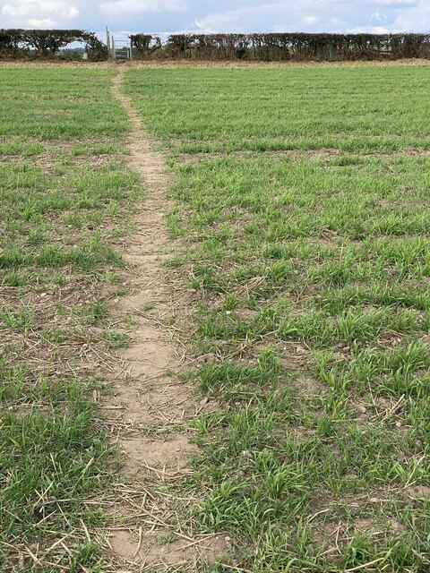
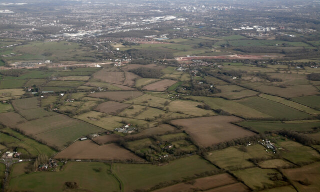
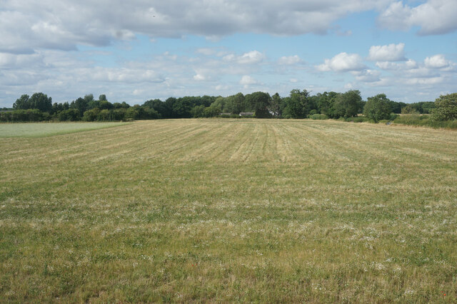
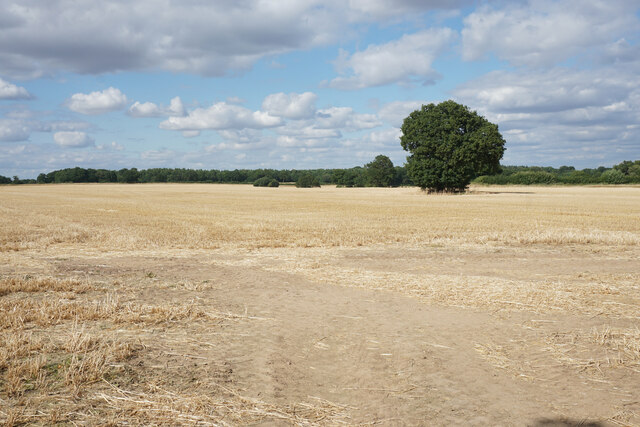
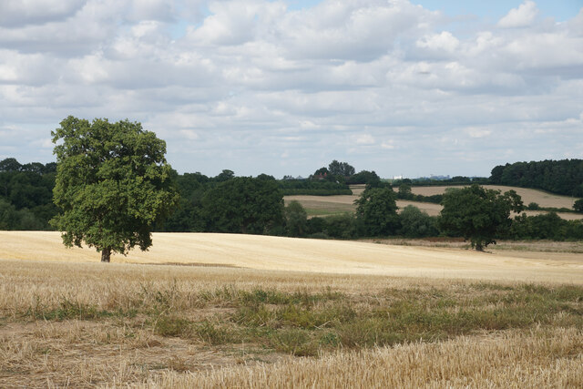
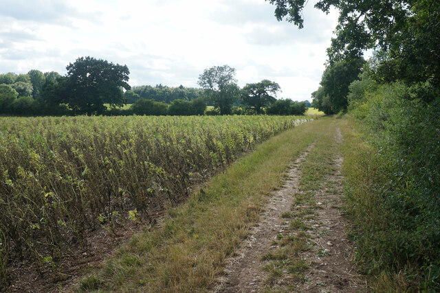
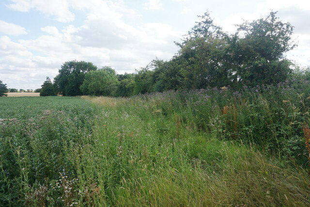
Chase Wood is a sprawling forest located in Warwickshire, England. Spanning an area of approximately 500 hectares, it is a significant natural attraction in the region. The forest is known for its dense canopy of trees, primarily consisting of oak, beech, and birch, creating a picturesque and serene environment.

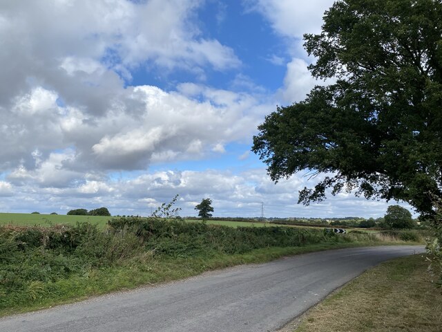
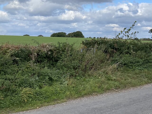
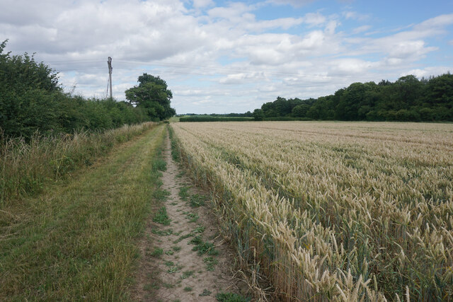
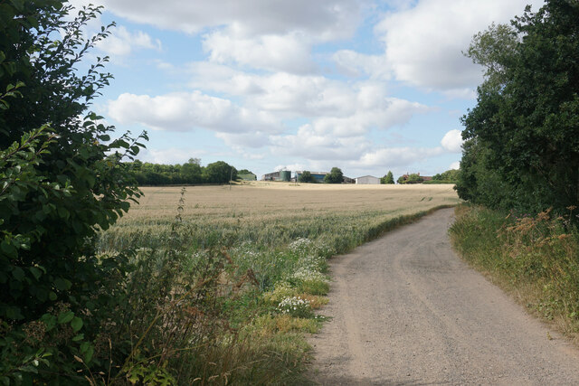
Chase Wood offers a variety of recreational activities for visitors to enjoy. The forest has numerous well-maintained trails that wind through its scenic landscape, making it an ideal spot for hiking and nature walks. These trails cater to all levels of fitness and provide an opportunity for visitors to explore the area's rich biodiversity. Along the way, one might encounter various wildlife species such as deer, foxes, and a wide array of bird species.

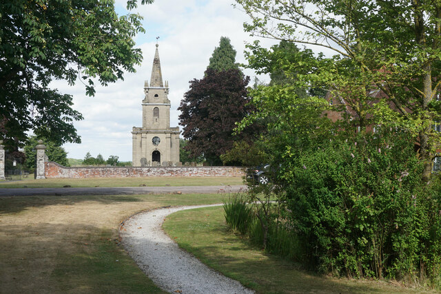
The forest is also home to several historic sites, adding to its cultural significance. There are remnants of ancient settlements and burial mounds that date back centuries, providing a glimpse into the area's rich history. Additionally, a small man-made lake within the forest offers a tranquil spot for fishing or simply enjoying the peaceful surroundings.

Chase Wood is easily accessible, with ample parking facilities and well-marked entrances. It attracts a diverse range of visitors, from nature enthusiasts seeking tranquility to families looking for a day of outdoor activities. The forest's natural beauty, coupled with its historical and recreational offerings, make Chase Wood a popular destination for both locals and tourists alike.

If you have any feedback on the listing, please let us know in the comments section below.
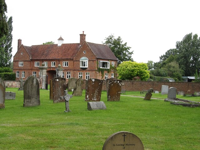
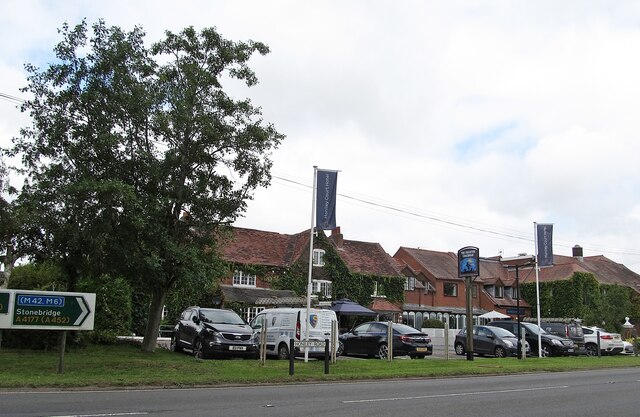
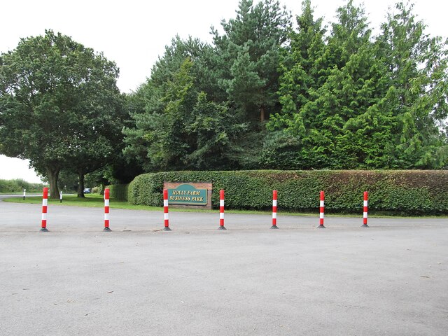
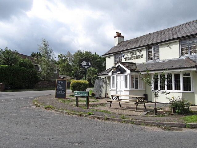
Chase Wood Images

Images are sourced within 2km of 52.352661/-1.6247188 or Grid Reference SP2572. Thanks to Geograph Open Source API. All images are credited.

Honiley-North Lodge View from the churchyard.
Honiley-North Lodge
View from the churchyard.
Honiley Boot-The Phantom Coachman Public House.
Honiley Boot-The Phantom Coachman
Public House.
Holly Farm Business Park On the A4177.
Holly Farm Business Park
On the A4177.
Meer End-The Tipperary Inn On Table Oak Lane.
Meer End-The Tipperary Inn
On Table Oak Lane.
Public footpath across farmland Near Fernwood Farm.
Public footpath across farmland
Near Fernwood Farm.
Rural lane It’s just possible to make out the gap in the hedge to the left of the image.  This is where a public right of way leads across farmland.
Rural lane
It’s just possible to make out the gap in the hedge to the left of the image. This is where a public right of way leads across farmland.
Gap in hedge The gap is where a footpath leads across farmland at Ferndown Farm.
Gap in hedge
The gap is where a footpath leads across farmland at Ferndown Farm.
HS2 construction site at Burton Green from the air Burton Green is to the right, Coventry in the distance. Viewed from a Birmingham bound flight from Prague.
HS2 construction site at Burton Green from the air
Burton Green is to the right, Coventry in the distance. Viewed from a Birmingham bound flight from Prague.
Field at Honiley The field generates silage.
Field at Honiley
The field generates silage.
Harvested field at Honiley On the north side of Church Lane.
Harvested field at Honiley
On the north side of Church Lane.
Pea crop at Honiley Ripening up nicely. It is further ahead than other local fields.
Pea crop at Honiley
Ripening up nicely. It is further ahead than other local fields.
Another local campaign An all too common occurrence where locals are trying to preserve their countryside.
Another local campaign
An all too common occurrence where locals are trying to preserve their countryside.
Church of St John the Baptist, Honiley Dating from 1723, this was originally the private chapel for Honiley Hall. It is in Baroque style and Grade I listed. The gateposts to the left are also listed as Grade II*.
Church of St John the Baptist, Honiley
Dating from 1723, this was originally the private chapel for Honiley Hall. It is in Baroque style and Grade I listed. The gateposts to the left are also listed as Grade II*.
Farmland near Honiley In the distance you can see the outskirts of Coventry, and some of the buildings may be Warwick University.
Farmland near Honiley
In the distance you can see the outskirts of Coventry, and some of the buildings may be Warwick University.
Footpath to Kenilworth A long straight path by the edge of a field. The crop changes in the next field but otherwise the view is much the same.
Footpath to Kenilworth
A long straight path by the edge of a field. The crop changes in the next field but otherwise the view is much the same.
Track towards Warriors Lodge Farm The track is also a public footpath which gets onto Chase Lane.
Track towards Warriors Lodge Farm
The track is also a public footpath which gets onto Chase Lane.
Footpath to Honiley Passing a pea crop on the left.
Footpath to Honiley
Passing a pea crop on the left.
Park Pale The pale relating to Kenilworth Castle is hidden in the foliage of the field boundary and there is not much of it that can be seen.
Park Pale
The pale relating to Kenilworth Castle is hidden in the foliage of the field boundary and there is not much of it that can be seen.
Show me another place!

Chase Wood is located at Grid Ref: SP2572 (Lat: 52.352661, Lng: -1.6247188)

Administrative County: Warwickshire

District: Warwick

Police Authority: Warwickshire

What 3 Words

///beard.achieving.trucks. Near Kenilworth, Warwickshire

Related Wikis

Honiley

Honiley is a small village and former civil parish, now in the parish of Beausale, Haseley, Honiley and Wroxall, in the Warwick district, in the county...

Banbury Music Radio

Banbury Music Radio was a local Internet radio station in Banbury, Oxfordshire, England that showcased bands from all around Oxfordshire, Berkshire, and...

Siege of Kenilworth

The siege of Kenilworth (21 June – December 1266), also known as the great siege of 1266, was a six-month siege of Kenilworth Castle and a battle of the...
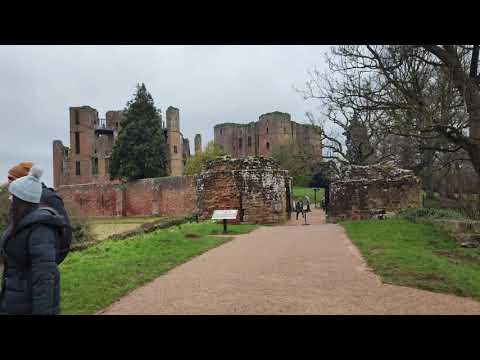
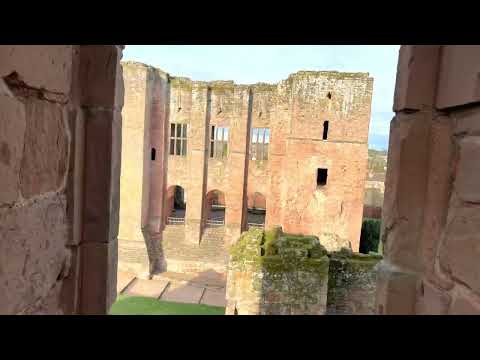
Kenilworth Castle

Kenilworth Castle is a castle in the town of Kenilworth in Warwickshire, England, managed by English Heritage; much of it is still in ruins. The castle...

Beausale

Beausale is a hamlet and former civil parish, now in the parish of Beausale, Haseley, Honiley and Wroxall, in the Warwick district of Warwickshire, England...
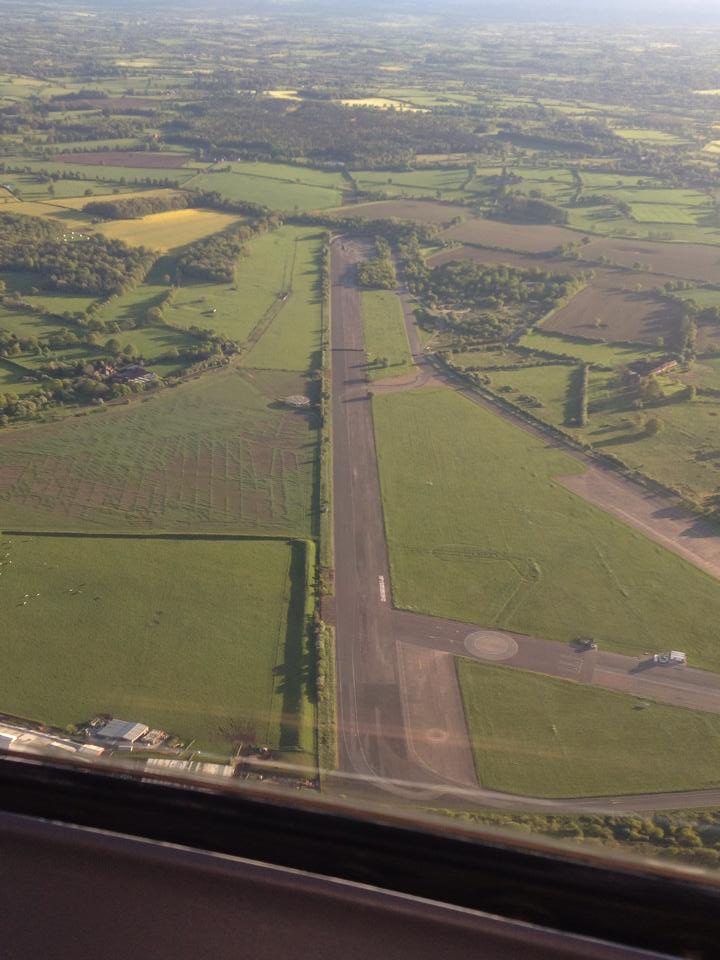
RAF Honiley

Royal Air Force Honiley or RAF Honiley is a former Royal Air Force station located in Wroxall, Warwickshire, 7 miles (11 km) southwest of Coventry, England...

St Mary's Abbey, Kenilworth

The remains of St Mary's Abbey, of Kenilworth, Warwickshire, England are situated in the grounds of St Nicholas' Church and in an adjacent area of Abbey...

Abbey Fields

Abbey Fields is a 68-acre (28 ha) park that is found in the centre of Kenilworth, Warwickshire, England. The park was once farmland belonging to St Mary...

Related Videos

Medieval Castle || Kenilworth Castle and Gardens || Family Travel VLOG

Join us on our first tour of an English castle. We took the family to see the historic Kenilworh Castle and Elizabethan Garden in ...

Kenilworth Castle

A walk around KENILWORTH CASTLE, lovely .

2024.01.14 Lovely visit to Kenilworth Castle, Warwickshire, UK

Irene and Dave enjoy a lovely visit to Kenilworth Castle, Warwickshire, UK.

Kenilworth Video No 2 , enjoy.

More of our day at Kenilworth, a lovely place worth a visit.

Nearby Amenities

Located within 500m of 52.352661,-1.6247188
Location Transition: yes
Operator: National Grid Electricity Distribution
Operator Wikidata: Q7988183
Power: pole
Lat/Long: 52.3537552/-1.6317661
Operator: National Grid Electricity Distribution
Operator Wikidata: Q7988183
Power: pole
Lat/Long: 52.3540435/-1.6299489
Operator: National Grid Electricity Distribution
Operator Wikidata: Q7988183
Power: pole
Lat/Long: 52.3542254/-1.6285086
Operator: National Grid Electricity Distribution
Operator Wikidata: Q7988183
Power: pole
Lat/Long: 52.3544466/-1.6268188
Operator: National Grid Electricity Distribution
Operator Wikidata: Q7988183
Power: pole
Lat/Long: 52.3546595/-1.6252551
Operator: National Grid Electricity Distribution
Operator Wikidata: Q7988183
Power: pole
Lat/Long: 52.3548528/-1.6236055
Operator: National Grid Electricity Distribution
Operator Wikidata: Q7988183
Power: pole
Lat/Long: 52.3548856/-1.6223449
Operator: National Grid Electricity Distribution
Operator Wikidata: Q7988183
Power: pole
Lat/Long: 52.3549331/-1.6207087
Operator: National Grid Electricity Distribution
Operator Wikidata: Q7988183
Power: pole
Lat/Long: 52.3549593/-1.6194481
The data included in this document is from www.openstreetmap.org. The data is made available under ODbL.

Have you been to Chase Wood?

Leave your review of Chase Wood below (or comments, questions and feedback).