Smokeway Copse
Wood, Forest in Wiltshire
England
Smokeway Copse

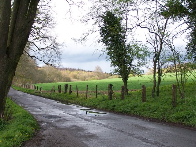
Smokeway Copse is a picturesque woodland located in the county of Wiltshire, England. Covering an area of approximately 50 acres, it is a popular destination for nature enthusiasts and hikers alike. The copse is situated near the small village of Smokeway, which it takes its name from.
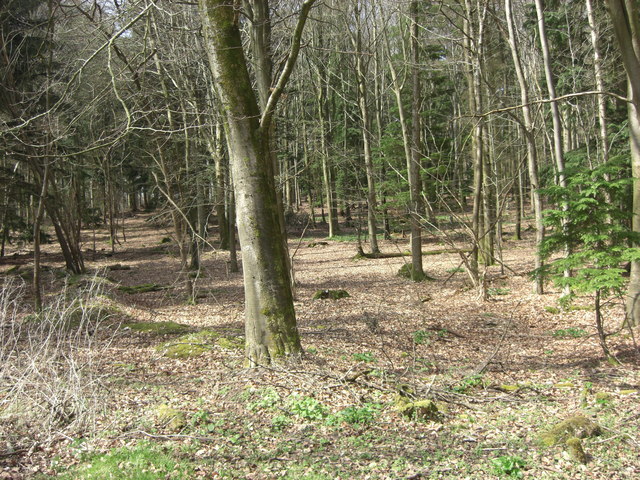
This woodland is primarily composed of deciduous trees, such as oak, beech, and ash, creating a diverse and vibrant canopy. The forest floor is adorned with a rich carpet of ferns, bluebells, and other wildflowers, adding to the beauty of the landscape. The copse is also home to a variety of wildlife, including deer, foxes, badgers, and a plethora of bird species.
A network of well-maintained trails winds through Smokeway Copse, allowing visitors to explore its natural wonders. These paths offer breathtaking views of the surrounding countryside and provide an opportunity to immerse oneself in the tranquility of the forest. Additionally, there are several seating areas and picnic spots strategically placed throughout the copse, encouraging visitors to relax and enjoy the peaceful ambiance.
Smokeway Copse is well-known for its vibrant autumn colors, attracting numerous visitors during this season. The trees transform into a stunning array of reds, oranges, and yellows, creating a picturesque spectacle. This, combined with the crisp air and the gentle rustling of leaves, makes autumn the ideal time to visit this woodland gem.
Overall, Smokeway Copse offers a serene and enchanting experience for those seeking solace in nature. Its natural beauty, diverse ecosystem, and accessibility make it a cherished destination for both locals and tourists alike.
If you have any feedback on the listing, please let us know in the comments section below.
Smokeway Copse Images
Images are sourced within 2km of 51.079427/-1.6352473 or Grid Reference SU2531. Thanks to Geograph Open Source API. All images are credited.


Smokeway Copse is located at Grid Ref: SU2531 (Lat: 51.079427, Lng: -1.6352473)
Unitary Authority: Wiltshire
Police Authority: Wiltshire
What 3 Words
///vegetable.trifle.grower. Near Middle Winterslow, Wiltshire
Nearby Locations
Related Wikis
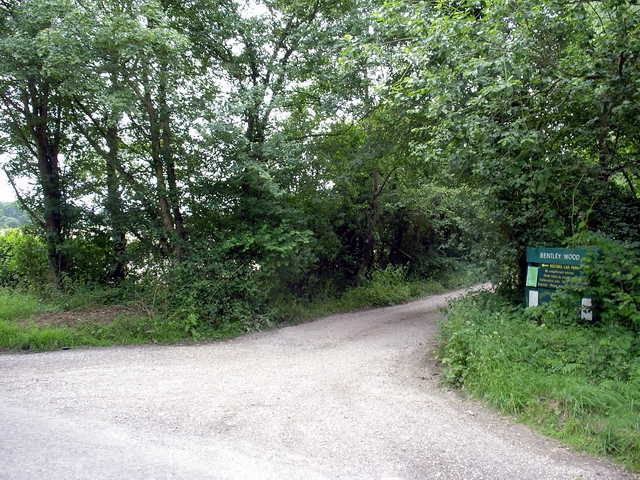
Bentley Wood
Bentley Wood (grid reference SU250295), together with the adjacent Blackmoor Copse, form one of the largest contiguous areas of woodland in Wiltshire,...

West Tytherley
West Tytherley is a village and civil parish in the Test Valley district of Hampshire, England. Its nearest town is Stockbridge, which lies approximately...

Buckholt, Hampshire
Buckholt is a hamlet and civil parish in the Test Valley district of Hampshire, England, close to the border with Wiltshire. According to the 2001 census...
Winterslow
Winterslow is a civil parish with a population of around 2,000, about 6 miles (10 km) northeast of Salisbury in Wiltshire, England, and lying south of...
Nearby Amenities
Located within 500m of 51.079427,-1.6352473Have you been to Smokeway Copse?
Leave your review of Smokeway Copse below (or comments, questions and feedback).