Stripe Wood

Wood, Forest in Yorkshire Harrogate

England

Stripe Wood

Farmland near Moor Lane Farm Viewed from Sawley Moor Lane.
Farmland near Moor Lane Farm Credit: DS Pugh

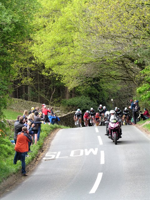
Stripe Wood is a picturesque woodland located in the county of Yorkshire, England. Situated in the heart of the countryside, it covers an area of approximately 100 hectares and is home to a diverse range of plant and animal species. The wood is renowned for its stunning natural beauty and tranquil atmosphere, making it a popular destination for nature enthusiasts and walkers.

The woodland is characterized by its distinct striping pattern, which is created by the interplay of different tree species. The most prominent trees in Stripe Wood are the oak, beech, and birch, which together form a striking contrast of colors. In spring, the woodland floor is carpeted with a multitude of wildflowers, including bluebells, primroses, and wood anemones, creating a vibrant and enchanting scene.

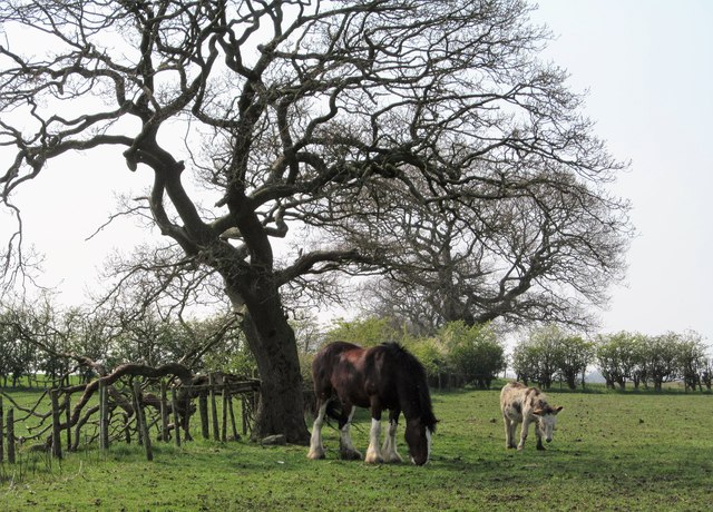
The wood provides a habitat for a variety of wildlife, including deer, squirrels, and a wide range of bird species. Many nature lovers visit Stripe Wood for birdwatching, as it is home to several rare and endangered species, such as the pied flycatcher and redstart.

For visitors wishing to explore the wood, there are well-maintained footpaths and trails that meander through the trees, offering stunning views of the surrounding countryside. The wood is also equipped with picnic areas and benches, providing a perfect spot for families and friends to relax and enjoy the peaceful surroundings.

Overall, Stripe Wood is a hidden gem in Yorkshire, offering a haven of natural beauty and tranquility. Whether it's a leisurely stroll, birdwatching, or simply enjoying a picnic amidst the stunning scenery, visitors are sure to find solace and serenity in this enchanting woodland.

If you have any feedback on the listing, please let us know in the comments section below.

Stripe Wood Images

Images are sourced within 2km of 54.087323/-1.6092382 or Grid Reference SE2565. Thanks to Geograph Open Source API. All images are credited.

Farmland near Moor Lane Farm Viewed from Sawley Moor Lane.
Farmland near Moor Lane Farm
Viewed from Sawley Moor Lane.
Towards Sawley Looking along Middycar Bank at the junction with Sawley Moor Lane.
Towards Sawley
Looking along Middycar Bank at the junction with Sawley Moor Lane.
Middycar Bank Looking along the treelined road to Sawley.
Middycar Bank
Looking along the treelined road to Sawley.
Farmland near Green Bank Wood Looking across Fountains Park towards The Dean.
Farmland near Green Bank Wood
Looking across Fountains Park towards The Dean.
Here comes the peloton The final few miles of stage two of the 'Tour de Yorkshire' of 2017 and the peloton has swept up any breakaway riders from earlier in the day. At this point there is still some 10 miles left before the finish in Harrogate and the riders have just ascended a short but steep bank up from Hebden Gill.
Here comes the peloton
The final few miles of stage two of the 'Tour de Yorkshire' of 2017 and the peloton has swept up any breakaway riders from earlier in the day. At this point there is still some 10 miles left before the finish in Harrogate and the riders have just ascended a short but steep bank up from Hebden Gill.
Tour de Yorkshire 2017 The riders in the peloton reach the top of the short but steep Hebden Gill Bank as they race the final 10 miles or so of stage two from Tadcaster to Harrogate. This race, now into its third year, is becoming ever more popular, both with professional teams and with spectators, an estimated 2.2 million watching the race over some of Yorkshire's most testing roads over the three days.
Tour de Yorkshire 2017
The riders in the peloton reach the top of the short but steep Hebden Gill Bank as they race the final 10 miles or so of stage two from Tadcaster to Harrogate. This race, now into its third year, is becoming ever more popular, both with professional teams and with spectators, an estimated 2.2 million watching the race over some of Yorkshire's most testing roads over the three days.
Watergate Road Looking along Watergate Road towards the hill up to Barkhouse Bank.
Watergate Road
Looking along Watergate Road towards the hill up to Barkhouse Bank.
Barkhouse Bank Looking along Barkhouse Bank from the junction with Watergate Road.
Barkhouse Bank
Looking along Barkhouse Bank from the junction with Watergate Road.
Old Wayside Cross north of Green Lane, Sawley parish Lacon Cross, old shaft and base, by the wayside, in parish of Sawley (Harrogate District), in field to North of Green Lane.

Grade II listed.
List Entry Number: 1262747 <span class="nowrap"><a title="https://historicengland.org.uk/listing/the-list/list-entry/1262747" rel="nofollow ugc noopener" href="https://historicengland.org.uk/listing/the-list/list-entry/1262747">Link</a><img style="margin-left:2px;" alt="External link" title="External link - shift click to open in new window" src="https://s1.geograph.org.uk/img/external.png" width="10" height="10"/></span>

To be surveyed

Milestone Society National ID: YNHG_SAW
Old Wayside Cross north of Green Lane, Sawley parish
Lacon Cross, old shaft and base, by the wayside, in parish of Sawley (Harrogate District), in field to North of Green Lane. Grade II listed. List Entry Number: 1262747 LinkExternal link To be surveyed Milestone Society National ID: YNHG_SAW
Former St John's Church, Bishop Thornton The tower and graveyard are all that remain of the original parish church at Bishop Thornton. I have never quite understood the siting of this church which is half a mile from the village across clay fields which are often muddy and waterlogged. There is no access for vehicles and the bridleway from the village is only paved in a few places. The tower dates from 1825 and the majority of graves are 19thC.
Former St John's Church, Bishop Thornton
The tower and graveyard are all that remain of the original parish church at Bishop Thornton. I have never quite understood the siting of this church which is half a mile from the village across clay fields which are often muddy and waterlogged. There is no access for vehicles and the bridleway from the village is only paved in a few places. The tower dates from 1825 and the majority of graves are 19thC.
Path to Bishop Thornton Field path heading south towards Bishop Thornton from Raventofts Hall.
Path to Bishop Thornton
Field path heading south towards Bishop Thornton from Raventofts Hall.
Big horse with small friend A fine carthorse with a donkey for a friend near Bishop Thornton.
Big horse with small friend
A fine carthorse with a donkey for a friend near Bishop Thornton.
Feeling the heat Sheep sheltering in the shade of a hedge on a warm April day.
Feeling the heat
Sheep sheltering in the shade of a hedge on a warm April day.
Butterton Bridge Medieval stone bridge in Picking Gill erected by Fountains Abbey on one of their routes to Nidderdale and Craven.
Butterton Bridge
Medieval stone bridge in Picking Gill erected by Fountains Abbey on one of their routes to Nidderdale and Craven.
Monks once passed this way A green path now crosses the ancient Butterton Bridge on a path which is now little used, but 600 years ago this would have been on an important route from Fountains Abbey to its granges in Nidderdale as well as an iron works at Smelthouses. Much of the route is now lost, but the path that ascends through Booth Wood is part paved with gritstone slabs, whilst a short distance to the east Lacon Cross acts as a waymarker on the same route.
Monks once passed this way
A green path now crosses the ancient Butterton Bridge on a path which is now little used, but 600 years ago this would have been on an important route from Fountains Abbey to its granges in Nidderdale as well as an iron works at Smelthouses. Much of the route is now lost, but the path that ascends through Booth Wood is part paved with gritstone slabs, whilst a short distance to the east Lacon Cross acts as a waymarker on the same route.
Butterton Bridge - close up The close up view shows the ribbed arches of this fine medieval bridge, which according to an architectural & ecological survey of 2004 could be of 12th or 13th century date. Finding information about the bridge isn't that easy. It doesn't appear on the North Yorkshire register of listed buildings, whilst there is only a brief mention on the English Heritage 'Heritage at Risk' listing. A recent comment on the Historic England website reads 'The structure is overgrown and decaying, and there is danger of structural collapse. The bridge is now under new ownership', whilst English Heritage gives the bridge a 'priority C' status indicating slow decay and no solution agreed. It would be a terrible shame if this ancient bridge was allowed to collapse as it is of great historical value. It would appear that bats use the crevices under and around the bridge for roosting, which complicates any repair work.
Butterton Bridge - close up
The close up view shows the ribbed arches of this fine medieval bridge, which according to an architectural & ecological survey of 2004 could be of 12th or 13th century date. Finding information about the bridge isn't that easy. It doesn't appear on the North Yorkshire register of listed buildings, whilst there is only a brief mention on the English Heritage 'Heritage at Risk' listing. A recent comment on the Historic England website reads 'The structure is overgrown and decaying, and there is danger of structural collapse. The bridge is now under new ownership', whilst English Heritage gives the bridge a 'priority C' status indicating slow decay and no solution agreed. It would be a terrible shame if this ancient bridge was allowed to collapse as it is of great historical value. It would appear that bats use the crevices under and around the bridge for roosting, which complicates any repair work.
Picking Gill The private track [Sawley Estate] along Picking Gill as seen from the point where the public footpath crosses it. Picking Gill is a steep sided valley quite out of proportion to the small stream which runs along it. Like several other valleys on the eastern flanks of the Pennines in this area it has been over deepened by glacial meltwaters coursing around the margins of the ice sheets that once filled the nearby Vale of York. This particular valley is likely to be a southward extension of that which curves around the Eavestone Lake a mile to the NW. A mere dip in the B6265 road close by its junction with Sawley Moor Lane soon develops into a steep sided little valley which heads down past this point. The valley contains mixed woodland and some specimen trees planted by 19thC landowners.
Picking Gill
The private track [Sawley Estate] along Picking Gill as seen from the point where the public footpath crosses it. Picking Gill is a steep sided valley quite out of proportion to the small stream which runs along it. Like several other valleys on the eastern flanks of the Pennines in this area it has been over deepened by glacial meltwaters coursing around the margins of the ice sheets that once filled the nearby Vale of York. This particular valley is likely to be a southward extension of that which curves around the Eavestone Lake a mile to the NW. A mere dip in the B6265 road close by its junction with Sawley Moor Lane soon develops into a steep sided little valley which heads down past this point. The valley contains mixed woodland and some specimen trees planted by 19thC landowners.
Lacon Cross Medieval wayside cross base and shaft probably of 14thC date marking one route from Fountains Abbey towards Butterton Bridge and onwards to abbey granges around Nidderdale as well as an iron smelting site at Smelthouses. The cross has long since disappeared, whilst a local inhabitant suggested that there might be some sort of grisly history associated with the cross. As yet I've not found any evidence of foul murders or robberies.
Lacon Cross
Medieval wayside cross base and shaft probably of 14thC date marking one route from Fountains Abbey towards Butterton Bridge and onwards to abbey granges around Nidderdale as well as an iron smelting site at Smelthouses. The cross has long since disappeared, whilst a local inhabitant suggested that there might be some sort of grisly history associated with the cross. As yet I've not found any evidence of foul murders or robberies.
Show me another place!

Stripe Wood is located at Grid Ref: SE2565 (Lat: 54.087323, Lng: -1.6092382)

Division: West Riding

Administrative County: North Yorkshire

District: Harrogate

Police Authority: North Yorkshire

What 3 Words

///initiates.overlaps.marker. Near Ripon, North Yorkshire

Nearby Locations

Stripe Wood

Related Wikis

Sawley, North Yorkshire

Sawley is a village and civil parish in the Harrogate district of North Yorkshire, England. It is about 4 miles (6.4 km) west of Ripon. From this position...

Bishop Thornton

Bishop Thornton is a village in the civil parish of Bishop Thornton, Shaw Mills and Warsill, in the Harrogate district of North Yorkshire, England. According...

Warsill

Warsill is a settlement and civil parish in the Harrogate district, in the county of North Yorkshire, England. It consists of a few scattered farms 5 miles...

Fountains Hall

Fountains Hall is a country house near Ripon in North Yorkshire, England, located within the World Heritage Site at Studley Royal Park which include the...

Nearby Amenities

Located within 500m of 54.087323,-1.6092382
Power: pole
Lat/Long: 54.0841114/-1.6052726
Power: pole
Lat/Long: 54.0847628/-1.6053852
Power: pole
Lat/Long: 54.0854078/-1.6055059
Power: pole
Lat/Long: 54.0860875/-1.6056079
Power: pole
Lat/Long: 54.0865501/-1.6057098
Power: pole
Lat/Long: 54.0872643/-1.6058359
Power: pole
Lat/Long: 54.0886708/-1.6059405
Power: pole
Lat/Long: 54.0895471/-1.6059458
Power: pole
Lat/Long: 54.0904202/-1.6057634
The data included in this document is from www.openstreetmap.org. The data is made available under ODbL.

Have you been to Stripe Wood?

Leave your review of Stripe Wood below (or comments, questions and feedback).