Langthorn Wood

Wood, Forest in Yorkshire Hambleton

England

Langthorn Wood

Bedale Beck at Crakehall Footbridge over Bedale Beck near the nineteenth century, Grade II-listed Little Crakehall Bridge which is on the right-hand side.
Bedale Beck at Crakehall Credit: David Dixon

Langthorn Wood is a picturesque forest located in the county of Yorkshire in northern England. Spread over an expansive area of land, the wood is nestled within the idyllic landscape of the Yorkshire Dales National Park. Its geographical coordinates are approximately 54.091°N latitude and 1.899°W longitude.

The wood is characterized by its diverse range of flora and fauna, making it an important habitat for various species. The forest is predominantly composed of deciduous trees, such as oak, beech, and ash, which create a dense canopy that provides shade and shelter. Beneath the towering trees, a carpet of bluebells, ferns, and wildflowers adds a burst of color to the woodland floor, especially during the spring season.

Langthorn Wood is crisscrossed by a network of walking trails, making it a popular destination for outdoor enthusiasts and nature lovers. These trails offer visitors the opportunity to explore the wood's natural beauty at their own pace, immersing themselves in the tranquil surroundings. The wood is also home to various wildlife, including deer, squirrels, and a wide array of bird species, making it a haven for birdwatchers and wildlife photographers.

Notably, Langthorn Wood offers a sense of tranquility and escape from the hustle and bustle of city life. Its pristine and untouched environment allows visitors to connect with nature, unwind, and experience a true sense of peace and serenity.

If you have any feedback on the listing, please let us know in the comments section below.

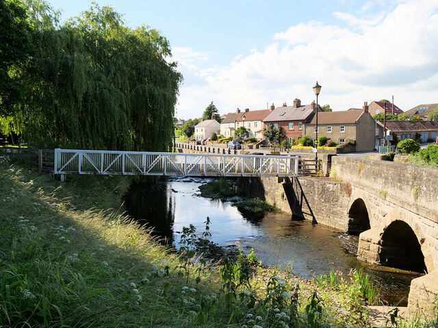
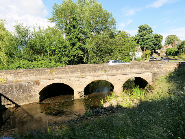
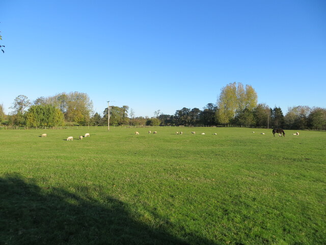
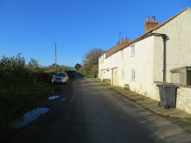
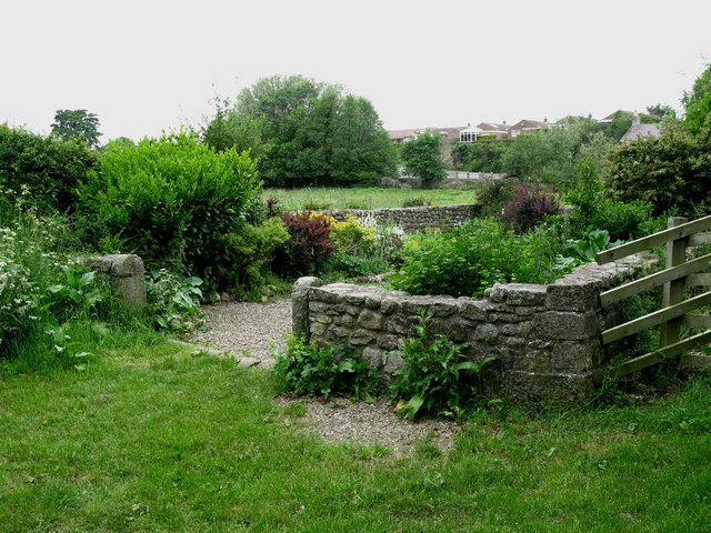
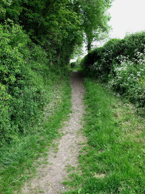
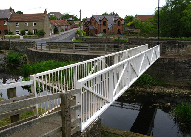
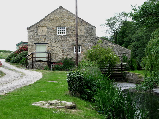
Langthorn Wood Images

Images are sourced within 2km of 54.29965/-1.6115649 or Grid Reference SE2589. Thanks to Geograph Open Source API. All images are credited.

Bedale Beck at Crakehall Footbridge over Bedale Beck near the nineteenth century, Grade II-listed Little Crakehall Bridge which is on the right-hand side.
Bedale Beck at Crakehall
Footbridge over Bedale Beck near the nineteenth century, Grade II-listed Little Crakehall Bridge which is on the right-hand side.
Little Crakehall Bridge Three-arched road bridge dated 1829 carrying the A684 across Bedale Beck at Crakehall. The bridge is a Grade II listed building (List Entry No:1315139 <span class="nowrap"><a title="https://historicengland.org.uk/listing/the-list/list-entry/1315139" rel="nofollow ugc noopener" href="https://historicengland.org.uk/listing/the-list/list-entry/1315139">Link</a><img style="margin-left:2px;" alt="External link" title="External link - shift click to open in new window" src="https://s1.geograph.org.uk/img/external.png" width="10" height="10"/></span> Historic England).
Little Crakehall Bridge
Three-arched road bridge dated 1829 carrying the A684 across Bedale Beck at Crakehall. The bridge is a Grade II listed building (List Entry No:1315139 LinkExternal link Historic England).
Grazing pasture being used by sheep and a horse Looking northward from the Crakehall to Kirkbridge road.
Grazing pasture being used by sheep and a horse
Looking northward from the Crakehall to Kirkbridge road.
Minor road and cottages at Kirkbridge Looking westward.
Minor road and cottages at Kirkbridge
Looking westward.
Crakehall, west end The main A684 road running west out of Crakehall
Crakehall, west end
The main A684 road running west out of Crakehall
Crakehall Hall This massive 18th century house dominates the village green in Crakehall. <span class="nowrap"><a title="http://www.crakehall.org.uk/index.html" rel="nofollow ugc noopener" href="http://www.crakehall.org.uk/index.html">Link</a><img style="margin-left:2px;" alt="External link" title="External link - shift click to open in new window" src="https://s1.geograph.org.uk/img/external.png" width="10" height="10"/></span>
Crakehall Hall
This massive 18th century house dominates the village green in Crakehall. LinkExternal link
Kirkbridge, near Crakehall
Ings Lane Giving access to the Crakehall Ings, an area of drained watermeadow land north of Bedale.
Ings Lane
Giving access to the Crakehall Ings, an area of drained watermeadow land north of Bedale.
Cricket on the green The idyllic English scene with a cricket match on the green in front of the 'big house' [Crakehall Hall]. One could almost sit back and enjoy, with a pint of real ale to hand.
Cricket on the green
The idyllic English scene with a cricket match on the green in front of the 'big house' [Crakehall Hall]. One could almost sit back and enjoy, with a pint of real ale to hand.
Crakehall Pinfold Along Back Lane to the south of Bedale Beck.
Crakehall Pinfold
Along Back Lane to the south of Bedale Beck.
Crakehall Back Lane Runs from Crakehall Bridge past New Village Farm and on to Sinks Lane.
Crakehall Back Lane
Runs from Crakehall Bridge past New Village Farm and on to Sinks Lane.
Crakehall Footbridge Looking across Bedale Beck towards Little Crakehall.
Crakehall Footbridge
Looking across Bedale Beck towards Little Crakehall.
Crakehall Water Mill This corn mill is mentioned in the Domesday Book.
Crakehall Water Mill
This corn mill is mentioned in the Domesday Book.
Crakehall Primitive Methodist Chapel Much altered since it was built in 1897.
Crakehall Primitive Methodist Chapel
Much altered since it was built in 1897.
Bedale Beck The weir still diverts water towards Crakehall Water Mill.
Bedale Beck
The weir still diverts water towards Crakehall Water Mill.
Crakehall Bridge Carries the A684 over Bedale Beck at Crakehall.
Crakehall Bridge
Carries the A684 over Bedale Beck at Crakehall.
Crakehall Cricket Pavilion On the village Green.
Crakehall Cricket Pavilion
On the village Green.
Crakehall Bridges View from Back Lane across Bedale Beck.
Crakehall Bridges
View from Back Lane across Bedale Beck.
Show me another place!

Langthorn Wood is located at Grid Ref: SE2589 (Lat: 54.29965, Lng: -1.6115649)

Division: North Riding

Administrative County: North Yorkshire

District: Hambleton

Police Authority: North Yorkshire

What 3 Words

///chatting.wriggle.exclusive. Near Bedale, North Yorkshire

Related Wikis

Rand Grange

Rand Grange is a civil parish in the Hambleton District of North Yorkshire, England. It is a very small parish, consisting of a single farmhouse and surrounding...

Crakehall

Crakehall is a village and civil parish in the Hambleton District of North Yorkshire, England, approximately 2 miles (3 km) west of Bedale. More known...

Crakehall railway station

Crakehall railway station was a railway station that served the village of Crakehall, North Yorkshire, England. == History == Opened by the Bedale and...

Church of St Gregory, Bedale

The Church of St Gregory, Bedale is the parish church for the town of Bedale in North Yorkshire, England. It is the main church of the benefice of Bedale...

Bedale Hall

Bedale Hall is a Grade I listed Palladian-style country house in the town of Bedale, North Yorkshire, England. It is a large two-storey house constructed...

Bedale Hoard

The Bedale Hoard is a hoard of forty-eight silver and gold items dating from the late 9th to early 10th centuries AD and includes necklaces, arm-bands...

Bedale Leech House

This late Georgian Bedale Leech House in Bedale, North Yorkshire, England, is a unique example of a building constructed to keep live medicinal leeches...

Bedale

Bedale ( BEE-dayl), is a market town and civil parish in North Yorkshire, England. Historically part of the North Riding of Yorkshire, it is 34 miles...

Nearby Amenities

Located within 500m of 54.29965,-1.6115649
Image: https://www.geograph.org.uk/photo/7268171
Railway: crossing
Lat/Long: 54.2981363/-1.6097975
Power: pole
Lat/Long: 54.2980703/-1.6048871
Power: pole
Lat/Long: 54.3001234/-1.6086139
Power: pole
Lat/Long: 54.2995003/-1.607476
Power: pole
Lat/Long: 54.2988672/-1.6063304
Power: pole
Lat/Long: 54.2984643/-1.6055964
White Cross
Historic: wayside_cross
Image: https://www.geograph.org.uk/photo/7268171
Religion: christian
Wikidata: Q26443709
Lat/Long: 54.2985371/-1.6184315
Power: pole
Lat/Long: 54.3019181/-1.6171642
Power: pole
Lat/Long: 54.3015906/-1.6158844
Power: pole
Lat/Long: 54.3012512/-1.6145955
Power: pole
Lat/Long: 54.3008678/-1.6131447
Power: pole
Lat/Long: 54.3005976/-1.6115775
Power: pole
Lat/Long: 54.3036125/-1.6146754
Power: pole
Lat/Long: 54.3024691/-1.6146411
Power: pole
Lat/Long: 54.3018369/-1.6146138
The data included in this document is from www.openstreetmap.org. The data is made available under ODbL.

Have you been to Langthorn Wood?

Leave your review of Langthorn Wood below (or comments, questions and feedback).