Cushat Wood
Wood, Forest in Northumberland
England
Cushat Wood

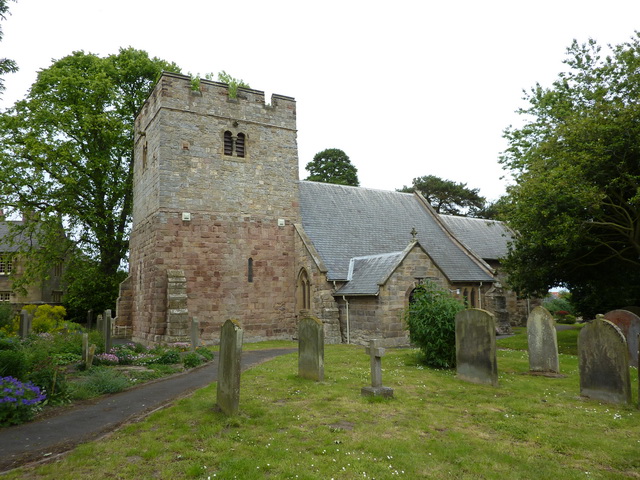
Cushat Wood is a picturesque forest located in the county of Northumberland, England. Covering an area of approximately 500 acres, this woodland is a haven for nature enthusiasts and outdoor lovers. The wood is situated near the village of Blanchland, surrounded by rolling hills and scenic landscapes.
Cushat Wood is mainly comprised of mixed deciduous trees, including oak, birch, and beech, creating a diverse and vibrant ecosystem. The forest floor is adorned with a carpet of bluebells during the spring season, adding to its beauty and charm. The wood is also home to a variety of wildlife, including birds such as woodpeckers, owls, and warblers, as well as mammals like deer and squirrels.
The wood offers a network of well-maintained footpaths and trails, allowing visitors to explore its tranquil surroundings at their own pace. These paths wind through the trees, offering glimpses of the wildlife and providing opportunities for peaceful walks and birdwatching. The wood is particularly popular among hikers and dog walkers, who appreciate its serene atmosphere and natural beauty.
In addition to its natural attractions, Cushat Wood also boasts historical significance. The remnants of Blanchland Abbey, a former abbey dating back to the 12th century, can be found on the edge of the woodland. This adds an element of historical interest to the area, attracting history enthusiasts and those interested in medieval architecture.
Overall, Cushat Wood in Northumberland is a captivating destination for those seeking a tranquil escape in the midst of nature. Its diverse flora and fauna, scenic trails, and historical remnants make it a must-visit location for nature lovers and history enthusiasts alike.
If you have any feedback on the listing, please let us know in the comments section below.
Cushat Wood Images
Images are sourced within 2km of 55.440045/-1.600546 or Grid Reference NU2516. Thanks to Geograph Open Source API. All images are credited.


Cushat Wood is located at Grid Ref: NU2516 (Lat: 55.440045, Lng: -1.600546)
Unitary Authority: Northumberland
Police Authority: Northumbria
What 3 Words
///postings.represent.live. Near Longhoughton, Northumberland
Nearby Locations
Related Wikis
Longhoughton
Longhoughton is a small rural village in Northumberland, England. It lies near the coast, about 4.5 miles (7.2 km) northeast of Alnwick, in the similarly...
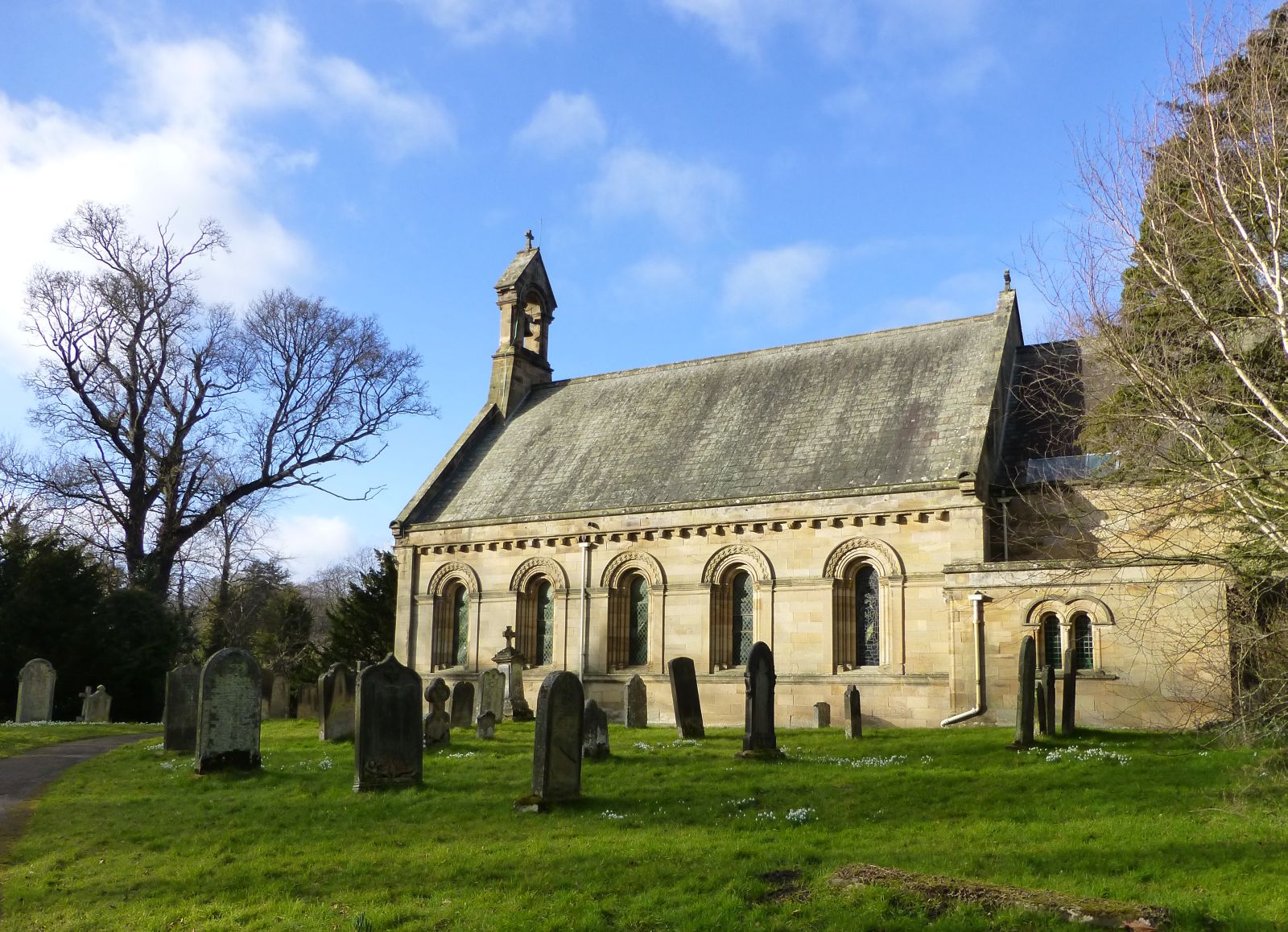
St Michael and All Angels Church (Howick, Northumberland)
St Michael and All Angels Church is a Church of England parish church located within the grounds of the gardens of Howick Hall in the village of Howick...
Howick, Northumberland
Howick ( HOH-ik) is a village and former civil parish, now in the parish of Longhoughton, in Northumberland, England, between Boulmer and Craster. It is...

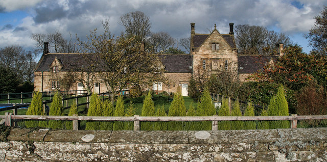
Howick Hall
Howick Hall, a Grade II* listed building in the village of Howick, Northumberland, England, is the ancestral seat of the Earls Grey. It was the home of...
Nearby Amenities
Located within 500m of 55.440045,-1.600546Have you been to Cushat Wood?
Leave your review of Cushat Wood below (or comments, questions and feedback).