Abyssinia Wood

Wood, Forest in Northumberland

England

Abyssinia Wood

Houses and trees near Middlesteads
Houses and trees near Middlesteads Credit: P Glenwright

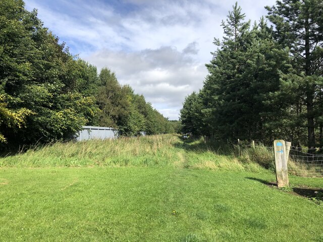
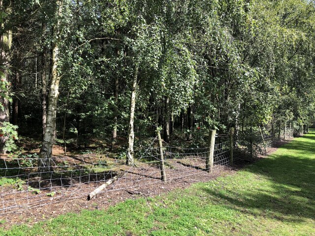
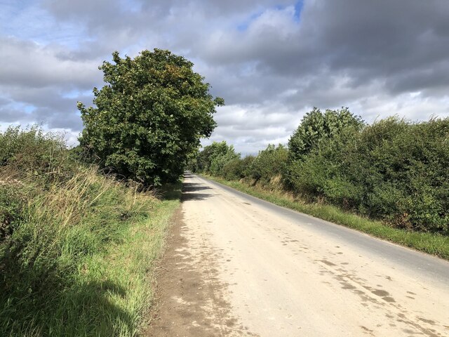
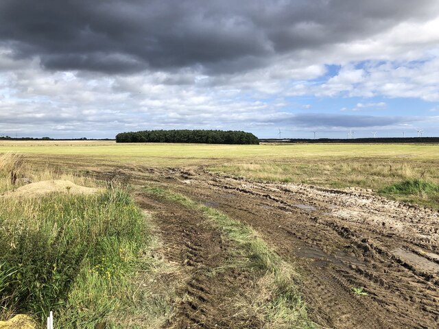
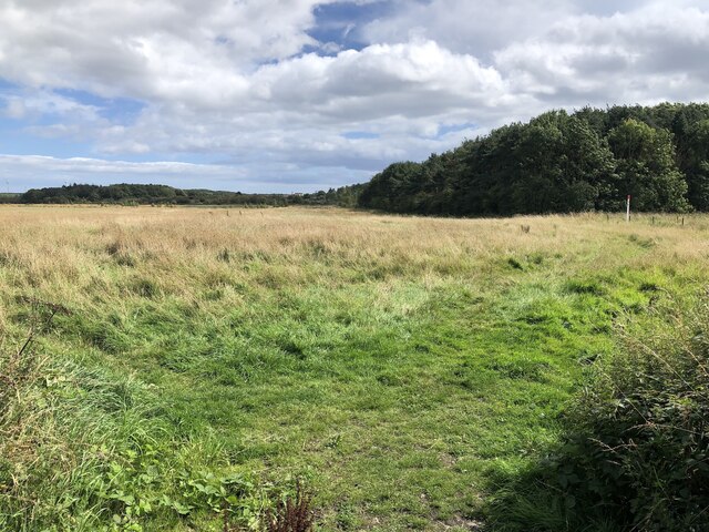
Abyssinia Wood is a picturesque forest located in the county of Northumberland, England. Covering an area of approximately 200 acres, this woodland is renowned for its natural beauty and diverse flora and fauna. Situated near the village of Wood, the forest offers a tranquil retreat for nature enthusiasts and avid walkers alike.

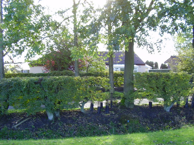
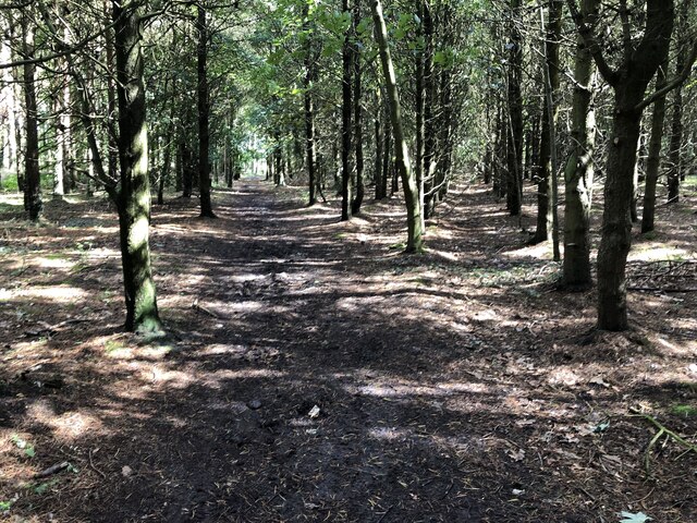
The woodland is primarily composed of mature oak and beech trees, which provide a dense canopy and create a haven for numerous bird species. Abyssinia Wood is particularly famous for its resident population of red squirrels, adding to its appeal as a wildlife hotspot. Visitors often spot these charming creatures darting among the trees, adding an element of excitement to their woodland exploration.

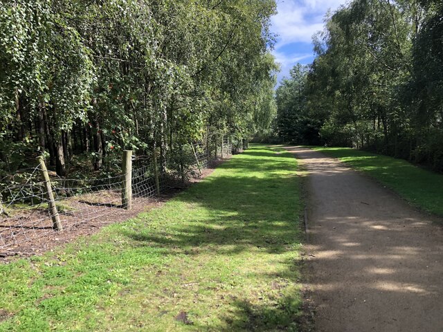
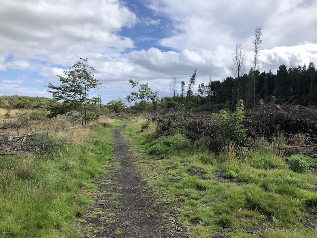
The forest is crisscrossed by a network of well-maintained footpaths, allowing visitors to explore its beauty at their own pace. These paths lead to various points of interest, including a small lake and a babbling brook, which further enhance the natural charm of the wood. In the springtime, the forest floor is carpeted with vibrant bluebells, creating a stunning visual display.

Abyssinia Wood is a popular destination for families, who can enjoy picnics in designated areas, as well as for photographers and artists seeking inspiration from the natural surroundings. The forest is also home to a small visitor center, where visitors can obtain information about the woodland's history, wildlife, and conservation efforts.

Overall, Abyssinia Wood in Northumberland is a captivating forest that offers a peaceful escape from the hustle and bustle of everyday life. Its diverse ecosystem, scenic trails, and abundance of wildlife make it a must-visit destination for nature enthusiasts and those seeking solace in the beauty of the great outdoors.

If you have any feedback on the listing, please let us know in the comments section below.

Abyssinia Wood Images

Images are sourced within 2km of 55.190205/-1.6090479 or Grid Reference NZ2488. Thanks to Geograph Open Source API. All images are credited.

Houses and trees near Middlesteads
Butterwell Disposal Point
Industrial buildings Butterwell Disposal Point
Level Crossing south of Crowden Hill
High Market, Ashington Parallel to where the miner's rows were at Ashington Colliery. There are still scattered retail outlets here but the main shopping action is in the tin sheds to the north on the site of the colliery.
High Market, Ashington
Parallel to where the miner's rows were at Ashington Colliery. There are still scattered retail outlets here but the main shopping action is in the tin sheds to the north on the site of the colliery.
Back of First Row Surviving miners' row in Ashington. The lines of houses to the north, where the colliery was, have since been replaced by modern housing.
Back of First Row
Surviving miners' row in Ashington. The lines of houses to the north, where the colliery was, have since been replaced by modern housing.
Forge Leisure, Ashington They make pool covers. The far building looks like a survivor from the Ashington Colliery which had a rail yard on this site.

This was taken in this area during the lifetime of the colliery: <a href="https://www.geograph.org.uk/photo/6441345">NZ2688 : Ashington Colliery, 1967</a>
Forge Leisure, Ashington
They make pool covers. The far building looks like a survivor from the Ashington Colliery which had a rail yard on this site. This was taken in this area during the lifetime of the colliery: NZ2688 : Ashington Colliery, 1967
Site of Ashington Colliery The woodland ride runs between a fenced off area of sports pitches (Rugby?) and the Wansbeck Industrial Park. To the north the site of the colliery bings is now a woodland. There are laid out paths with interpretation boards showing the site when it was a very productive colliery. <a href="https://www.geograph.org.uk/photo/6441345">NZ2688 : Ashington Colliery, 1967</a>
Site of Ashington Colliery
The woodland ride runs between a fenced off area of sports pitches (Rugby?) and the Wansbeck Industrial Park. To the north the site of the colliery bings is now a woodland. There are laid out paths with interpretation boards showing the site when it was a very productive colliery. NZ2688 : Ashington Colliery, 1967
Pithead site, Ashington Colliery Now woodland and a business park. <a href="https://www.geograph.org.uk/photo/6441345">NZ2688 : Ashington Colliery, 1967</a>
Pithead site, Ashington Colliery
Now woodland and a business park. NZ2688 : Ashington Colliery, 1967
Community Woodland, Ashington Passing Wansbeck Business Park. This was the site of the Ashington Colliery pit head.
Community Woodland, Ashington
Passing Wansbeck Business Park. This was the site of the Ashington Colliery pit head.
Empty car showroom, Morpeth Road, Ashington
Bean field near Ashington There has been a lot of recent open cast coal mining in this area, but little sign of it remains.
Bean field near Ashington
There has been a lot of recent open cast coal mining in this area, but little sign of it remains.
Bean field near Ashington There has been a lot of recent open cast coal mining in this area, but little sign of it remains.
Bean field near Ashington
There has been a lot of recent open cast coal mining in this area, but little sign of it remains.
No ifs or buts, road definitely open <a href="https://www.geograph.org.uk/photo/4483980">NZ2488 : No ifs or buts, road definitely closed!</a> a few years on after almost all trace of surface mining had been removed.
Today was a good one as the plague of road closures go - nothing encountered that was worse than a set of four way traffic lights.
No ifs or buts, road definitely open
NZ2488 : No ifs or buts, road definitely closed! a few years on after almost all trace of surface mining had been removed. Today was a good one as the plague of road closures go - nothing encountered that was worse than a set of four way traffic lights.
Site of the Potland Surface Mine Restored open cast near Ashington.
Site of the Potland Surface Mine
Restored open cast near Ashington.
Woodland path north of the Morpeth Road Woodland on the site of Ashington Colliery railway sidings.
Woodland path north of the Morpeth Road
Woodland on the site of Ashington Colliery railway sidings.
Site of Potland surface mine Restored opencast site.
Site of Potland surface mine
Restored opencast site.
Woodland near Ashington On the site of Ashington Colliery railway sidings.
Woodland near Ashington
On the site of Ashington Colliery railway sidings.
Show me another place!

Abyssinia Wood is located at Grid Ref: NZ2488 (Lat: 55.190205, Lng: -1.6090479)

Unitary Authority: Northumberland

Police Authority: Northumbria

What 3 Words

///bulge.earl.unspoiled. Near Pegswood, Northumberland

Nearby Locations

Abyssinia Wood

Related Wikis

Have you been to Abyssinia Wood?

Leave your review of Abyssinia Wood below (or comments, questions and feedback).