Mickley Wood

Wood, Forest in Yorkshire Harrogate

England

Mickley Wood

Hackfall Woods - the fountain at the fountain pond in full flow The Woodland Trust's 'Hackfall Walks' leaflet describes the fountain as follows - 'The fountain at the pond was originally created in 1756 as part of William Aislabie's master plan for Hackfall...... The fountain has now been restored using modern pipework and a gravity feed system filled from a natural spring on the hillside above. Once a certain water level is achieved in the system, a tumbler opens a valve and water flows to the fountain'. The Ruin folly can be seen on the skyline.
Hackfall Woods - the fountain at the fountain pond in full flow Credit: C P Smith

Mickley Wood is a picturesque woodland located in the county of Yorkshire, England. Covering an area of approximately 50 acres, it is a haven of natural beauty and tranquility. The wood is situated near the village of Mickley, nestled within the rolling hills and meadows of the Yorkshire countryside.

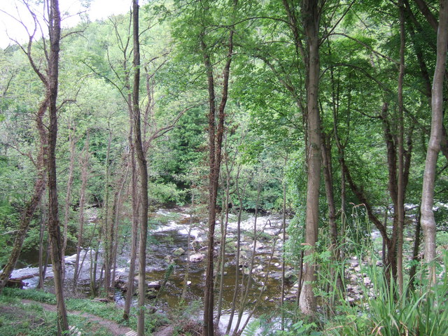
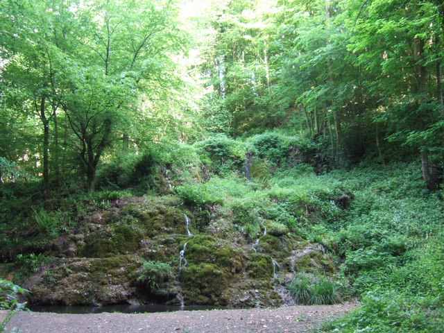
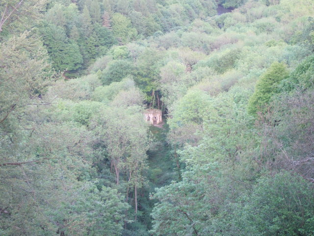
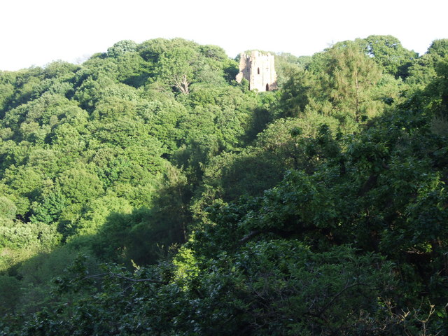
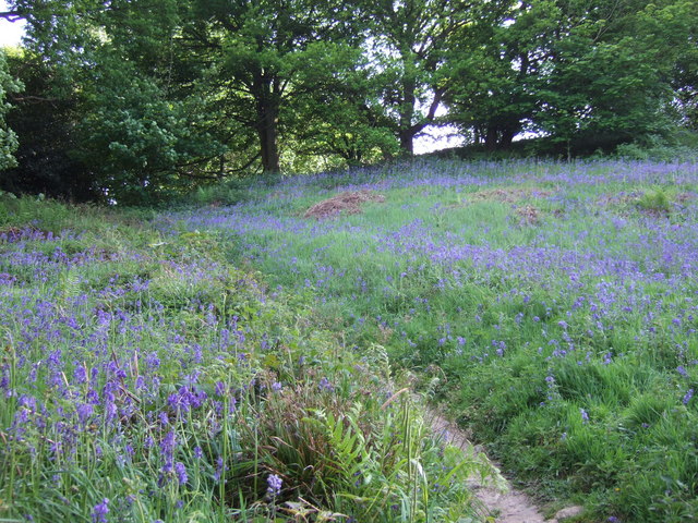
Mickley Wood is predominantly composed of deciduous trees, including oak, beech, and ash, which form a dense canopy overhead. The forest floor is blanketed with a colorful carpet of wildflowers, ferns, and mosses, creating a vibrant and enchanting atmosphere. The wood is also home to a diverse range of wildlife, including deer, squirrels, and a variety of bird species.

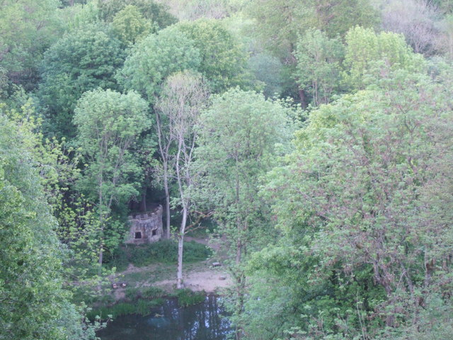
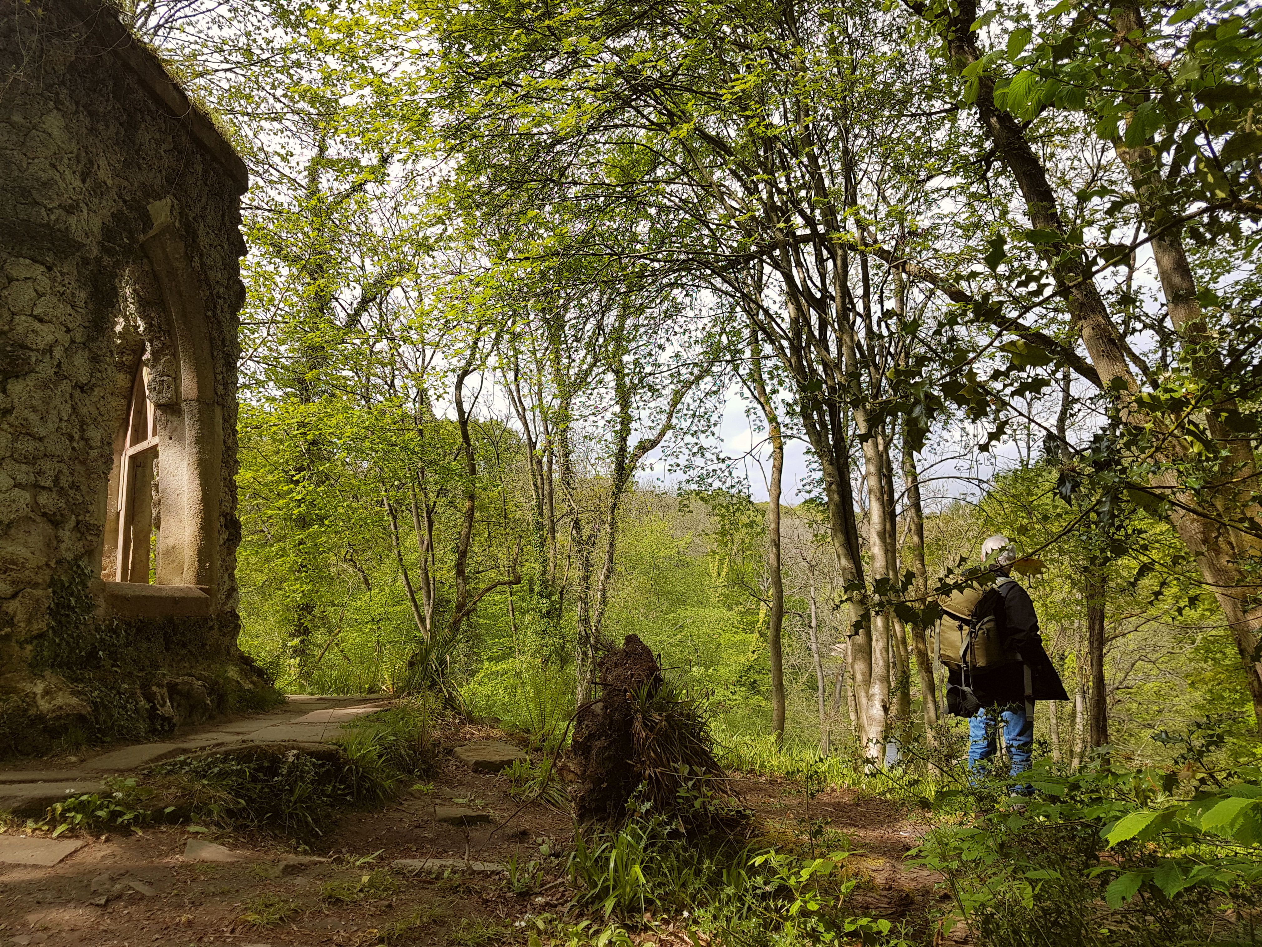
The woodland is crisscrossed with a network of well-maintained footpaths, allowing visitors to explore its natural wonders at their leisure. These paths meander through the trees, leading to secluded clearings and tranquil ponds, providing opportunities for peaceful reflection and observation of the surrounding nature.

Mickley Wood is a popular destination for nature enthusiasts, hikers, and photographers, offering endless opportunities for capturing the beauty of the Yorkshire landscape. Its serene ambiance makes it an ideal location for those seeking to escape the hustle and bustle of urban life and reconnect with nature.

In summary, Mickley Wood is a stunning woodland in Yorkshire, offering a serene escape into nature. With its diverse flora and fauna, well-maintained footpaths, and peaceful atmosphere, it is a must-visit destination for anyone seeking tranquility and natural beauty in the heart of England.

If you have any feedback on the listing, please let us know in the comments section below.
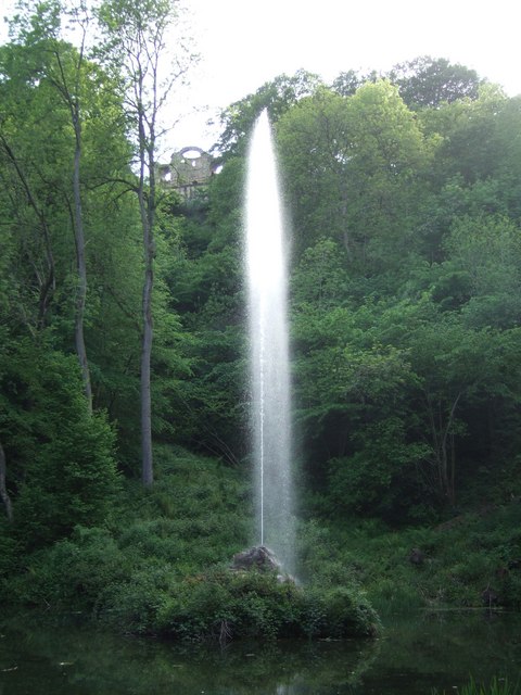
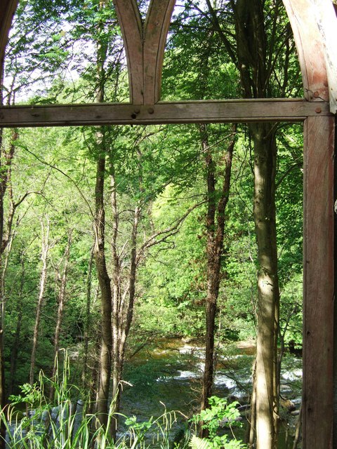
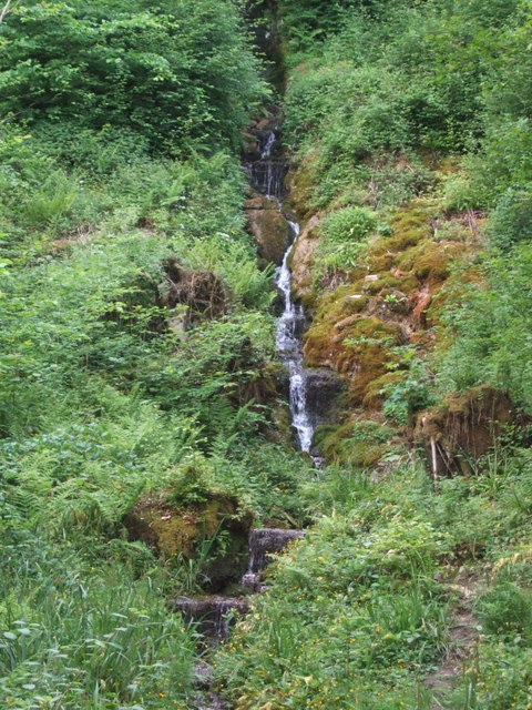
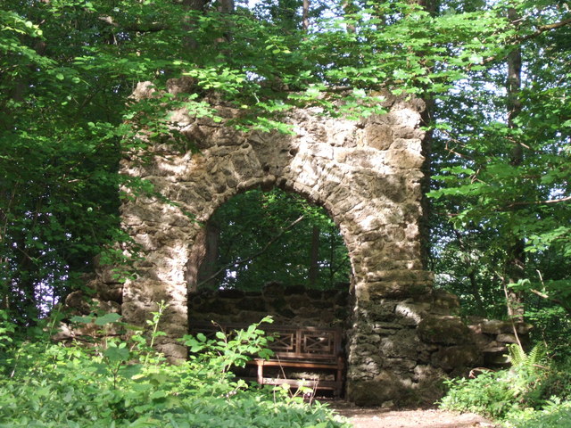
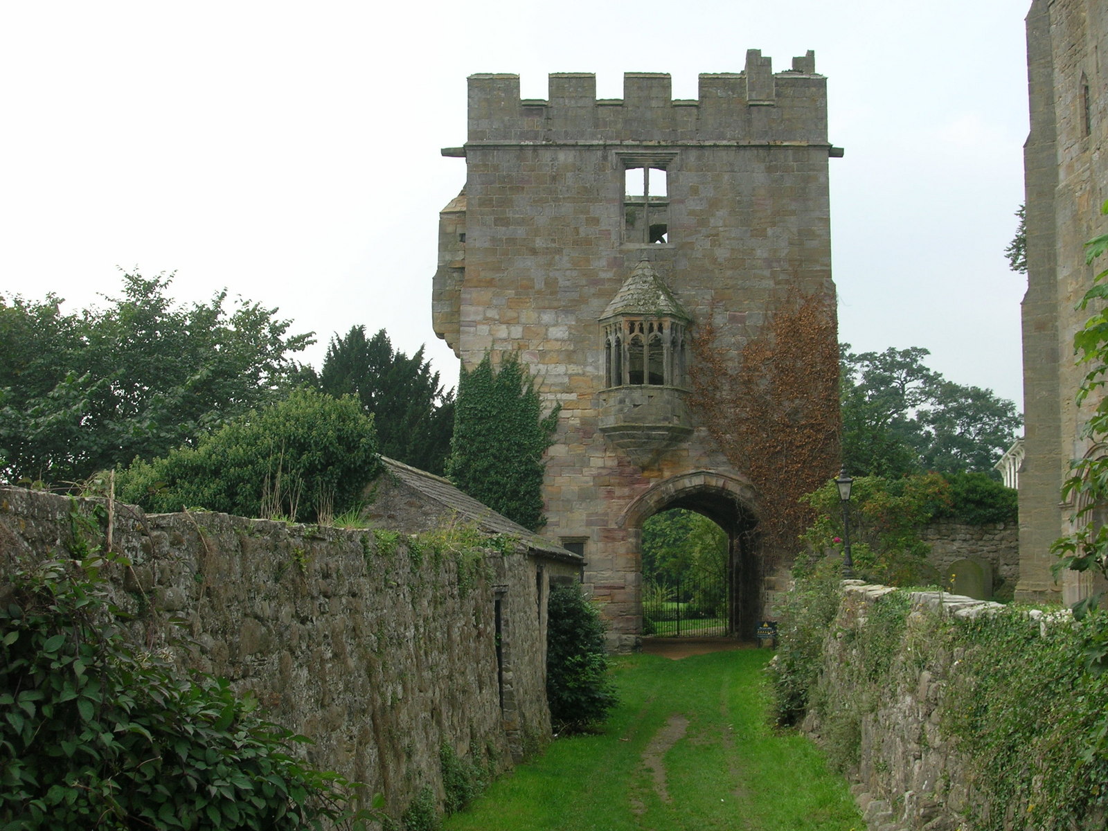
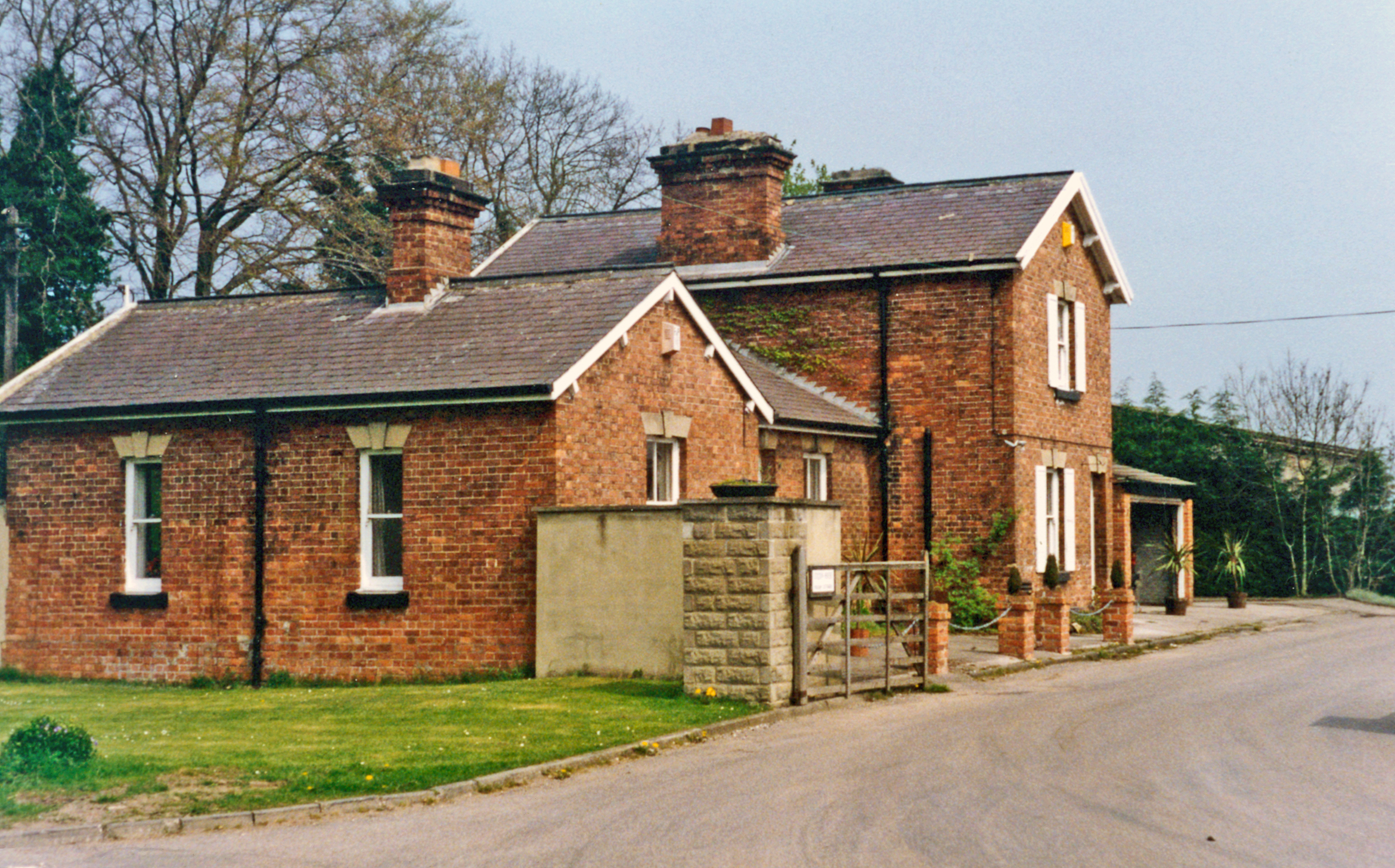
Mickley Wood Images

Images are sourced within 2km of 54.185605/-1.6186254 or Grid Reference SE2476. Thanks to Geograph Open Source API. All images are credited.

Hackfall Woods - the fountain at the fountain pond in full flow The Woodland Trust's 'Hackfall Walks' leaflet describes the fountain as follows - 'The fountain at the pond was originally created in 1756 as part of William Aislabie's master plan for Hackfall...... The fountain has now been restored using modern pipework and a gravity feed system filled from a natural spring on the hillside above. Once a certain water level is achieved in the system, a tumbler opens a valve and water flows to the fountain'. The Ruin folly can be seen on the skyline.
Hackfall Woods - the fountain at the fountain pond in full flow
The Woodland Trust's 'Hackfall Walks' leaflet describes the fountain as follows - 'The fountain at the pond was originally created in 1756 as part of William Aislabie's master plan for Hackfall...... The fountain has now been restored using modern pipework and a gravity feed system filled from a natural spring on the hillside above. Once a certain water level is achieved in the system, a tumbler opens a valve and water flows to the fountain'. The Ruin folly can be seen on the skyline.
Hackfall Woods - the River Ure from Fisher's Hall
Hackfall Woods - Forty Foot Fall
Hackfall Woods - The Grotto
The River Ure from Hackfall Wood This was taken from just by Fisher's Hall.
The River Ure from Hackfall Wood
This was taken from just by Fisher's Hall.
Hackfall Woods - view north from Kent's Seat
Hackfall Woods - The Fountain Pond and the Rustic Temple Taken from by the Ruin folly.
Hackfall Woods - The Fountain Pond and the Rustic Temple
Taken from by the Ruin folly.
Hackfall Woods - looking down on Fisher's Hall Taken from near the Ruin folly.
Hackfall Woods - looking down on Fisher's Hall
Taken from near the Ruin folly.
Hackfall Woods - Mowbray Castle from near the Ruin
Hackfall Woods - bluebells, May 2011
A minor road junction near Azerley, North Yorkshire
A bridleway to the north of Azerley Park
A track leading to buildings next to Newfield Farm
A road junction near Newfield Farm
Ploughed Field Looking towards Newfield.
Ploughed Field
Looking towards Newfield.
Track Along Edge of Field
New Build at Carr House Farm
Road to Newfield
Road to Newfield
Show me another place!

Mickley Wood is located at Grid Ref: SE2476 (Lat: 54.185605, Lng: -1.6186254)

Division: West Riding

Administrative County: North Yorkshire

District: Harrogate

Police Authority: North Yorkshire

What 3 Words

///bucked.autumn.drape. Near Masham, North Yorkshire

Related Wikis

Nearby Amenities

Located within 500m of 54.185605,-1.6186254
Created By: Merkaartor 0.13
Lat/Long: 54.1877358/-1.6127165
Created By: Merkaartor 0.13
Lat/Long: 54.1876509/-1.6131296
Created By: Merkaartor 0.13
Lat/Long: 54.187543/-1.6135827
Created By: Merkaartor 0.13
Lat/Long: 54.1874118/-1.6146888
Created By: Merkaartor 0.13
Lat/Long: 54.1872576/-1.615142
Created By: Merkaartor 0.13
Lat/Long: 54.1866097/-1.6165147
Created By: Merkaartor 0.13
Lat/Long: 54.1863089/-1.6171144
Created By: Merkaartor 0.13
Lat/Long: 54.1861624/-1.6172477
Created By: Merkaartor 0.13
Lat/Long: 54.1859695/-1.6173143
Created By: Merkaartor 0.13
Lat/Long: 54.1856224/-1.6173409
Created By: Merkaartor 0.13
Lat/Long: 54.1854219/-1.6174209
Created By: Merkaartor 0.13
Lat/Long: 54.1848666/-1.6179273
Created By: Merkaartor 0.13
Lat/Long: 54.1843191/-1.618567
Created By: Merkaartor 0.13
Lat/Long: 54.1840568/-1.6187403
Created By: Merkaartor 0.13
Lat/Long: 54.183918/-1.6189935
Created By: Merkaartor 0.13
Lat/Long: 54.183139/-1.6199531
Barrier: stile
Source: survey
Lat/Long: 54.183499/-1.6233222
Information: route_marker
Tourism: information
Lat/Long: 54.1833316/-1.6231146
Generator Method: photovoltaic
Generator Output Electricity: yes
Generator Source: solar
Generator Type: solar_photovoltaic_panel
Power: generator
Lat/Long: 54.1849579/-1.6183016
The data included in this document is from www.openstreetmap.org. The data is made available under ODbL.

Have you been to Mickley Wood?

Leave your review of Mickley Wood below (or comments, questions and feedback).