Goskins Plantation
Wood, Forest in Yorkshire Hambleton
England
Goskins Plantation
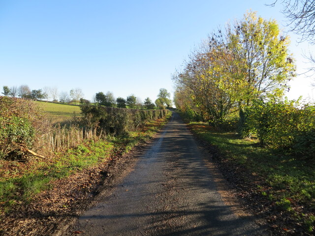
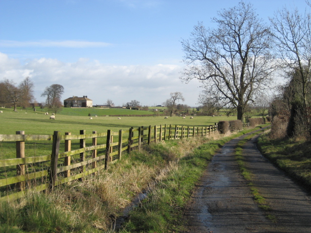
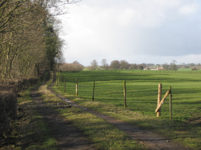
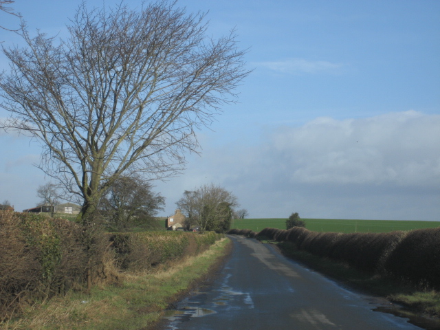
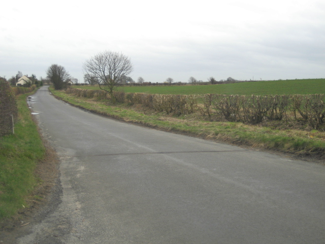
Goskins Plantation is a picturesque woodland area located in Yorkshire, England. Situated in the heart of the county, this plantation covers a vast area of lush greenery, making it an ideal destination for nature enthusiasts and hikers alike. The plantation is known for its dense forest, towering trees, and diverse range of flora and fauna.
The woodland in Goskins Plantation is predominantly made up of deciduous trees such as oak, beech, and birch. These trees provide a stunning display of vibrant colors during autumn, attracting visitors from far and wide. The forest floor is adorned with a variety of wildflowers, adding to the charm of the surroundings.
The plantation is home to a wide array of wildlife, including numerous bird species, small mammals, and insects. Birdwatchers can spot rare species such as woodpeckers, owls, and various songbirds. The woodland also provides a habitat for mammals like foxes, badgers, and deer, which can occasionally be spotted by lucky visitors.
Goskins Plantation offers a network of well-maintained walking trails that allow visitors to explore the beauty of the woodland. These trails range in difficulty, catering to both beginners and experienced hikers. The plantation also features picnic areas and benches, making it an excellent spot for families to relax and enjoy the tranquility of nature.
Overall, Goskins Plantation is a captivating woodland in Yorkshire, offering a serene escape from the hustle and bustle of city life. Its natural beauty, abundant wildlife, and accessible trails make it a must-visit destination for anyone seeking a peaceful retreat in the heart of nature.
If you have any feedback on the listing, please let us know in the comments section below.
Goskins Plantation Images
Images are sourced within 2km of 54.343921/-1.6170701 or Grid Reference SE2494. Thanks to Geograph Open Source API. All images are credited.


Goskins Plantation is located at Grid Ref: SE2494 (Lat: 54.343921, Lng: -1.6170701)
Division: North Riding
Administrative County: North Yorkshire
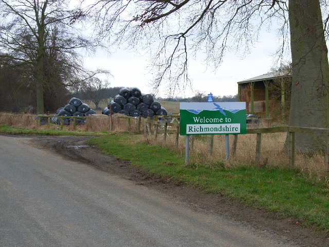
District: Hambleton
Police Authority: North Yorkshire
What 3 Words
///fuel.booklets.pizzeria. Near Catterick, North Yorkshire
Nearby Locations
Related Wikis

Hackforth
Hackforth is a small village and civil parish in the Hambleton district of North Yorkshire, England, about 4 miles (6 km) north of Bedale. Nearby settlements...

Ainderby Miers with Holtby
Ainderby Miers with Holtby is a civil parish in the Hambleton district of North Yorkshire, England. The population taken at the 2011 Census was less than...

Appleton East and West
Appleton East and West is a civil parish in the Richmondshire district of North Yorkshire, England. It contains the villages East Appleton and West Appleton...
East Appleton
East Appleton is a hamlet in North Yorkshire, England. The poet Richard Braithwaite lived there on his estate, and was buried in the parish church. Roger...

Killerby, North Yorkshire
Killerby is a civil parish in the Hambleton district of North Yorkshire, England, 2 miles (3 km) south east of the village of Catterick. It consists of...

RAF Catterick
Royal Air Force Catterick or RAF Catterick is a former Royal Air Force airfield located near Catterick, North Yorkshire in England. It is located alongside...

Hornby Castle, North Yorkshire
Hornby Castle is a grade I listed fortified manor house on the edge of Wensleydale between Bedale and Leyburn, in the county of North Yorkshire, England...

Church of St Mary the Virgin, Hornby
St Mary's Church Hornby, is the parish church for the village of Hornby, Richmondshire in North Yorkshire, England. The church is one of six in the Benefice...
Nearby Amenities
Located within 500m of 54.343921,-1.6170701Have you been to Goskins Plantation?
Leave your review of Goskins Plantation below (or comments, questions and feedback).