Arniston

Settlement in Midlothian

Scotland

Arniston

Colliery cat kipping in coal At the National Mining Museum Scotland, the former Lady Victoria Colliery.
Colliery cat kipping in coal Credit: Robin Webster

Arniston is a historic village located in Midlothian, Scotland. Situated approximately 11 miles south of Edinburgh, it is nestled in a picturesque valley, surrounded by rolling hills and lush green countryside. The village is best known for its rich heritage, charming architecture, and tranquil setting.

Dating back to the 17th century, Arniston boasts a number of well-preserved historic buildings, including Arniston House, a magnificent mansion built in the Palladian style. This grand estate has been home to the Dundas family for over four centuries and is renowned for its stunning gardens and extensive art collection. The house itself is not open to the public, but the grounds are often used for events and weddings.

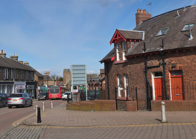
The village itself is a quaint and peaceful place, with a small population and a close-knit community. Its main street is lined with traditional stone cottages and a few shops, offering local produce and crafts. The Arniston Arms, a traditional pub, is a popular gathering spot for locals and visitors alike.

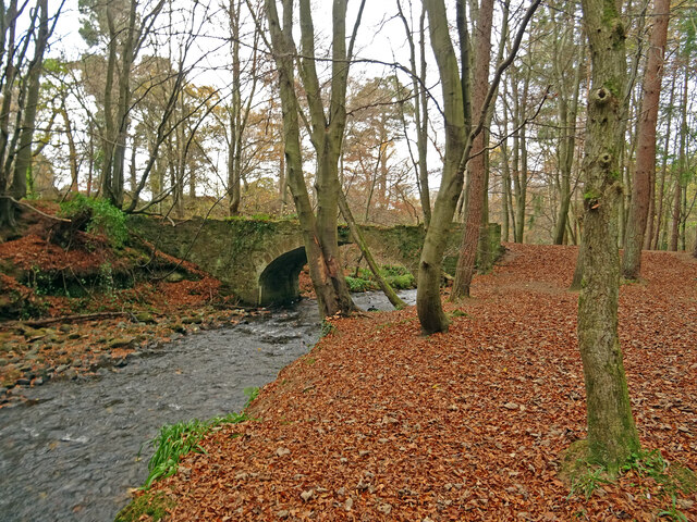
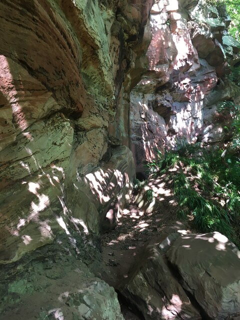
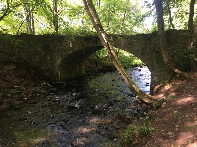
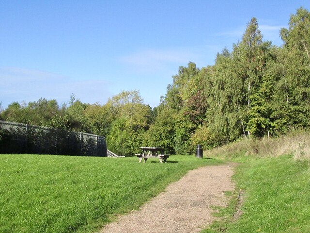
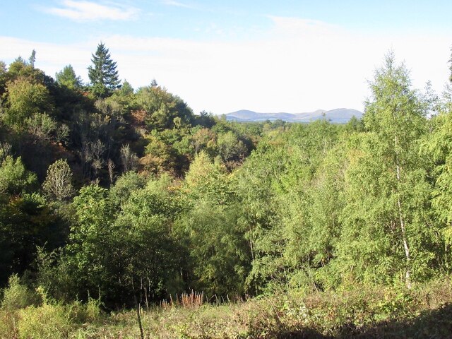
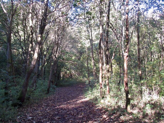
Surrounded by beautiful countryside, Arniston offers ample opportunities for outdoor activities such as walking, cycling, and horse riding. The nearby Penicuik Estate, with its extensive network of trails, is a favorite spot for nature enthusiasts.

Arniston provides a peaceful escape from the bustling city, offering a glimpse into Scotland's rural past. With its historic charm and natural beauty, it is a hidden gem worth exploring for those seeking a tranquil retreat.

If you have any feedback on the listing, please let us know in the comments section below.
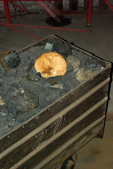
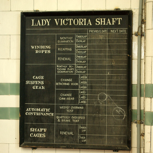
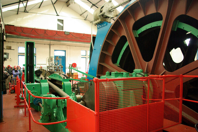
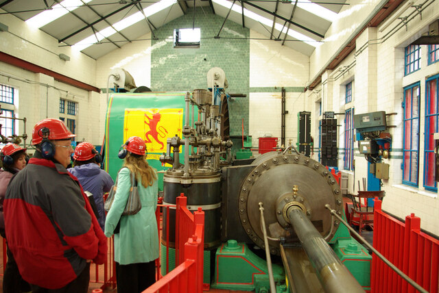
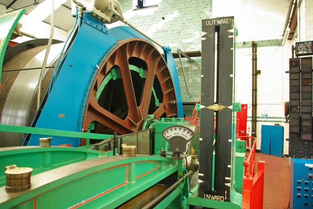
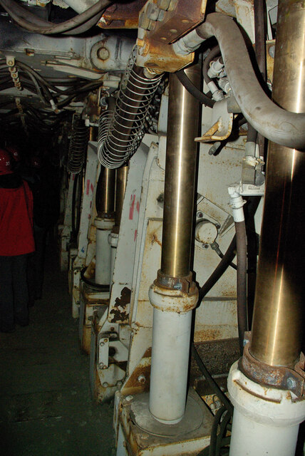
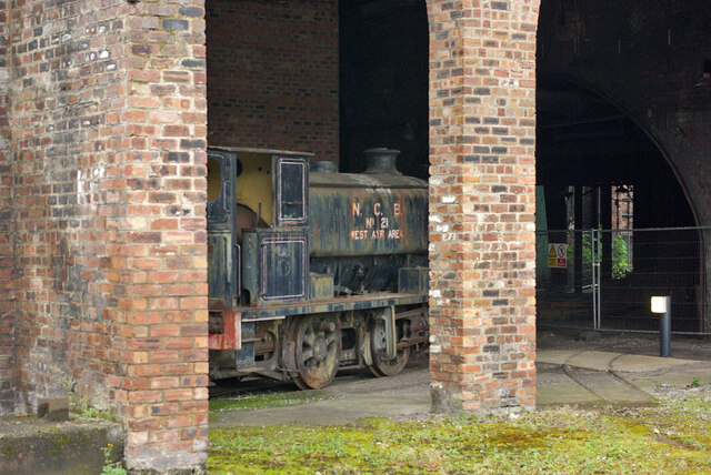
Arniston Images

Images are sourced within 2km of 55.847728/-3.05703 or Grid Reference NT3362. Thanks to Geograph Open Source API. All images are credited.

Colliery cat kipping in coal At the National Mining Museum Scotland, the former Lady Victoria Colliery.
Colliery cat kipping in coal
At the National Mining Museum Scotland, the former Lady Victoria Colliery.
Equipment maintenance board, Lady Victoria Shaft At the National Mining Museum Scotland. The 'Automatic contrivance' is intriguing, a term apparently commonly used without a more specific name.
Equipment maintenance board, Lady Victoria Shaft
At the National Mining Museum Scotland. The 'Automatic contrivance' is intriguing, a term apparently commonly used without a more specific name.
Winding engine, Lady Victoria Shaft At the National Mining Museum Scotland, at the former Lady Victoria colliery. One side of the steam engine, which no longer has a steam supply, but can be turned over electrically.
Winding engine, Lady Victoria Shaft
At the National Mining Museum Scotland, at the former Lady Victoria colliery. One side of the steam engine, which no longer has a steam supply, but can be turned over electrically.
Winding engine, Lady Victoria Shaft At the National Mining Museum Scotland, at the former Lady Victoria colliery. One side of the steam engine, which no longer has a steam supply, but can be turned over electrically. The winding drum is behind the shield with the flag, the other half of the two cylinder engine is off to the left. The winding ropes, which originally passed through the high port in the end wall, have been removed.
Winding engine, Lady Victoria Shaft
At the National Mining Museum Scotland, at the former Lady Victoria colliery. One side of the steam engine, which no longer has a steam supply, but can be turned over electrically. The winding drum is behind the shield with the flag, the other half of the two cylinder engine is off to the left. The winding ropes, which originally passed through the high port in the end wall, have been removed.
Winding drum and indicators, Lady Victoria Shaft At the National Mining Museum Scotland, at the former Lady Victoria colliery. The winding ropes, which originally passed through the high port in the end wall, have been removed.
Winding drum and indicators, Lady Victoria Shaft
At the National Mining Museum Scotland, at the former Lady Victoria colliery. The winding ropes, which originally passed through the high port in the end wall, have been removed.
Coal face machinery, National Mining Museum Scotland The underground parts of Lady Victoria Colliery have been capped off, but a mock-up of what it is like underground has been made in one of the surface buildings.
Coal face machinery, National Mining Museum Scotland
The underground parts of Lady Victoria Colliery have been capped off, but a mock-up of what it is like underground has been made in one of the surface buildings.
NCB No.21 West Ayr Area at the National Mining Museum Scotland, 2007 There is a view of this nearby in 1982 in very good external condition. Since then it had been neglected, and not until 2019 was something done about it. It was moved to the Bo'ness and Kinneil Railway for cosmetic restoration and returned in 2020. During the first move it was found that the wheel bearings had seized up, and considerable difficult was had in shunting it around. Hopefully 'cosmetic' extended to sorting that out.
NCB No.21 West Ayr Area at the National Mining Museum Scotland, 2007
There is a view of this nearby in 1982 in very good external condition. Since then it had been neglected, and not until 2019 was something done about it. It was moved to the Bo'ness and Kinneil Railway for cosmetic restoration and returned in 2020. During the first move it was found that the wheel bearings had seized up, and considerable difficult was had in shunting it around. Hopefully 'cosmetic' extended to sorting that out.
Trotters Bridge Rustic little stone bridge over the Gore Water on the Arniston Estate near Gorebridge with mainly beech woodland surrounding it.

Several contributors seem to suggest that Trotters Bridge is over the River South Esk on the minor road to Carrington:-
<a title="https://www.geograph.org.uk/photo/1345203" href="https://www.geograph.org.uk/photo/1345203">Link</a>
<a title="https://www.geograph.org.uk/photo/6041984" href="https://www.geograph.org.uk/photo/6041984">Link</a>
Whereas the buildings at risk register - with map - suggest that it is the rustic bridge over the Gore Water at the furthest extent of the Arniston Estate:-
<span class="nowrap"><a title="https://www.buildingsatrisk.org.uk/details/924642" rel="nofollow ugc noopener" href="https://www.buildingsatrisk.org.uk/details/924642">Link</a><img style="margin-left:2px;" alt="External link" title="External link - shift click to open in new window" src="https://s1.geograph.org.uk/img/external.png" width="10" height="10"/></span>
Trotters Bridge
Rustic little stone bridge over the Gore Water on the Arniston Estate near Gorebridge with mainly beech woodland surrounding it. Several contributors seem to suggest that Trotters Bridge is over the River South Esk on the minor road to Carrington:- Link Link Whereas the buildings at risk register - with map - suggest that it is the rustic bridge over the Gore Water at the furthest extent of the Arniston Estate:- LinkExternal link
Sandstone cliffs, River South Esk
Bridge over River South Esk near Gorebridge
Main Street, Newtongrange Main Street from its junction with Lingerwood Road. In the foreground is one of the distinctive brick-built cottages of the 19th century mining village.
Main Street, Newtongrange
Main Street from its junction with Lingerwood Road. In the foreground is one of the distinctive brick-built cottages of the 19th century mining village.
Cafe on Main Street, Newtongrange Cafe and takeaway business near the junction with Lingerwood Road.
Cafe on Main Street, Newtongrange
Cafe and takeaway business near the junction with Lingerwood Road.
Picture Palace cinema commemoration, Newtongrange Brickwork in the pavement at the junction of Lingerwood Road and Main Street commemorating the Picture Palace 1915 - 1961, first film Out of the Depths. 

It was situated across the road and the site is now occupied by a block of flats. There is a photograph of the cinema on the Canmore web page <span class="nowrap"><a title="https://canmore.org.uk/site/290825/newtongrange-4-muirdean-road-site-of-cinema" rel="nofollow ugc noopener" href="https://canmore.org.uk/site/290825/newtongrange-4-muirdean-road-site-of-cinema">Link</a><img style="margin-left:2px;" alt="External link" title="External link - shift click to open in new window" src="https://s1.geograph.org.uk/img/external.png" width="10" height="10"/></span> (incorrectly titled as 4 Muirdean Road instead of Murderdean Road).
Picture Palace cinema commemoration, Newtongrange
Brickwork in the pavement at the junction of Lingerwood Road and Main Street commemorating the Picture Palace 1915 - 1961, first film Out of the Depths. It was situated across the road and the site is now occupied by a block of flats. There is a photograph of the cinema on the Canmore web page LinkExternal link (incorrectly titled as 4 Muirdean Road instead of Murderdean Road).
Former coal conveyor, Newtongrange This spans the A7 at the Lady Victoria Colliery, now the National Mining Museum. See <a href="https://www.geograph.org.uk/photo/6305844">NT3363 : Coal conveyor and National Mining Museum, Newtongrange</a> for a view from the other end.
Former coal conveyor, Newtongrange
This spans the A7 at the Lady Victoria Colliery, now the National Mining Museum. See NT3363 : Coal conveyor and National Mining Museum, Newtongrange for a view from the other end.
Picnic table, Gore Glen A car park off the A7. The path crosses the railway before plunging towards Trotter's Bridge. The woods on the right are on a bing.
Picnic table, Gore Glen
A car park off the A7. The path crosses the railway before plunging towards Trotter's Bridge. The woods on the right are on a bing.
Borders Railway, Gorebridge Traversing a steep slope above Gore Glen.
Borders Railway, Gorebridge
Traversing a steep slope above Gore Glen.
Woodland, Gore Glen A fine view on the descent from the A7 car park.
Woodland, Gore Glen
A fine view on the descent from the A7 car park.
Path through alders, Gore Glen A wide path descending towards Trotter's Bridge.
Path through alders, Gore Glen
A wide path descending towards Trotter's Bridge.
Show me another place!

Arniston is located at Grid Ref: NT3362 (Lat: 55.847728, Lng: -3.05703)

Unitary Authority: Midlothian

Police Authority: The Lothians and Scottish Borders

What 3 Words

///doll.after.spoil. Near Gorebridge, Midlothian

Nearby Locations

Arniston

Related Wikis

Gorebridge

Gorebridge is a former mining village in Midlothian, Scotland. Gorebridge has an annual Gala Day which always takes place on the 3rd Saturday in June....

Newbyres Castle

Newbyres Castle was a 16th-century tower house, in Gorebridge, Midlothian, Scotland, west of the main street. The tower occupied a roughly triangular position...

Gorebridge railway station

Gorebridge is a railway station on the Borders Railway, which runs between Edinburgh Waverley and Tweedbank. The station, situated 11 miles 77 chains...

Birkenside, Midlothian

Birkenside is a village, adjacent to the A7 road, at the south of Gorebridge in Midlothian, Scotland. == See also == List of places in Midlothian List...

Related Videos

National Mining Museum Scotland. Scottish Tourism.

The National Mining Museum Scotland was created in 1984, It is now a prime Scottish Tourism site to visit. The intention of the ...

Turf Video 09-07-22 - Dalhousie Castle Trails

A turf walk around Dalhousie Castle Hotel near Bonnyrigg, Midlothian.

Nearby Amenities

Located within 500m of 55.847728,-3.05703
Traffic Calming: choker
Lat/Long: 55.8499351/-3.0584329
Traffic Calming: choker
Lat/Long: 55.8495234/-3.0592089
Traffic Calming: cushion
Lat/Long: 55.8498067/-3.0591251
Traffic Calming: cushion
Lat/Long: 55.8501251/-3.0584934
Turning Circle
Lat/Long: 55.8484615/-3.0570618
Traffic Calming: hump
Lat/Long: 55.8503646/-3.0631055
Crossing
Bicycle: yes
Crossing: uncontrolled
Crossing Ref: tiger
Kerb: flush
Tactile Paving: yes
Traffic Calming: hump
Lat/Long: 55.8506107/-3.0624309
Crossing
Bicycle: yes
Crossing: uncontrolled
Crossing Ref: tiger
Kerb: flush
Tactile Paving: yes
Traffic Calming: hump
Lat/Long: 55.8511023/-3.0623116
Traffic Calming: choker
Lat/Long: 55.8437994/-3.0537237
Bus Stop
Hogarth Avenue
Bus: yes
Naptan AdministrativeAreaCode: 130
Naptan Area Name: Midlothian
Naptan AtcoAreaCode: 628
Naptan AtcoCode: 6280326400
Naptan Bearing: N
Naptan CommonName: Hogarth Avenue
Naptan Indicator: at
Naptan Landmark: -
Naptan LocalityName: Greenhall
Naptan NaptanCode: 64323687
Naptan NptgLocalityCode: N0072090
Naptan SourceLocalityType: Add
Naptan StopAreaCode: 628G301250
Naptan StopAreaType: GPBS
Naptan StopArea Name: Greenhall Road
Naptan Street: Greenhall Road
Naptan Verified: yes
Public Transport: platform
Shelter: yes
Source: NaPTAN + Survey
Lat/Long: 55.8516678/-3.054469
Bus Stop
Arniston Engine
Bin: yes
Bus: yes
Naptan AdministrativeAreaCode: 130
Naptan Area Name: Midlothian
Naptan AtcoAreaCode: 628
Naptan AtcoCode: 6280326330
Naptan Bearing: NW
Naptan CommonName: Arniston Engine
Naptan Indicator: at
Naptan Landmark: Hunterfield Tavern
Naptan LocalityName: Arniston
Naptan NaptanCode: 64323679
Naptan NptgLocalityCode: N0067191
Naptan SourceLocalityType: Add
Naptan StopAreaCode: 628G326330
Naptan StopAreaType: GPBS
Naptan StopArea Name: Arniston Engine
Naptan Street: Hunterfield Road
Naptan Verified: yes
Passenger Information Display: yes
Public Transport: platform
Shelter: yes
Source: NaPTAN + Survey
Lat/Long: 55.8476774/-3.0538517
Bus Stop
Arniston Engine
Bus: yes
Naptan AdministrativeAreaCode: 130
Naptan Area Name: Midlothian
Naptan AtcoAreaCode: 628
Naptan AtcoCode: 6280301280
Naptan Bearing: SE
Naptan CommonName: Arniston Engine
Naptan Indicator: opp
Naptan Landmark: -
Naptan LocalityName: Arniston
Naptan NaptanCode: 64323678
Naptan NptgLocalityCode: N0067191
Naptan SourceLocalityType: Add
Naptan StopAreaCode: 628G326330
Naptan StopAreaType: GPBS
Naptan StopArea Name: Arniston Engine
Naptan Street: Hunterfield Road
Naptan Verified: yes
Public Transport: platform
Source: NaPTAN + Survey
Lat/Long: 55.8481177/-3.0542193
Bus Stop
New Hunterfield
Bus: yes
Naptan AdministrativeAreaCode: 130
Naptan Area Name: Midlothian
Naptan AtcoAreaCode: 628
Naptan AtcoCode: 6280326360
Naptan Bearing: NW
Naptan CommonName: New Hunterfield
Naptan Indicator: at
Naptan Landmark: opp Greenhall Road
Naptan LocalityName: Hunterfield
Naptan NaptanCode: 64323695
Naptan NptgLocalityCode: N0071926
Naptan SourceLocalityType: Add
Naptan StopAreaCode: 628G301590
Naptan StopAreaType: GCLS
Naptan StopArea Name: Gorebridge Greenhall Crescent
Naptan Street: Hunterfield Road
Naptan Verified: yes
Public Transport: platform
Shelter: yes
Source: NaPTAN + Survey
Lat/Long: 55.8489912/-3.0554762
Bus Stop
Barleyknowe Crescent
Bench: no
Bus: yes
Naptan AdministrativeAreaCode: 130
Naptan Area Name: Midlothian
Naptan AtcoAreaCode: 628
Naptan AtcoCode: 6280326405
Naptan Bearing: N
Naptan CommonName: Barleyknowe Crescent
Naptan Indicator: opp
Naptan Landmark: -
Naptan LocalityName: Greenhall
Naptan NaptanCode: 64325847
Naptan NptgLocalityCode: N0072090
Naptan ShortCommonName: Barleyknowe Crescent
Naptan SourceLocalityType: Add
Naptan StopAreaCode: 628G301260
Naptan StopAreaType: GPBS
Naptan StopArea Name: Barleyknowe Crescent
Naptan Street: Greenhall Road
Naptan Verified: yes
Public Transport: platform
Shelter: no
Source: NaPTAN + Survey
Lat/Long: 55.8504273/-3.0549539
Bus Stop
Barleyknowe Crescent
Bench: no
Bus: yes
Naptan AdministrativeAreaCode: 130
Naptan Area Name: Midlothian
Naptan AtcoAreaCode: 628
Naptan AtcoCode: 6280301260
Naptan Bearing: S
Naptan CommonName: Barleyknowe Crescent
Naptan Indicator: at
Naptan Landmark: -
Naptan LocalityName: Greenhall
Naptan NaptanCode: 64323674
Naptan NptgLocalityCode: N0072090
Naptan SourceLocalityType: Add
Naptan StopAreaCode: 628G301260
Naptan StopAreaType: GPBS
Naptan StopArea Name: Barleyknowe Crescent
Naptan Street: Greenhall Road
Naptan Verified: yes
Public Transport: platform
Shelter: no
Source: NaPTAN + Survey
Lat/Long: 55.8505588/-3.0546641
Atm
Lat/Long: 55.8476864/-3.0535874
Pharmacy
Lloyds Pharmacy
Lat/Long: 55.8470291/-3.0531817
Scotmid
Addr Housenumber: 114-118
Addr Postcode: EH23 4TX
Addr Street: Hunterfield Road
Brand: Scotmid
Brand Wikidata: Q7435719
Brand Wikipedia: en:Scotmid
Fhrs Id: 158870
Opening Hours: Mo-Su 07:00-22:00
Shop: supermarket
Source Addr: FHRS Open Data
Lat/Long: 55.8478283/-3.0535435
Bus Stop
Public Transport: platform
Lat/Long: 55.8518999/-3.0590031
Bus Stop
Bus: yes
Public Transport: platform
Shelter: no
Lat/Long: 55.8507488/-3.0574434
Bus Stop
Bus: yes
Public Transport: platform
Shelter: no
Lat/Long: 55.8502695/-3.0570562
Bus Stop
Greenhall Crescent
Bus: yes
Naptan AdministrativeAreaCode: 130
Naptan Area Name: Midlothian
Naptan AtcoAreaCode: 628
Naptan AtcoCode: 6280301270
Naptan Bearing: SW
Naptan CommonName: Greenhall Crescent
Naptan Indicator: at 6
Naptan Landmark: -
Naptan LocalityName: Hunterfield
Naptan NaptanCode: 64323685
Naptan NptgLocalityCode: N0071926
Naptan SourceLocalityType: Add
Naptan StopAreaCode: 628G301590
Naptan StopAreaType: GCLS
Naptan StopArea Name: Gorebridge Greenhall Crescent
Naptan Street: Greenhall Crescent
Naptan Verified: yes
Note: NaPTAN Bus Stop location not correct
Public Transport: platform
Source: NaPTAN + Survey
Lat/Long: 55.8488947/-3.0551424
Bus Stop
Leisure Centre
Bus: yes
Naptan AdministrativeAreaCode: 130
Naptan Area Name: Midlothian
Naptan AtcoAreaCode: 628
Naptan AtcoCode: 6280301610
Naptan Bearing: SE
Naptan CommonName: Leisure Centre
Naptan Indicator: at
Naptan Landmark: -
Naptan LocalityName: Gorebridge
Naptan NaptanCode: 64323693
Naptan NptgLocalityCode: ES001632
Naptan SourceLocalityType: Lo
Naptan StopAreaCode: 628G301610
Naptan StopAreaType: GPBS
Naptan StopArea Name: Leisure Centre
Naptan Street: Hunterfield Road
Naptan Verified: yes
Public Transport: platform
Shelter: yes
Source: NaPTAN + Survey
Lat/Long: 55.845346/-3.0508207
Fast Food
Greenhall Food Bar
Addr Housenumber: 3
Addr Postcode: EH23 4AW
Addr Street: Greenhall Road
Cuisine: fish_and_chips
Fhrs Id: 159068
Source Addr: FHRS Open Data
Lat/Long: 55.8500528/-3.0551816
Fast Food
Kwei Lin
Addr Housenumber: 114-118
Addr Postcode: EH23 4TX
Addr Street: Hunterfield Road
Cuisine: chinese
Fhrs Id: 159041
Phone: +44 131 1875 823298
Source Addr: FHRS Open Data
Lat/Long: 55.8475943/-3.05342
Scotbet
Shop: bookmaker
Lat/Long: 55.8475034/-3.0533041
Fast Food
Sea Garden
Addr Housenumber: 3A
Addr Postcode: EH23 4AW
Addr Street: Greenhall Road
Cuisine: chinese
Fhrs Id: 159079
Source Addr: FHRS Open Data
Lat/Long: 55.8499891/-3.055228
Post Box
Collection Times: Mo-Fr 16:30; Sa 11:45
Operator: Royal Mail
Ref: EH23 61
Lat/Long: 55.8477733/-3.0536449
Barrier: cycle_barrier
Bicycle: yes
Foot: yes
Lat/Long: 55.8486312/-3.0633448
Give Way
Direction: backward
Lat/Long: 55.8491507/-3.062431
Traffic Signals
Crossing: traffic_signals
Crossing Island: no
Kerb: lowered
Tactile Paving: yes
Traffic Signals Direction: backward
Lat/Long: 55.8491465/-3.0555682
Barrier: cycle_barrier
Bicycle: yes
Foot: yes
Lat/Long: 55.849582/-3.0550663
Barrier: cycle_barrier
Bicycle: yes
Foot: yes
Lat/Long: 55.8498416/-3.0549838
Noexit: yes
Lat/Long: 55.850001/-3.0543629
Post Box
Collection Times: Mo-Fr 16:30; Sa 09:00
Operator: Royal Mail
Ref: EH23 270
Lat/Long: 55.8499332/-3.0511468
Power: pole
Lat/Long: 55.8476802/-3.0648115
Power: pole
Lat/Long: 55.8483891/-3.0649444
Restaurant
L'Italiano
Cuisine: italian
Phone: +44 131 1875 825946
Lat/Long: 55.8478151/-3.0541565
Waste Basket
Lat/Long: 55.8481143/-3.0531129
Bench
Backrest: yes
Colour: black
Material: metal
Lat/Long: 55.8481368/-3.0530539
Bench
Backrest: yes
Colour: black
Material: metal
Lat/Long: 55.8480856/-3.0530566
Gorebridge Primary School
Location: indoor
Operator: SP Distribution
Power: substation
Substation: minor_distribution
Lat/Long: 55.8471445/-3.051796
Traffic Calming: cushion
Lat/Long: 55.8471553/-3.052588
Traffic Calming: cushion
Lat/Long: 55.8476067/-3.0511211
Traffic Calming: cushion
Lat/Long: 55.847354/-3.0519088
Crossing
Crossing: traffic_signals
Kerb: flush
Tactile Paving: yes
Lat/Long: 55.8504229/-3.0571223
Bus Stop
Greenhall Crescent
Bus: yes
Naptan AdministrativeAreaCode: 130
Naptan Area Name: Midlothian
Naptan AtcoAreaCode: 628
Naptan AtcoCode: 6280301590
Naptan Bearing: NE
Naptan CommonName: Greenhall Crescent
Naptan Indicator: at 5
Naptan Landmark: -
Naptan LocalityName: Hunterfield
Naptan NaptanCode: 64323686
Naptan NptgLocalityCode: N0071926
Naptan SourceLocalityType: Add
Naptan StopAreaCode: 628G301590
Naptan StopAreaType: GCLS
Naptan StopArea Name: Gorebridge Greenhall Crescent
Naptan Street: Greenhall Crescent
Naptan Verified: yes
Public Transport: platform
Source: NaPTAN + Survey
Lat/Long: 55.8496381/-3.0553786
Traffic Signals
Crossing: traffic_signals
Crossing Island: no
Kerb: lowered
Tactile Paving: yes
Traffic Signals Direction: forward
Lat/Long: 55.8493464/-3.0558122
Traffic Signals
Crossing: traffic_signals
Crossing Island: no
Kerb: lowered
Tactile Paving: yes
Traffic Signals Direction: forward
Lat/Long: 55.8492681/-3.0555621
Traffic Signals
Crossing: traffic_signals
Crossing Island: no
Kerb: lowered
Tactile Paving: yes
Traffic Signals Direction: forward
Lat/Long: 55.8492334/-3.0558472
Location: indoor
Power: substation
Substation: minor_distribution
Lat/Long: 55.8512134/-3.0620112
Give Way
Lat/Long: 55.8511829/-3.0621412
Give Way
Direction: backward
Lat/Long: 55.8502162/-3.0627367
Crossing
Crossing: unmarked
Kerb: lowered
Tactile Paving: yes
Lat/Long: 55.8503021/-3.0625952
Give Way
Direction: backward
Lat/Long: 55.8495966/-3.0552587
Give Way
Direction: forward
Lat/Long: 55.8495093/-3.0559252
Addr City: Gorebridge
Addr Housenumber: 64
Addr Street: Hunterfield Terrace
Addr Suburb: Arniston
Level: 1
Lat/Long: 55.8511389/-3.0583474
Addr City: Gorebridge
Addr Housenumber: 63
Addr Street: Hunterfield Terrace
Addr Suburb: Arniston
Lat/Long: 55.8511916/-3.0582208
Addr City: Gorebridge
Addr Housenumber: 62
Addr Street: Hunterfield Terrace
Addr Suburb: Arniston
Level: 1
Lat/Long: 55.8510764/-3.0582711
Addr City: Gorebridge
Addr Housenumber: 61
Addr Street: Hunterfield Terrace
Addr Suburb: Arniston
Lat/Long: 55.8511259/-3.0581407
Addr City: Gorebridge
Addr Housenumber: 60
Addr Street: Hunterfield Terrace
Addr Suburb: Arniston
Level: 1
Lat/Long: 55.8510068/-3.0581861
Addr City: Gorebridge
Addr Housenumber: 59
Addr Street: Hunterfield Terrace
Addr Suburb: Arniston
Lat/Long: 55.8510562/-3.0580555
Addr City: Gorebridge
Addr Housenumber: 58
Addr Street: Hunterfield Terrace
Addr Suburb: Arniston
Level: 1
Lat/Long: 55.8509431/-3.0581082
Addr City: Gorebridge
Addr Housenumber: 57
Addr Street: Hunterfield Terrace
Addr Suburb: Arniston
Lat/Long: 55.8509907/-3.0579756
Addr City: Gorebridge
Addr Housenumber: 56
Addr Street: Hunterfield Terrace
Addr Suburb: Arniston
Level: 1
Lat/Long: 55.8508739/-3.0580237
Addr City: Gorebridge
Addr Housenumber: 55
Addr Street: Hunterfield Terrace
Addr Suburb: Arniston
Lat/Long: 55.8509232/-3.0578931
Addr City: Gorebridge
Addr Housenumber: 54
Addr Street: Hunterfield Terrace
Addr Suburb: Arniston
Level: 1
Lat/Long: 55.8508048/-3.0579394
Addr City: Gorebridge
Addr Housenumber: 53
Addr Street: Hunterfield Terrace
Addr Suburb: Arniston
Lat/Long: 55.8508516/-3.0578057
Addr City: Gorebridge
Addr Housenumber: 52
Addr Street: Hunterfield Terrace
Addr Suburb: Arniston
Level: 1
Lat/Long: 55.8507388/-3.0578588
Addr City: Gorebridge
Addr Housenumber: 51
Addr Street: Hunterfield Terrace
Addr Suburb: Arniston
Lat/Long: 55.8507877/-3.0577276
Addr City: Gorebridge
Addr Housenumber: 50
Addr Street: Hunterfield Terrace
Addr Suburb: Arniston
Level: 1
Lat/Long: 55.8506708/-3.0577757
Addr City: Gorebridge
Addr Housenumber: 49
Addr Street: Hunterfield Terrace
Addr Suburb: Arniston
Lat/Long: 55.8507205/-3.0576455
Addr City: Gorebridge
Addr Housenumber: 48
Addr Street: Hunterfield Terrace
Addr Suburb: Arniston
Level: 1
Lat/Long: 55.8506036/-3.0576937
Addr City: Gorebridge
Addr Housenumber: 47
Addr Street: Hunterfield Terrace
Addr Suburb: Arniston
Lat/Long: 55.8506537/-3.0575639
Addr City: Gorebridge
Addr Housenumber: 46
Addr Street: Hunterfield Terrace
Addr Suburb: Arniston
Level: 1
Lat/Long: 55.8505344/-3.0576091
Addr City: Gorebridge
Addr Housenumber: 45
Addr Street: Hunterfield Terrace
Addr Suburb: Arniston
Lat/Long: 55.8505855/-3.0574806
Give Way
Direction: forward
Lat/Long: 55.8496653/-3.0593693
Give Way
Direction: forward
Lat/Long: 55.850027/-3.0585944
Give Way
Direction: backward
Lat/Long: 55.8505216/-3.0573322
Traffic Calming: cushion
Lat/Long: 55.8503458/-3.0577845
Traffic Calming: choker
Lat/Long: 55.8495869/-3.059734
Addr City: Gorebridge
Addr Housenumber: 109
Addr Street: Hunterfield Road
Addr Suburb: Arniston
Lat/Long: 55.8469404/-3.0533779
Give Way
Direction: backward
Lat/Long: 55.8470475/-3.0529019
Give Way
Direction: forward
Lat/Long: 55.8480009/-3.0542321
Crossing
Crossing: traffic_signals
Crossing Island: no
Kerb: lowered
Tactile Paving: yes
Lat/Long: 55.8478848/-3.0540029
Give Way
Direction: forward
Lat/Long: 55.8477152/-3.0570088
Traffic Calming: choker
Lat/Long: 55.8456001/-3.053242
Give Way
Direction: backward
Lat/Long: 55.8477768/-3.0552118
Give Way
Direction: backward
Lat/Long: 55.8476859/-3.0565515
Give Way
Direction: backward
Lat/Long: 55.8516127/-3.0530809
Give Way
Direction: backward
Lat/Long: 55.8510242/-3.0545255
Give Way
Direction: forward
Lat/Long: 55.8508793/-3.0533797
Give Way
Direction: forward
Lat/Long: 55.8504133/-3.0535332
Location: indoor
Power: substation
Substation: minor_distribution
Lat/Long: 55.8513124/-3.0567118
Give Way
Direction: backward
Lat/Long: 55.8514826/-3.055447
Give Way
Direction: forward
Lat/Long: 55.8514037/-3.0545334
Give Way
Direction: forward
Lat/Long: 55.8508765/-3.0558957
Traffic Calming: cushion
Lat/Long: 55.8478507/-3.0503679
Traffic Calming: cushion
Lat/Long: 55.8481637/-3.0494198
Crossing
Crossing: traffic_signals
Kerb: raised
Tactile Paving: yes
Lat/Long: 55.8455861/-3.0511935
Addr City: Gorebridge
Addr Housenumber: 74
Addr Street: Hunterfield Road
Lat/Long: 55.8451427/-3.0505408
Give Way
Direction: backward
Lat/Long: 55.8478078/-3.0506399
Give Way
Direction: backward
Lat/Long: 55.8439167/-3.0534683
The data included in this document is from www.openstreetmap.org. The data is made available under ODbL.

Have you been to Arniston?

Leave your review of Arniston below (or comments, questions and feedback).