Heach Wood

Wood, Forest in Warwickshire North Warwickshire

England

Heach Wood

Arnolds Lane towards Maxstoke
Arnolds Lane towards Maxstoke Credit: Ian S

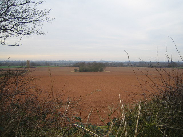
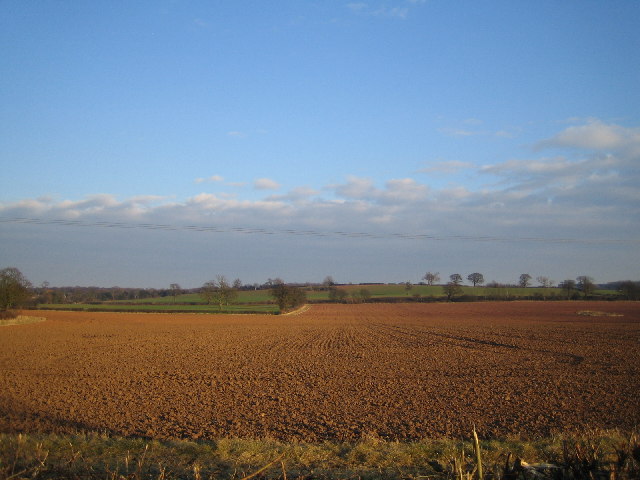
Heach Wood is a picturesque woodland located in Warwickshire, England. Covering an area of approximately 50 acres, it is nestled in the heart of the countryside and is a popular destination for nature enthusiasts and hikers alike.

The wood is predominantly made up of native broadleaf species such as oak, beech, and ash, creating a diverse and vibrant ecosystem. The dense canopy provides a haven for a wide variety of flora and fauna, including bluebells, wood anemones, and wild garlic, which carpet the forest floor during the spring months.

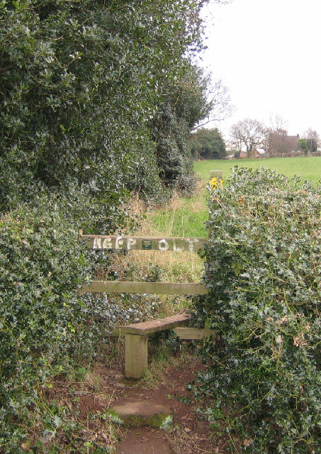
Heach Wood is intersected by several well-maintained footpaths and trails, allowing visitors to explore the beauty of the woodland at their own pace. The paths wind through the ancient trees, offering breathtaking views of the surrounding countryside and providing an opportunity for peaceful contemplation.

The wood is also home to a rich array of wildlife, with sightings of deer, badgers, and a multitude of bird species being relatively common. Birdwatchers will be delighted by the chance to spot species such as the great spotted woodpecker, tawny owl, and the elusive nightingale.

The management of Heach Wood is carried out by the local council, who ensure the preservation of the woodland's natural beauty and promote sustainable practices. Visitors are encouraged to respect the environment by sticking to designated paths, refraining from littering, and avoiding damage to the delicate ecosystem.

Overall, Heach Wood offers a tranquil escape from the hustle and bustle of everyday life, providing a serene setting for nature lovers to immerse themselves in the beauty of Warwickshire's woodlands.

If you have any feedback on the listing, please let us know in the comments section below.
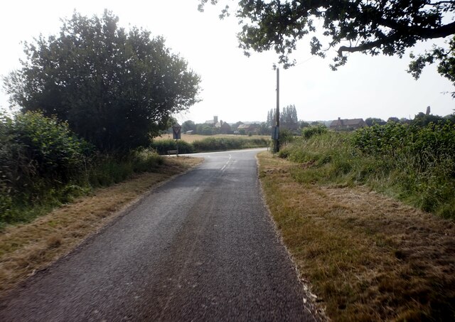
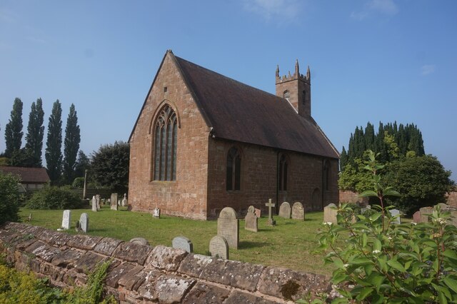
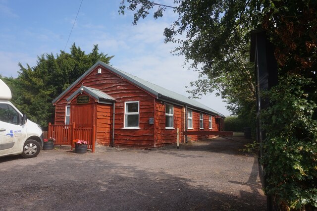
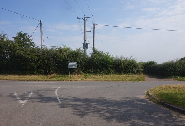
Heach Wood Images

Images are sourced within 2km of 52.489952/-1.634259 or Grid Reference SP2488. Thanks to Geograph Open Source API. All images are credited.

Arnolds Lane towards Maxstoke
St Michael's & All Angels Church, Maxstoke
Village Hall, Maxstoke
Captain Eric Percy Coventry Back Captain of HMS Natal, killed 30-12-1915.
Captain Eric Percy Coventry Back
Captain of HMS Natal, killed 30-12-1915.
St Michael's & All Angels Church, Maxstoke
Graveyard, St Michael's & All Angels Church, Maxstoke
Junction on Green End Road
Railtour near Daw Mill West Coast Railway Class 33 No. 33025 brings up the rear of a Steam Dreams railtour to Worcester from London Euston.  The train is passing the site of the former Daw Mill colliery which closed in 2013 after a fire.
Railtour near Daw Mill
West Coast Railway Class 33 No. 33025 brings up the rear of a Steam Dreams railtour to Worcester from London Euston. The train is passing the site of the former Daw Mill colliery which closed in 2013 after a fire.
Victorian postbox, Maxstoke In the characteristic sandstone wall of Stable House, part of the old priory complex.
Victorian postbox, Maxstoke
In the characteristic sandstone wall of Stable House, part of the old priory complex.
Maxstoke Priory gatehouse The ruins of the fourteenth century Augustinian priory at Maxstoke are on Historic England's Heritage at Risk register ("the buildings are steadily decaying").  A section collapsed in 1986.  As can be seen here, visitors are not welcome.
Maxstoke Priory gatehouse
The ruins of the fourteenth century Augustinian priory at Maxstoke are on Historic England's Heritage at Risk register ("the buildings are steadily decaying"). A section collapsed in 1986. As can be seen here, visitors are not welcome.
Road under trees A minor country road in North Warwickshire.
Road under trees
A minor country road in North Warwickshire.
"Keep Out" of The Heart of England Way Where the footpath crosses the road by Solomon's Temple Farm.
"Keep Out" of The Heart of England Way
Where the footpath crosses the road by Solomon's Temple Farm.
Solomon's Temple Farm Looking east from the Heart of England Way footpath.
Solomon's Temple Farm
Looking east from the Heart of England Way footpath.
High House Farm Looking NW from the Heart of England Way footpath.
High House Farm
Looking NW from the Heart of England Way footpath.
Stone House Farm Looking NW from the footpath by Dale Wood.
Stone House Farm
Looking NW from the footpath by Dale Wood.
Maxstoke at sunset Looking SE from New End Road towards the Parish Church of St. Michael and All Angels and the ruins of Maxstoke Priory.
Maxstoke at sunset
Looking SE from New End Road towards the Parish Church of St. Michael and All Angels and the ruins of Maxstoke Priory.
Farmland near Maxstoke Looking west towards New End Road (at the end of the first field), and towards Coleshill, 4km away, on the skyline. From the footpath north of Maxstoke.
Farmland near Maxstoke
Looking west towards New End Road (at the end of the first field), and towards Coleshill, 4km away, on the skyline. From the footpath north of Maxstoke.
Farmland near Maxstoke Looking back, from New End Road, towards the footpath at the end of the field.
Farmland near Maxstoke
Looking back, from New End Road, towards the footpath at the end of the field.
Show me another place!

Heach Wood is located at Grid Ref: SP2488 (Lat: 52.489952, Lng: -1.634259)

Administrative County: Warwickshire

District: North Warwickshire

Police Authority: Warwickshire

What 3 Words

///galloping.snapped.hawks. Near Meriden, West Midlands

Related Wikis

Maxstoke Priory

Maxstoke Priory was an Augustinian priory in Warwickshire, England. The substantial remains are on Historic England's Heritage at Risk Register due to...
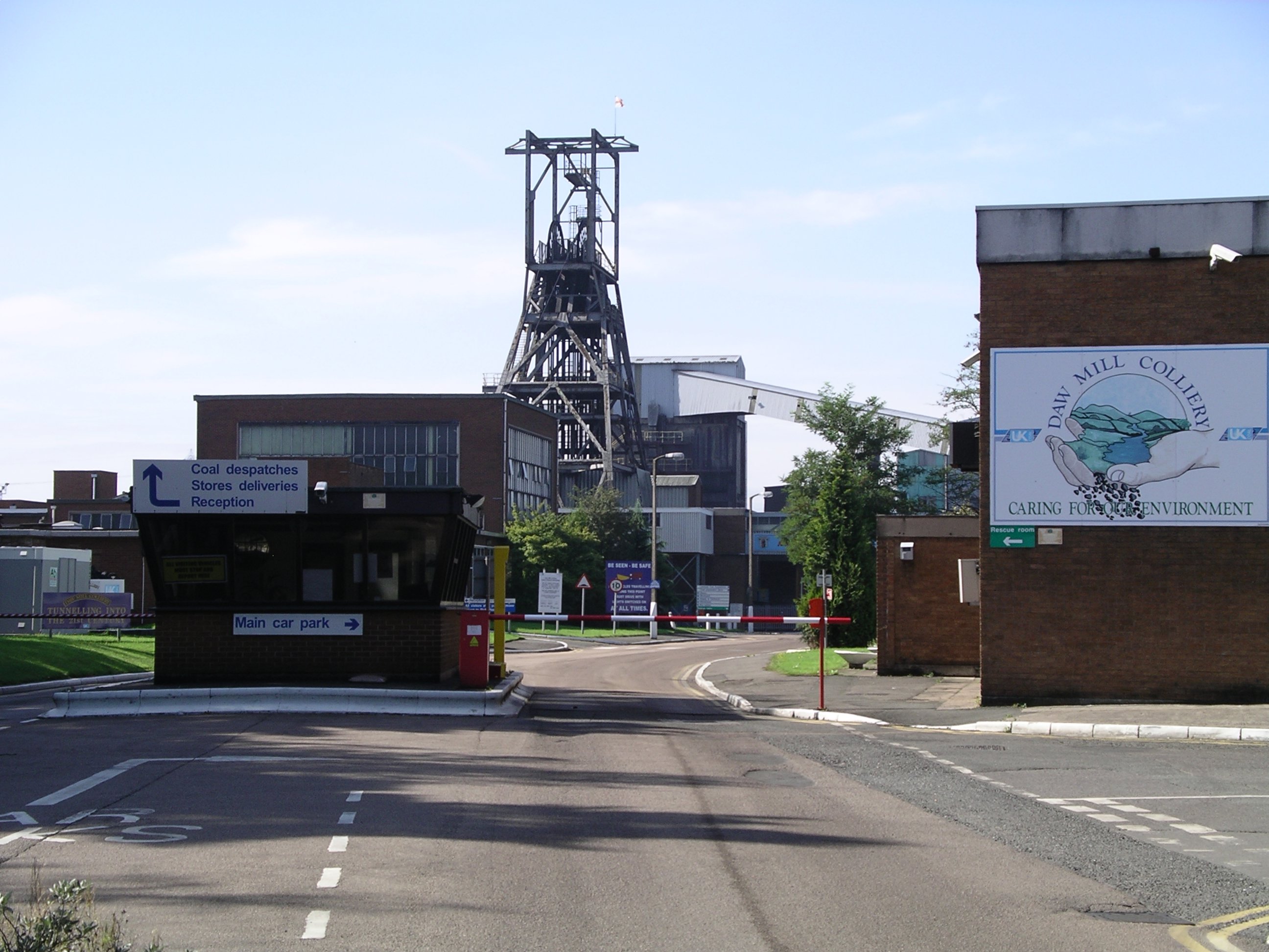
Daw Mill

Daw Mill was a coal mine located near the village of Arley, near Nuneaton, in the English county of Warwickshire. The mine was Britain's biggest coal producer...

Arley and Fillongley railway station

Arley and Fillongley railway station was a station on the Midland Railway, which operated in the Midland county of Warwickshire, in England. == History... ==

Maxstoke

Maxstoke is a hamlet and civil parish in the North Warwickshire district of the county of Warwickshire, England. It is situated approximately 2.5 miles...

Maxstoke air crash

The Maxstoke air crash occurred on the 19 August 1918. A No. 14 Aircraft Acceptance Park Handley Page O/400 of the Royal Air Force took off from Castle...

Maxstoke Castle

Maxstoke Castle is a privately owned moated castle dating from the 14th century, situated to the north of Maxstoke in Warwickshire, England. == History... ==

Over Whitacre

Over Whitacre is a village containing the hamlets of Botts Green, Furnace End and Monwode Lea in North Warwickshire, Warwickshire, England. The population...

Hermitage Manor

Hermitage Manor is a small manor house in Warwickshire (UK) with a trihedral moat, associated land and farm. A manor house or fortified manor-house is...

Nearby Amenities

Located within 500m of 52.489952,-1.634259
Barrier: kissing_gate
Source: memory
Lat/Long: 52.4907959/-1.6291627
Marker: yes
Source: visual survey;estimate
Utility: gas
Lat/Long: 52.4875553/-1.6341905
Barrier: kissing_gate
Source: survey
Lat/Long: 52.4860144/-1.6353905
Fire Hydrant
Emergency: fire_hydrant
Fire Hydrant Type: underground
Source: survey
Lat/Long: 52.4871054/-1.638367
Grit Bin
Source: survey
Lat/Long: 52.4877089/-1.6393916
The data included in this document is from www.openstreetmap.org. The data is made available under ODbL.

Have you been to Heach Wood?

Leave your review of Heach Wood below (or comments, questions and feedback).