Dumble Wood
Wood, Forest in Warwickshire North Warwickshire
England
Dumble Wood
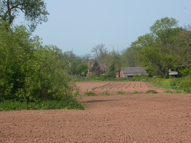
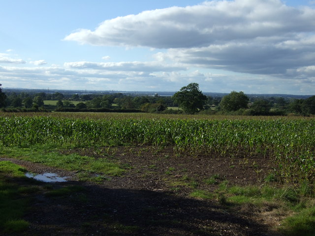
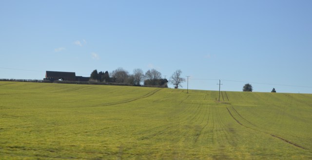
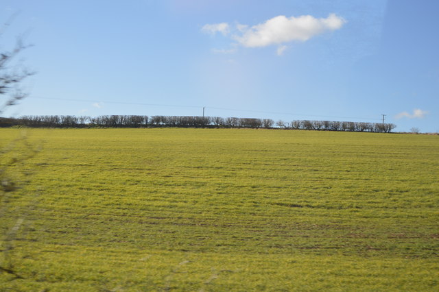
Dumble Wood is a picturesque woodland located in the county of Warwickshire, England. Situated near the village of Dumbleton, the wood covers an area of approximately 100 acres and is renowned for its natural beauty and diverse wildlife.
The woodland is primarily composed of deciduous trees, such as oak, ash, and beech, which create a dense canopy overhead, providing a cool and shaded environment. The forest floor is carpeted with a rich layer of moss, ferns, and wildflowers, adding to the enchanting atmosphere of the wood.
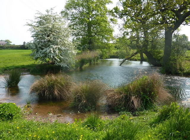
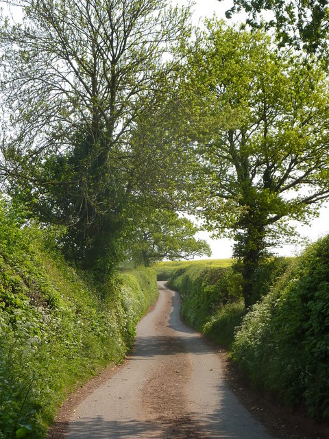
Dumble Wood is crisscrossed by a network of well-maintained footpaths, offering visitors the opportunity to explore its many hidden treasures. As one ventures deeper into the wood, they may come across babbling brooks, small ponds, and even a charming waterfall, creating a tranquil and serene ambiance.
The wood is home to a diverse range of wildlife, including deer, foxes, badgers, and numerous species of birds. Birdwatchers will be delighted to spot woodpeckers, owls, and a variety of songbirds, making Dumble Wood a haven for nature enthusiasts.
Throughout the year, the woodland undergoes a vibrant transformation, with the arrival of bluebells in spring, the lush green foliage in summer, and the striking colors of autumn. The changing seasons offer visitors a unique experience each time they visit, making Dumble Wood an ideal destination for nature walks, photography, or simply unwinding amidst nature's beauty.
With its idyllic scenery and abundant wildlife, Dumble Wood is a cherished natural gem in Warwickshire, attracting both locals and tourists alike who seek solace and connection with nature.
If you have any feedback on the listing, please let us know in the comments section below.
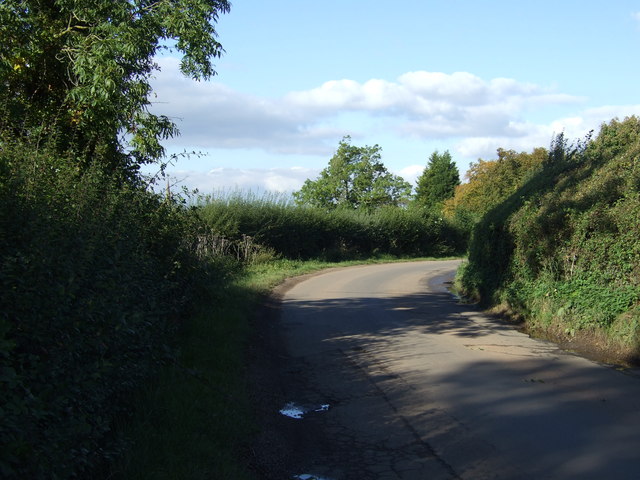
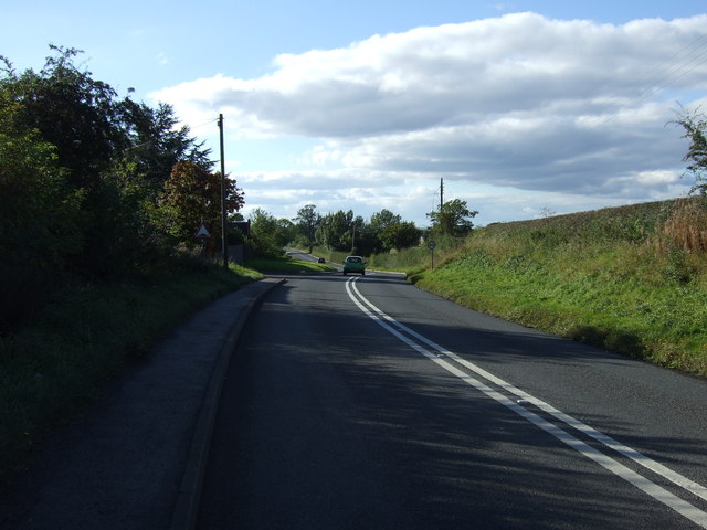
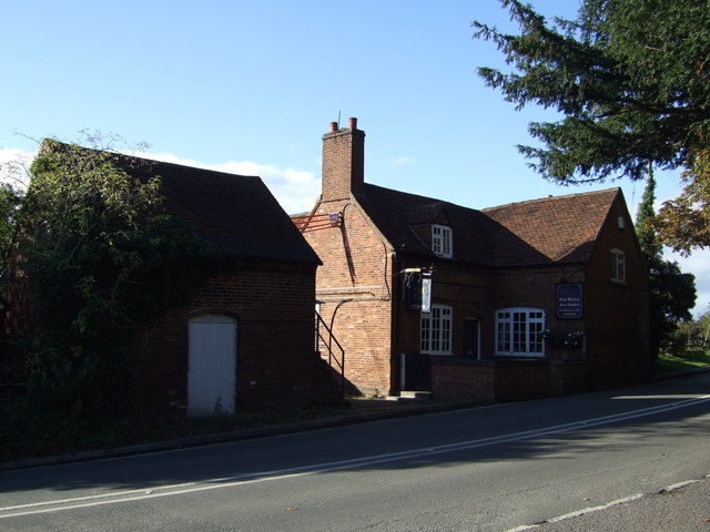
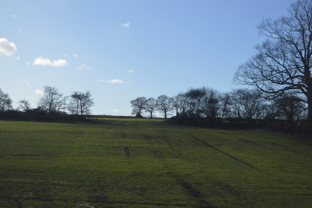
Dumble Wood Images
Images are sourced within 2km of 52.498054/-1.6436928 or Grid Reference SP2488. Thanks to Geograph Open Source API. All images are credited.


Dumble Wood is located at Grid Ref: SP2488 (Lat: 52.498054, Lng: -1.6436928)
Administrative County: Warwickshire
District: North Warwickshire
Police Authority: Warwickshire
What 3 Words
///thickened.slurs.prestige. Near Water Orton, Warwickshire
Nearby Locations
Related Wikis

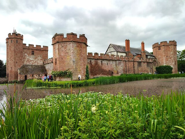
Maxstoke Castle
Maxstoke Castle is a privately owned moated castle dating from the 14th century, situated to the north of Maxstoke in Warwickshire, England. == History... ==
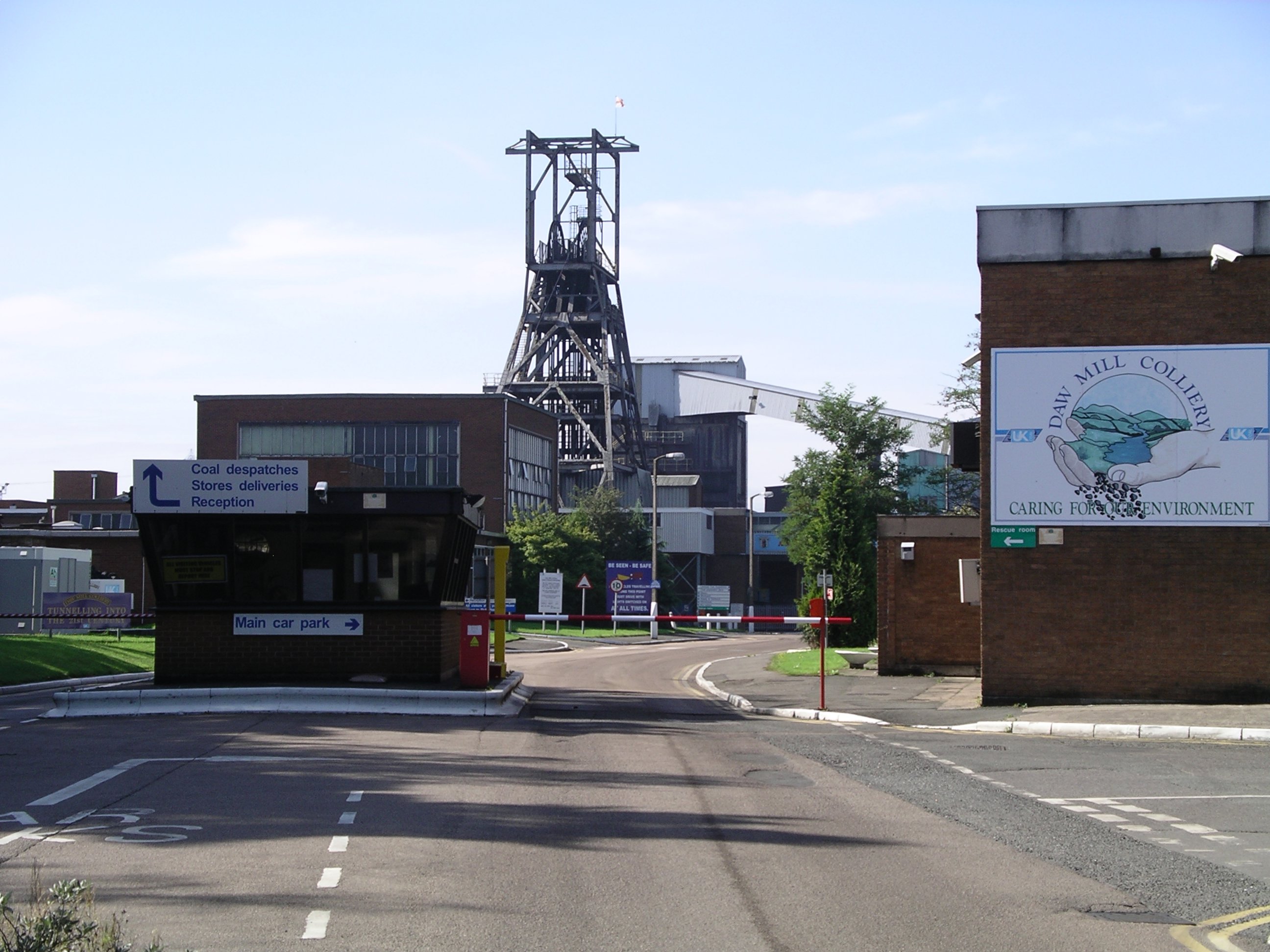
Daw Mill
Daw Mill was a coal mine located near the village of Arley, near Nuneaton, in the English county of Warwickshire. The mine was Britain's biggest coal producer...

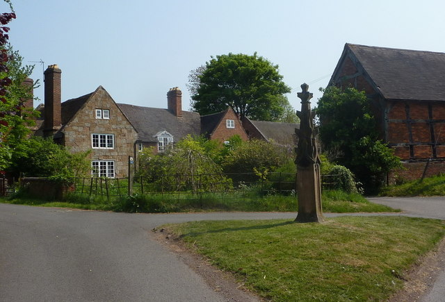
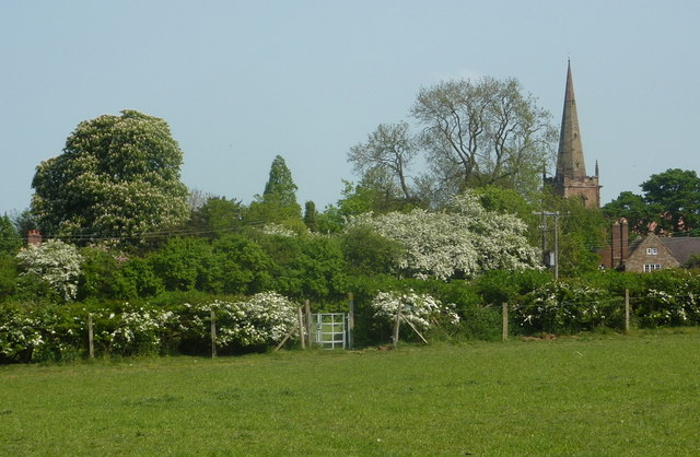
Shustoke
Shustoke is a village in the North Warwickshire district of the county of Warwickshire in England. The population of the civil parish at the 2011 census...

Shustoke railway station
Shustoke was a railway station on what is now the Birmingham to Peterborough Line between Whitacre Junction (now closed) and Arley and Fillongley (also...
Nearby Amenities
Located within 500m of 52.498054,-1.6436928Have you been to Dumble Wood?
Leave your review of Dumble Wood below (or comments, questions and feedback).