Barrashill Wood
Wood, Forest in Durham
England
Barrashill Wood
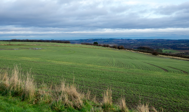
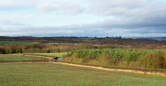
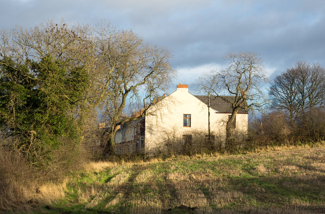
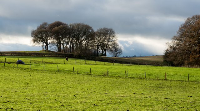
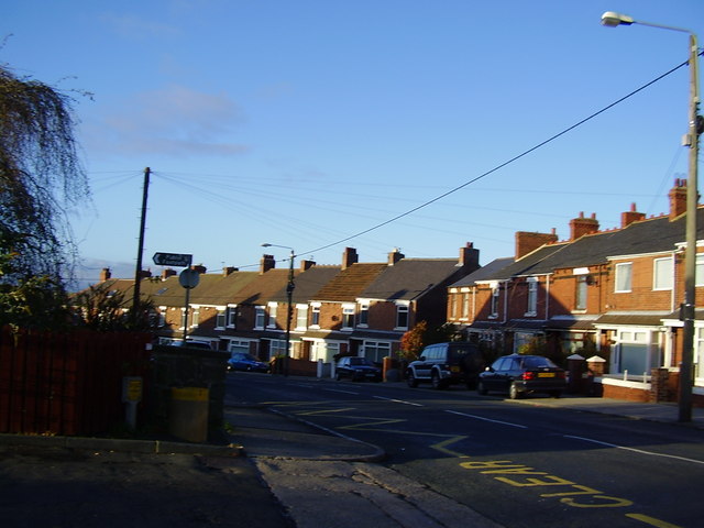
Barrashill Wood is a picturesque woodland located in County Durham, England. Spanning an area of approximately 50 acres, this enchanting forest is a haven for nature lovers and outdoor enthusiasts alike.
The wood is characterized by its diverse range of tree species, including oak, beech, and ash, which create a stunning canopy of foliage throughout the year. The forest floor is adorned with a rich carpet of bluebells and wildflowers during spring, adding to its natural beauty.
Traversing through Barrashill Wood, visitors can find a network of well-maintained walking trails, allowing them to explore the area at their own pace. These pathways wind through the dense woodland, offering glimpses of the local wildlife that call this forest home. Birdwatchers will delight in spotting various species of woodland birds, such as woodpeckers, nuthatches, and goldcrests.
In addition to its natural charm, Barrashill Wood also holds historical significance. The wood is believed to have been part of a medieval hunting ground, and remnants of old boundary walls and ditches can still be seen, providing a glimpse into the area's past.
Barrashill Wood offers a serene escape from the bustling city life, providing an opportunity to reconnect with nature and enjoy peaceful walks in a tranquil setting. Whether it be for a leisurely stroll, birdwatching, or simply immersing oneself in the beauty of the forest, Barrashill Wood is a true gem in the heart of Durham.
If you have any feedback on the listing, please let us know in the comments section below.
Barrashill Wood Images
Images are sourced within 2km of 54.819233/-1.613586 or Grid Reference NZ2447. Thanks to Geograph Open Source API. All images are credited.


Barrashill Wood is located at Grid Ref: NZ2447 (Lat: 54.819233, Lng: -1.613586)
Unitary Authority: County Durham
Police Authority: Durham
What 3 Words
///schematic.decently.married. Near Sacriston, Co. Durham
Nearby Locations
Related Wikis
Sacriston
Sacriston is a village and civil parish in County Durham, England, situated 3 miles (4.8 km) north of the city of Durham. Although the area has been populated...

Fyndoune Community College
Fyndoune Community College was a co-educational secondary school located in Sacriston, County Durham, England. Previous names have included Sacriston Secondary...
Tan Hills
Tan Hills is a village in County Durham, in England. It is situated close to Sacriston, Kimblesworth and Nettlesworth, between Durham and Chester-le-Street...
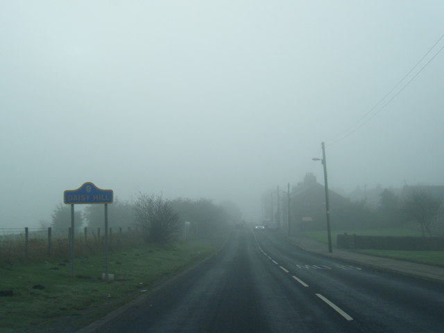
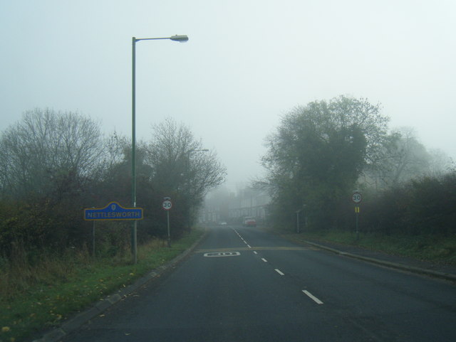
Nettlesworth
Nettlesworth is a small village in County Durham, in England. It is situated to the south of Chester-le-Street, near Sacriston. Nettlesworth is adjoined...

Kimblesworth
Kimblesworth is a village and former civil parish, now in the parish of Kimblesworth and Plawsworth, in the County Durham district, in the ceremonial county...

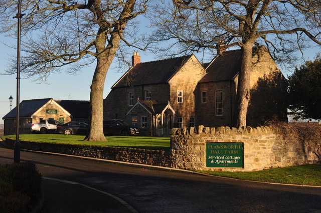
Plawsworth
Plawsworth is a village and former civil parish, now in the parish of Kimblesworth and Plawsworth, in the County Durham district, in the ceremonial county...
Witton Gilbert
Witton Gilbert is a village and civil parish in County Durham, England. == Geography == Witton Gilbert is situated about 3.7 miles (6.0 km) to the north...
Edmondsley
Edmondsley is a small village in County Durham, England. It is situated a few miles south-west of Chester-le-Street, near the villages of Craghead and...
Related Videos
Walk through Pity Me Carrs Nature reserve
Today we discovered this gorgeous walk , come And enjoy it with us !

Premier Inn Durham North Disabled Access Room With Wet Room Bathroom Room 33
A look around Room 33 Disabled Access With Wet Room at the Premier Inn Durham North, Durham, County Durham, England, ...

Waldridge Fell
It had been well over a month at this point since I had been out walking, never mind also taking the camera. I don't mind admitting ...

Red Lion Plawsworth County Durham
Lunch time sandwich. The sandwich menu is only available till 5pm so be sure to check it out on a dinner time!
Nearby Amenities
Located within 500m of 54.819233,-1.613586Have you been to Barrashill Wood?
Leave your review of Barrashill Wood below (or comments, questions and feedback).