Lady Park
Wood, Forest in Durham
England
Lady Park

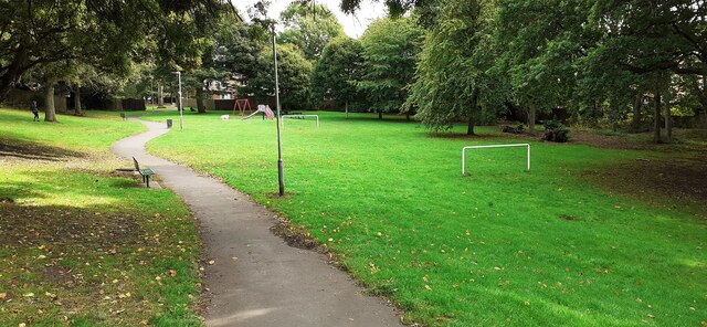
Lady Park, Durham, also known as Wood or Forest, is a picturesque area located in the county of Durham, England. It is renowned for its natural beauty and is a popular destination for nature enthusiasts and outdoor lovers.
Covering an expansive area of lush greenery, Lady Park offers a diverse landscape that includes dense woodlands, rolling hills, and meandering streams. The forest is predominantly composed of deciduous trees, such as oak, beech, and ash, creating a vibrant and colorful canopy throughout the seasons.
The park boasts an extensive network of walking trails and paths, allowing visitors to explore the area and immerse themselves in its tranquility. These trails offer stunning views of the surrounding countryside and provide opportunities for spotting various wildlife species, including deer, foxes, and a wide variety of birds.
In addition to its natural beauty, Lady Park also holds historical significance. The area is dotted with ancient ruins and remnants of old settlements, providing a glimpse into its rich past. The park is home to several archaeological sites, including burial mounds and stone circles, which add an element of mystery and intrigue to the area.
Lady Park is a haven for those seeking a peaceful retreat from the hustle and bustle of city life. Whether it's a leisurely stroll, a picnic by the river, or simply basking in the serenity of nature, this enchanting forest offers a truly rejuvenating experience for all who visit.
If you have any feedback on the listing, please let us know in the comments section below.
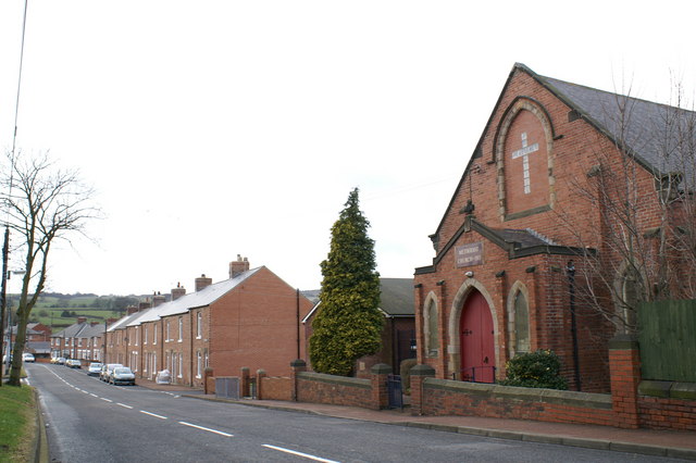
Lady Park Images
Images are sourced within 2km of 54.920291/-1.6211373 or Grid Reference NZ2458. Thanks to Geograph Open Source API. All images are credited.


Lady Park is located at Grid Ref: NZ2458 (Lat: 54.920291, Lng: -1.6211373)
Unitary Authority: Gateshead
Police Authority: Northumbria
What 3 Words
///case.prep.unit. Near Lamesley, Tyne & Wear
Nearby Locations
Related Wikis

Lamesley
Lamesley is a village and civil parish in the Metropolitan Borough of Gateshead, Tyne and Wear, England. The population of the civil parish at the 2011...

Grace College, Gateshead
Grace College (formerly Joseph Swan School, then Joseph Swan Academy) is a mixed secondary school with academy status situated in south Gateshead, England...

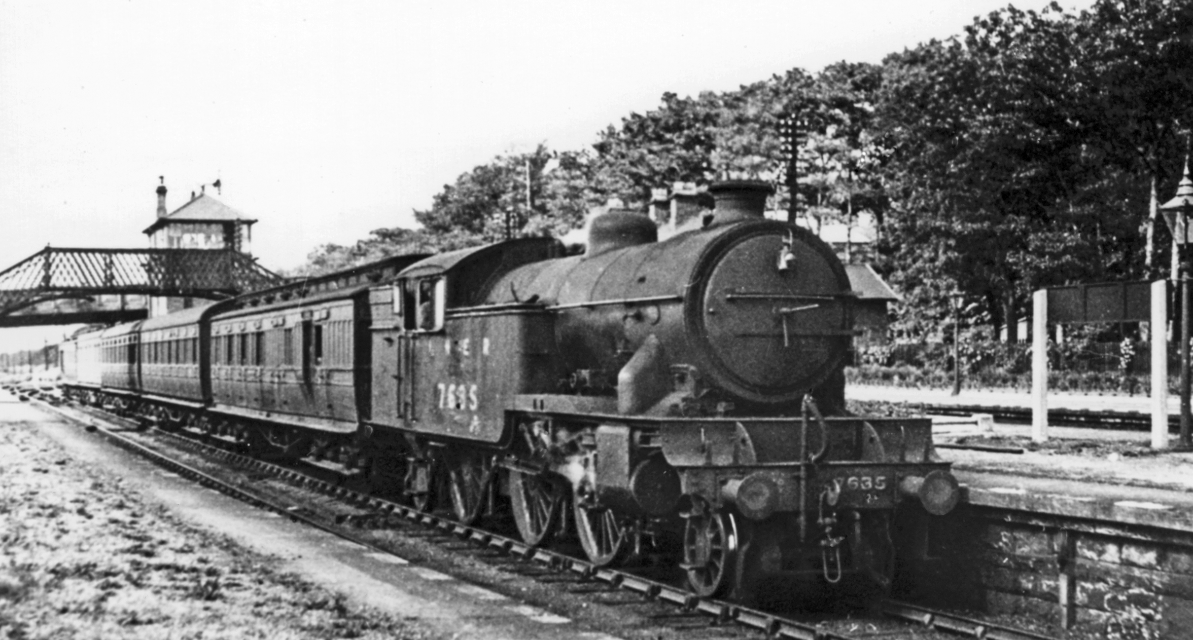
Lamesley railway station
Lamesley railway station served the village of Lamesley, Tyne and Wear, England from 1868 to 1959 on the East Coast Main Line. == History == The station...
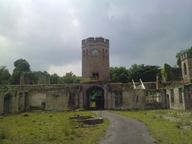
Ravensworth Castle, Lamesley
Ravensworth Castle is a ruinous Grade II* listed building and a Scheduled Ancient Monument situated at Lamesley, Tyne and Wear, England. The building has...

Team Valley
Team Valley is a trading estate located in Gateshead. It is home to the Retail World retail park, with many large, international companies based in the...

Tyne Yard
Tyne Yard (TY) is a railway yard in Birtley, England, on the East Coast Main Line, operated by DB Cargo UK. The yard is the major freight yard of the North...
Low Fell railway station
Low Fell railway station served the Low Fell area of Gateshead between 1868 and 1952. == History == The station was opened by the North Eastern Railway...
Kibblesworth
Kibblesworth is a village 2 miles (3.2 km) west of Birtley, Tyne and Wear, England. Kibblesworth was a mainly rural community until the development of...
Nearby Amenities
Located within 500m of 54.920291,-1.6211373Have you been to Lady Park?
Leave your review of Lady Park below (or comments, questions and feedback).