Abyssinia Plantation
Wood, Forest in Yorkshire Hambleton
England
Abyssinia Plantation
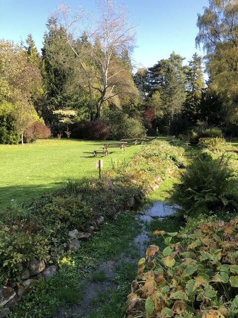
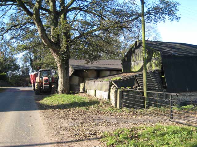
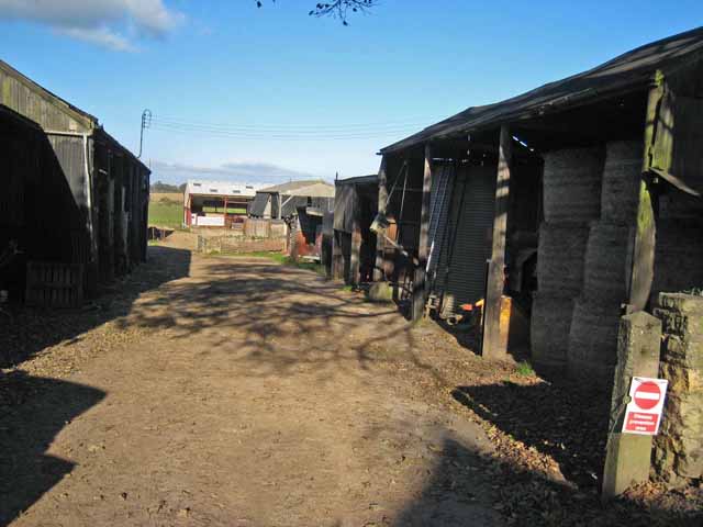
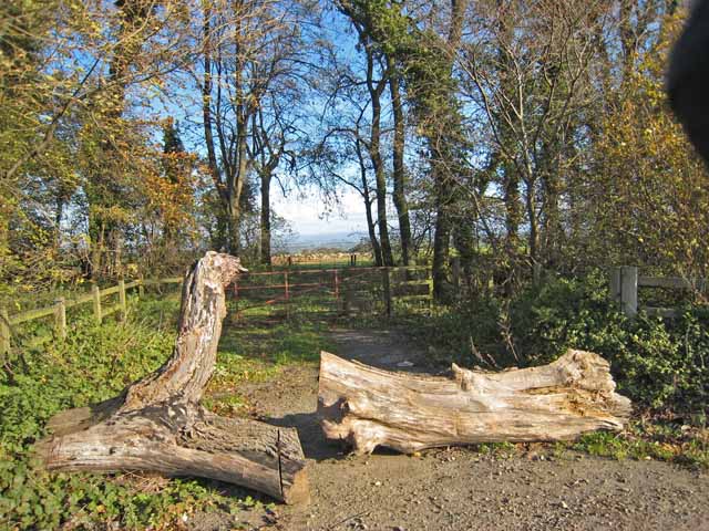
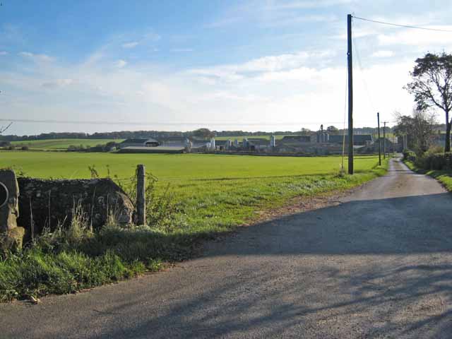
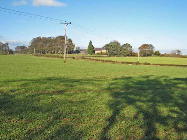
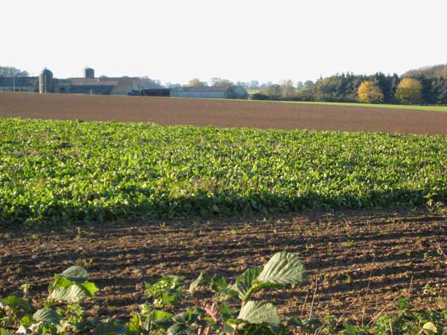
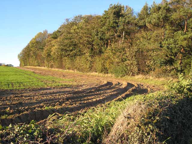
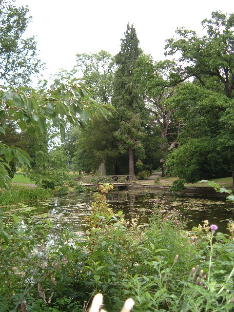
Abyssinia Plantation is a renowned woodland area located in Yorkshire, England. Situated in the heart of the county, the plantation covers a vast area of lush greenery and is known for its serene beauty and diverse flora and fauna.
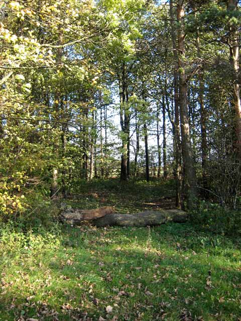
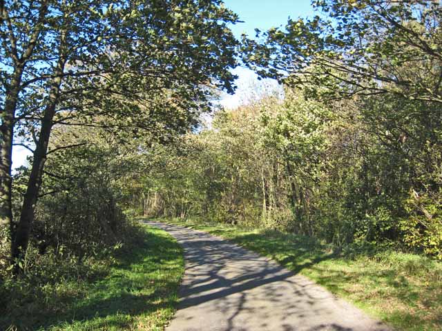
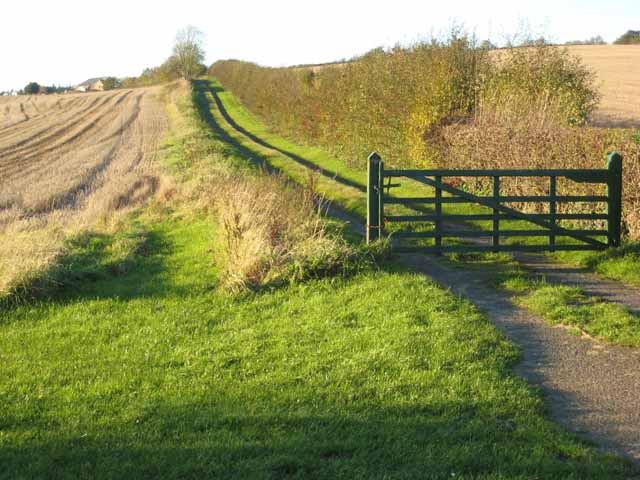
The woodland is primarily composed of various species of trees, including oak, birch, beech, and ash, which create a dense canopy overhead. The plantation is well-maintained, with clearly marked walking trails that wind through the forest, allowing visitors to explore its natural wonders at their own pace.
Abyssinia Plantation is home to a wide range of wildlife, including deer, foxes, rabbits, and numerous bird species. Bird enthusiasts can spot various species such as woodpeckers, owls, and thrushes, making it an ideal destination for birdwatching.
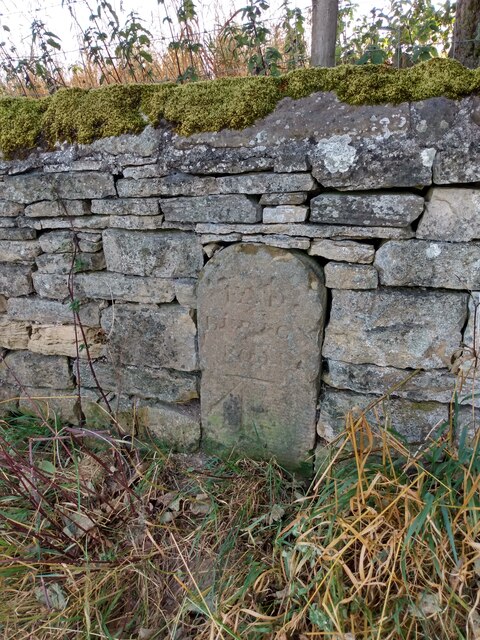
In addition to its natural beauty, the plantation holds historical significance. Dating back centuries, it was once part of a grand estate and played a vital role in the local timber industry. Today, remnants of its past can still be observed through the old stone walls and ruins scattered throughout the woodland, adding an element of mystique to the overall experience.
Visitors to Abyssinia Plantation can enjoy a peaceful and tranquil environment, perfect for relaxation and rejuvenation. Whether it's a leisurely stroll, a picnic amidst nature, or simply taking in the breathtaking scenery, this woodland oasis offers something for everyone seeking solace in the heart of Yorkshire.
If you have any feedback on the listing, please let us know in the comments section below.
Abyssinia Plantation Images
Images are sourced within 2km of 54.251366/-1.6273356 or Grid Reference SE2484. Thanks to Geograph Open Source API. All images are credited.
Abyssinia Plantation is located at Grid Ref: SE2484 (Lat: 54.251366, Lng: -1.6273356)
Division: North Riding
Administrative County: North Yorkshire
District: Hambleton
Police Authority: North Yorkshire
What 3 Words
///sleepless.public.ranking. Near Masham, North Yorkshire
Nearby Locations
Related Wikis
Thornton Watlass
Thornton Watlass is a small village and civil parish in North Yorkshire, England. It is located north of Masham and south of Bedale on the eastern slopes...
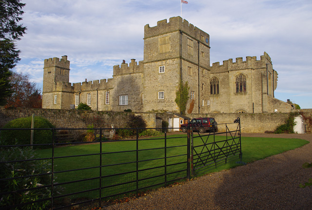
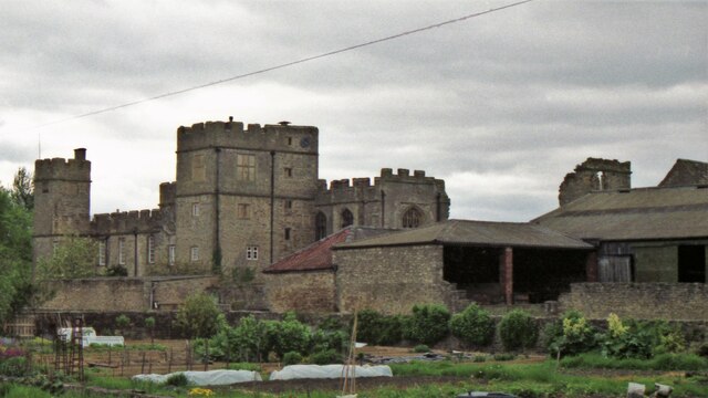
Snape Castle
Snape Castle is a semi-fortified manor house in the village of Snape, North Yorkshire, England. The castle is 3 miles (5 km) south of Bedale and 19 miles...

Thornton Watlass Hall
Thornton Watlass Hall is a large Grade I listed Georgian country house in Thornton Watlass, North Yorkshire, England, some 3 miles (5 km) north of Masham...
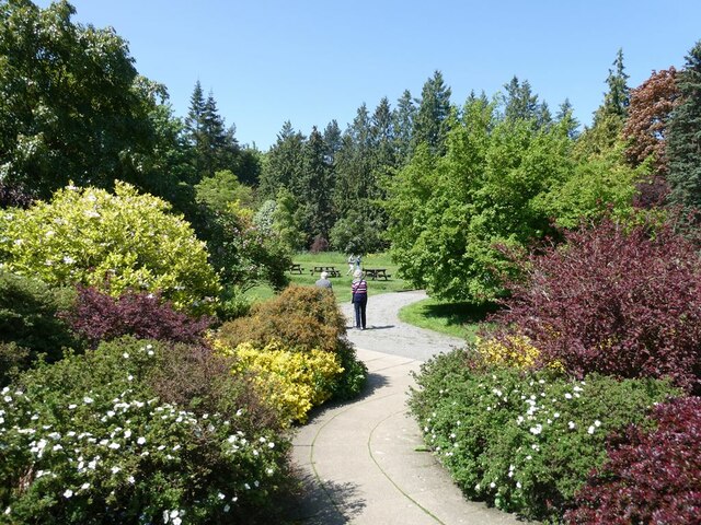
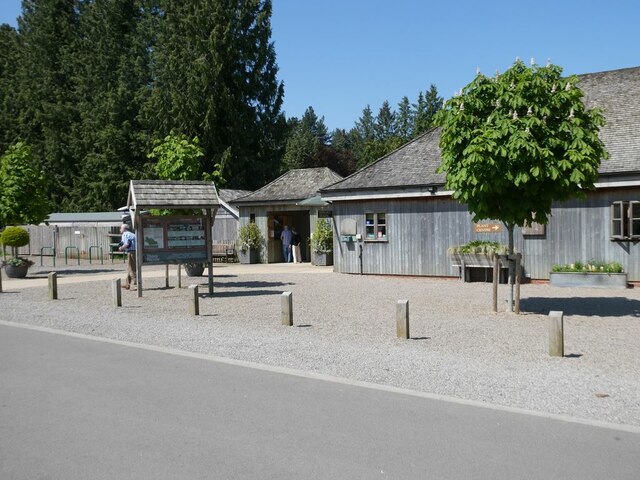
Thorp Perrow Arboretum
Thorp Perrow Arboretum is an 85-acre (34 ha) woodland garden arboretum near Bedale in North Yorkshire, England. == History == Thorp is a common place-name...

Snape with Thorp
Snape with Thorp is a civil parish in the Hambleton District of North Yorkshire, England. It comprises the village of Snape and the hamlet of Thorp. The...

Snape, North Yorkshire
Snape is a large village in the civil parish of Snape with Thorp in North Yorkshire, England, located about 3 miles (5 km) south of Bedale and 3 miles...

Clifton-on-Yore
Clifton-on-Yore is a civil parish in the Hambleton district of North Yorkshire, England. The population of the parish was estimated at 40 in 2010. The...

Mar Field Fen
Mar Field Fen is a Site of Special Scientific Interest, or SSSI, north of Masham, North Yorkshire, England, in a rural area known as Marfield. It is situated...
Nearby Amenities
Located within 500m of 54.251366,-1.6273356Have you been to Abyssinia Plantation?
Leave your review of Abyssinia Plantation below (or comments, questions and feedback).