Grange Plantation

Wood, Forest in Durham

England

Grange Plantation

Enclosed ground east of Broomy Holm The farm at Broomy Holm lies north of the village of Edmondsley. The ground could be regarded as being a field but appears to be entirely uncultivated
Enclosed ground east of Broomy Holm Credit: Trevor Littlewood

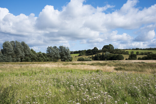
Grange Plantation, located in Durham, England, is a serene woodland area known for its rich history and natural beauty. Situated within the larger Grange Estate, the plantation covers an extensive area of approximately 100 acres. The plantation, also referred to as Grange Wood or Grange Forest, is renowned for its diverse range of tree species, including oak, beech, and ash.

With its origins dating back to the medieval period, Grange Plantation has been carefully managed over the centuries to preserve its ecological integrity. The woodland is home to various animal species, including deer, foxes, and a plethora of birdlife, making it an ideal location for nature lovers and wildlife enthusiasts.

Visitors to Grange Plantation can explore the well-maintained walking trails that wind through the forest, providing an opportunity to immerse oneself in the tranquility of nature. The plantation also features several picnic areas, allowing visitors to relax and enjoy the peaceful surroundings.

Grange Plantation holds historical significance as it once served as part of the larger Grange Estate, which belonged to the Durham Priory. Today, the plantation is managed by a local conservation trust, ensuring the preservation of its natural beauty and historical heritage for future generations to appreciate.

Overall, Grange Plantation offers a perfect escape from the hustle and bustle of urban life, providing a haven of tranquility and natural splendor for visitors to enjoy.

If you have any feedback on the listing, please let us know in the comments section below.

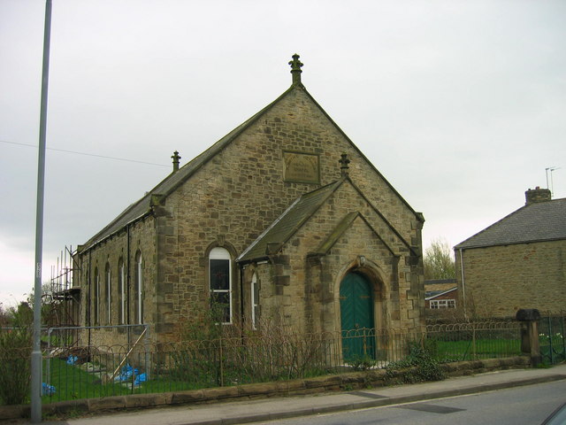
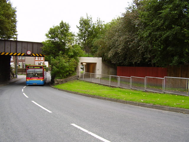
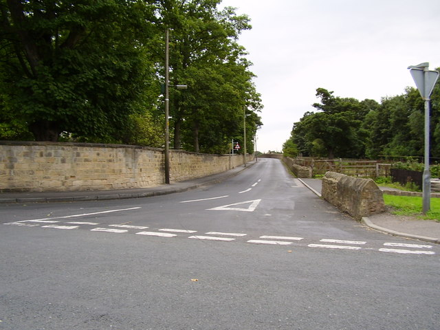
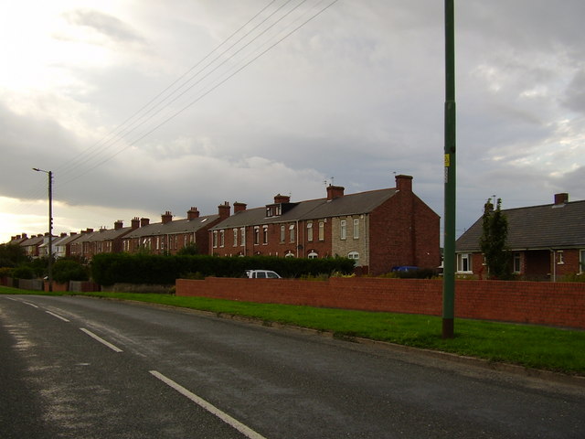
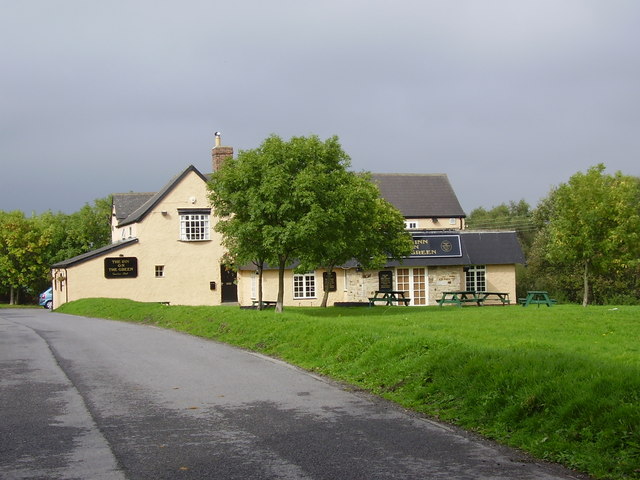
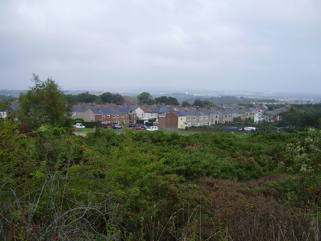
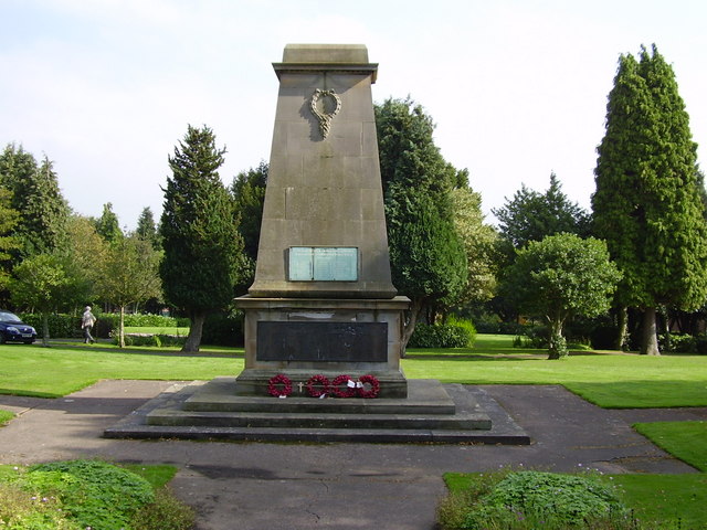
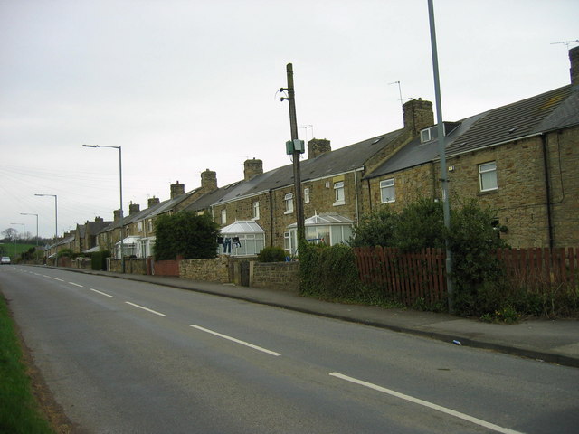
Grange Plantation Images

Images are sourced within 2km of 54.859456/-1.624932 or Grid Reference NZ2451. Thanks to Geograph Open Source API. All images are credited.

Enclosed ground east of Broomy Holm The farm at Broomy Holm lies north of the village of Edmondsley. The ground could be regarded as being a field but appears to be entirely uncultivated
Enclosed ground east of Broomy Holm
The farm at Broomy Holm lies north of the village of Edmondsley. The ground could be regarded as being a field but appears to be entirely uncultivated
Pelton War Memorial Pelton Parish Council launched a campaign in June 2018 to raise the funds required to create the memorial, which will sit in Pelton Cemetery, there are 28 War Graves Commission burials from the two world wars sited in the cemetery.
Darlington-based master stonemason David France was commissioned to create the memorial, which features a cross, a steel soldier’s helmet and a steel poppy on the front. The monument is made from a 12.5 tonne piece of sandstone taken from the Witton Fell quarry at Leyburn in North Yorkshire.
An official dedication and unveiling ceremony led by Reverend John Lintern, vicar of Pelton Holy Trinity Church took place on 20th October 2019.
The steel helmet is a copy of the Brodie helmet worn by Tommies during World War 1. The helmet was designed by Latvian, Leopold Janno Braude, anglicized to John Leopold Brodie. It was designed to protect the soldier from shrapnel shell projectiles bursting from above the trenches rather than direct rifle shots. By the end of the First World War around nine million of these 'tin hats' has been made.
Pelton War Memorial
Pelton Parish Council launched a campaign in June 2018 to raise the funds required to create the memorial, which will sit in Pelton Cemetery, there are 28 War Graves Commission burials from the two world wars sited in the cemetery. Darlington-based master stonemason David France was commissioned to create the memorial, which features a cross, a steel soldier’s helmet and a steel poppy on the front. The monument is made from a 12.5 tonne piece of sandstone taken from the Witton Fell quarry at Leyburn in North Yorkshire. An official dedication and unveiling ceremony led by Reverend John Lintern, vicar of Pelton Holy Trinity Church took place on 20th October 2019. The steel helmet is a copy of the Brodie helmet worn by Tommies during World War 1. The helmet was designed by Latvian, Leopold Janno Braude, anglicized to John Leopold Brodie. It was designed to protect the soldier from shrapnel shell projectiles bursting from above the trenches rather than direct rifle shots. By the end of the First World War around nine million of these 'tin hats' has been made.
Holy Trinity Church, Pelton Built from 1841-2 by G. Jackson.
Holy Trinity Church, Pelton
Built from 1841-2 by G. Jackson.
Fire Station High Handenhold High Handenhold Fire Station was opened on 9th October 1997 and provides fire and rescue cover for approximately 89 sq km (34.5 sq m) bordering with Tyne and Wear Metropolitan Fire Brigade.
Fire Station High Handenhold
High Handenhold Fire Station was opened on 9th October 1997 and provides fire and rescue cover for approximately 89 sq km (34.5 sq m) bordering with Tyne and Wear Metropolitan Fire Brigade.
Fox and Parrot Wood Nature Reserve This nature reserve is owned by the Woodland Trust
Fox and Parrot Wood Nature Reserve
This nature reserve is owned by the Woodland Trust
Grange Villa, Stone Row
Primitive Methodist Chapel Grange Villa Built in 1877
Primitive Methodist Chapel Grange Villa
Built in 1877
West Pelton, Co. Durham, St Paul's Church
Newfield Inn
Newfield Inn
Bridge carrying CtoC cycle path and underpass the bus is the 809 to Chester le Street
Bridge carrying CtoC cycle path and underpass
the bus is the 809 to Chester le Street
Station Lane from Pelton Front Street
Grange Terrace, Pelton Fell
Inn on the Green Waldridge Village near Chester le Street County Durham
Inn on the Green Waldridge Village
near Chester le Street County Durham
Waldridge Village Former colliery village
Waldridge Village
Former colliery village
Waldridge Village
Waldridge Village
Eden Hill Vets West Pelton County Durham
Pelton Fell Memorial Park
Cenotaph Pelton Fell Memorial Park
Show me another place!

Grange Plantation is located at Grid Ref: NZ2451 (Lat: 54.859456, Lng: -1.624932)

Unitary Authority: County Durham

Police Authority: Durham

What 3 Words

///ready.storm.care. Near Pelton, Co. Durham

Related Wikis

Grange Villa

Grange Villa is a village situated in County Durham, England. It is located between the towns of Stanley and Chester-le-Street. == History == Grange Villa...

Roseberry College

Roseberry College and Sixth Form was a state-funded secondary school and sixth form in County Durham, England, founded in 1963 and closed in 2014. The...

Newfield, Chester-le-Street

Newfield is a village in County Durham, England. It lies west of the town of Chester-le-Street, and falls partly within the civil parish of Pelton. In...

Pelton Fell

Pelton Fell is a village in County Durham, UK == History == On the place of the current Pelton Fell, the Miner's Institute was built in 1889 and later...

Pelton railway station

Pelton railway station served the village of Pelton, County Durham, England, from 1860 to 1955 on the Stanhope and Tyne Railway. == History == The first...
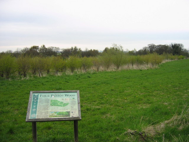
Fox & Parrot Wood

Fox & Parrot Wood is a broadleaf woodland in County Durham, England, about 4 miles (6 km) west of Chester-le-Street. It is situated just north of the B6313...

Pelton, County Durham

Pelton is a village and electoral ward in County Durham, in England. The population of the village and ward taken at the 2011 census was 8,250. It is located...

Perkinsville, County Durham

Perkinsville is a village in County Durham, in England. It is situated immediately to the north of Pelton, to the north-west of Chester-le-Street. There...

Nearby Amenities

Located within 500m of 54.859456,-1.624932
Bus Stop
Grange Terrace
Bench: yes
Bin: yes
Bus: yes
Departures Board: timetable
Naptan AtcoCode: 13002403B
Naptan Bearing: NE
Naptan CommonName: Grange Terrace
Naptan Indicator: north east bound
Naptan Landmark: Landmark not known
Naptan NaptanCode: duramwga
Naptan Notes: B6313 Beamish View- in front of 35 Grange Terrace- Pelton Fell- W of Chester-Le-Street
Naptan Street: B6313 Pelton Fell Road
Naptan Verified: no
Public Transport: platform
Shelter: yes
Source: naptan_import
Lat/Long: 54.8581782/-1.6174968
Bus Stop
Grange Terrace
Bench: no
Bus: yes
Naptan AtcoCode: 13002403F
Naptan Bearing: SW
Naptan CommonName: Grange Terrace
Naptan Indicator: south west bound
Naptan Landmark: Landmark not known
Naptan NaptanCode: duramwgd
Naptan Notes: B6313 Beamish View- in front of 35 Grange Terrace- Pelton Fell- W of Chester-Le-Street
Naptan Street: B6313 Pelton Fell Road
Naptan Verified: no
Public Transport: platform
Shelter: yes
Source: naptan_import
Lat/Long: 54.8579968/-1.618095
Bus Stop
The Moorings
Bench: no
Bin: no
Bus: yes
Lit: yes
Naptan AtcoCode: 13002404B
Naptan Bearing: NE
Naptan CommonName: The Moorings
Naptan Indicator: north east bound
Naptan Landmark: Landmark not known
Naptan NaptanCode: duramwgj
Naptan Notes: B6313 Beamish View- opposite The Moorings (PH)- approx 200m W of road leading to Tribley Farm
Naptan Street: B6313 Beamish View
Naptan Verified: yes
Public Transport: platform
Shelter: no
Source: naptan_import
Tactile Paving: no
Lat/Long: 54.8568592/-1.6261604
Bus Stop
The Moorings
Bench: no
Bin: no
Bus: yes
Lit: yes
Naptan AtcoCode: 13002404G
Naptan Bearing: W
Naptan CommonName: The Moorings
Naptan Indicator: west bound
Naptan Landmark: Landmark not known
Naptan NaptanCode: duramwgm
Naptan Notes: B6313 Beamish View- in front of The Moorings (PH)- approx 200m W of road leading to Tribley Far
Naptan Street: B6313 Beamish View
Naptan Verified: yes
Public Transport: platform
Shelter: no
Source: naptan_import
Tactile Paving: no
Lat/Long: 54.8566827/-1.6272369
Power: pole
Lat/Long: 54.8583342/-1.6208181
Power: pole
Lat/Long: 54.8607438/-1.6187277
Power: pole
Lat/Long: 54.8557331/-1.6289451
Material: wood
Power: pole
Lat/Long: 54.8567155/-1.6287219
Power: pole
Lat/Long: 54.8570991/-1.6276164
Material: wood
Power: pole
Lat/Long: 54.857205/-1.6196319
Power: pole
Lat/Long: 54.8575973/-1.626253
Power: pole
Lat/Long: 54.8580912/-1.6249814
Power: pole
Lat/Long: 54.8585594/-1.6237335
Power: pole
Lat/Long: 54.859083/-1.6223953
Power: pole
Lat/Long: 54.8595601/-1.6211098
Power: pole
Lat/Long: 54.860011/-1.619888
Power: pole
Lat/Long: 54.8608473/-1.6191806
Hett Hills
Place: locality
Lat/Long: 54.8566947/-1.6285354
Power: pole
Lat/Long: 54.8573262/-1.6262877
Power: pole
Lat/Long: 54.8575454/-1.6251853
Power: pole
Lat/Long: 54.8577924/-1.6240132
Power: pole
Lat/Long: 54.8581267/-1.6224106
Power: pole
Lat/Long: 54.8584656/-1.6207919
Power: pole
Lat/Long: 54.8588068/-1.6191906
Power: pole
Lat/Long: 54.859148/-1.6175437
Power: pole
Lat/Long: 54.85906/-1.6202152
Power: pole
Lat/Long: 54.8597902/-1.6195929
The data included in this document is from www.openstreetmap.org. The data is made available under ODbL.

Have you been to Grange Plantation?

Leave your review of Grange Plantation below (or comments, questions and feedback).