Parkside Wood
Wood, Forest in Derbyshire Derbyshire Dales
England
Parkside Wood

Parkside Wood is a picturesque woodland located in Derbyshire, England. Covering an area of approximately 50 acres, it is situated on the outskirts of the charming village of Parkside. The wood is known for its diverse range of trees, including oak, beech, ash, and birch, which create a stunning canopy of greenery throughout the year.
The woodland is a haven for wildlife, providing a natural habitat for various species. Visitors can often spot squirrels, rabbits, and a wide variety of bird species, such as woodpeckers and owls. The tranquil atmosphere makes it a perfect spot for nature enthusiasts and photographers seeking to capture the beauty of the natural world.
Parkside Wood offers a network of well-maintained trails, allowing visitors to explore the area at their own pace. The paths wind their way through the forest, offering glimpses of wildflowers, ferns, and moss-covered rocks. There are also designated picnic areas where visitors can relax and enjoy a packed lunch amidst the serene surroundings.
The wood is managed by the local authorities, who ensure that it remains a pleasant and safe place for visitors to enjoy. They conduct regular maintenance, including tree pruning and litter clearance, to preserve the natural beauty of the wood. Additionally, there are information boards throughout the wood, providing educational insights into the local flora and fauna.
Parkside Wood is a true gem in Derbyshire, offering a peaceful retreat from the hustle and bustle of everyday life. Whether you are looking for a leisurely stroll, a family picnic, or a chance to connect with nature, this woodland is a must-visit destination.
If you have any feedback on the listing, please let us know in the comments section below.
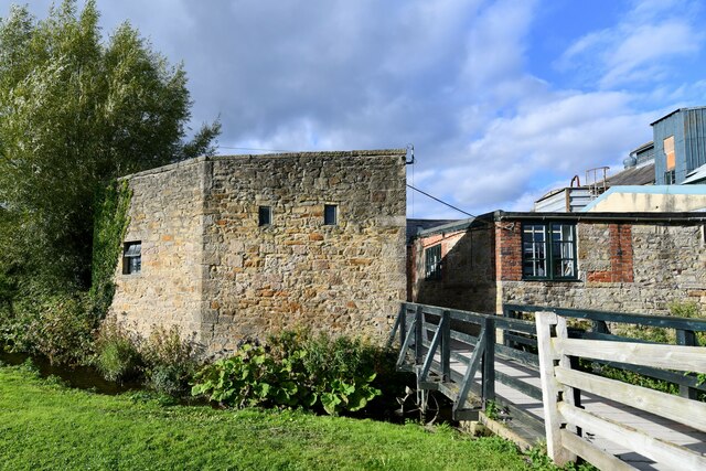
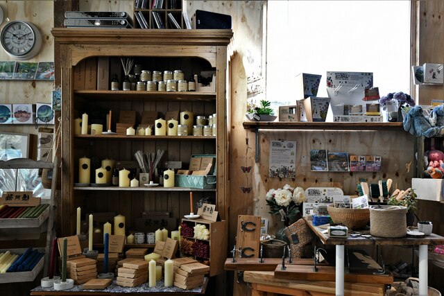
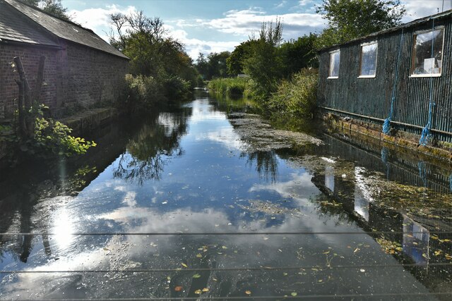
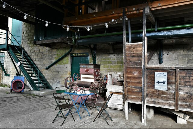
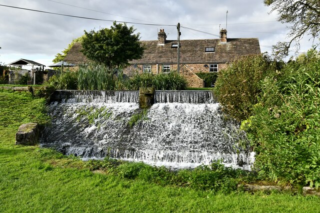
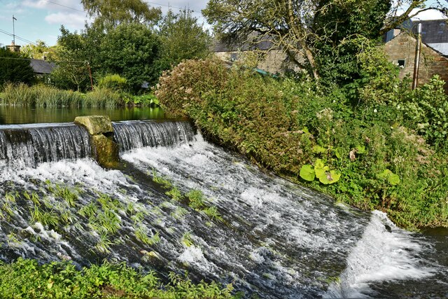
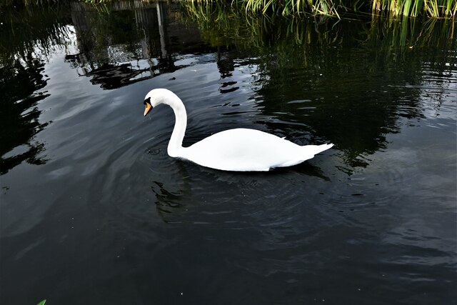
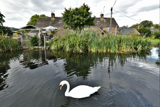
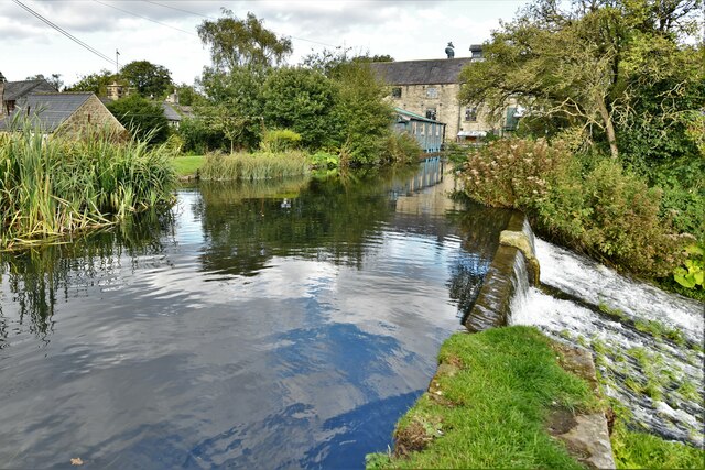
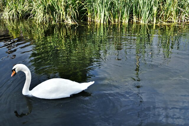
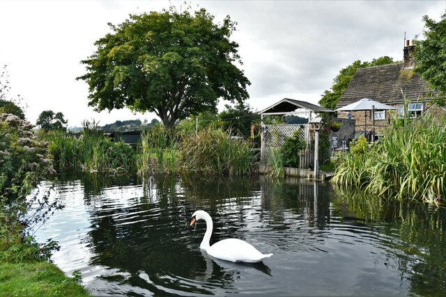
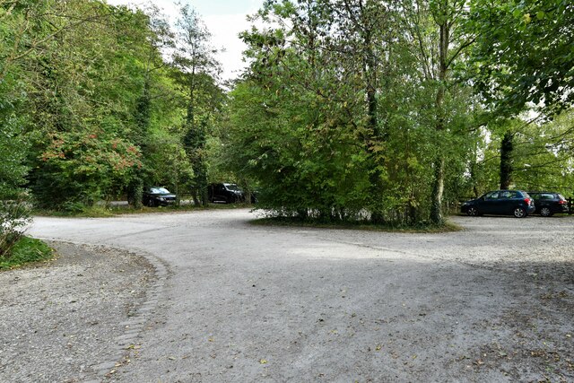
Parkside Wood Images
Images are sourced within 2km of 53.19174/-1.6398137 or Grid Reference SK2466. Thanks to Geograph Open Source API. All images are credited.


Parkside Wood is located at Grid Ref: SK2466 (Lat: 53.19174, Lng: -1.6398137)
Administrative County: Derbyshire
District: Derbyshire Dales
Police Authority: Derbyshire
What 3 Words
///radar.assurance.morphing. Near Bakewell, Derbyshire
Nearby Locations
Related Wikis

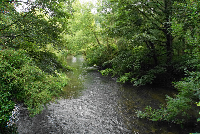
River Lathkill
The River Lathkill is a river in the Peak District National Park in Derbyshire, England. First recorded in 1280, the name "Lathkill" possibly has Scandinavian...
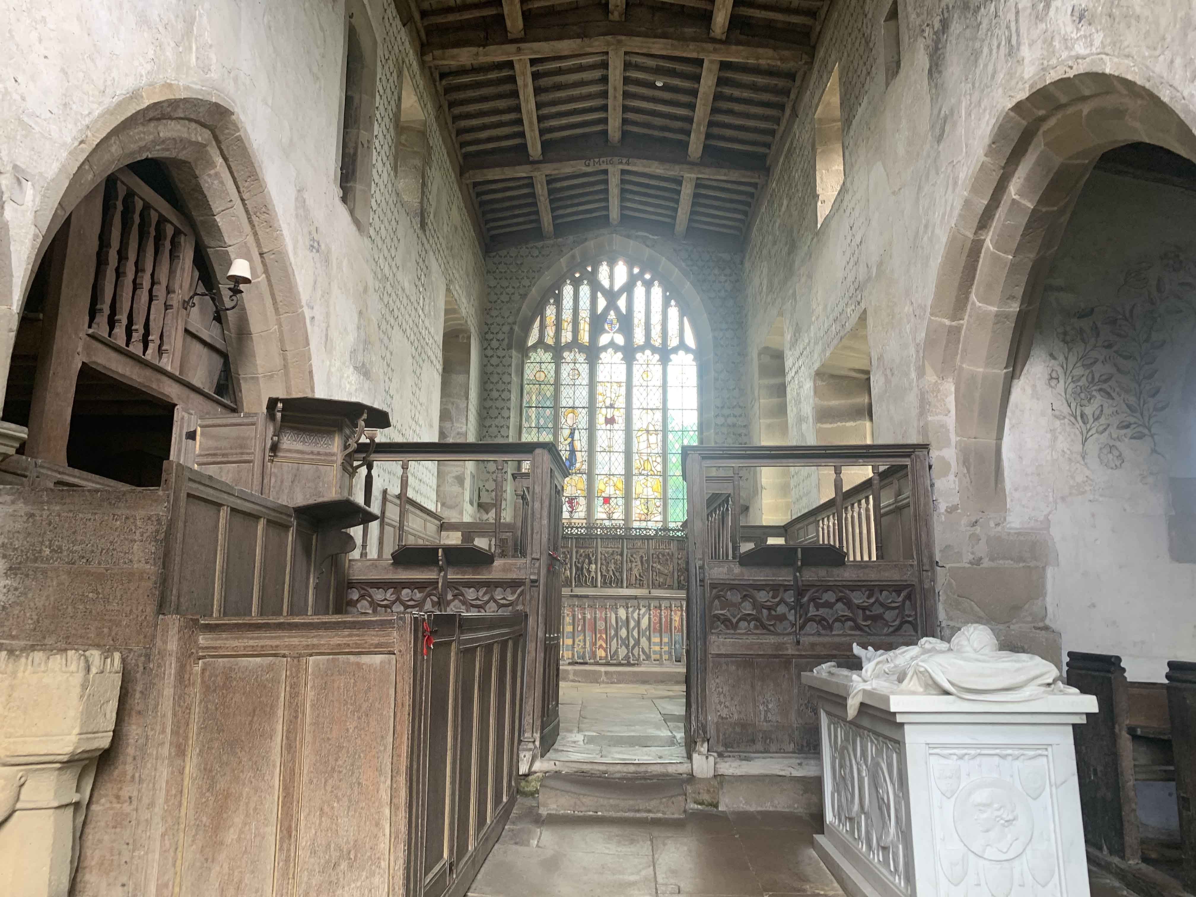
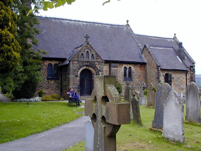
Chapel of St Nicholas, Haddon Hall
The Chapel St John Nicholas, Haddon Hall is a Grade I listed Church of England chapel in Haddon Hall, Derbyshire. The chapel's origins are Norman, with...
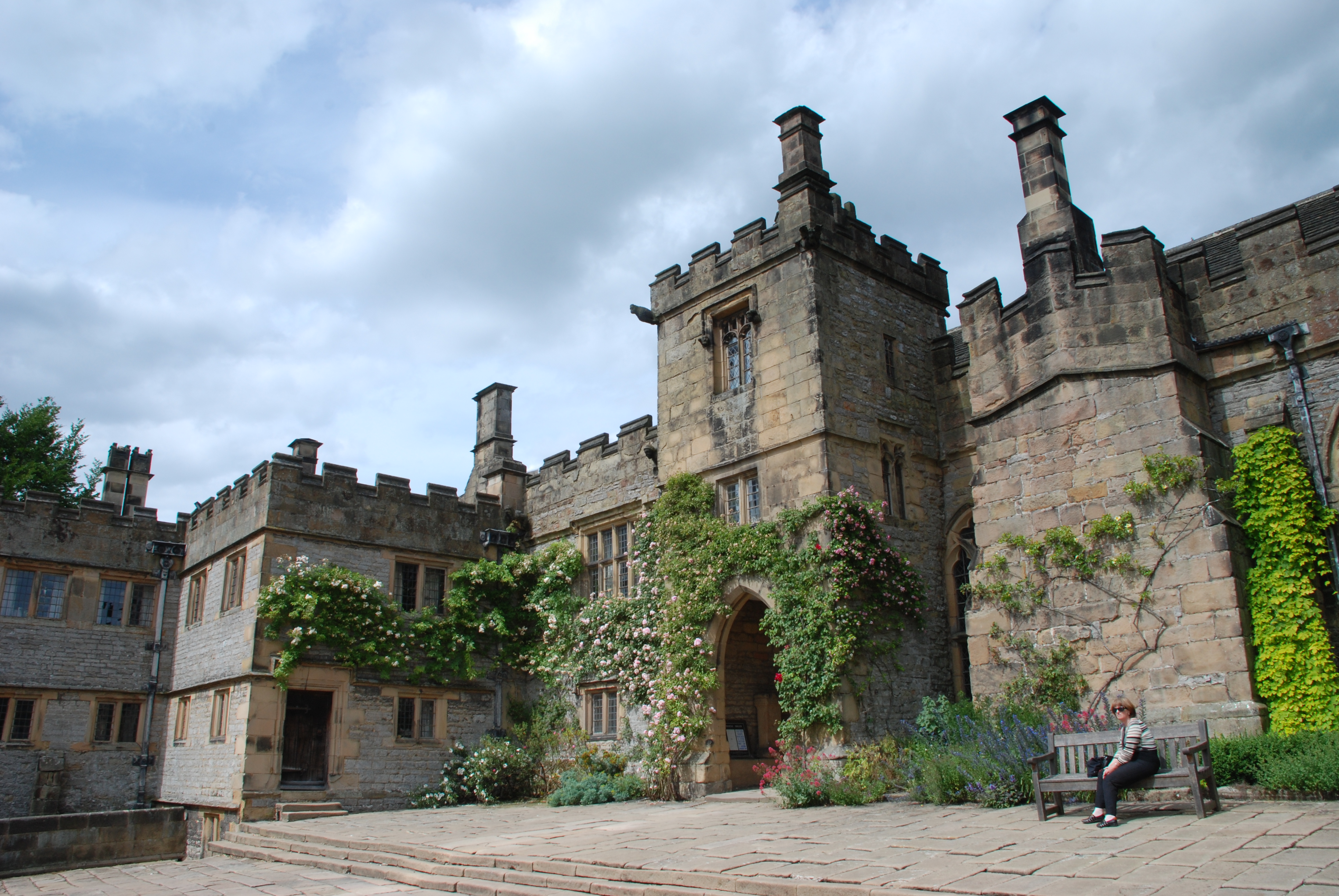
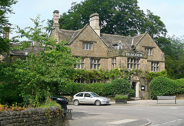
Haddon Hall
Haddon Hall is an English country house on the River Wye near Bakewell, Derbyshire, a former seat of the Dukes of Rutland. It is the home of Lord Edward...
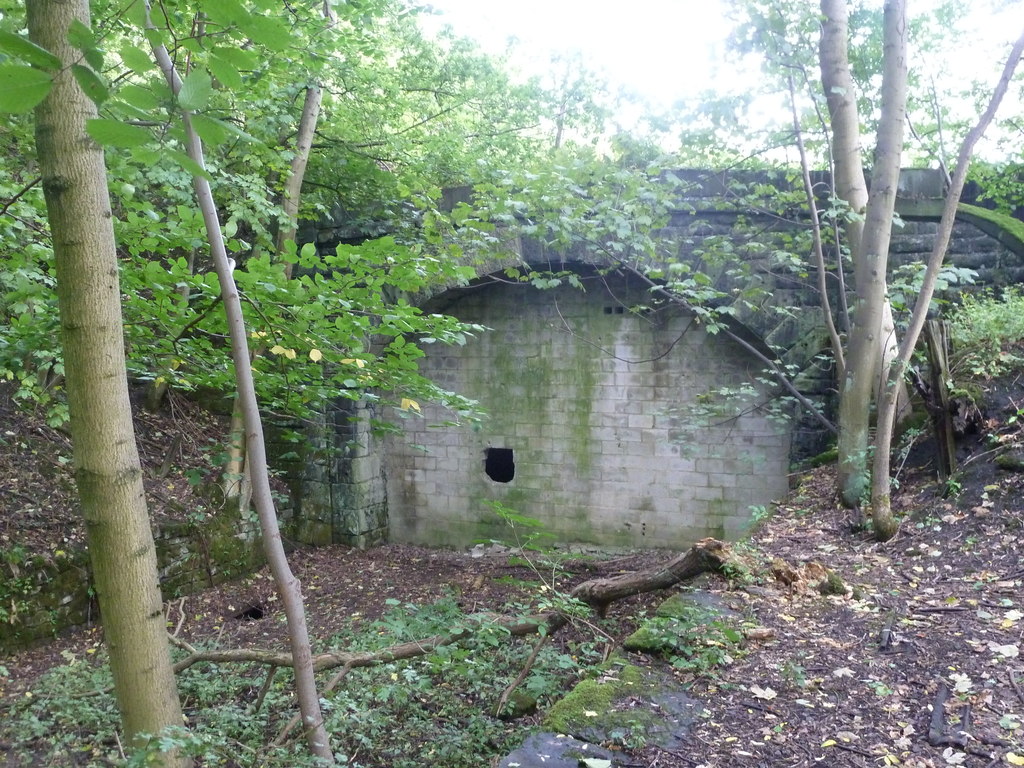
Haddon Tunnel
Haddon Tunnel was built by the Midland Railway in 1863 when extending the Manchester, Buxton, Matlock and Midlands Junction Railway from Rowsley to Buxton...
Nether Haddon
Nether Haddon is a sparsely populated village and civil parish in Derbyshire, England. It is immediately downstream along the River Wye from the small...
St Katherine's Church, Rowsley
St Katherine's Church, Rowsley is a Grade II listed parish church in the Church of England: 312 in Rowsley, Derbyshire. == History == The foundation stone...
Rowsley
Rowsley () is a village on the A6 road in the English county of Derbyshire. The population as at the 2011 census was 507.It is at the point where the River...
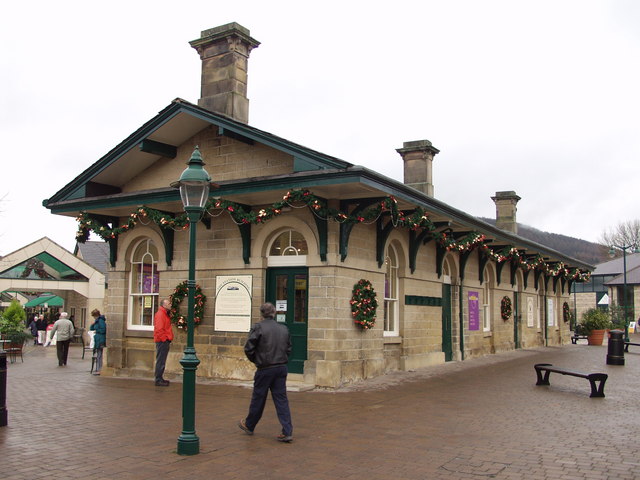
Rowsley railway station
The original Rowsley railway station was opened in 1849 by the Manchester, Buxton, Matlock and Midlands Junction Railway to serve the village of Rowsley...
Nearby Amenities
Located within 500m of 53.19174,-1.6398137Have you been to Parkside Wood?
Leave your review of Parkside Wood below (or comments, questions and feedback).