Dark Gill Wood

Wood, Forest in Durham

England

Dark Gill Wood

River Wear at Page Bank A rural scene today, but in the early 1900s there was a colliery with associated coke works and brick works alongside a colliery village at Page Bank, served by a branch line from Spennymoor.
River Wear at Page Bank Credit: David Robinson

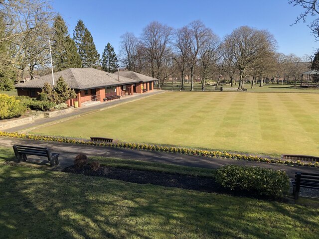
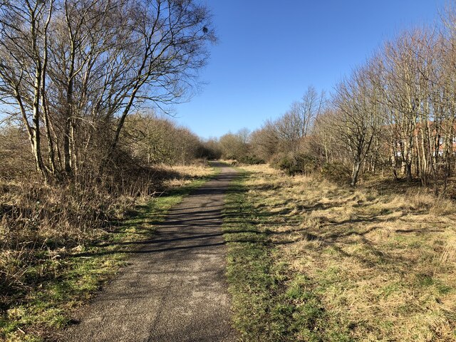
Dark Gill Wood is a picturesque forest located in the county of Durham, England. Situated near the village of Gill, this woodland covers a vast area of approximately 100 acres. The name "Dark Gill" aptly describes the dense, shadowy nature of the woodland, which is characterized by its thick canopy of mature trees.

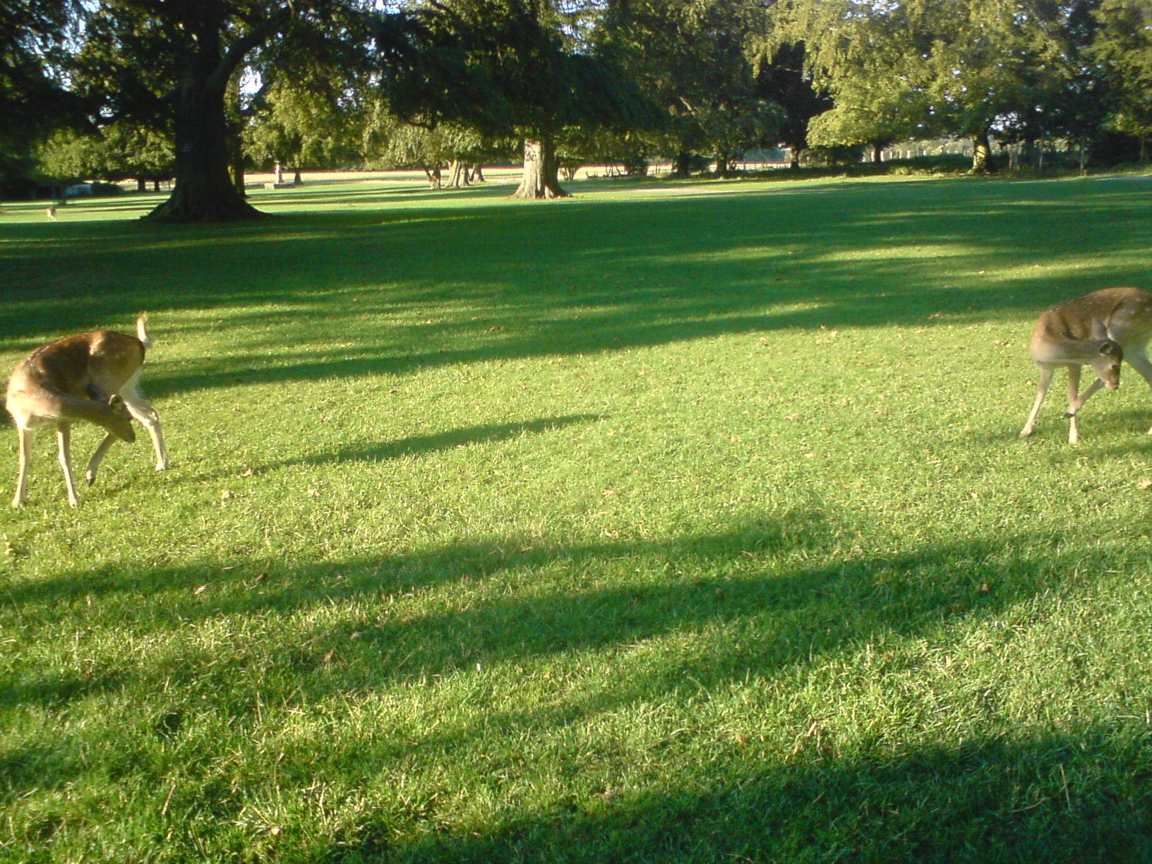
As one explores Dark Gill Wood, they will encounter a diverse range of tree species, including oak, beech, ash, and birch. These towering trees create a serene and peaceful atmosphere, providing a habitat for a variety of wildlife. The forest floor is adorned with a carpet of mosses, ferns, and wildflowers, adding to the natural beauty of the woodland.

The wood is intersected by a small stream known as Gill Beck, which meanders through the forest, adding a sense of tranquility to the surroundings. This stream is home to a myriad of aquatic life, including small fish and water insects.

Dark Gill Wood is a popular destination for nature enthusiasts, hikers, and birdwatchers. The tranquil environment and abundant wildlife make it an ideal spot for birdwatching, with species such as woodpeckers, owls, and various songbirds frequently spotted in the area.

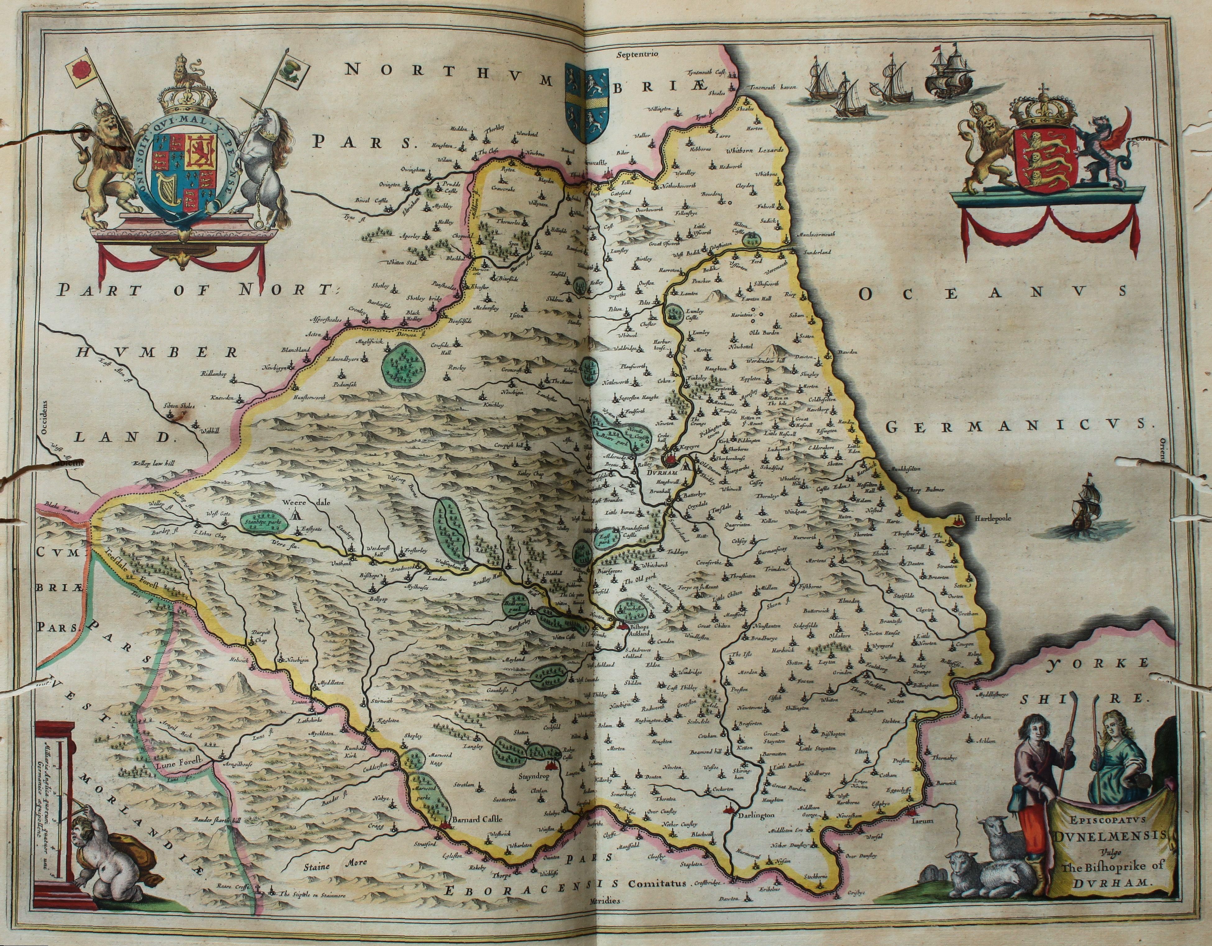
The wood is also steeped in history, with remnants of ancient settlements and old mining activities still visible. These historical features add an additional layer of intrigue and fascination to Dark Gill Wood, making it a fascinating place to explore for those interested in the region's past.

Overall, Dark Gill Wood is a natural haven of beauty and tranquility, offering visitors a chance to escape the hustle and bustle of daily life and immerse themselves in the wonders of nature.

If you have any feedback on the listing, please let us know in the comments section below.

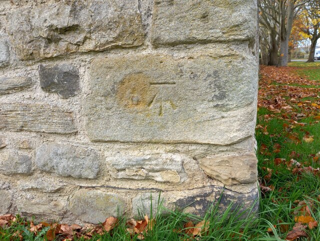
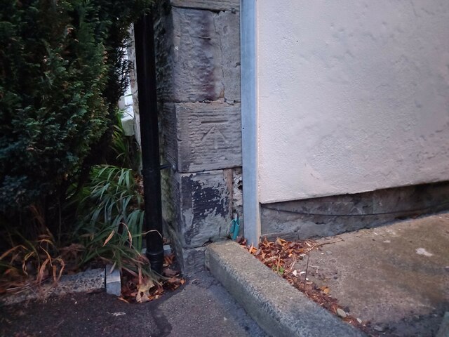
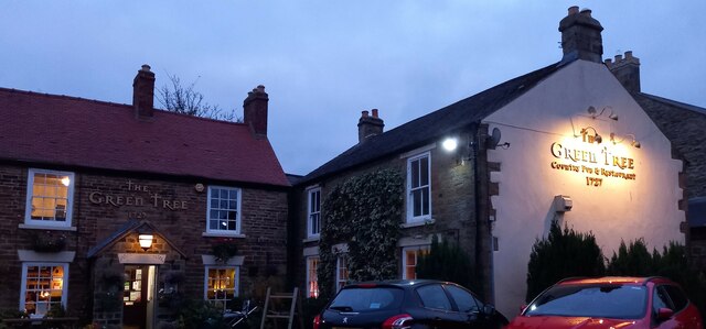
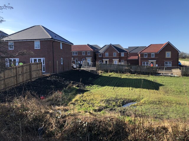
Dark Gill Wood Images

Images are sourced within 2km of 54.713923/-1.6264773 or Grid Reference NZ2435. Thanks to Geograph Open Source API. All images are credited.

River Wear at Page Bank A rural scene today, but in the early 1900s there was a colliery with associated coke works and brick works alongside a colliery village at Page Bank, served by a branch line from Spennymoor.
River Wear at Page Bank
A rural scene today, but in the early 1900s there was a colliery with associated coke works and brick works alongside a colliery village at Page Bank, served by a branch line from Spennymoor.
River Wear Near Page Bank
River Wear Near Byers Green
Tudhoe Village green The benchmark is cut into the right corner stone of a private house, south east facing and looking over the village green.
Tudhoe Village green
The benchmark is cut into the right corner stone of a private house, south east facing and looking over the village green.
Tudhoe Village, green There is a benchmark cut into the right corner stone of the outbuilding of the private house. The house is south east facing and looking over the village green.
Tudhoe Village, green
There is a benchmark cut into the right corner stone of the outbuilding of the private house. The house is south east facing and looking over the village green.
Tudhoe, The Green Tree The benchmark is cut into the south west face of the pub. This part of the property had been previously 37 The Village and a private house.
Tudhoe, The Green Tree
The benchmark is cut into the south west face of the pub. This part of the property had been previously 37 The Village and a private house.
Tudhoe, The Green Tree There is a benchmark cut into a left cornerstone of the gable end of the pub. This part of the property had been previously 37 The Village and a private house.
Tudhoe, The Green Tree
There is a benchmark cut into a left cornerstone of the gable end of the pub. This part of the property had been previously 37 The Village and a private house.
Hagg Lane Track linking Byers Green and Whitworth, also a public footpath.
Hagg Lane
Track linking Byers Green and Whitworth, also a public footpath.
Track Crossing Burton Beck
New Housing Development, Spennymoor Extension of the Burton Woods development in Spennymoor.
New Housing Development, Spennymoor
Extension of the Burton Woods development in Spennymoor.
Bowling Green, Spennymoor
Footpath, Spennymoor Though not part of the Auckland Way, the footpath uses the same former railway alignment, becoming the Auckland Way at the edge of the town and continuing to Bishop Auckland.
Footpath, Spennymoor
Though not part of the Auckland Way, the footpath uses the same former railway alignment, becoming the Auckland Way at the edge of the town and continuing to Bishop Auckland.
Reflections in River Wear
River Wear near Spring Wood
Path through Spring Wood
Tudhoe Village Green
Whitworth Hall Hotel Grounds With fallow deer and the Bobby Shafto memorial beyond
Whitworth Hall Hotel Grounds
With fallow deer and the Bobby Shafto memorial beyond
Whitworth Parish Church View of the west gable which has two shelters for medieval effigies of a lady and a knight
Whitworth Parish Church
View of the west gable which has two shelters for medieval effigies of a lady and a knight
Show me another place!

Dark Gill Wood is located at Grid Ref: NZ2435 (Lat: 54.713923, Lng: -1.6264773)

Unitary Authority: County Durham

Police Authority: Durham

What 3 Words

///mushroom.survived.configure. Near Spennymoor, Co. Durham

Related Wikis

Page Bank

Page Bank is a village in County Durham, in England. It is situated on the north bank of the River Wear to the east of Willington and to the north-west...

Whitworth Hall, County Durham

Whitworth Hall which stands in Whitworth Hall Country Park, near Spennymoor, County Durham England, is a country house, formerly the home of the Shafto...

Whitworth Hall Country Park

Whitworth Hall Country Park is a parkland based set in 73 acres (300,000 m2) 8 miles (13 km) from Durham in England, which rests on the outskirts of the...

Whitworth, County Durham

Whitworth was a civil parish in County Durham, in England, centred on Whitworth Hall. It was one of several parishes abolished in 1937 to create the parish...

Tudhoe Grange

Tudhoe Grange is a suburb of Spennymoor, in County Durham, in England. Originally it was just a couple of farms on the edge of Tudhoe township, swallowed...

Spennymoor Town F.C.

Spennymoor Town Football Club is a football club based in Spennymoor, County Durham, in the North East of England. They currently compete in the National...

Diocese of Durham

The Diocese of Durham is a Church of England diocese, based in Durham, and covering the historic county of Durham (and therefore including the part of...

Byers Green

Byers Green is a village and former civil parish, now in the parish of Spennymoor, in the County Durham district, in the ceremonial county of Durham, England...

Nearby Amenities

Located within 500m of 54.713923,-1.6264773
Woodhouse Farm
Place: farm
Source Name: OS OpenData StreetView
Lat/Long: 54.7124867/-1.6249895
Power: pole
Lat/Long: 54.7132064/-1.6299865
Ford: stepping_stones
Lat/Long: 54.7149936/-1.6329275
Power: pole
Lat/Long: 54.7131692/-1.6299985
Power: pole
Lat/Long: 54.7127532/-1.6311841
Power: pole
Lat/Long: 54.7120993/-1.6321577
Barrier: entrance
Lat/Long: 54.7139247/-1.6279114
Barrier: entrance
Lat/Long: 54.7144876/-1.6280145
Barrier: stile
Foot: yes
Stile: stepover
Lat/Long: 54.7164325/-1.6298163
Power: pole
Lat/Long: 54.7144087/-1.6336061
Power: pole
Lat/Long: 54.7140198/-1.6327491
Power: pole
Lat/Long: 54.713627/-1.6318493
Power: pole
Lat/Long: 54.7132389/-1.6310003
Power: pole
Lat/Long: 54.7131669/-1.628695
Power: pole
Lat/Long: 54.7131274/-1.6273901
Power: pole
Lat/Long: 54.7130406/-1.624492
Power: pole
Lat/Long: 54.7129995/-1.62301
Power: pole
Lat/Long: 54.7129561/-1.6215388
Power: pole
Lat/Long: 54.7129197/-1.6203788
Power: pole
Lat/Long: 54.7123945/-1.6199081
The data included in this document is from www.openstreetmap.org. The data is made available under ODbL.

Have you been to Dark Gill Wood?

Leave your review of Dark Gill Wood below (or comments, questions and feedback).