Meadow Wood
Wood, Forest in Warwickshire Warwick
England
Meadow Wood
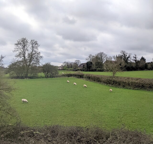
Meadow Wood is a picturesque forest located in the heart of Warwickshire, England. Covering an area of approximately 100 acres, it is a haven for nature lovers and outdoor enthusiasts alike. The wood is known for its diverse flora and fauna, making it a popular destination for wildlife enthusiasts and birdwatchers.
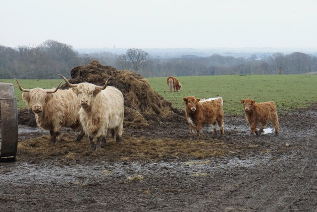
The woodland is predominantly composed of oak trees, with some areas featuring majestic beech and pine trees. The forest floor is carpeted with a vibrant array of wildflowers during the spring and summer months, creating a stunning display of colors. The wood is also home to a variety of animal species including deer, foxes, badgers, and a wide range of bird species.
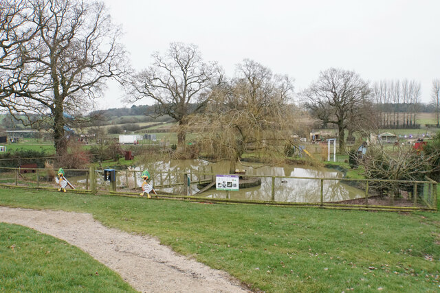
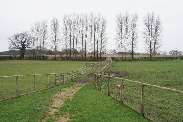
Several well-maintained walking trails wind their way through the wood, offering visitors the opportunity to explore its natural beauty. These trails vary in length and difficulty, catering to both casual walkers and more experienced hikers. Along the way, visitors can enjoy breathtaking views of the surrounding countryside and may even stumble upon hidden streams and small ponds.
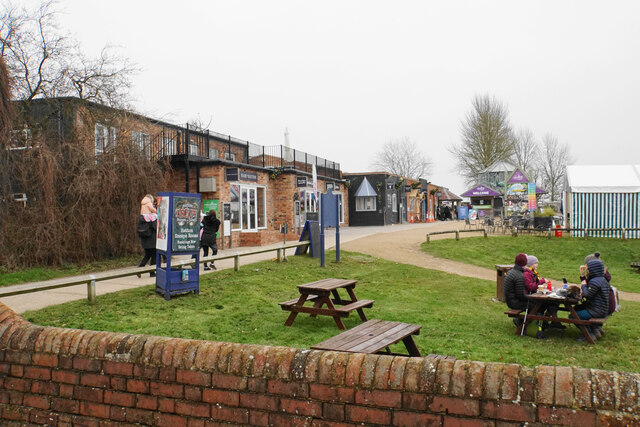
In addition to its natural beauty, Meadow Wood also offers a range of recreational activities. There is a designated picnic area where visitors can relax and enjoy a meal amidst the tranquil surroundings. The wood is also a popular spot for nature photography, with countless opportunities to capture stunning images of the wildlife and landscape.
Overall, Meadow Wood is a must-visit destination for nature enthusiasts and those seeking a peaceful retreat. Its natural beauty, diverse wildlife, and range of recreational activities make it a gem within Warwickshire's countryside.
If you have any feedback on the listing, please let us know in the comments section below.
Meadow Wood Images
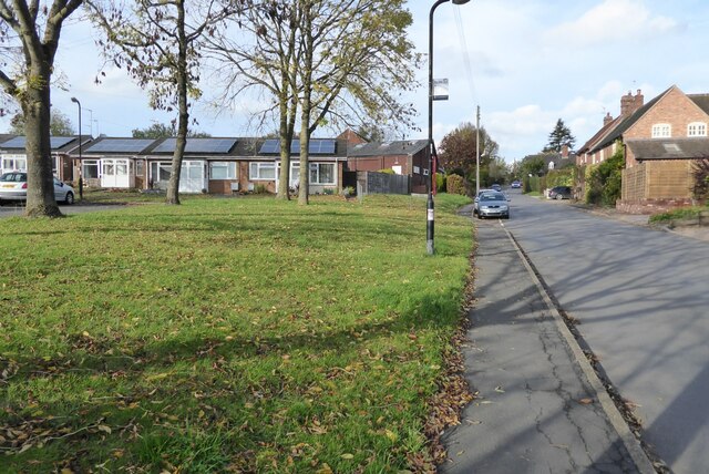
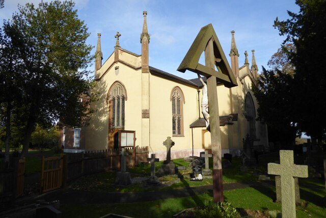
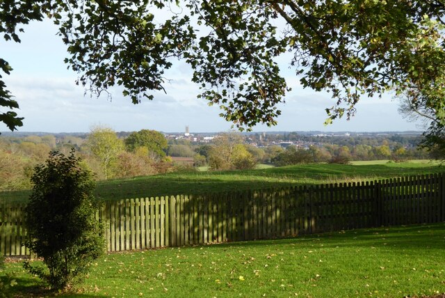
Images are sourced within 2km of 52.287003/-1.6472196 or Grid Reference SP2465. Thanks to Geograph Open Source API. All images are credited.

Meadow Wood is located at Grid Ref: SP2465 (Lat: 52.287003, Lng: -1.6472196)
Administrative County: Warwickshire
District: Warwick
Police Authority: Warwickshire
What 3 Words
///octagon.toys.hobble. Near Hatton, Warwickshire
Nearby Locations
Related Wikis

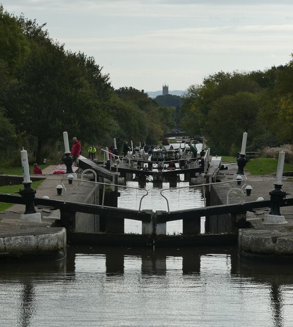
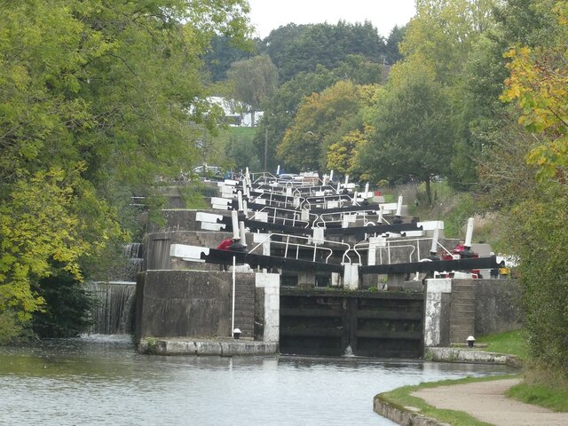
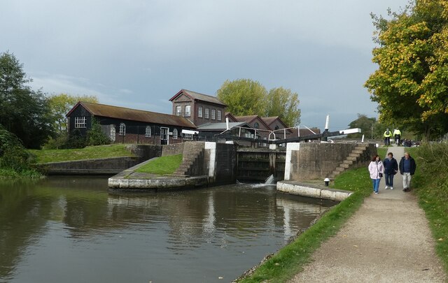
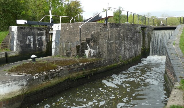
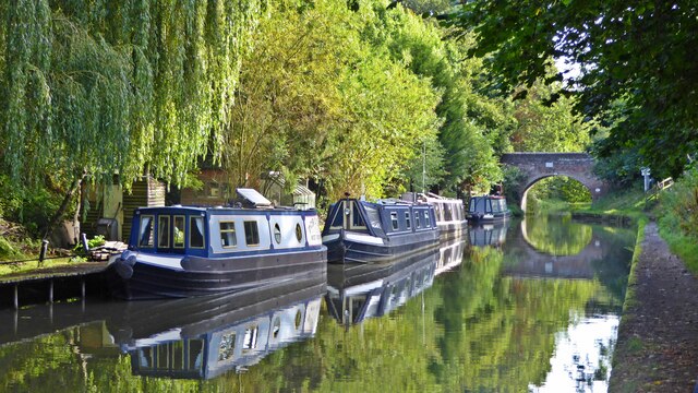
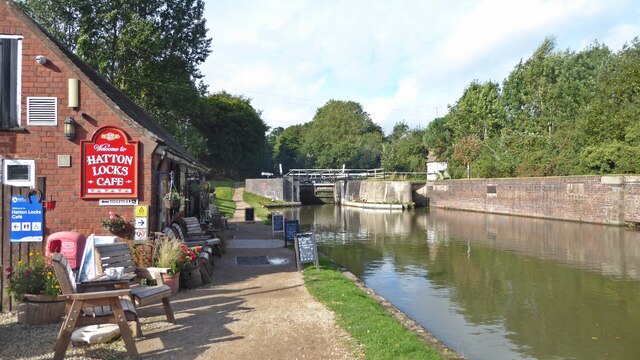
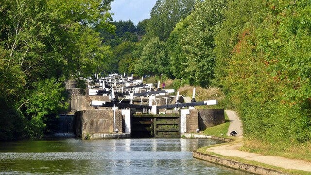
Hatton Locks
The Hatton Locks or Hatton Flight are a flight of 21 locks on the Grand Union Canal in Hatton, Warwickshire, England. The flight spans less than 2 miles...

Hatton, Warwickshire
Hatton is a village and civil parish about 4 miles (6 km) west-northwest of Warwick, in the Warwick District of Warwickshire in England. The parish had...
Budbrooke
Budbrooke is a village and civil parish in the Warwick district of Warwickshire, England. It is 3 miles west of Warwick and according to the 2001 census...

Central Hospital, Hatton
Central Hospital was a psychiatric hospital located in Hatton, Warwickshire, England. == History == Building began in 1846 on a 42-acre (17 ha) site purchased...
Nearby Amenities
Located within 500m of 52.287003,-1.6472196Have you been to Meadow Wood?
Leave your review of Meadow Wood below (or comments, questions and feedback).