Clifton Rough
Wood, Forest in Staffordshire Lichfield
England
Clifton Rough
Clifton Rough is a small village located in the county of Staffordshire, England. Situated within the rural area of the county, it is known for its picturesque woodlands and forested landscapes. The village is nestled amidst rolling hills and offers a serene and tranquil environment for residents and visitors alike.
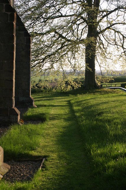
The woodlands of Clifton Rough are a prominent feature of the village, covering a vast area and providing a habitat for a diverse range of flora and fauna. The forest is home to various species of trees, including oak, beech, and birch, which add to the natural beauty of the surroundings. The woodlands also attract nature enthusiasts and hikers who enjoy exploring the numerous walking trails that crisscross the area.
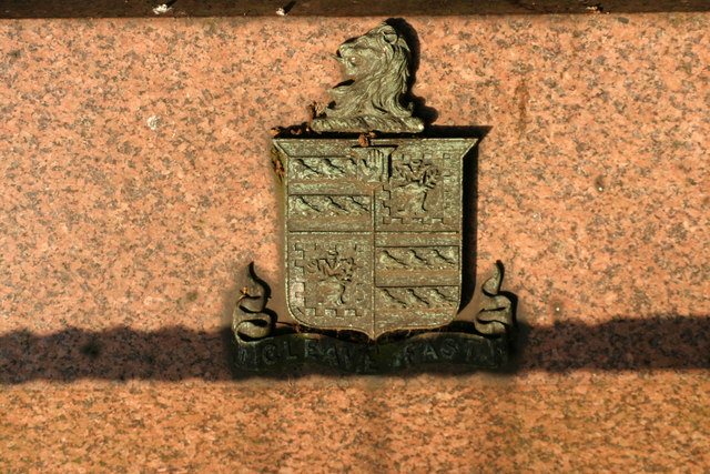
In addition to its natural attractions, Clifton Rough boasts a close-knit community that takes pride in its heritage and history. The village has a rich past, with evidence of human settlement dating back centuries. There are several historic sites and landmarks in the area, such as the Clifton Rough Manor, which adds to the village's charm and character.
While Clifton Rough is a predominantly rural area, it is well-connected to nearby towns and cities. The village has good transport links, with regular bus services and easy access to major road networks. This makes it convenient for residents to commute to work or access amenities and services in neighboring areas.
Overall, Clifton Rough offers a peaceful and idyllic setting, with its woodlands, forested landscapes, and strong sense of community. It is a place where nature and history intertwine, creating a truly unique and appealing destination.
If you have any feedback on the listing, please let us know in the comments section below.
Clifton Rough Images
Images are sourced within 2km of 52.669141/-1.6441523 or Grid Reference SK2407. Thanks to Geograph Open Source API. All images are credited.


Clifton Rough is located at Grid Ref: SK2407 (Lat: 52.669141, Lng: -1.6441523)
Administrative County: Staffordshire
District: Lichfield
Police Authority: Staffordshire
What 3 Words
///guard.chambers.cassettes. Near Tamworth, Staffordshire
Nearby Locations
Related Wikis
Statfold
Statfold is a former village and civil parish, now in the parish of Thorpe Constantine, in the Lichfield district, in Staffordshire, England. It is about...

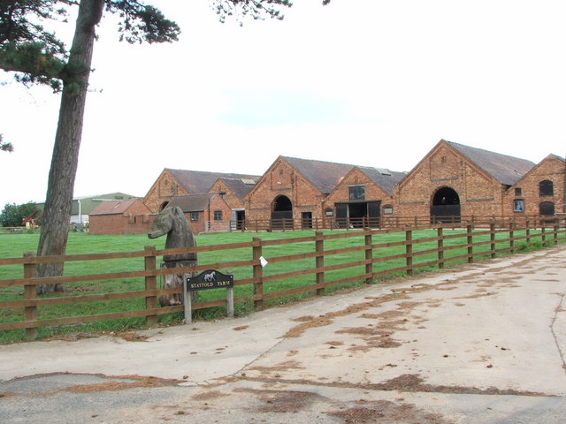
Statfold Barn Railway
The Statfold Barn Railway is a narrow gauge railway based near Tamworth, Staffordshire and partially in Warwickshire, England. Founded by engineering entrepreneur...

Thorpe Constantine
Thorpe Constantine is a small village and civil parish in Staffordshire, England. It lies about 6 miles (10 km) north-east of Tamworth and 6 miles south...

Seckington
Seckington is a village and civil parish in North Warwickshire, about 4 miles (6 km) northeast of Tamworth. The B4593 road between Tamworth and Appleby...
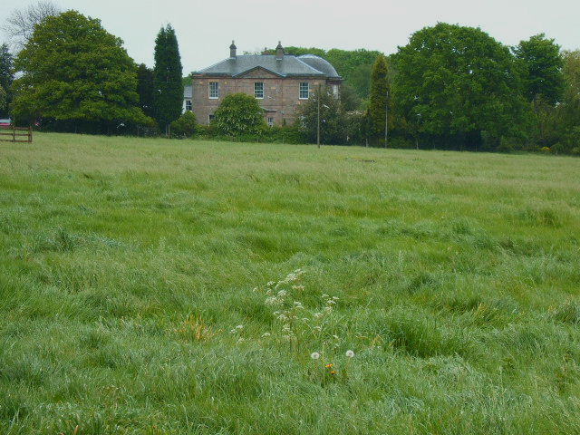
Amington Hall
Amington Hall is an early-19th-century former country house at Amington, near Tamworth, Staffordshire which has been converted into residential apartments...

Haunton
Haunton is a village in Staffordshire, England. It lies on the River Mease, about 7 miles (11 km) north of Tamworth, 1½ miles east of Harlaston and 1 mile...

Church of St Andrew, Clifton Campville
The Church of St Andrew is a Grade I listed church in the village of Clifton Campville, Staffordshire. It was built in the 13th and 14th centuries. The...

Alvecote Pools
Alvecote Pools is a Site of Special Scientific Interest (SSSI) and nature reserve situated alongside the River Anker, adjacent to the hamlet of Alvecote...
Nearby Amenities
Located within 500m of 52.669141,-1.6441523Have you been to Clifton Rough?
Leave your review of Clifton Rough below (or comments, questions and feedback).