Black Firs
Wood, Forest in Staffordshire Lichfield
England
Black Firs
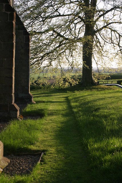
Black Firs is a small woodland area located in the county of Staffordshire, England. Nestled within the rolling countryside, it is a popular destination for nature enthusiasts and those seeking tranquility amidst the beauty of nature.
Covering an area of approximately 20 hectares, Black Firs is predominantly made up of deciduous trees such as oak, birch, and beech, which create a dense and vibrant forest. The woodland floor is adorned with a rich carpet of mosses, ferns, and wildflowers, adding to its enchanting appeal.
The forest is crisscrossed by a network of well-maintained footpaths and trails, allowing visitors to explore the area at their own pace. These paths are perfect for leisurely strolls or hikes, offering breathtaking views of the surrounding landscape and glimpses of local wildlife, including deer, foxes, and a myriad of bird species.
Black Firs also houses a diverse range of plant life, with a variety of fungi and lichens found amongst the trees, adding to the ecological significance of the area. The woodland is carefully managed to preserve its natural beauty and promote biodiversity.
Due to its convenient location, Black Firs attracts both locals and tourists alike. It provides a peaceful retreat from the hustle and bustle of urban life, offering visitors the opportunity to reconnect with nature and enjoy the serenity of the forest.
Overall, Black Firs in Staffordshire, England, is a picturesque woodland that offers an escape into nature's embrace, providing a haven for wildlife and a sanctuary for those seeking solace in the great outdoors.
If you have any feedback on the listing, please let us know in the comments section below.
Black Firs Images
Images are sourced within 2km of 52.662727/-1.6428293 or Grid Reference SK2407. Thanks to Geograph Open Source API. All images are credited.


Black Firs is located at Grid Ref: SK2407 (Lat: 52.662727, Lng: -1.6428293)
Administrative County: Staffordshire
District: Lichfield
Police Authority: Staffordshire
What 3 Words
///pounds.sadly.dizzy. Near Tamworth, Staffordshire
Nearby Locations
Related Wikis
Statfold
Statfold is a former village and civil parish, now in the parish of Thorpe Constantine, in the Lichfield district, in Staffordshire, England. It is about...

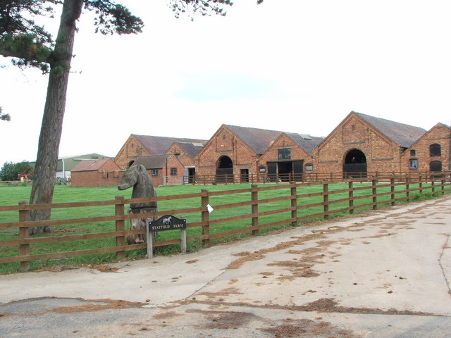
Statfold Barn Railway
The Statfold Barn Railway is a narrow gauge railway based near Tamworth, Staffordshire and partially in Warwickshire, England. Founded by engineering entrepreneur...

Seckington
Seckington is a village and civil parish in North Warwickshire, about 4 miles (6 km) northeast of Tamworth. The B4593 road between Tamworth and Appleby...
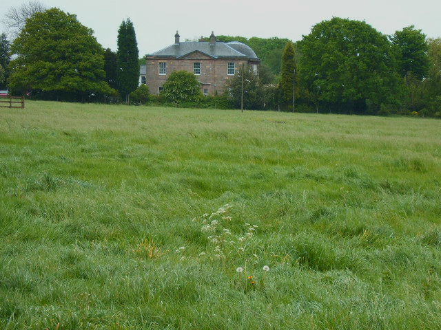
Amington Hall
Amington Hall is an early-19th-century former country house at Amington, near Tamworth, Staffordshire which has been converted into residential apartments...

Thorpe Constantine
Thorpe Constantine is a small village and civil parish in Staffordshire, England. It lies about 6 miles (10 km) north-east of Tamworth and 6 miles south...

Alvecote Pools
Alvecote Pools is a Site of Special Scientific Interest (SSSI) and nature reserve situated alongside the River Anker, adjacent to the hamlet of Alvecote...

Shuttington
Shuttington is a village and civil parish in North Warwickshire, England, situated north-east of Tamworth, Staffordshire. In the 2001 census, the parish...
Alvecote
Alvecote is a hamlet in the North Warwickshire district of Warwickshire, England, situated on the county border with Staffordshire. Other settlements nearby...
Nearby Amenities
Located within 500m of 52.662727,-1.6428293Have you been to Black Firs?
Leave your review of Black Firs below (or comments, questions and feedback).