Andrew Wood

Wood, Forest in Yorkshire

England

Andrew Wood

Approaching "Strines Inn"
Approaching "Strines Inn" Credit: Neil Theasby

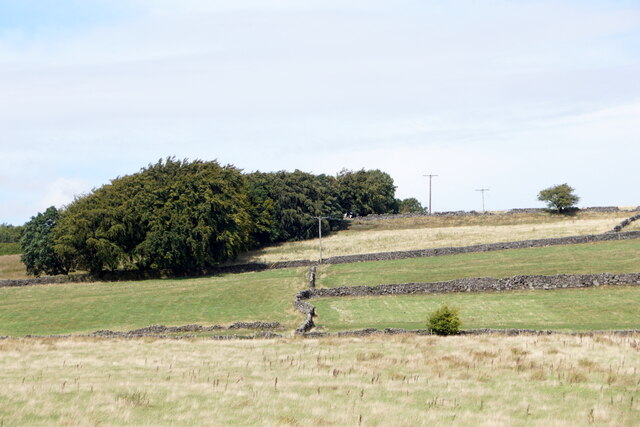
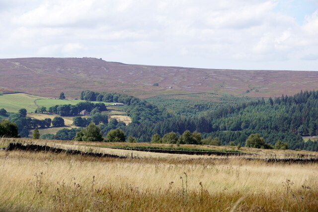
Andrew Wood is a picturesque forest located in the county of Yorkshire, England. Nestled within the Yorkshire Dales National Park, this woodland area is known for its natural beauty and diverse ecosystem. Spanning over a vast expanse of approximately 500 acres, Andrew Wood is home to a wide variety of plant and animal species.

The forest is predominantly composed of deciduous trees, such as oak, birch, and beech, which create a dense canopy overhead, providing shade and shelter for the flora and fauna below. The forest floor is covered in a lush carpet of mosses, ferns, and wildflowers, adding to the enchanting atmosphere of the woodland.

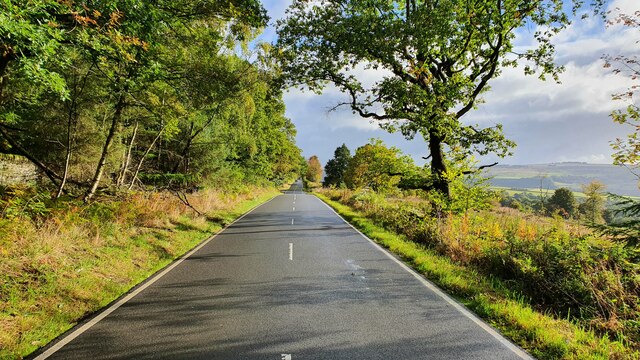
Andrew Wood offers visitors a tranquil escape from the hustle and bustle of everyday life. The forest is crisscrossed by well-maintained walking trails, allowing visitors to explore its beauty at their own pace. These trails lead to hidden clearings, babbling brooks, and secluded picnic spots, making it a popular destination for nature enthusiasts and families alike.

Wildlife thrives in Andrew Wood, with sightings of various bird species, including woodpeckers, owls, and thrushes, being common. Mammals like deer, foxes, and badgers also call this forest their home. During the spring and summer months, the forest comes alive with the sounds of chirping birds and buzzing insects, creating a symphony of nature.

Overall, Andrew Wood offers a serene and idyllic setting for those seeking a peaceful retreat in the heart of Yorkshire's captivating natural landscapes.

If you have any feedback on the listing, please let us know in the comments section below.
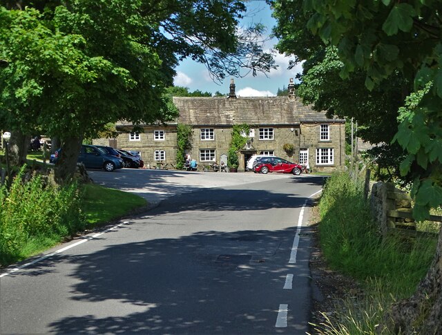
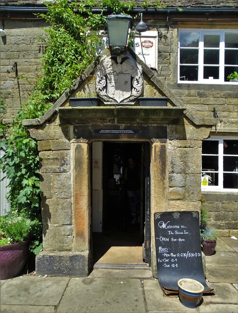
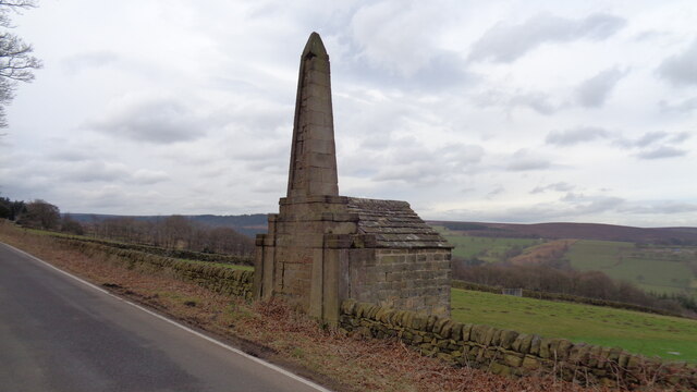
Andrew Wood Images

Images are sourced within 2km of 53.413434/-1.641405 or Grid Reference SK2390. Thanks to Geograph Open Source API. All images are credited.

Approaching "Strines Inn"
Entrance to "The Strines Inn" "The building that now houses The Strines Inn was originally a manor house built in 1275. Over the years it was extended and eventually converted into an inn in 1771." - copied from the pub's website.
Entrance to "The Strines Inn"
"The building that now houses The Strines Inn was originally a manor house built in 1275. Over the years it was extended and eventually converted into an inn in 1771." - copied from the pub's website.
Monument on Well On Hoar Stones Road near Eastfield Farm
Monument on Well
On Hoar Stones Road near Eastfield Farm
Fields near Ughill
Fields near Ughill
View north from West Shaw Lane, Ughill Moors
View to Dale Dike Reservoir from West Shaw Lane
Mortimer Road
Mortimer Road
Dale Dike Looking down from the Sheffield Country Walk.
Dale Dike
Looking down from the Sheffield Country Walk.
Cattle by Dale Dike Annet Bridge is taking Blindside Lane over Dale Dike.
Cattle by Dale Dike
Annet Bridge is taking Blindside Lane over Dale Dike.
Walker House Viewed from the other side of Bradfield Dale, with Dale Dike flowing in the trees at the bottom.
Walker House
Viewed from the other side of Bradfield Dale, with Dale Dike flowing in the trees at the bottom.
Blindside Lane The lane is descending into Bradfield Dale.
Blindside Lane
The lane is descending into Bradfield Dale.
Partially cleared forest It looks as though the conifers have been cleared, leaving the broad-leaved trees. This is the southern side of Bradfield Dale.
Partially cleared forest
It looks as though the conifers have been cleared, leaving the broad-leaved trees. This is the southern side of Bradfield Dale.
Footpath in Bradfield Dale Part of the Sheffield Country Walk passing through autumn woodland.
Footpath in Bradfield Dale
Part of the Sheffield Country Walk passing through autumn woodland.
Sheffield Country Walk Heading up Bradfield Dale with Dale Dike Reservoir below the trees to the right.
Sheffield Country Walk
Heading up Bradfield Dale with Dale Dike Reservoir below the trees to the right.
Footpath in Bradfield Dale The path climbs out of the dale on its southern side. It is not as well used as the path which goes round the dale.
Footpath in Bradfield Dale
The path climbs out of the dale on its southern side. It is not as well used as the path which goes round the dale.
Sheffield Country Walk Heading up the dale through land which used to be farmed.
Sheffield Country Walk
Heading up the dale through land which used to be farmed.
Andrew Wood A strip of woodland up the southern side of Bradfield Dale, but it is not very dense.
Andrew Wood
A strip of woodland up the southern side of Bradfield Dale, but it is not very dense.
Dale Dike Reservoir The water level is very low, leaving a lot of the upper reaches bone dry.
Dale Dike Reservoir
The water level is very low, leaving a lot of the upper reaches bone dry.
Show me another place!

Andrew Wood is located at Grid Ref: SK2390 (Lat: 53.413434, Lng: -1.641405)

Division: West Riding

Unitary Authority: Sheffield

Police Authority: South Yorkshire

What 3 Words

///actual.gifts.after. Near Bradfield, South Yorkshire

Related Wikis

Bradfield Dale

Bradfield Dale is a rural valley 12 kilometres (7.5 mi) west-northwest of the City of Sheffield in England. The valley stands within the north-eastern...
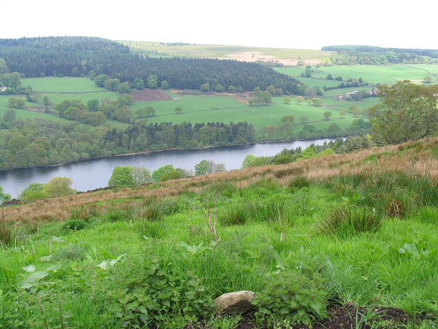
Dale Dike Reservoir

Dale Dike Reservoir or Dale Dyke Reservoir (grid reference SK240913) is a reservoir in the north-east Peak District, in the City of Sheffield, South Yorkshire...

Hallfield House

Hallfield House is a Grade II listed building situated in Bradfield Dale, 1.7 miles (2.74 km) west of the village of Low Bradfield, near Sheffield in England...

Strines Reservoir

Strines Reservoir is a water storage reservoir situated at 53.4099°N 1.6557°W / 53.4099; -1.6557 (Strines_Reservoir), 8 miles (13 km) west of the centre...

Nearby Amenities

Located within 500m of 53.413434,-1.641405
Barrier: stile
Material: wood
Source: survey;gps
Stile: ladder
Lat/Long: 53.4141759/-1.6379742
Barrier: stile
Material: stone
Source: survey;gps
Stile: stepover
Lat/Long: 53.4139614/-1.6432721
Holes Clough
Place: locality
Lat/Long: 53.4105155/-1.6448223
Hoyles Farm
Alt Name: Upper Holes
Place: farm
Lat/Long: 53.4108436/-1.642119
Wragg House
Historic Place: isolated_dwelling
Lat/Long: 53.4156008/-1.6396552
Loftshaw House
Historic Place: isolated_dwelling
Lat/Long: 53.411858/-1.6388358
Barrier: stile
Material: stone
Source: survey;gps
Stile: stepover
Lat/Long: 53.4141123/-1.6378573
Barrier: stile
Material: wood
Source: survey;gps
Stile: stepover
Lat/Long: 53.415328/-1.6398366
Barrier: stile
Material: wood
Source: survey;gps
Step Count: 3
Stile: stepover
Lat/Long: 53.4122699/-1.6463673
Barrier: stile
Check Date: 2024-03-31
Material: stone
Source: survey;gps
Stile: squeezer
Lat/Long: 53.4124808/-1.6451184
The data included in this document is from www.openstreetmap.org. The data is made available under ODbL.

Have you been to Andrew Wood?

Leave your review of Andrew Wood below (or comments, questions and feedback).