Assac Copse

Wood, Forest in Hampshire Test Valley

England

Assac Copse

Outdoor Seating Area, Cholderton Farm Shop and Cafe
Outdoor Seating Area, Cholderton Farm Shop and Cafe Credit: Paul Collins

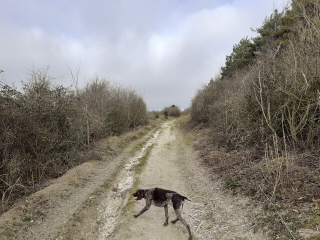
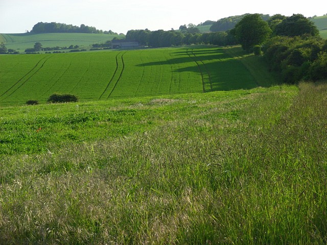
Assac Copse is a picturesque woodland located in Hampshire, England. Covering an area of approximately 50 acres, this charming copse is renowned for its natural beauty and tranquil atmosphere.

The copse is predominantly composed of broadleaf trees, including oak, beech, and ash, which provide a dense canopy that filters sunlight, creating a dappled effect on the forest floor. The undergrowth is rich with ferns, bluebells, and other native wildflowers, adding to the copse's aesthetic appeal.

Assac Copse is a haven for wildlife, with a diverse range of species calling it home. Birdwatchers will be delighted to spot various woodland birds, such as woodpeckers, owls, and warblers, while nature enthusiasts may catch a glimpse of small mammals like squirrels, rabbits, and foxes. The copse also boasts a healthy population of butterflies, which flutter around the wildflowers during the warmer months.

The copse is crisscrossed by a network of well-maintained footpaths, allowing visitors to explore its enchanting surroundings. These paths lead to hidden clearings, where visitors can sit and enjoy a picnic amidst the peacefulness of the woodland. Moreover, the copse is particularly popular among walkers and hikers who appreciate the serenity and natural splendor it offers.

Assac Copse is easily accessible, located just a short distance from the village of Hampshire. It provides a wonderful opportunity for nature lovers and those seeking a break from the hustle and bustle of daily life to immerse themselves in the tranquility of a quintessential English woodland.

If you have any feedback on the listing, please let us know in the comments section below.
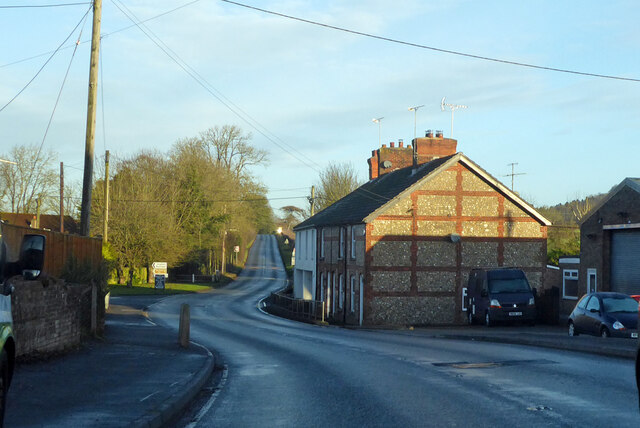
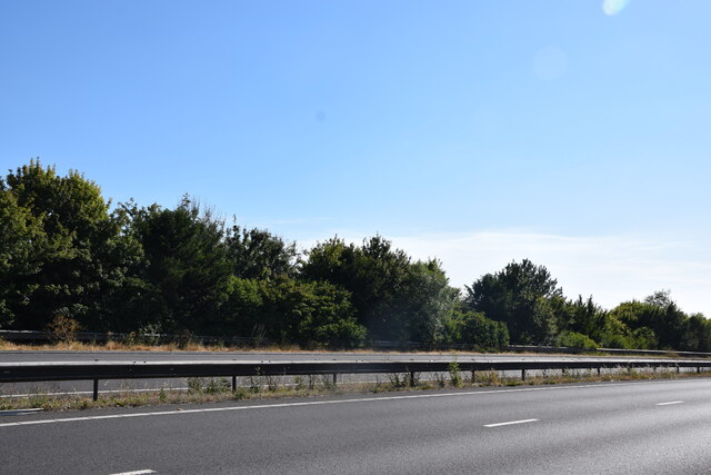
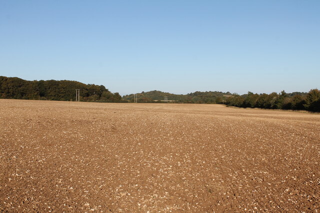
Assac Copse Images

Images are sourced within 2km of 51.200873/-1.6588217 or Grid Reference SU2344. Thanks to Geograph Open Source API. All images are credited.

Outdoor Seating Area, Cholderton Farm Shop and Cafe
Home Farm, Cholderton The farm boasts the popular Cholderton Farm Shop and Cafe. The shepherd's hut hasn't altered much in 10 years <a href="https://www.geograph.org.uk/photo/2834040">SU2342 : Drive, Home Farm</a>.
Home Farm, Cholderton
The farm boasts the popular Cholderton Farm Shop and Cafe. The shepherd's hut hasn't altered much in 10 years SU2342 : Drive, Home Farm.
A338 Salisbury Road Towards Tidworth.
A338 Salisbury Road
Towards Tidworth.
Cottages on A338, Shipton Bellinger Most of the village is off to the left.
Cottages on A338, Shipton Bellinger
Most of the village is off to the left.
A338 Salisbury Road at county border Crossing from Hampshire to Wiltshire.
A338 Salisbury Road at county border
Crossing from Hampshire to Wiltshire.
View towards Thruxton Farm Taken just to the south of the A303.
View towards Thruxton Farm
Taken just to the south of the A303.
A303 Looking across the A303 at the end of the cutting on Thruxton Hill.
A303
Looking across the A303 at the end of the cutting on Thruxton Hill.
Entrance to Old Coach Road from A338 Seen from A338 at Shipton Bellinger. This is a restricted byway. I am not sure if "Old Coach Road" is the name of the byway or if it is just a description of its origin. The white notice at left is the standard Salisbury Plain Military Lands Byelaws 1981.
Entrance to Old Coach Road from A338
Seen from A338 at Shipton Bellinger. This is a restricted byway. I am not sure if "Old Coach Road" is the name of the byway or if it is just a description of its origin. The white notice at left is the standard Salisbury Plain Military Lands Byelaws 1981.
Public Footpath running north from Old Coach Road The woodland on the right is Shipton Plantation. This footpath climbs steadily up the western side of this hill, which I guess is the southern end of Furze Hill.
Public Footpath running north from Old Coach Road
The woodland on the right is Shipton Plantation. This footpath climbs steadily up the western side of this hill, which I guess is the southern end of Furze Hill.
Public Footpath along western edge of Shipton Plantation Climbing quite steeply up the side slopes of what I guess is the southern part of Furze Hill.
Public Footpath along western edge of Shipton Plantation
Climbing quite steeply up the side slopes of what I guess is the southern part of Furze Hill.
Public Footpath and tank crossing on western edge of Shipton Plantation The tank track comes up from the valley at left after crossing the A338, and continues rightwards.
Public Footpath and tank crossing on western edge of Shipton Plantation
The tank track comes up from the valley at left after crossing the A338, and continues rightwards.
View across valley containing the A338 and the River Bourne Also showing a tank track.
View across valley containing the A338 and the River Bourne
Also showing a tank track.
Entering Ashdown Copse from the south on a public footpath There are numerous tracks in Ashdown Copse, few of which are public rights of way, but this one is. There doesn't appear to be any visible constraint upon using the other tracks.
Entering Ashdown Copse from the south on a public footpath
There are numerous tracks in Ashdown Copse, few of which are public rights of way, but this one is. There doesn't appear to be any visible constraint upon using the other tracks.
Big AA Box field, Cholderton Looking across Big AA Box field towards Thruxton Hill. The woodland at the end of the field marks the county boundary marked by a late Bronze Age linear ditch running along the field boundary. The field name derives from the AA box that used to stand in the lay-by of the old A303: the modern dual carriageway runs behind the hedge on the right.
Big AA Box field, Cholderton
Looking across Big AA Box field towards Thruxton Hill. The woodland at the end of the field marks the county boundary marked by a late Bronze Age linear ditch running along the field boundary. The field name derives from the AA box that used to stand in the lay-by of the old A303: the modern dual carriageway runs behind the hedge on the right.
Parkhouse Field, Cholderton Top Parkhouse field, recently ploughed looking across to Parkhouse Cross and beyond Snoddington Down on the horizon.
Parkhouse Field, Cholderton
Top Parkhouse field, recently ploughed looking across to Parkhouse Cross and beyond Snoddington Down on the horizon.
Parkhouse Field, Cholderton Looking across Top Parkhouse Field to Beacon Hill, with tractor and water trough.
Parkhouse Field, Cholderton
Looking across Top Parkhouse Field to Beacon Hill, with tractor and water trough.
A303 bridge over Thruxton Down Road A bridge carrying the A303 over Thruxton Down Road.
A303 bridge over Thruxton Down Road
A bridge carrying the A303 over Thruxton Down Road.
Road towards Thruxton
Show me another place!

Assac Copse is located at Grid Ref: SU2344 (Lat: 51.200873, Lng: -1.6588217)

Administrative County: Hampshire

District: Test Valley

Police Authority: Hampshire

What 3 Words

///presuming.wrenching.tones. Near Tidworth, Wiltshire

Nearby Locations

Assac Copse

Related Wikis

Snoddington

Snoddington is a small hamlet in Hampshire and close to the border of Wiltshire near to Thruxton Aerodrome and first mentioned in the eleventh century...

Battle of the Beanfield

The Battle of the Beanfield took place over several hours on 1 June 1985, when Wiltshire Police prevented The Peace Convoy, a convoy of several hundred...

Shipton Bellinger

Shipton Bellinger is a village and civil parish in Hampshire, England. Shipton Bellinger is about 5 miles (8 km) north-east of the town of Amesbury and...

A338 road

The A338 is a major primary route in southern England, that runs from the junction with the A35 at Poole in Dorset to the junction with the A420 at Besselsleigh...

Cholderton

Cholderton, or more properly West Cholderton, is a village and civil parish in the Bourne Valley of Wiltshire, England. The village is about 4 miles (6...

Tedworth House

Tedworth House, also known as South Tidworth House, is a 19th-century country house in Tidworth, Wiltshire, England. It is a Grade II* listed building...

St Mary's Church, South Tidworth

St Mary's Church in South Tidworth, Wiltshire, England, was built in 1878. It is recorded in the National Heritage List for England as a designated Grade...

Quarley Hill Fort

Quarley Hill Fort is a 3.5-hectare (8.6-acre) biological Site of Special Scientific Interest west of Grateley in Hampshire.Quarley hillfort is a hillfort...

Nearby Amenities

Located within 500m of 51.200873,-1.6588217
Power: tower
Source: yahoo
Lat/Long: 51.2047998/-1.6596007
Power: tower
Source: yahoo
Lat/Long: 51.2034661/-1.6634459
Operator: Esso
Lat/Long: 51.2002066/-1.6573048
Operator: Esso
Lat/Long: 51.2002923/-1.6573745
Power: pole
Lat/Long: 51.1983489/-1.6622864
Power: pole
Lat/Long: 51.1980477/-1.6633195
The data included in this document is from www.openstreetmap.org. The data is made available under ODbL.

Have you been to Assac Copse?

Leave your review of Assac Copse below (or comments, questions and feedback).