Clattyland Wood
Wood, Forest in Warwickshire Warwick
England
Clattyland Wood
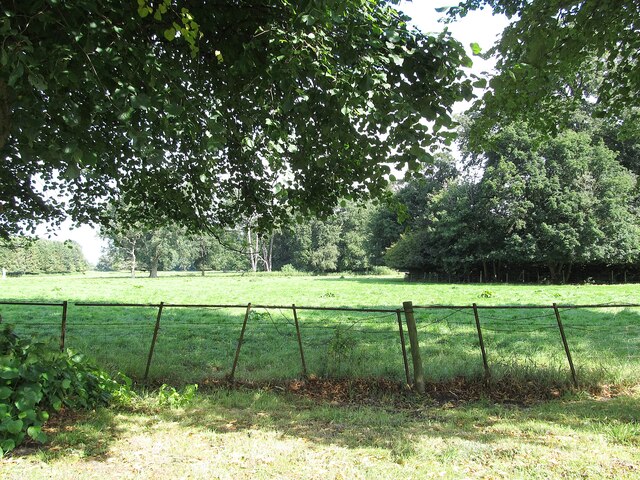
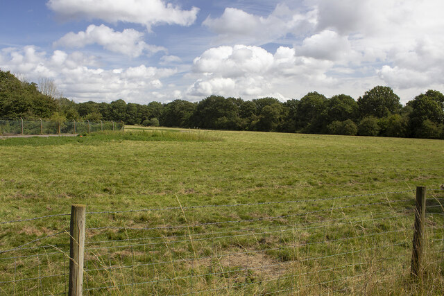
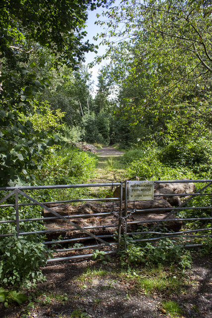
Clattyland Wood is a picturesque woodland located in the county of Warwickshire, England. Situated near the village of Clattyland, the wood spans an area of approximately 50 acres and is a popular destination for nature enthusiasts and hikers alike.
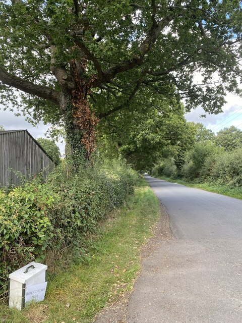
The wood boasts a diverse range of flora and fauna, making it a haven for wildlife. Visitors can expect to encounter a variety of tree species, including oak, birch, and beech, which provide a lush canopy and create a tranquil atmosphere. The forest floor is adorned with a carpet of bluebells during the spring, adding a burst of color to the landscape.
Several well-maintained walking trails traverse the wood, offering visitors the opportunity to explore its beauty at their own pace. These paths wind through the dense foliage, providing glimpses of the resident wildlife, such as squirrels, birds, and occasionally deer.
Clattyland Wood is also home to a small stream that meanders through its heart, adding to the enchanting ambiance. The sound of running water creates a soothing backdrop as visitors navigate the woodland trails.
The wood is easily accessible, with parking facilities available nearby. There are picnic areas and benches scattered throughout, allowing visitors to relax and soak in the natural surroundings. Additionally, the wood is equipped with informative signposts that educate visitors about the local flora and fauna, enhancing the educational aspect of the experience.
In summary, Clattyland Wood is a captivating woodland in Warwickshire, offering visitors a chance to immerse themselves in nature. With its diverse ecosystem and well-maintained trails, it is a must-visit destination for anyone seeking tranquility and natural beauty.
If you have any feedback on the listing, please let us know in the comments section below.
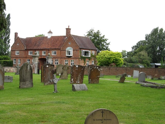
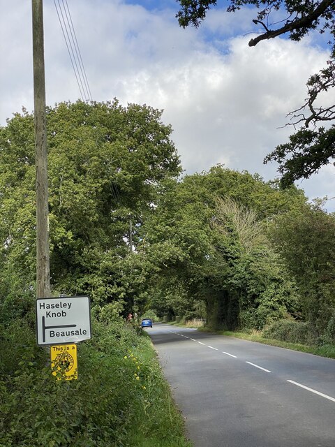
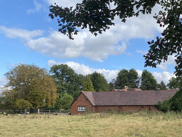
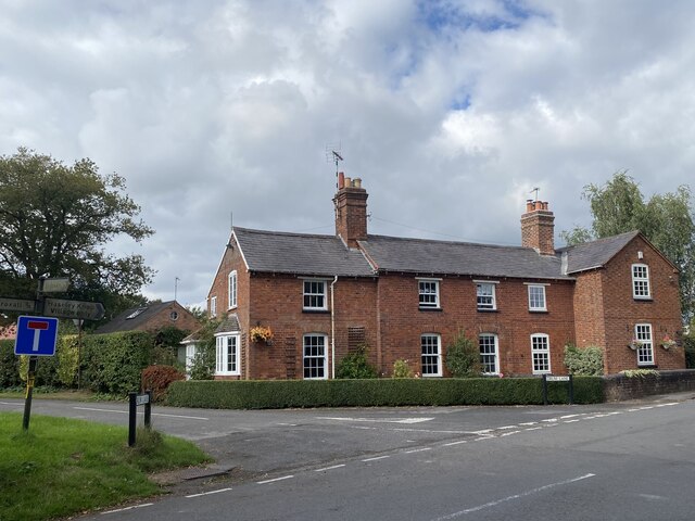
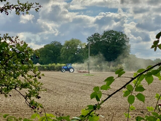
Clattyland Wood Images
Images are sourced within 2km of 52.342478/-1.6520335 or Grid Reference SP2371. Thanks to Geograph Open Source API. All images are credited.
Clattyland Wood is located at Grid Ref: SP2371 (Lat: 52.342478, Lng: -1.6520335)
Administrative County: Warwickshire
District: Warwick
Police Authority: Warwickshire
What 3 Words
///handrail.helpful.motivates. Near Wroxall, Warwickshire
Nearby Locations
Related Wikis

Honiley
Honiley is a small village and former civil parish, now in the parish of Beausale, Haseley, Honiley and Wroxall, in the Warwick district, in the county...
Beausale
Beausale is a hamlet and former civil parish, now in the parish of Beausale, Haseley, Honiley and Wroxall, in the Warwick district of Warwickshire, England...

Wroxall, Warwickshire
Wroxall is a small village and former civil parish, now in the parish of Beausale, Haseley, Honiley and Wroxall, in the Warwick district, in the county...

Banbury Music Radio
Banbury Music Radio was a local Internet radio station in Banbury, Oxfordshire, England that showcased bands from all around Oxfordshire, Berkshire, and...
Beausale, Haseley, Honiley and Wroxall
Beausale, Haseley, Honiley and Wroxall is a civil parish in the Warwick District of Warwickshire, England. It was created in 2007 by the merger of the...
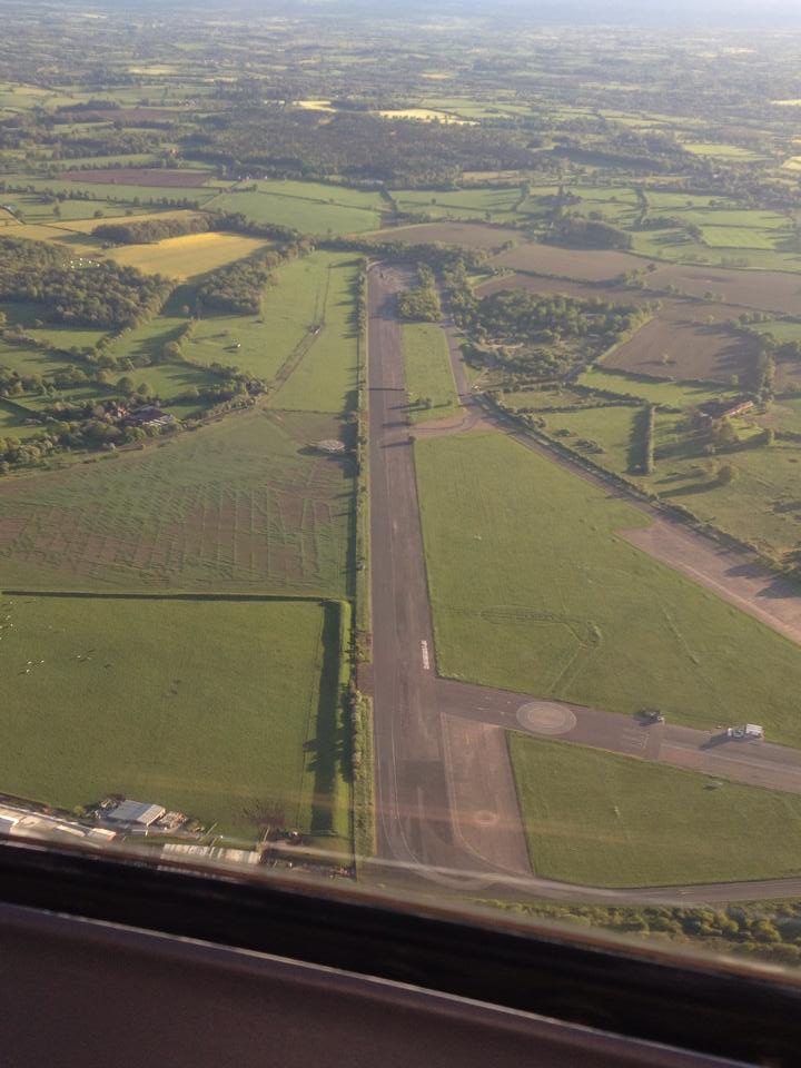
RAF Honiley
Royal Air Force Honiley or RAF Honiley is a former Royal Air Force station located in Wroxall, Warwickshire, 7 miles (11 km) southwest of Coventry, England...

Wren's Cathedral
Wren's Cathedral, properly the Church of St Leonard and now a cathedral of the Communion of Evangelical Episcopal Churches, was originally the Lady Chapel...
Wroxall Priory
Wroxall Priory was a medieval monastic house in Wroxall, Warwickshire, England. It was founded c.1135 by Hugh, Lord of Hatton and Wroxall in thanks for...
Nearby Amenities
Located within 500m of 52.342478,-1.6520335Have you been to Clattyland Wood?
Leave your review of Clattyland Wood below (or comments, questions and feedback).