No Man's Land

Wood, Forest in Hampshire Test Valley

England

No Man's Land

Sloping fields above the A30 near Lopcombe Corner
Sloping fields above the A30 near Lopcombe Corner Credit: David Martin

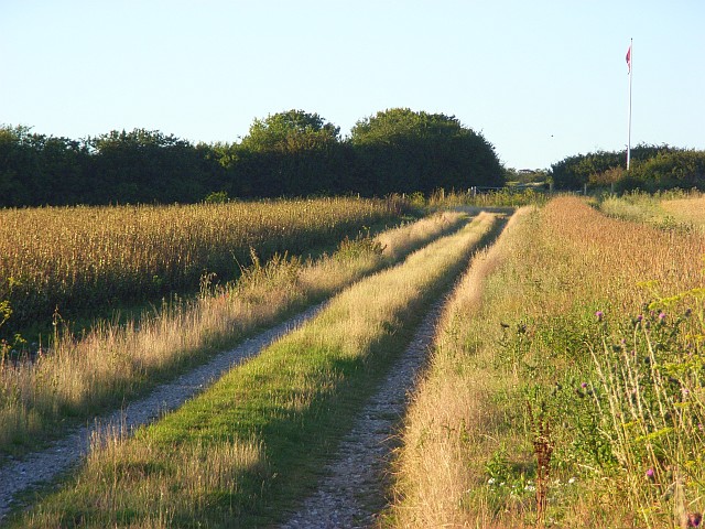
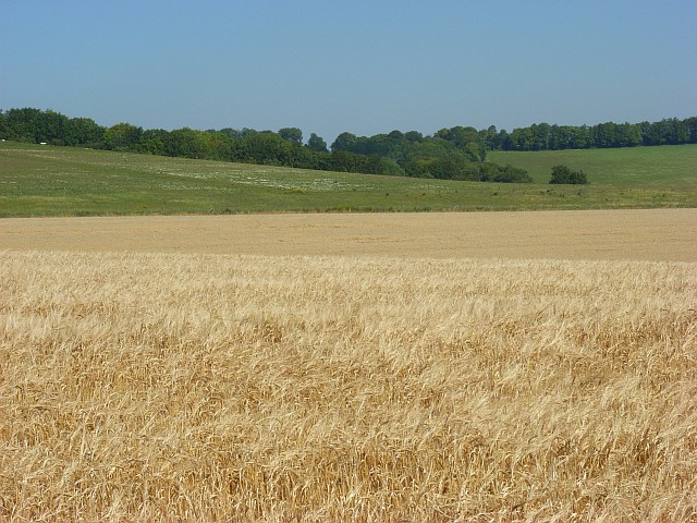
No Man's Land, Hampshire, is a charming wood located in the southern region of England. Nestled in the beautiful New Forest, this enchanting forested area spans approximately 200 hectares. It is characterized by its diverse ecosystem, comprising of a mix of ancient woodland, heathland, and grassland.

The wood is named No Man's Land due to its historical significance as a disputed area between two neighboring villages. Today, it serves as a popular destination for nature enthusiasts, hikers, and wildlife lovers. The wood offers a plethora of walking trails, enabling visitors to explore its natural beauty and discover its hidden treasures. The paths wind through towering trees, lush ferns, and colorful wildflowers, creating a picturesque and serene environment.

The wood is home to a wide variety of flora and fauna. Ancient oak and beech trees dominate the landscape, providing shelter for a diverse array of wildlife, including deer, rabbits, badgers, and a myriad of bird species. Nature lovers can enjoy birdwatching, as the wood provides a habitat for species such as woodpeckers, owls, and various songbirds.

No Man's Land also boasts several clearings and open spaces, perfect for picnics or simply enjoying a peaceful moment surrounded by nature. The wood's unique blend of habitats creates an ideal environment for a rich and diverse ecosystem, making it a sanctuary for biodiversity.

In conclusion, No Man's Land, Hampshire, is a captivating wood within the New Forest, offering visitors a chance to immerse themselves in nature. With its beautiful landscapes, abundant wildlife, and a rich history, it is a destination not to be missed for those seeking a tranquil and awe-inspiring experience.

If you have any feedback on the listing, please let us know in the comments section below.

No Man's Land Images

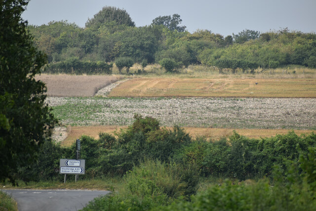
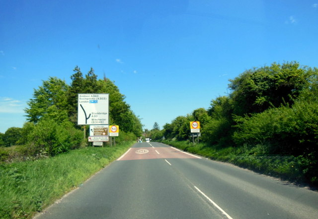
Images are sourced within 2km of 51.132667/-1.661225 or Grid Reference SU2337. Thanks to Geograph Open Source API. All images are credited.

Sloping fields above the A30 near Lopcombe Corner
The A30 at Lopcombe Corner
A30 towards Salisbury After Lopcombe Corner, the junction with the A343, the road is much busier.
A30 towards Salisbury
After Lopcombe Corner, the junction with the A343, the road is much busier.
Old Milestone by the A30, Winterslow parish Carved stone post by the A30, in parish of WINTERSLOW (SALISBURY District), Winterslow, just East of turn to Roche Court and the Winterslows, on verge, on South side of road. Sarum triangle, erected by the Sarum & Eling turnpike trust in the 19th century. 

Inscription reads:-
: To / SARUM / 7 / MILES : : To / (L)O(N)DON / 75 / (MIL)ES : 
Rivet on top, benchmark not visible.

Grade II listed.  
List Entry Number: 1130773 <span class="nowrap"><a title="https://historicengland.org.uk/listing/the-list/list-entry/1130773" rel="nofollow ugc noopener" href="https://historicengland.org.uk/listing/the-list/list-entry/1130773">Link</a><img style="margin-left:2px;" alt="External link" title="External link - shift click to open in new window" src="https://s1.geograph.org.uk/img/external.png" width="10" height="10"/></span>

Milestone Society National ID: WI_SAAV07.
Old Milestone by the A30, Winterslow parish
Carved stone post by the A30, in parish of WINTERSLOW (SALISBURY District), Winterslow, just East of turn to Roche Court and the Winterslows, on verge, on South side of road. Sarum triangle, erected by the Sarum & Eling turnpike trust in the 19th century. Inscription reads:- : To / SARUM / 7 / MILES : : To / (L)O(N)DON / 75 / (MIL)ES : Rivet on top, benchmark not visible. Grade II listed. List Entry Number: 1130773 LinkExternal link Milestone Society National ID: WI_SAAV07.
Minor road from the Winterslows joins A30 The land on the far side of the A30, where the poppies are, is part of an army firing range.
Minor road from the Winterslows joins A30
The land on the far side of the A30, where the poppies are, is part of an army firing range.
Track on Easton Down Still marked on maps as a public byway though there is now no public access due to the byelaws that have closed Porton Down. There is some farmland within the MOD land. The track crosses between arable fields before reaching the flagpole that signifies the start of the danger zone.
Track on Easton Down
Still marked on maps as a public byway though there is now no public access due to the byelaws that have closed Porton Down. There is some farmland within the MOD land. The track crosses between arable fields before reaching the flagpole that signifies the start of the danger zone.
Farmland  and downland near Lopcombe Corner Looking onto the MOD's Porton Down estate the fringe of which is farmed.
Farmland and downland near Lopcombe Corner
Looking onto the MOD's Porton Down estate the fringe of which is farmed.
Farmland, Lopcombe Corner Looking down from beside the road to Roche Court as it descends to the A30. Beyond that is the MOD's Porton Down estate, the fringe of which is farmed.
Farmland, Lopcombe Corner
Looking down from beside the road to Roche Court as it descends to the A30. Beyond that is the MOD's Porton Down estate, the fringe of which is farmed.
Isle of Wight Hill This hill lies in an MoD danger area. The photo was taken from a bridleway at the edge of the danger area.
Isle of Wight Hill
This hill lies in an MoD danger area. The photo was taken from a bridleway at the edge of the danger area.
Show me another place!

No Man's Land is located at Grid Ref: SU2337 (Lat: 51.132667, Lng: -1.661225)

Administrative County: Hampshire

District: Test Valley

Police Authority: Hampshire

What 3 Words

///bravo.stunt.curl. Near Allington, Wiltshire

Nearby Locations

No Man's Land

Related Wikis

Porton Down SSSI

Porton Down SSSI is a 1,559-hectare (3,850-acre) biological Site of Special Scientific Interest which spans the border between Hampshire and Wiltshire...
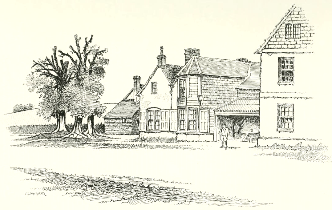
Winterslow Hut

Winterslow Hut was a late 17th-century coaching inn on the London to Exeter stagecoach route at Winterslow, Wiltshire, England. Its isolated location on...
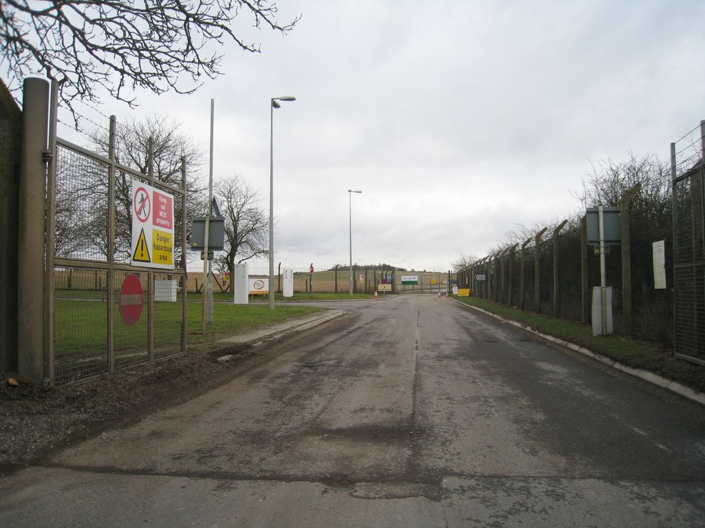
Porton Down

Porton Down is a science and defence technology campus in Wiltshire, England, just north-east of the village of Porton, near Salisbury. It is home to two...

Ashleys Copse

Ashley's Copse is the site of an Iron Age hillfort, about 8 miles (13 km) northeast of the city of Salisbury, England, straddling the border between the...

Have you been to No Man's Land?

Leave your review of No Man's Land below (or comments, questions and feedback).