Nutseats Wood

Wood, Forest in Derbyshire Derbyshire Dales

England

Nutseats Wood

Broadmeadow Shaft Adjacent to the cottages here, which were once the offices of the Alport Mining Company, can be seen a large mound which marks the site of the Broadmeadow Shaft on the Alport mines. This company was an amalgamation of various separate mining concerns and operated the very rich lead mines of this area. They were classed as the most heavily watered mines in the country and suffered from inflows of more than 6000 gallons a minute. Consequently, heavy pumping was necessary, chiefly by water pressure engines which used a column of water to power them. The well known Cornish engineer, Richard Trevithick was consulted and he was responsible for the first of many such underground machines within this region. Water to power the engine in this shaft was taken from the River Lathkill and over Alport village in wooden launders and then by a tunnel to the shaft. All the pumped water, along with that used by the engines (of which there were upwards of seven scattered throughout the workings) was drained away by the deep Hillcarr Sough, a tunnel driven from the River Derwent near Darley Dale.
Broadmeadow Shaft Credit: Richard Bird

Nutseats Wood is a picturesque forest located in Derbyshire, England. Covering an area of approximately 50 acres, it is a popular destination for nature lovers and outdoor enthusiasts. The wood is nestled in the heart of the Peak District National Park, offering visitors stunning views and a peaceful escape from the hustle and bustle of city life.

The wood is predominantly made up of deciduous trees such as oak, birch, and beech, which create a vibrant canopy of green during the summer months. In autumn, the forest transforms into a breathtaking display of colors, with the leaves turning shades of gold, red, and orange.

There are several well-maintained trails that wind their way through the wood, providing ample opportunities for hiking, walking, and exploring. These trails cater to all levels of fitness and offer a chance to spot various species of wildlife, including deer, foxes, and a wide variety of birdlife.

Nutseats Wood is also home to a rich diversity of plant life, with bluebells carpeting the forest floor in spring and wildflowers adding pops of color throughout the year. This makes it a popular spot for nature photographers and botany enthusiasts.

Visitors can enjoy a peaceful picnic in one of the designated areas, or simply sit back and soak in the tranquility of the surroundings. Nutseats Wood truly offers a serene and idyllic retreat, allowing visitors to connect with nature and recharge their spirits.

If you have any feedback on the listing, please let us know in the comments section below.

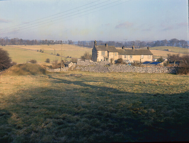
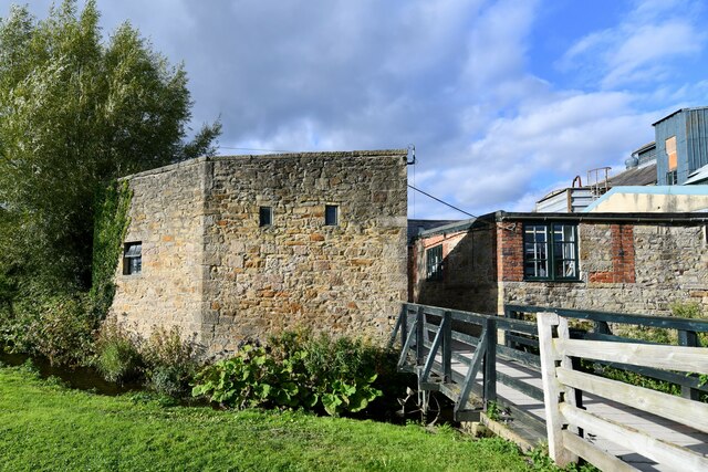
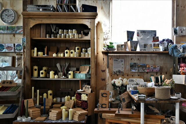
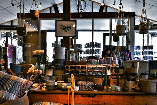
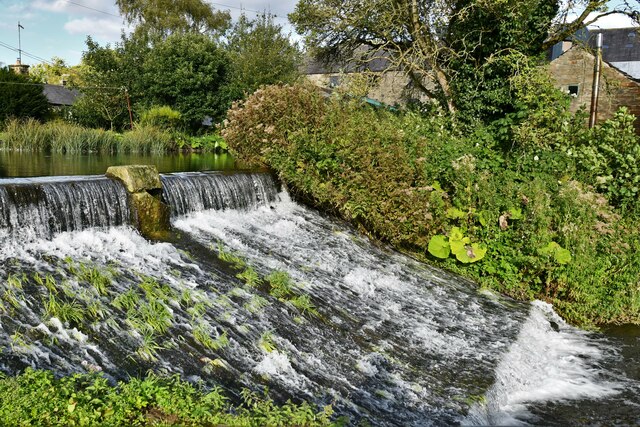
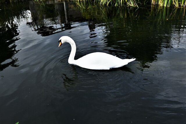
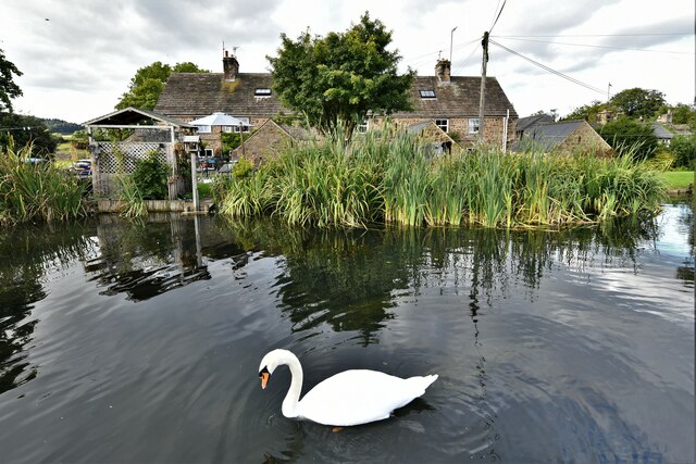
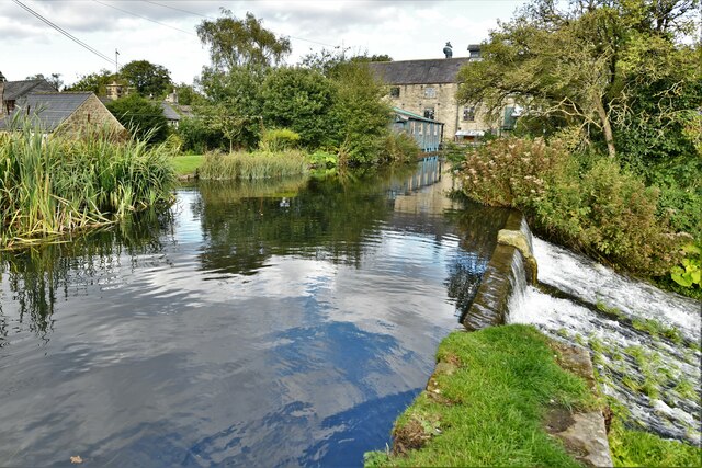
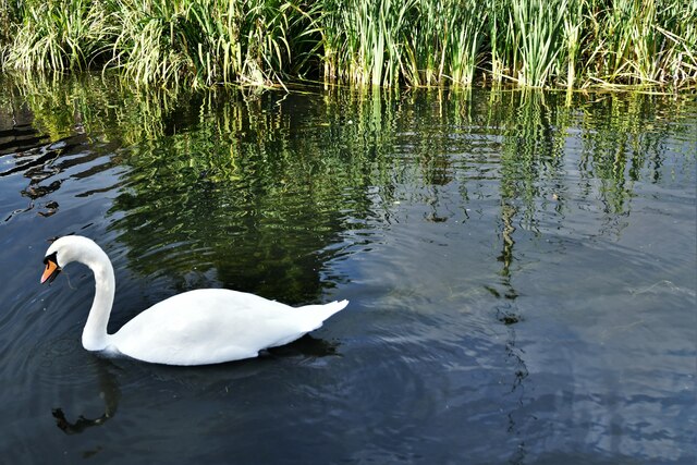
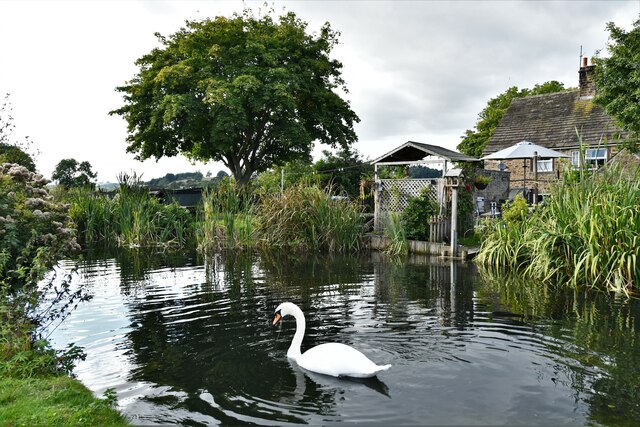
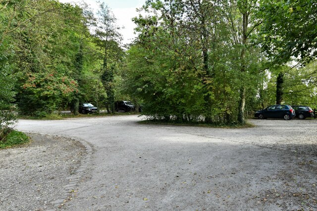
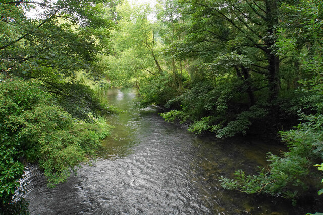
Nutseats Wood Images

Images are sourced within 2km of 53.188862/-1.6452255 or Grid Reference SK2365. Thanks to Geograph Open Source API. All images are credited.

Broadmeadow Shaft Adjacent to the cottages here, which were once the offices of the Alport Mining Company, can be seen a large mound which marks the site of the Broadmeadow Shaft on the Alport mines. This company was an amalgamation of various separate mining concerns and operated the very rich lead mines of this area. They were classed as the most heavily watered mines in the country and suffered from inflows of more than 6000 gallons a minute. Consequently, heavy pumping was necessary, chiefly by water pressure engines which used a column of water to power them. The well known Cornish engineer, Richard Trevithick was consulted and he was responsible for the first of many such underground machines within this region. Water to power the engine in this shaft was taken from the River Lathkill and over Alport village in wooden launders and then by a tunnel to the shaft. All the pumped water, along with that used by the engines (of which there were upwards of seven scattered throughout the workings) was drained away by the deep Hillcarr Sough, a tunnel driven from the River Derwent near Darley Dale.
Broadmeadow Shaft
Adjacent to the cottages here, which were once the offices of the Alport Mining Company, can be seen a large mound which marks the site of the Broadmeadow Shaft on the Alport mines. This company was an amalgamation of various separate mining concerns and operated the very rich lead mines of this area. They were classed as the most heavily watered mines in the country and suffered from inflows of more than 6000 gallons a minute. Consequently, heavy pumping was necessary, chiefly by water pressure engines which used a column of water to power them. The well known Cornish engineer, Richard Trevithick was consulted and he was responsible for the first of many such underground machines within this region. Water to power the engine in this shaft was taken from the River Lathkill and over Alport village in wooden launders and then by a tunnel to the shaft. All the pumped water, along with that used by the engines (of which there were upwards of seven scattered throughout the workings) was drained away by the deep Hillcarr Sough, a tunnel driven from the River Derwent near Darley Dale.
Rowsley, Caudwell's Mill: Entrance
Rowsley, Caudwell's Mill: Shop interior 1
Rowsley, Caudwell's Mill: Shop interior 2
Rowsley, Caudwell's Mill: Shop interior 3
Rowsley, Caudwell's Mill: Shop interior 4, products of the mill
Rowsley, Caudwell's Mill: The mill stream
Rowsley, Caudwell's Mill: Entrance to the mill itself
Rowsley, Caudwell's Mill: Outflow from the mill stream
Rowsley, Caudwell's Mill: Swan on the mill head race
Rowsley, Caudwell's Mill: Swan on the mill head race and a three cottage terrace
Rowsley, Caudwell's Mill: The mill head race
Rowsley, Caudwell's Mill: Swan on the mill head race
Rowsley, Caudwell's Mill: Swan on the mill head race and a three cottage terrace
Rowsley, Caudwell's Mill: Large visitors car park
The River Wye near Rowsley Looking downstream from Woodhouse Road, not far from where the river meets the Derwent.
The River Wye near Rowsley
Looking downstream from Woodhouse Road, not far from where the river meets the Derwent.
Cottages in Stanton in Peak A long thin village climbing the hillside. A shower is passing a couple of miles to the north.
Cottages in Stanton in Peak
A long thin village climbing the hillside. A shower is passing a couple of miles to the north.
Show me another place!

Nutseats Wood is located at Grid Ref: SK2365 (Lat: 53.188862, Lng: -1.6452255)

Administrative County: Derbyshire

District: Derbyshire Dales

Police Authority: Derbyshire

What 3 Words

///wings.golden.madness. Near Youlgreave, Derbyshire

Related Wikis

River Lathkill

The River Lathkill is a river in the Peak District National Park in Derbyshire, England. First recorded in 1280, the name "Lathkill" possibly has Scandinavian...

Nether Haddon

Nether Haddon is a sparsely populated village and civil parish in Derbyshire, England. It is immediately downstream along the River Wye from the small...

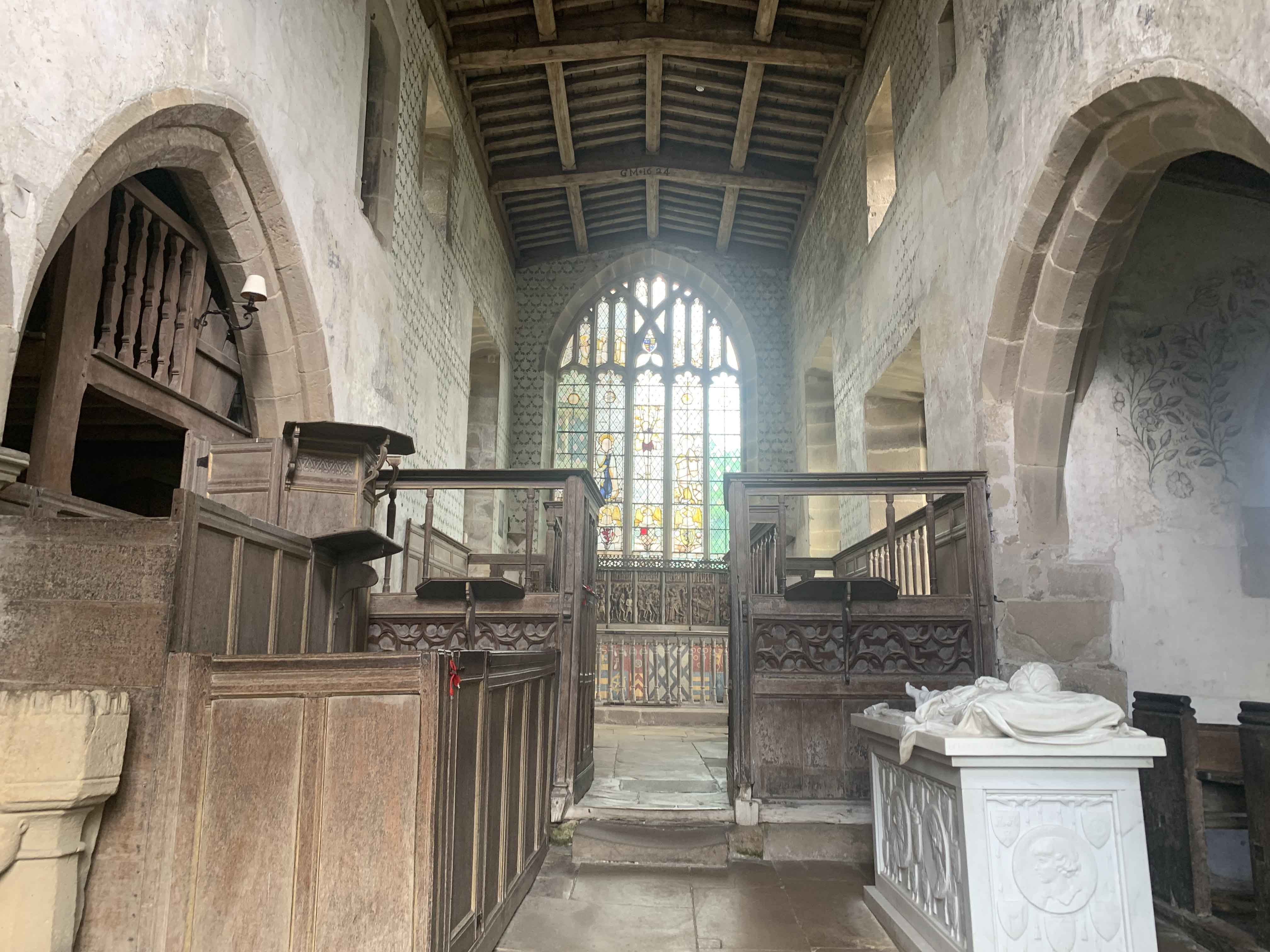
Chapel of St Nicholas, Haddon Hall

The Chapel St John Nicholas, Haddon Hall is a Grade I listed Church of England chapel in Haddon Hall, Derbyshire. The chapel's origins are Norman, with...
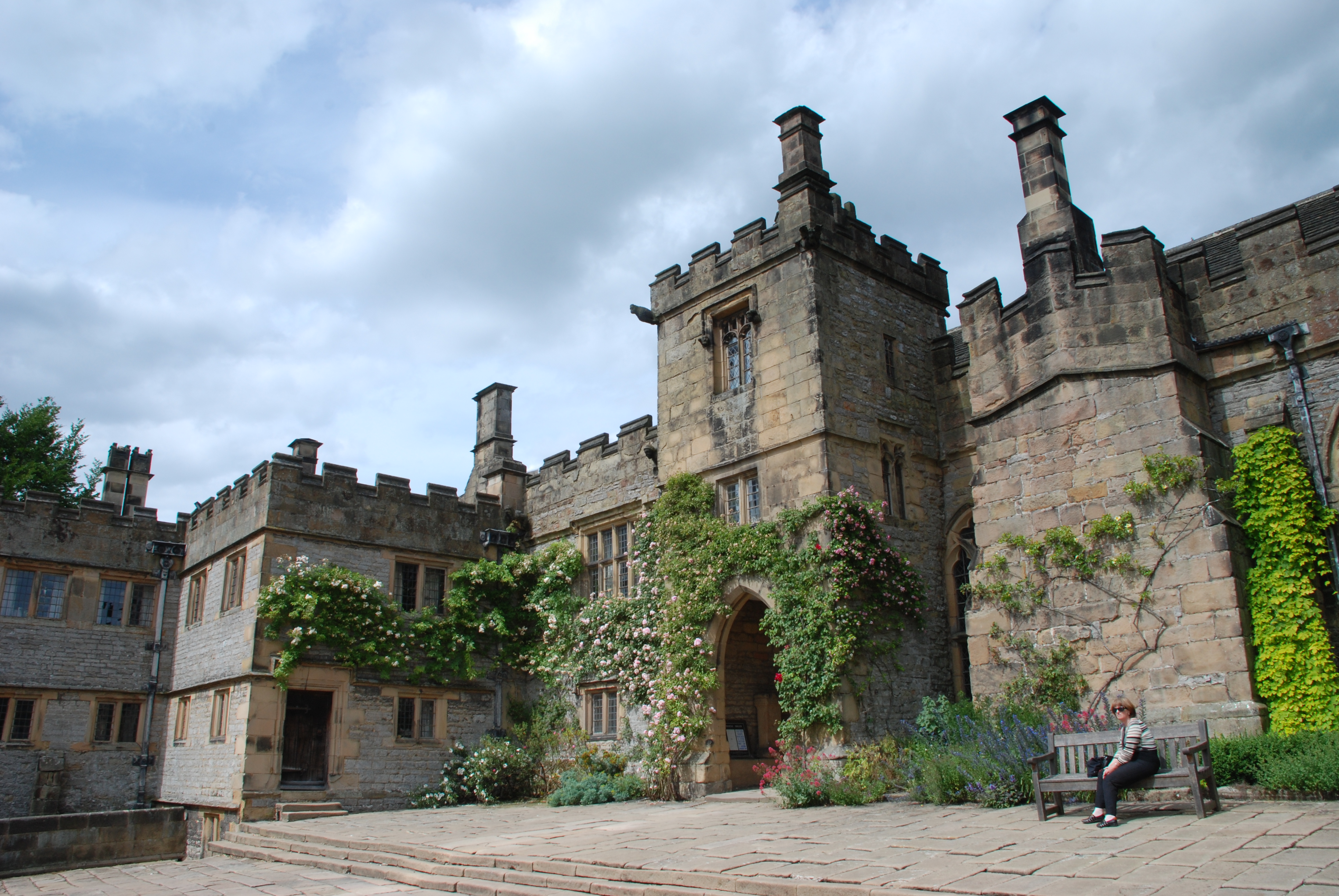
Haddon Hall

Haddon Hall is an English country house on the River Wye near Bakewell, Derbyshire, a former seat of the Dukes of Rutland. It is the home of Lord Edward...
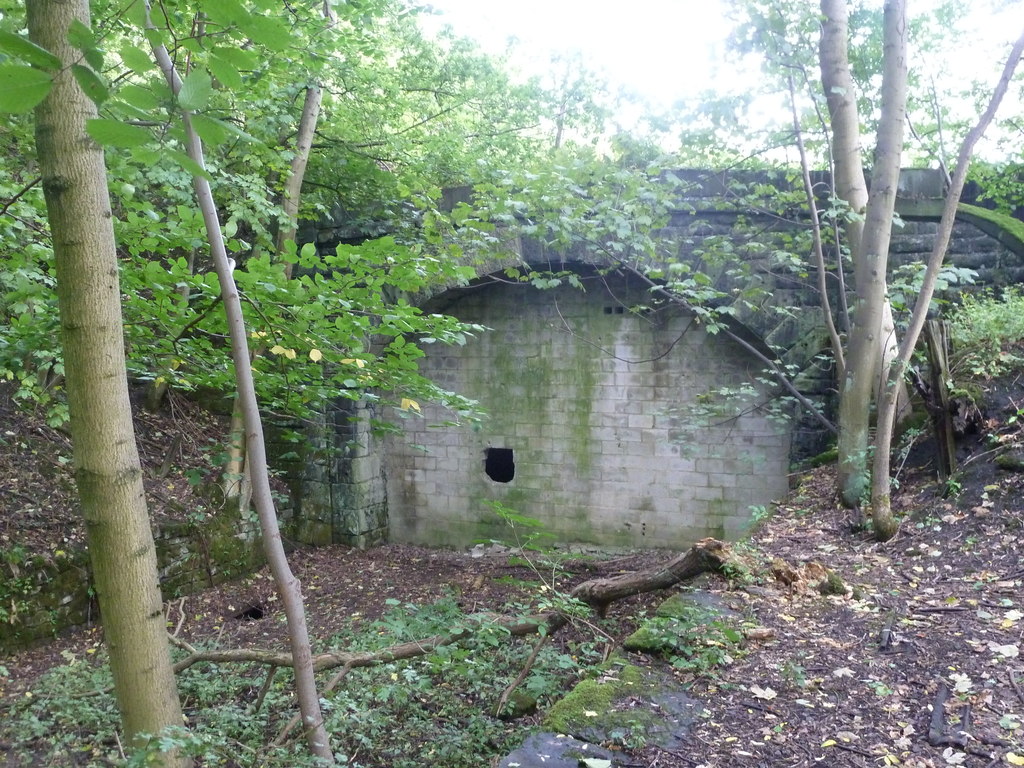
Haddon Tunnel

Haddon Tunnel was built by the Midland Railway in 1863 when extending the Manchester, Buxton, Matlock and Midlands Junction Railway from Rowsley to Buxton...

Harthill Hall

Harthill Hall was formerly the Manor House of a great 13th century Estate, and the hall is now a Grade II listed building within the civil parish of Harthill...

Stanton in Peak

Stanton in Peak (also written as Stanton-in-Peak) is a village in the Derbyshire Dales district of Derbyshire, It is about seven miles north-west of Matlock...

Holy Trinity Church, Stanton-in-Peak

Holy Trinity Church, Stanton-in-Peak is a Grade II listed parish church in the Church of England in Stanton in Peak, Derbyshire. == History == The church...

Nearby Amenities

Located within 500m of 53.188862,-1.6452255
Bus Stop
Picory Corner
Bench: no
Bin: no
Lit: no
Naptan AtcoCode: 1000DHHA3122
Naptan NaptanCode: dbsgadjg
Public Transport: platform
Shelter: no
Tactile Paving: no
Lat/Long: 53.1890302/-1.6442075
Bus Stop
Picory Corner
Bench: no
Bin: no
Lit: no
Public Transport: platform
Shelter: no
Tactile Paving: no
Lat/Long: 53.1891274/-1.6423541
Source: NLS-OS-1st_Series
Lat/Long: 53.1924465/-1.6435735
The data included in this document is from www.openstreetmap.org. The data is made available under ODbL.

Have you been to Nutseats Wood?

Leave your review of Nutseats Wood below (or comments, questions and feedback).