Black Bridge Wood
Wood, Forest in Northumberland
England
Black Bridge Wood
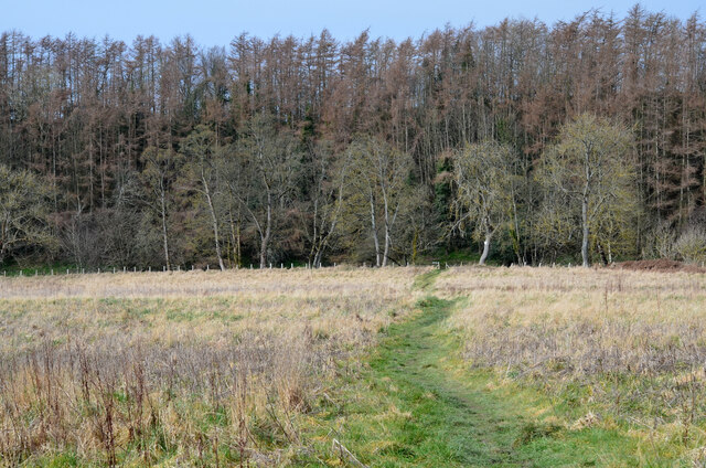
Black Bridge Wood is a picturesque woodland located in Northumberland, England. Spanning over an area of approximately 100 hectares, it is renowned for its natural beauty and diverse ecosystem. The wood is primarily composed of deciduous trees, including oak, beech, and birch, which create a stunning canopy during the summer months.
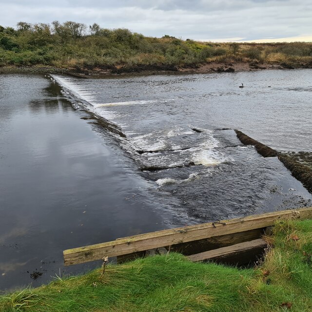
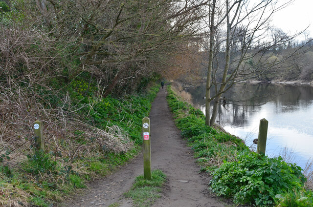
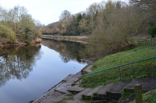
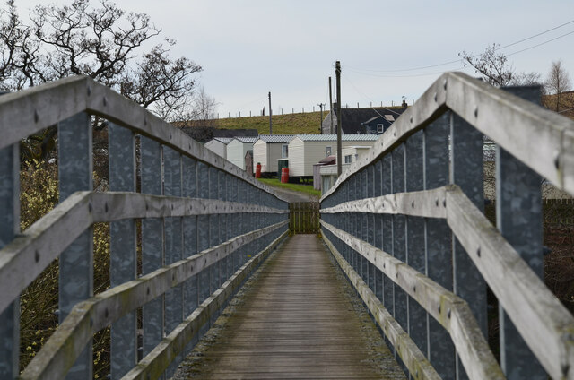
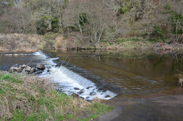
The wood is intersected by the River Coquet, with a notable black iron bridge that gives the woodland its name. This iconic bridge dates back to the 19th century and adds to the charm and character of the area. The river itself provides a tranquil setting, with its gentle flow and soothing sounds creating a peaceful ambiance.
Black Bridge Wood is a haven for wildlife enthusiasts, as it is home to a wide variety of flora and fauna. The wood boasts an array of bird species, including woodpeckers, owls, and kingfishers, making it a popular spot for birdwatching. Additionally, the wood is inhabited by mammals such as deer, foxes, and squirrels, which can often be spotted among the trees.
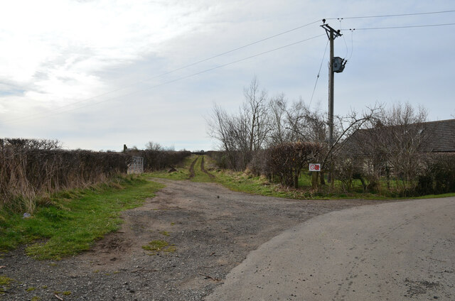
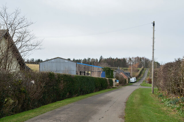
The wood offers several walking trails, allowing visitors to explore its natural wonders at their own pace. The paths meander through the woodland, offering glimpses of wildflowers, moss-covered rocks, and ancient trees. Whether visitors are seeking a peaceful retreat or an opportunity to reconnect with nature, Black Bridge Wood provides an idyllic setting to escape the hustle and bustle of everyday life.
If you have any feedback on the listing, please let us know in the comments section below.
Black Bridge Wood Images
Images are sourced within 2km of 55.338493/-1.6275805 or Grid Reference NU2305. Thanks to Geograph Open Source API. All images are credited.


Black Bridge Wood is located at Grid Ref: NU2305 (Lat: 55.338493, Lng: -1.6275805)
Unitary Authority: Northumberland
Police Authority: Northumbria
What 3 Words
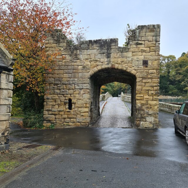
///dives.outgoing.shuttle. Near Warkworth, Northumberland
Nearby Locations
Related Wikis
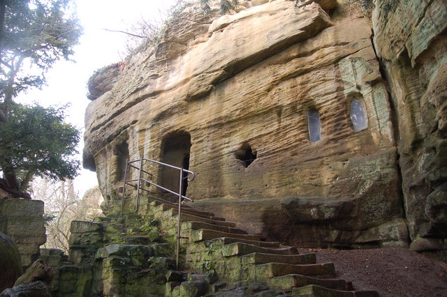
Warkworth Hermitage
Warkworth Hermitage is a chapel and priest's house built onto and within a cliff-face on the north bank of the River Coquet in Northumberland, England...

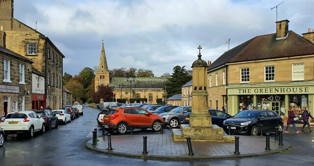
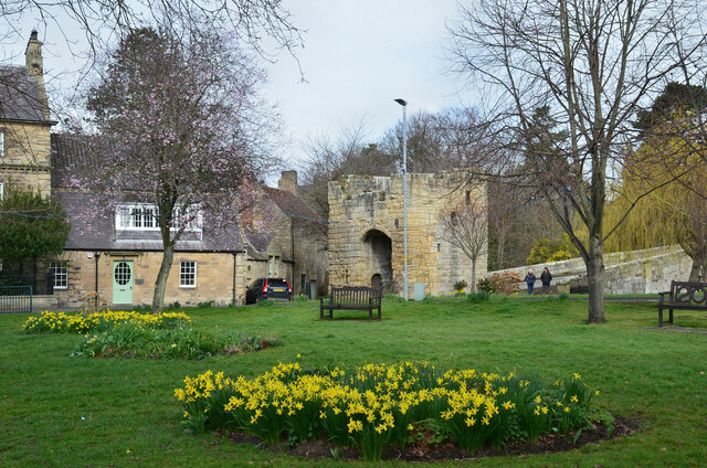
Warkworth, Northumberland
Warkworth is a village in Northumberland, England. It is probably best known for its well-preserved medieval castle, church and hermitage. The population...

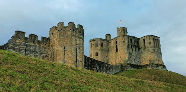
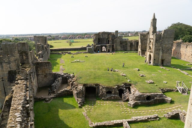
Warkworth Castle
Warkworth Castle is a ruined medieval castle in Warkworth in the English county of Northumberland. The village and castle occupy a loop of the River Coquet...
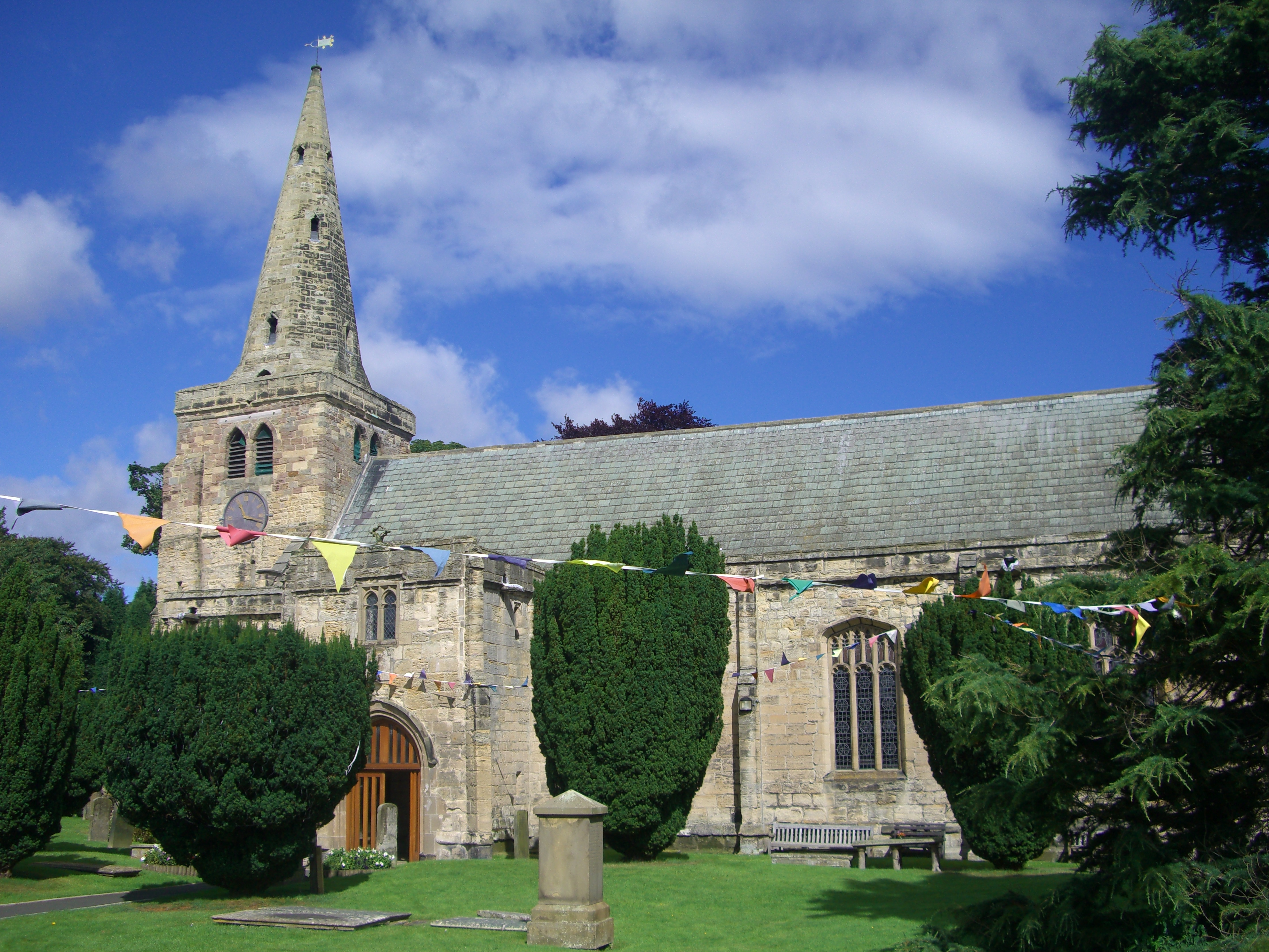
Church of St Lawrence, Warkworth
The Church of St Lawrence is situated in the village of Warkworth in Northumberland. It is a grade I listed building within the Diocese of Newcastle and...
Nearby Amenities
Located within 500m of 55.338493,-1.6275805Have you been to Black Bridge Wood?
Leave your review of Black Bridge Wood below (or comments, questions and feedback).