The Spinney
Wood, Forest in Warwickshire Tamworth
England
The Spinney
The Spinney in Warwickshire is a picturesque woodland located in the heart of the county. Covering an area of approximately 100 acres, it is a haven for nature enthusiasts and walkers alike. The woodland is predominantly made up of native British trees, including oak, ash, and beech, which create a dense and diverse forest canopy.
The Spinney is known for its tranquil atmosphere and peaceful surroundings. The forest floor is blanketed with a rich carpet of wildflowers, providing a vibrant display of colors during the spring and summer months. The woodland is also home to a variety of wildlife, including deer, badgers, and a wide range of bird species. Birdwatchers can spot common woodland birds such as robins, blackbirds, and blue tits, as well as rarer species such as the great spotted woodpecker and the tawny owl.
The woodland is crisscrossed with a network of walking trails, allowing visitors to explore its beauty at their own pace. The paths are well-maintained and clearly signposted, making it easy for visitors to navigate their way through the forest. Along the trails, there are several benches and picnic areas, providing the perfect opportunity to take a break and enjoy the peaceful surroundings.
The Spinney is a popular destination for families, nature lovers, and photographers, who are drawn to its natural beauty and tranquility. With its diverse range of flora and fauna, it offers a unique and immersive woodland experience for all who visit.
If you have any feedback on the listing, please let us know in the comments section below.
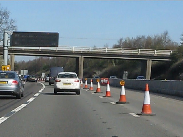
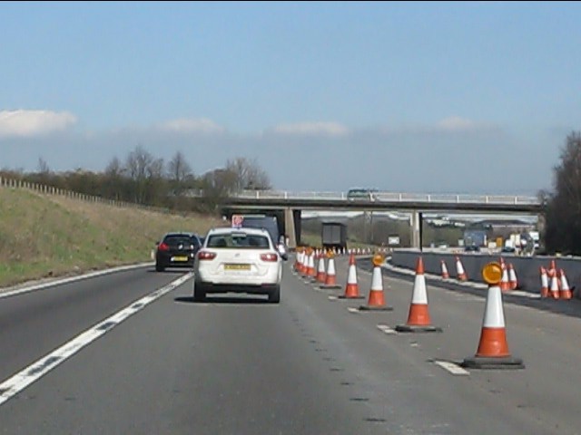
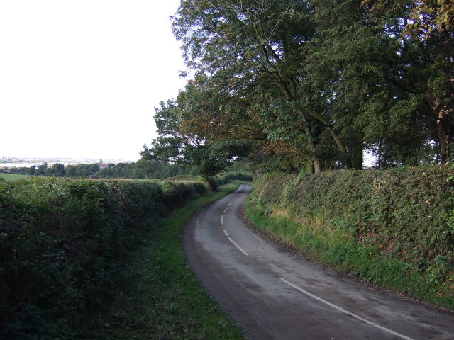
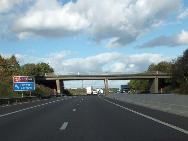
The Spinney Images
Images are sourced within 2km of 52.606243/-1.6512035 or Grid Reference SK2300. Thanks to Geograph Open Source API. All images are credited.


The Spinney is located at Grid Ref: SK2300 (Lat: 52.606243, Lng: -1.6512035)
Administrative County: Staffordshire
District: Tamworth
Police Authority: Staffordshire
What 3 Words
///holly.charm.uses. Near Polesworth, Warwickshire
Nearby Locations
Related Wikis

Tamworth services
Tamworth services is a motorway service station on the M42 motorway near Tamworth Staffordshire, England. The border between Staffordshire and Warwickshire...

The Wilnecote School
The Wilnecote School (formerly Wilnecote High School) is a co-educational secondary school located in Wilnecote (near Tamworth) in the English county of...
Stonydelph
Stonydelph is a neighbourhood about 2 miles (3 km) south east of the centre of Tamworth, Staffordshire. A spelling of "Stoneydelph" is sometimes used but...
Freasley
Freasley is a small village in Warwickshire, England. It has a church and a Grade II listed Hall. == References == == External links == Media related...
Wilnecote
Wilnecote (pronounced Wilncutt) is a suburban area about two miles (3.2 km) south-east of Tamworth, in the Tamworth district, in the county of Staffordshire...
Birchmoor
Birchmoor is a former coal mining village in the North Warwickshire district of Warwickshire, England. It lies about one mile southwest of Polesworth...
Tamworth Enterprise College
Tamworth Enterprise College (formerly Belgrave High School) is a coeducational secondary school with academy status in Tamworth, Staffordshire, England...
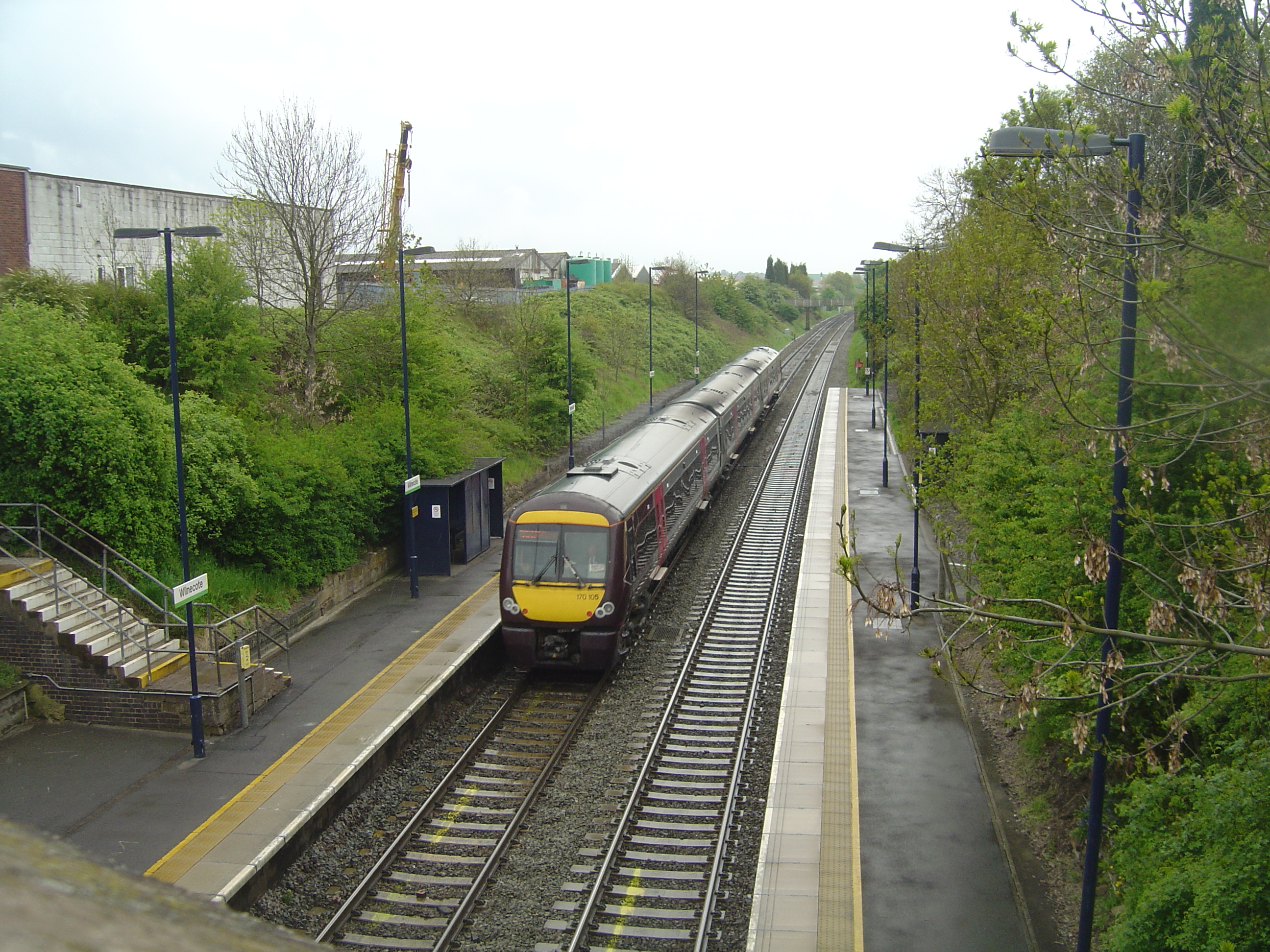
Wilnecote railway station
Wilnecote railway station is a small unmanned station serving Wilnecote 1.5 miles (2 km) south of Tamworth town centre in Staffordshire, England. The station...
Nearby Amenities
Located within 500m of 52.606243,-1.6512035Have you been to The Spinney?
Leave your review of The Spinney below (or comments, questions and feedback).