Quarry Hill
Settlement in Warwickshire Tamworth
England
Quarry Hill
Quarry Hill is a small village located in the county of Warwickshire, England. Situated approximately 6 miles south of the town of Warwick, the village is nestled amidst the picturesque countryside and offers a tranquil and idyllic setting.
The village is home to a close-knit community, with a population of around 500 residents. The architecture of Quarry Hill reflects its rich history, with a mix of traditional stone cottages, farmhouses, and more modern housing developments.
Nature enthusiasts will be delighted by the surrounding landscape, as Quarry Hill lies on the edge of the beautiful Cotswolds Area of Outstanding Natural Beauty. The village is encompassed by rolling hills, lush green fields, and meandering country lanes, providing ample opportunities for walking, cycling, and exploring the great outdoors.
Despite its rural location, Quarry Hill benefits from good transport links. The nearby M40 motorway provides easy access to major cities such as Birmingham and London, while the nearby Warwick Parkway railway station offers regular services to various destinations across the country.
Quarry Hill boasts a range of amenities to cater to its residents' needs. These include a local pub, a village hall that hosts community events, a primary school, and a convenience store. For further facilities, the historic town of Warwick is just a short drive away, offering a wider selection of shops, restaurants, and leisure activities.
Overall, Quarry Hill provides a charming and peaceful setting, making it an attractive place to live for those seeking a balance between rural living and access to nearby urban conveniences.
If you have any feedback on the listing, please let us know in the comments section below.
Quarry Hill Images
Images are sourced within 2km of 52.597311/-1.6618745 or Grid Reference SK2300. Thanks to Geograph Open Source API. All images are credited.


Quarry Hill is located at Grid Ref: SK2300 (Lat: 52.597311, Lng: -1.6618745)
Administrative County: Staffordshire
District: Tamworth
Police Authority: Staffordshire
What 3 Words
///just.thing.estate. Near Fazeley, Staffordshire
Nearby Locations
Related Wikis

The Wilnecote School
The Wilnecote School (formerly Wilnecote High School) is a co-educational secondary school located in Wilnecote (near Tamworth) in the English county of...
Freasley
Freasley is a small village in Warwickshire, England. It has a church and a Grade II listed Hall. == References == == External links == Media related...
Wilnecote
Wilnecote (pronounced Wilncutt) is a suburban area about two miles (3.2 km) south-east of Tamworth, in the Tamworth district, in the county of Staffordshire...
Tamworth Rural District
Tamworth was a rural district in the English Midlands from 1894 to 1965. It was created under the Local Government Act 1894 from Tamworth rural sanitary...
Dosthill
Dosthill is an area of Tamworth, Staffordshire, 2.5 miles south of the town centre, and close to the River Tame. The area is mostly residential, centering...
St Paul's Church, Dosthill
St Paul's Church, Dosthill is a Grade II listed parish church in the Church of England in Dosthill, Staffordshire, England. == History == The foundation...
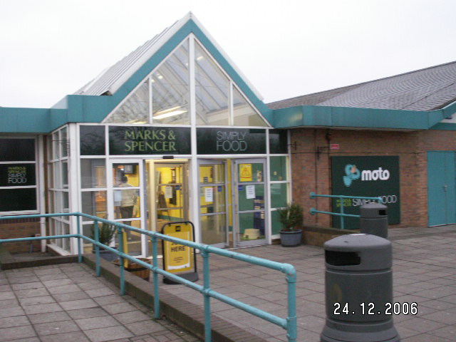
Tamworth services
Tamworth services is a motorway service station on the M42 motorway near Tamworth Staffordshire, England. The border between Staffordshire and Warwickshire...
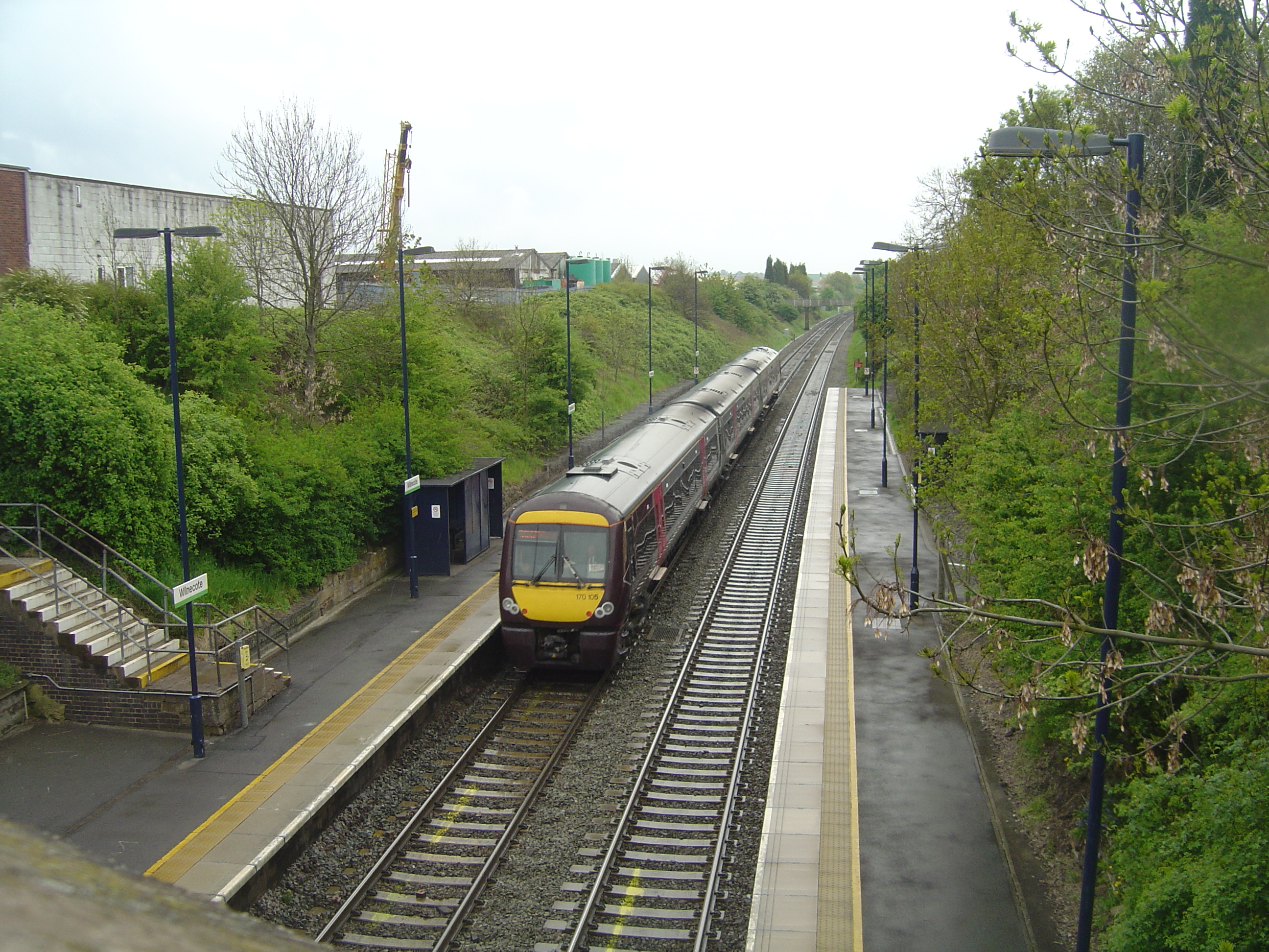
Wilnecote railway station
Wilnecote railway station is a small unmanned station serving Wilnecote 1.5 miles (2 km) south of Tamworth town centre in Staffordshire, England. The station...
Nearby Amenities
Located within 500m of 52.597311,-1.6618745Have you been to Quarry Hill?
Leave your review of Quarry Hill below (or comments, questions and feedback).