Arncroach

Settlement in Fife

Scotland

Arncroach

Kellie Castle near Pittenweem Kellie castle dates from the 14th century and has a victorian garden.The castle is reputedly haunted.It was the home of Sir Robert Lorimer,the architect of the Scottish National War Memorial and Hew Lorimer,the sculptor.
 .
Kellie Castle near Pittenweem Credit: Ian Murfitt

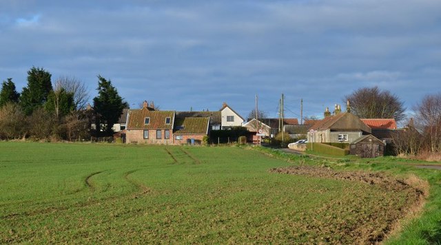
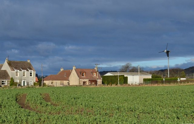
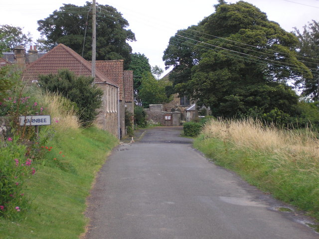
Arncroach is a small village located in the East Neuk region of Fife, Scotland. Situated approximately 8 miles southwest of St Andrews, the village is nestled amidst picturesque countryside and offers a tranquil setting for its residents and visitors. With a population of around 200 people, Arncroach retains its charming rural character and provides a sense of community.

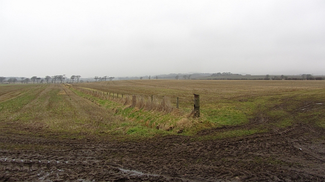
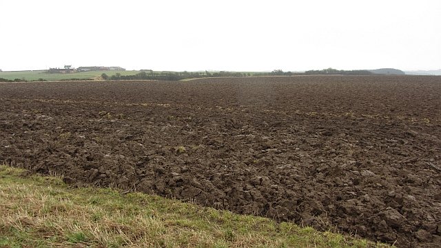
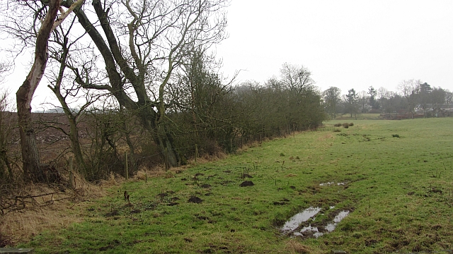
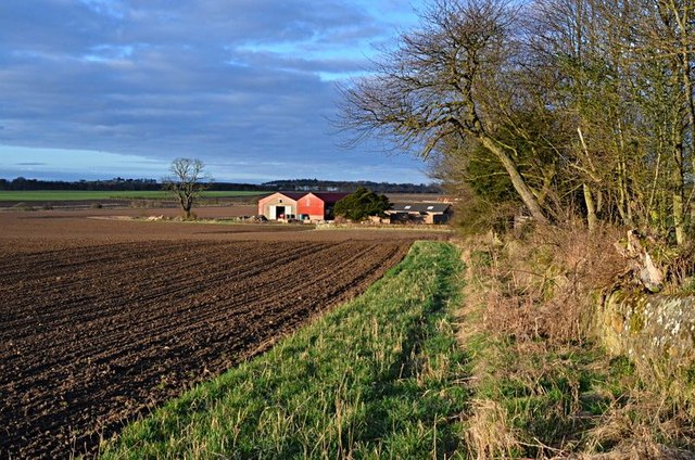
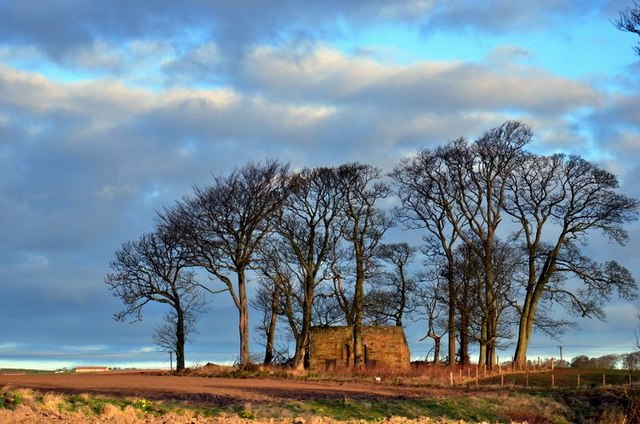
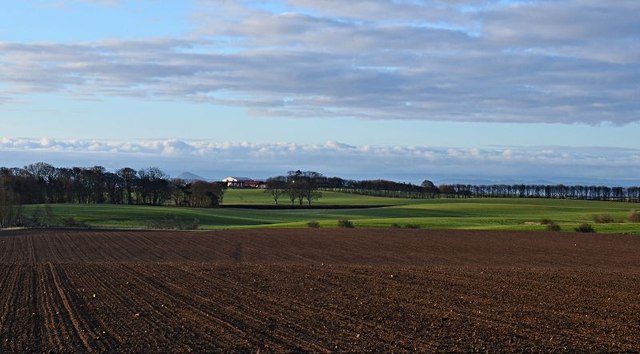
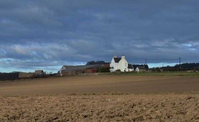
The village is known for its beautiful surroundings, with rolling hills, lush farmlands, and stunning coastal views. It is surrounded by several other villages, including Pittenweem, St Monans, and Kilrenny, which are all within a short distance.

Arncroach's history dates back centuries, and evidence of its past can be seen in the form of historical buildings and landmarks. The village church, St Mary's, is a notable feature, dating back to the 12th century, and serves as a reminder of Arncroach's long-standing presence in the area.

Although small in size, Arncroach offers a range of amenities for its residents. These include a local pub, The Inn at Lathones, which provides a friendly atmosphere and serves traditional Scottish cuisine. Outdoor enthusiasts can also take advantage of the village's proximity to nature, with numerous walking trails and opportunities for bird watching.

Overall, Arncroach provides a peaceful retreat away from the hustle and bustle of larger towns and cities. Its scenic surroundings, rich history, and sense of community make it an attractive place to live or visit for those seeking a slower pace of life in the beautiful Fife countryside.

If you have any feedback on the listing, please let us know in the comments section below.
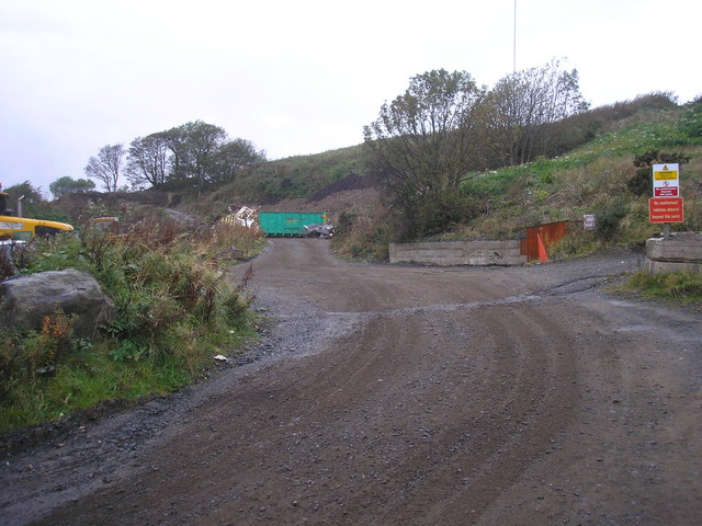
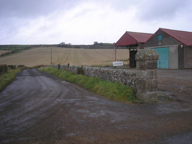
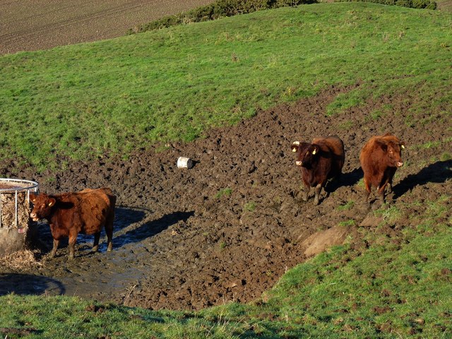
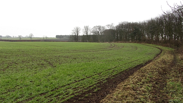
Arncroach Images

Images are sourced within 2km of 56.236107/-2.786276 or Grid Reference NO5105. Thanks to Geograph Open Source API. All images are credited.

Kellie Castle near Pittenweem Kellie castle dates from the 14th century and has a victorian garden.The castle is reputedly haunted.It was the home of Sir Robert Lorimer,the architect of the Scottish National War Memorial and Hew Lorimer,the sculptor.
 .
Kellie Castle near Pittenweem
Kellie castle dates from the 14th century and has a victorian garden.The castle is reputedly haunted.It was the home of Sir Robert Lorimer,the architect of the Scottish National War Memorial and Hew Lorimer,the sculptor. .
Temporary high-rise Straw bales in a stubble field near Kellie Castle.
Temporary high-rise
Straw bales in a stubble field near Kellie Castle.
Conical tower Detail of the roofwork at the south-western corner of Kellie Castle.
Conical tower
Detail of the roofwork at the south-western corner of Kellie Castle.
Farm track The view of the farm track with newly built kennels on the left.
Farm track
The view of the farm track with newly built kennels on the left.
Belliston quarry The view of the quarry and the mast on Baldutho Craig.
Belliston quarry
The view of the quarry and the mast on Baldutho Craig.
Entrance to Longside at Belliston The entrance to Longside <a href="https://www.geograph.org.uk/photo/201555">NO4905 : Longside, Bellistone</a>.  Interestingly the sign describes the farm as "Langside".
Entrance to Longside at Belliston
The entrance to Longside NO4905 : Longside, Bellistone. Interestingly the sign describes the farm as "Langside".
Keep your feet out the mud Cattle on the slopes of Kellie Law.
Keep your feet out the mud
Cattle on the slopes of Kellie Law.
Field, Balcaskie Arable field, like most in the area with the West Strip woodland on the right.
Field, Balcaskie
Arable field, like most in the area with the West Strip woodland on the right.
Fields by Stenton There has been a lot of tractor movement as land is prepared for ploughing or ploughed. There has been some amalgamation but the fields are still big on 19th century maps.
Fields by Stenton
There has been a lot of tractor movement as land is prepared for ploughing or ploughed. There has been some amalgamation but the fields are still big on 19th century maps.
Arable farmland, Comielaw View on a dismal day towards Anstruther.
Arable farmland, Comielaw
View on a dismal day towards Anstruther.
Arncroach arable Newly ploughed land on very damp day.
Arncroach arable
Newly ploughed land on very damp day.
A grass field Grass beside a small burn in a mainly arable landscape.
A grass field
Grass beside a small burn in a mainly arable landscape.
Balcormo farm Balcormo farm from the east
Balcormo farm
Balcormo farm from the east
Doocot, Kellie Farm
Doocot, Kellie Farm
Towards Abercrombie From Balcormo farm house towards Abercrombie.
Towards Abercrombie
From Balcormo farm house towards Abercrombie.
Blinkbonny Farm Blinkbonny farm, Arnchoach, from the east
Blinkbonny Farm
Blinkbonny farm, Arnchoach, from the east
Arncroach South east end of the village
Arncroach
South east end of the village
Arncroach North east edge of village.
Arncroach
North east edge of village.
Show me another place!

Arncroach is located at Grid Ref: NO5105 (Lat: 56.236107, Lng: -2.786276)

Unitary Authority: Fife

Police Authority: Fife

What 3 Words

///carpets.clapper.swinging. Near St Monans, Fife

Nearby Locations

Arncroach

Related Wikis

Nearby Amenities

Located within 500m of 56.236107,-2.786276
Arncroach
Place: village
Wikidata: Q3623558
Wikipedia: en:Arncroach
Lat/Long: 56.2367887/-2.7874577
Generator Method: wind_turbine
Generator Source: wind
Generator Type: horizontal_axis
Power: generator
Lat/Long: 56.2382411/-2.7892217
Post Box
Collection Times: Mo-Fr 09:00; Sa 07:00
Operator: Royal Mail
Post Box Mounting: pier
Post Box Type: lamp
Ref: KY10 250D
Royal Cypher: scottish_crown
Lat/Long: 56.2366537/-2.7869748
Telephone
Booth: K6
Covered: booth
Lat/Long: 56.2367901/-2.7869425
Defibrillator
Defibrillator Location: next to red phone box, Belliston Place in Arncroach
Emergency: defibrillator
Indoor: no
Lat/Long: 56.2367883/-2.7868944
Shelter
Shelter Type: public_transport
Lat/Long: 56.2366352/-2.7869563
Bench
Lat/Long: 56.2360173/-2.7863514
Power: pole
Lat/Long: 56.2331405/-2.781006
Power: pole
Lat/Long: 56.23394/-2.7815728
Power: pole
Lat/Long: 56.2347396/-2.7821509
Power: pole
Lat/Long: 56.2352943/-2.7825168
Power: pole
Lat/Long: 56.2358466/-2.7828555
Power: pole
Lat/Long: 56.2367452/-2.7834811
Power: pole
Lat/Long: 56.2376709/-2.7841563
Power: pole
Lat/Long: 56.2385343/-2.7847819
Power: pole
Lat/Long: 56.239315/-2.7853284
Power: pole
Lat/Long: 56.2400855/-2.785893
Power: pole
Lat/Long: 56.2360148/-2.7817422
Power: pole
Lat/Long: 56.236193/-2.7805204
Power: pole
Lat/Long: 56.2363725/-2.7793484
Power: pole
Lat/Long: 56.2365118/-2.7784744
Power: pole
Lat/Long: 56.2365708/-2.7787409
Power: pole
Lat/Long: 56.2368218/-2.7789441
Power: pole
Lat/Long: 56.2371293/-2.7791903
Power: pole
Lat/Long: 56.2373176/-2.7793168
Power: pole
Lat/Long: 56.2377004/-2.7788538
Power: pole
Lat/Long: 56.2385218/-2.7848474
Power: pole
Lat/Long: 56.2381415/-2.7862837
Power: pole
Lat/Long: 56.2377462/-2.7877426
Power: pole
Lat/Long: 56.2372328/-2.7890637
Power: pole
Lat/Long: 56.2367923/-2.7897547
Power: pole
Lat/Long: 56.2364886/-2.7901996
Power: pole
Lat/Long: 56.2358045/-2.7910036
Power: pole
Lat/Long: 56.2353226/-2.7915659
Power: pole
Lat/Long: 56.2363493/-2.7912204
Power: pole
Lat/Long: 56.2362137/-2.7922547
Power: pole
Lat/Long: 56.2404306/-2.7880203
Power: pole
Lat/Long: 56.2400855/-2.7896734
Power: pole
Lat/Long: 56.2399688/-2.7902177
The data included in this document is from www.openstreetmap.org. The data is made available under ODbL.

Have you been to Arncroach?

Leave your review of Arncroach below (or comments, questions and feedback).