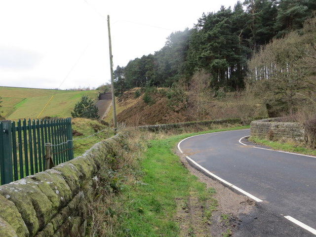
Doubting Plantation

Wood, Forest in Yorkshire

England

Doubting Plantation

Entrance to the churchyard of St. James', Midhopestones
Entrance to the churchyard of St. James', Midhopestones Credit: Dave Pickersgill

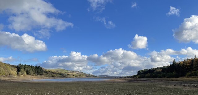
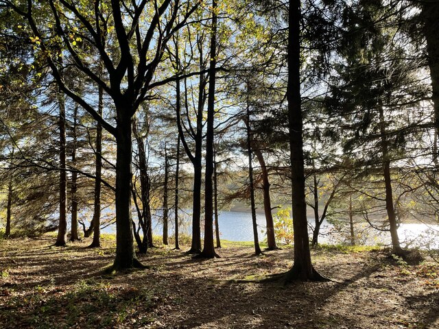
Doubting Plantation is a picturesque woodland located in the county of Yorkshire, England. Situated in the heart of the region, the plantation spans over a vast area of lush greenery and is known for its dense forest and tranquil atmosphere.

Covering an estimated area of approximately 500 acres, Doubting Plantation offers visitors a unique opportunity to immerse themselves in the natural beauty of the Yorkshire countryside. The woodland is predominantly characterized by a mix of deciduous and coniferous trees, including oak, beech, birch, and pine, providing a diverse and enchanting landscape for nature lovers to explore.

The plantation is home to a variety of wildlife, making it a popular spot for birdwatching and animal enthusiasts. Visitors can often spot species such as woodpeckers, robins, squirrels, and even the occasional deer roaming freely amidst the trees. The plantation also boasts a network of well-maintained trails and paths, allowing visitors to navigate through the woods while enjoying the serenity and charm of the surroundings.

Doubting Plantation offers a peaceful retreat for those seeking solace in nature. Its tranquil ambiance, coupled with the abundance of flora and fauna, provides an ideal setting for activities such as hiking, picnicking, photography, and simply unwinding amidst the beauty of the woodland.

Accessible throughout the year, Doubting Plantation is a hidden gem in Yorkshire, offering a tranquil escape from the hustle and bustle of daily life. Whether it's a leisurely stroll, a family outing, or a peaceful retreat, this woodland sanctuary promises a rejuvenating experience for all who venture into its captivating embrace.

If you have any feedback on the listing, please let us know in the comments section below.

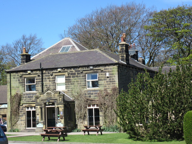
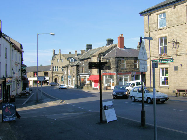
Doubting Plantation Images

Images are sourced within 2km of 53.504752/-1.6454599 or Grid Reference SE2300. Thanks to Geograph Open Source API. All images are credited.

Entrance to the churchyard of St. James', Midhopestones
St. James' Church, Midhopestones A collection of photographs taken around midday by Geographers from all over Britain and Ireland. 
See all the images on the map: <a title="https://www.geograph.org.uk/stuff/xmas.php?year=2021" href="https://www.geograph.org.uk/stuff/xmas.php?year=2021">Link</a>
St. James' Church, Midhopestones
A collection of photographs taken around midday by Geographers from all over Britain and Ireland. See all the images on the map: Link
A616 at Midhopestones
A616 lay-by near Sheephouse Wood
Underbank Reservoir The water level is lower than the usual for the time of year.
Underbank Reservoir
The water level is lower than the usual for the time of year.
North shore of Underbank Reservoir
Old milestone A view across to the south side of the very busy A616 at the Mortimer Road crossroads at Midhopestones showing the West Riding CC milestone next to the bus-stop.   One of 616 set up all over the newly formed, West Riding County Council in 1893/94.   Fixed to a 16cm deep backing stone the protruding metal attachment was cast at the Brayshaw & Booth foundry in Liversedge.   Their name is on the bevel.
Left face - HUDDERSFIELD/14½ MILES/HOLMFIRTH/9 MILES.   Right face - SHEFFIELD/12 MILES.   Top - WADSLEY LANGSETT/&/SHEFFIELD/ROAD/LANGSETT.   Grade II listed 1315059.
Old milestone
A view across to the south side of the very busy A616 at the Mortimer Road crossroads at Midhopestones showing the West Riding CC milestone next to the bus-stop. One of 616 set up all over the newly formed, West Riding County Council in 1893/94. Fixed to a 16cm deep backing stone the protruding metal attachment was cast at the Brayshaw & Booth foundry in Liversedge. Their name is on the bevel. Left face - HUDDERSFIELD/14½ MILES/HOLMFIRTH/9 MILES. Right face - SHEFFIELD/12 MILES. Top - WADSLEY LANGSETT/&/SHEFFIELD/ROAD/LANGSETT. Grade II listed 1315059.
Old tollhouse Looking across the A616 at Midhopestones crossroads.   The tollhouse, Toll Bar House, is sited at the southwest corner.  The crossroads are where the Mortimer Road toll-road crosses the Wadsley Langsett toll-road.  At the crossroads there were also stables where extra horses could be hired to help the carts and carriages up the very steep road to the north leading eventually to Penistone.
Old tollhouse
Looking across the A616 at Midhopestones crossroads. The tollhouse, Toll Bar House, is sited at the southwest corner. The crossroads are where the Mortimer Road toll-road crosses the Wadsley Langsett toll-road. At the crossroads there were also stables where extra horses could be hired to help the carts and carriages up the very steep road to the north leading eventually to Penistone.
Midhopestones: Tour de France 2014 Detail from the stone, at the Cote de Midhopestones, which marks the start of one of the final climbs on day two of the Tour de France cycle race on 6th July 2014.
Midhopestones: Tour de France 2014
Detail from the stone, at the Cote de Midhopestones, which marks the start of one of the final climbs on day two of the Tour de France cycle race on 6th July 2014.
Cut Mark Midhope Hall Lane Sheffield
Cut Mark Midhope Hall Farm Sheffield
Cut Mark Chapel Barn Midhopestones
Path and Stile in Woodland near Midhopestones Looking northward.
Path and Stile in Woodland near Midhopestones
Looking northward.
Former Railway Bridge over Mortimer Road Looking south-ward to A616 road.
Former Railway Bridge over Mortimer Road
Looking south-ward to A616 road.
The Church of St James at Midhopestones Viewed from the south-west.
The Church of St James at Midhopestones
Viewed from the south-west.
Ordnance Survey Cut Mark This can be found on the roadside wall of a private dwelling at Midhope Hal Farm.
For more detail see : <span class="nowrap"><a title="http://www.bench-marks.org.uk/bm70558" rel="nofollow ugc noopener" href="http://www.bench-marks.org.uk/bm70558">Link</a><img style="margin-left:2px;" alt="External link" title="External link - shift click to open in new window" src="https://s1.geograph.org.uk/img/external.png" width="10" height="10"/></span>
Ordnance Survey Cut Mark
This can be found on the roadside wall of a private dwelling at Midhope Hal Farm. For more detail see : LinkExternal link
Ordnance Survey Cut Mark This can be found on a roadside wall in Midhope Hall Lane.
For more detail see : <span class="nowrap"><a title="http://www.bench-marks.org.uk/bm70557" rel="nofollow ugc noopener" href="http://www.bench-marks.org.uk/bm70557">Link</a><img style="margin-left:2px;" alt="External link" title="External link - shift click to open in new window" src="https://s1.geograph.org.uk/img/external.png" width="10" height="10"/></span>
Ordnance Survey Cut Mark
This can be found on a roadside wall in Midhope Hall Lane. For more detail see : LinkExternal link
Hagg Bridge and Water Run-off from Midhope Reservoir Looking westward.
Hagg Bridge and Water Run-off from Midhope Reservoir
Looking westward.
Show me another place!

Doubting Plantation is located at Grid Ref: SE2300 (Lat: 53.504752, Lng: -1.6454599)

Division: West Riding

Unitary Authority: Barnsley

Police Authority: South Yorkshire

What 3 Words

///suiting.trapdoor.quilting. Near Penistone, South Yorkshire

Related Wikis

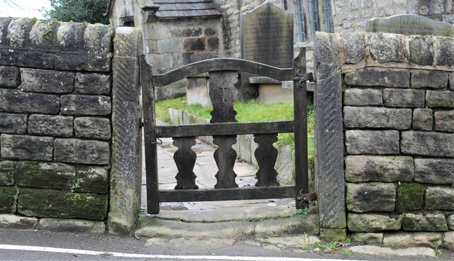
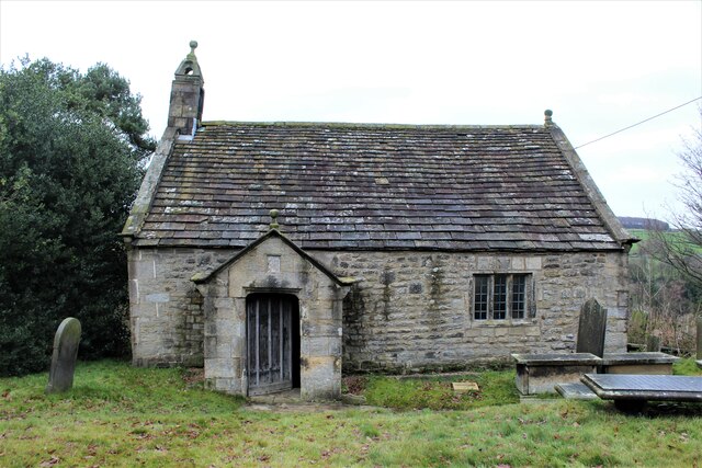
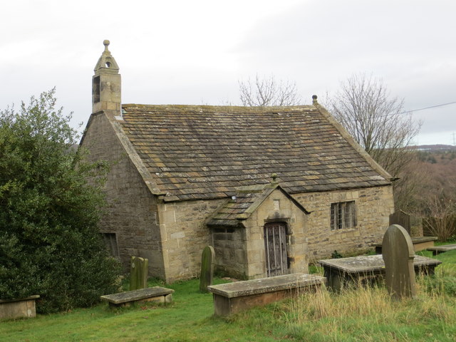
St James' Church, Midhopestones

St James’ Church, Midhopestones is situated in the small rural hamlet of Midhopestones, just within the northern boundary of the City of Sheffield in South...

Cubley, South Yorkshire

Cubley is a village in the metropolitan borough of Barnsley in South Yorkshire, England. It is about a mile to the south of Penistone town centre and essentially...

Hartcliff Folly

The Hartcliff Folly (or Tower) is a stone structure 1.2 miles (2 km) south-west of Penistone in South Yorkshire, England. The folly was built in 1856 by...

Midhopestones

Midhopestones (archaic Nether Midhope, also Middup, or Middop) is a village in the civil parish of Bradfield within the Stocksbridge and Upper Don electoral...

Upper Midhope

Upper Midhope (archaic Over Midhope) is a village in the civil parish of Bradfield within the Stocksbridge and Upper Don electoral ward in the borough...

Langsett

Langsett is a village and civil parish near Penistone in South Yorkshire. It lies near the southern edge of the Metropolitan Borough of Barnsley and on...

Penistone

Penistone ( PEN-iss-tən) is a market town and civil parish in the Metropolitan Borough of Barnsley, South Yorkshire, England, which had a population of...

Thurlstone

Thurlstone is a village and former civil parish, now in the parish of Penistone, in the metropolitan borough of Barnsley, in South Yorkshire, England....

Nearby Amenities

Located within 500m of 53.504752,-1.6454599
Barrier: stile
Lat/Long: 53.5010417/-1.6420633
Barrier: stile
Lat/Long: 53.5022199/-1.6416996
Power: pole
Lat/Long: 53.5090871/-1.6440238
Power: pole
Lat/Long: 53.5087779/-1.6426595
Power: pole
Lat/Long: 53.5085583/-1.6416072
The data included in this document is from www.openstreetmap.org. The data is made available under ODbL.

Have you been to Doubting Plantation?

Leave your review of Doubting Plantation below (or comments, questions and feedback).