Hand Bank Plantation
Wood, Forest in Yorkshire
England
Hand Bank Plantation
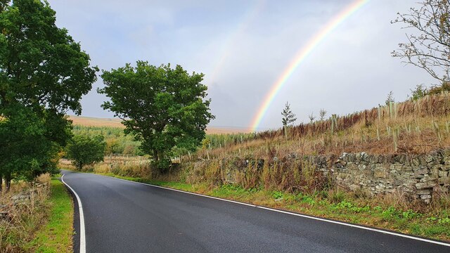
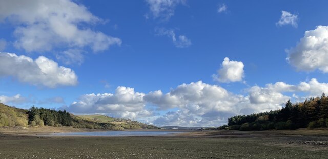
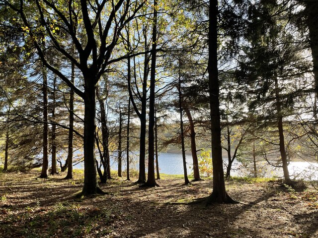
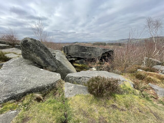
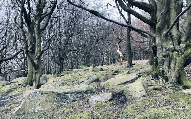
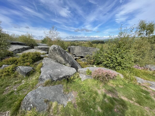
Hand Bank Plantation is a picturesque woodland area located in Yorkshire, England. Covering an extensive area, this plantation is a popular destination for nature enthusiasts and outdoor lovers alike. The plantation is situated in a secluded spot, surrounded by rolling hills and stunning countryside scenery.
As one explores Hand Bank Plantation, they are greeted by a diverse range of tree species, including oak, beech, and birch trees. The woodland is known for its dense canopy, which provides a cool and shaded atmosphere, even on hot summer days. The forest floor is covered with a rich carpet of moss and ferns, adding to the enchanting atmosphere of the plantation.
The plantation is intersected by a meandering river, which adds to the charm of the area. This river is home to various aquatic species, including trout and salmon, making it a popular spot for fishing enthusiasts. The sounds of the flowing water and the rustling leaves create a serene ambiance, making Hand Bank Plantation a peaceful retreat from the hustle and bustle of everyday life.
The woodland is also home to a wide range of wildlife, including deer, rabbits, and numerous bird species. Birdwatchers flock to Hand Bank Plantation to catch a glimpse of the elusive woodpeckers and owls that call this place home.
Visitors to Hand Bank Plantation can enjoy a variety of activities, including hiking, picnicking, and photography. There are well-maintained walking trails that wind through the woodland, allowing visitors to explore the plantation at their own pace.
Overall, Hand Bank Plantation is a hidden gem in the heart of Yorkshire, offering a peaceful and idyllic setting for nature lovers to immerse themselves in the beauty of the natural world.
If you have any feedback on the listing, please let us know in the comments section below.
Hand Bank Plantation Images
Images are sourced within 2km of 53.496812/-1.6535003 or Grid Reference SE2300. Thanks to Geograph Open Source API. All images are credited.

Hand Bank Plantation is located at Grid Ref: SE2300 (Lat: 53.496812, Lng: -1.6535003)
Division: West Riding
Unitary Authority: Barnsley
Police Authority: South Yorkshire
What 3 Words
///creatures.trucks.order. Near Penistone, South Yorkshire
Nearby Locations
Related Wikis

St James' Church, Midhopestones
St James’ Church, Midhopestones is situated in the small rural hamlet of Midhopestones, just within the northern boundary of the City of Sheffield in South...

Midhopestones
Midhopestones (archaic Nether Midhope, also Middup, or Middop) is a village in the civil parish of Bradfield within the Stocksbridge and Upper Don electoral...

Upper Midhope
Upper Midhope (archaic Over Midhope) is a village in the civil parish of Bradfield within the Stocksbridge and Upper Don electoral ward in the borough...

Langsett
Langsett is a village and civil parish near Penistone in South Yorkshire. It lies near the southern edge of the Metropolitan Borough of Barnsley and on...

Hartcliff Folly
The Hartcliff Folly (or Tower) is a stone structure 1.2 miles (2 km) south-west of Penistone in South Yorkshire, England. The folly was built in 1856 by...

Langsett Reservoir
Langsett Reservoir is in Yorkshire, England, near the villages of Langsett and Upper Midhope, on the edge of the Peak District National Park. The reservoir...
Cubley, South Yorkshire
Cubley is a village in the metropolitan borough of Barnsley in South Yorkshire, England. It is about a mile to the south of Penistone town centre and essentially...

Millhouse Green
Millhouse Green is a village on the north banks of the River Don on the A628 road west of Penistone in the English county of South Yorkshire. Administratively...
Nearby Amenities
Located within 500m of 53.496812,-1.6535003Have you been to Hand Bank Plantation?
Leave your review of Hand Bank Plantation below (or comments, questions and feedback).