Brickyard Spinney
Wood, Forest in Warwickshire Warwick
England
Brickyard Spinney
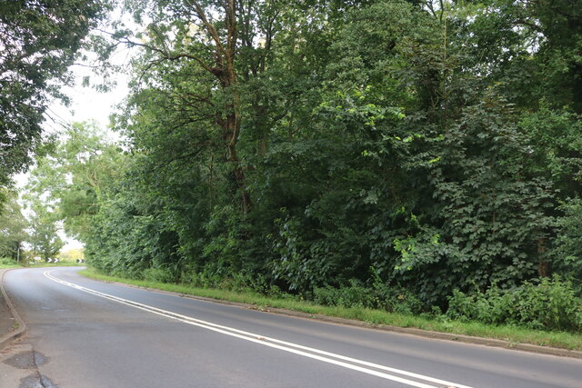
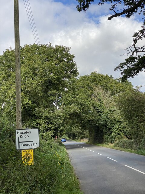
Brickyard Spinney is a charming woodland located in Warwickshire, England. Situated on the outskirts of the historic town of Warwick, this forested area covers approximately 5 hectares of land. The spinney is named after the former brickworks that used to operate in the area during the 19th century.
The woodland is home to a diverse range of tree species, including oak, beech, birch, and hazel. The dense canopy created by these trees provides a cool and shaded environment, making it a perfect spot for a leisurely walk or a picnic on a warm summer's day. The forest floor is covered in a lush carpet of ferns, bluebells, and other wildflowers, adding to the natural beauty of the area.
Brickyard Spinney offers a tranquil escape from the hustle and bustle of everyday life. The peaceful atmosphere is enhanced by the melodic songs of various bird species that inhabit the woods, including thrushes, blackbirds, and woodpeckers. Visitors may also catch a glimpse of small mammals such as squirrels and rabbits darting amongst the undergrowth.
The spinney is accessible via a network of well-maintained footpaths, allowing visitors to explore its winding trails and discover hidden corners. Along the paths, informative signs provide details about the flora and fauna, enriching the visitor's experience.
Overall, Brickyard Spinney is a delightful woodland retreat, offering a peaceful and natural haven for those seeking a break from the urban environment.
If you have any feedback on the listing, please let us know in the comments section below.
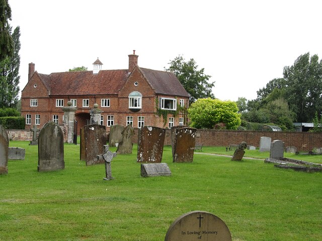
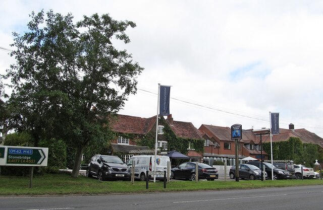
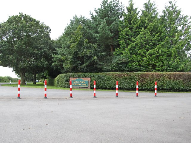
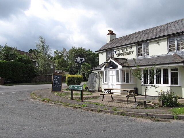
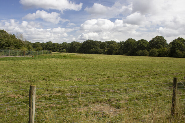
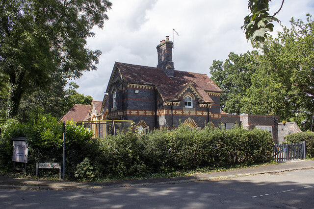
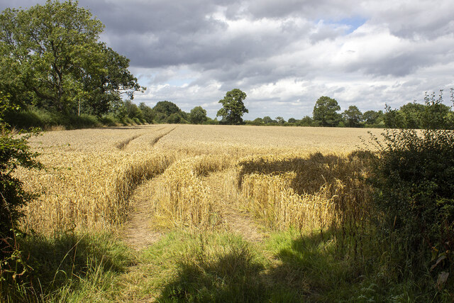
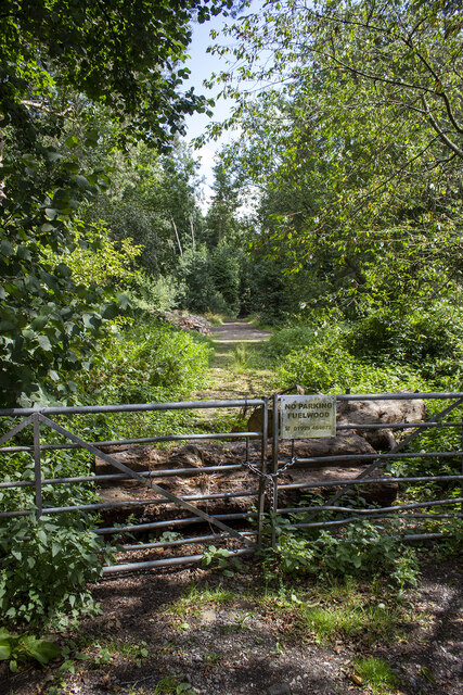
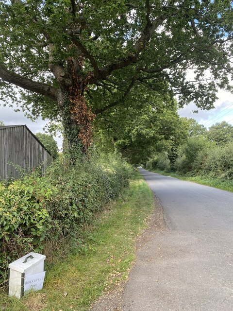
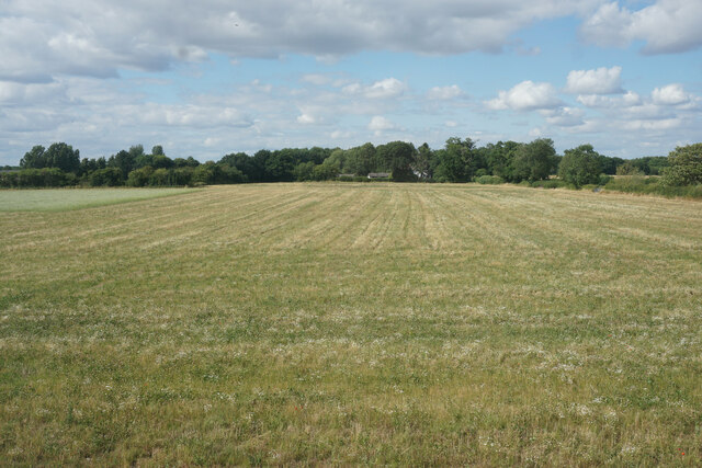
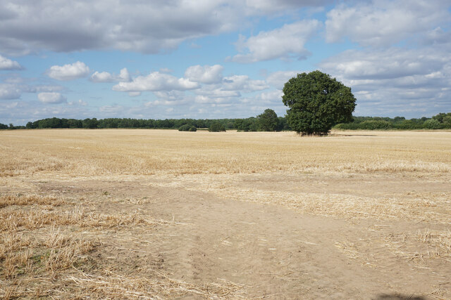
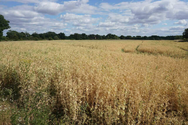
Brickyard Spinney Images
Images are sourced within 2km of 52.352906/-1.6547852 or Grid Reference SP2372. Thanks to Geograph Open Source API. All images are credited.
Brickyard Spinney is located at Grid Ref: SP2372 (Lat: 52.352906, Lng: -1.6547852)
Administrative County: Warwickshire
District: Warwick
Police Authority: Warwickshire
What 3 Words
///unafraid.flopping.speaks. Near Wroxall, Warwickshire
Nearby Locations
Related Wikis

Banbury Music Radio
Banbury Music Radio was a local Internet radio station in Banbury, Oxfordshire, England that showcased bands from all around Oxfordshire, Berkshire, and...

Honiley
Honiley is a small village and former civil parish, now in the parish of Beausale, Haseley, Honiley and Wroxall, in the Warwick district, in the county...
RAF Honiley
Royal Air Force Honiley or RAF Honiley is a former Royal Air Force station located in Wroxall, Warwickshire, 7 miles (11 km) southwest of Coventry, England...

Wroxall, Warwickshire
Wroxall is a small village and former civil parish, now in the parish of Beausale, Haseley, Honiley and Wroxall, in the Warwick district, in the county...
Beausale
Beausale is a hamlet and former civil parish, now in the parish of Beausale, Haseley, Honiley and Wroxall, in the Warwick district of Warwickshire, England...

Wren's Cathedral
Wren's Cathedral, properly the Church of St Leonard and now a cathedral of the Communion of Evangelical Episcopal Churches, was originally the Lady Chapel...
Wroxall Priory
Wroxall Priory was a medieval monastic house in Wroxall, Warwickshire, England. It was founded c.1135 by Hugh, Lord of Hatton and Wroxall in thanks for...

Wroxall Abbey
Wroxall Abbey is a substantial Victorian mansion house situated at Wroxall, Warwickshire which was converted for use as a hotel, spa, wedding venue and...
Nearby Amenities
Located within 500m of 52.352906,-1.6547852Have you been to Brickyard Spinney?
Leave your review of Brickyard Spinney below (or comments, questions and feedback).