Beanhill Coppice

Wood, Forest in Warwickshire Warwick

England

Beanhill Coppice

Pinley Hill Farm Converted vernacular farm building at Pinley Hill Farm
Pinley Hill Farm Credit: P Gaskell

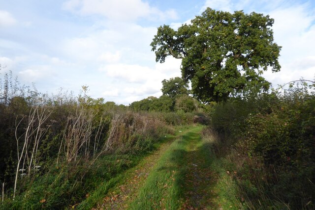
Beanhill Coppice is a scenic woodland located in Warwickshire, England. Spanning over an area of approximately 50 acres, this ancient woodland is a notable natural feature of the region. The coppice is characterized by a dense collection of trees, predominantly consisting of oak and ash species, which contribute to its lush and verdant appearance.

The woodland offers a haven for a diverse range of wildlife, making it an attractive destination for nature enthusiasts. Visitors can spot various bird species, including woodpeckers, owls, and songbirds, while small mammals like foxes, badgers, and rabbits also inhabit the area. Additionally, the coppice is home to an array of flora, with bluebells, primroses, and wild garlic adding vibrant splashes of color throughout the seasons.

Walking paths meander through the woodland, allowing visitors to explore the area at their own pace. The tranquil atmosphere and the sound of rustling leaves create a serene environment, ideal for relaxation and contemplation. Picnic spots are scattered throughout the coppice, providing the perfect setting for a leisurely outdoor meal.

Beanhill Coppice is a cherished natural asset for the local community. Efforts have been made to preserve the woodland and its biodiversity, with conservation projects and tree planting initiatives taking place regularly. The coppice is accessible to visitors year-round, and its enchanting beauty captivates visitors, making it a must-visit destination for those seeking a peaceful retreat in the heart of Warwickshire.

If you have any feedback on the listing, please let us know in the comments section below.

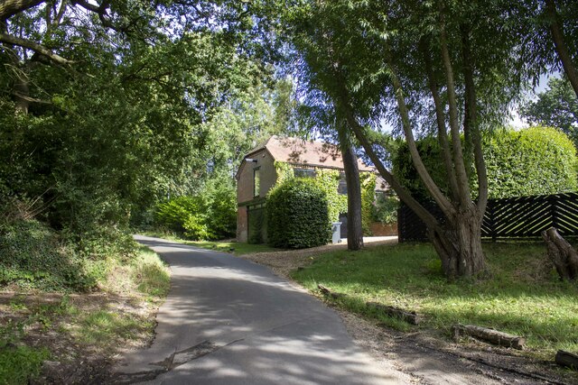
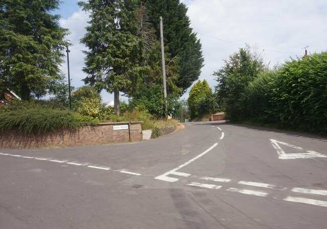
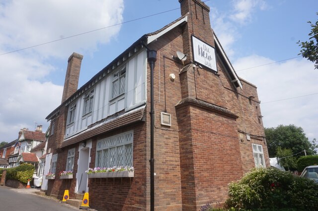
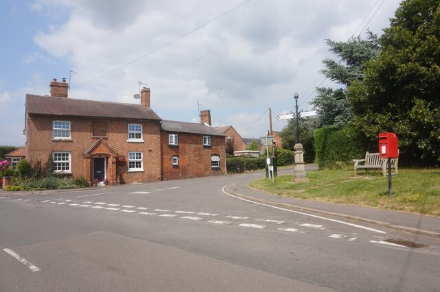
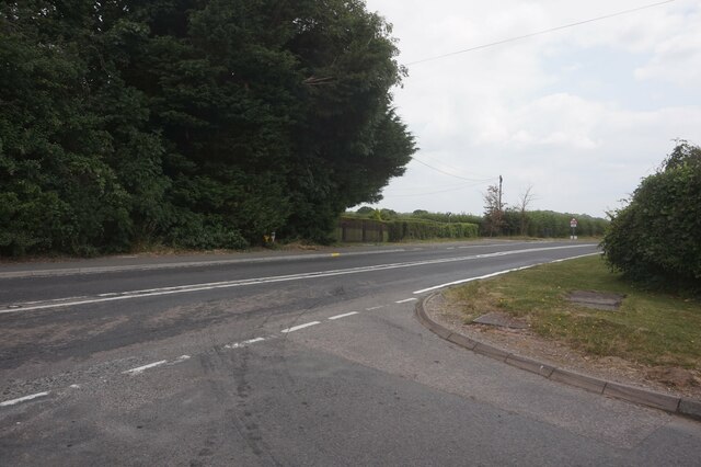
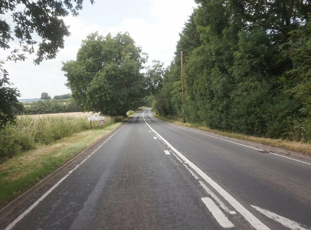
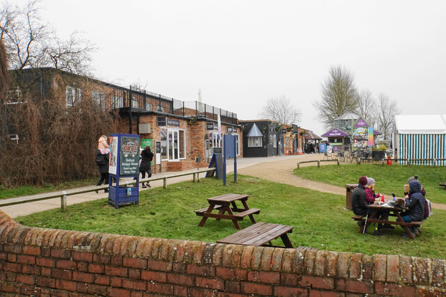
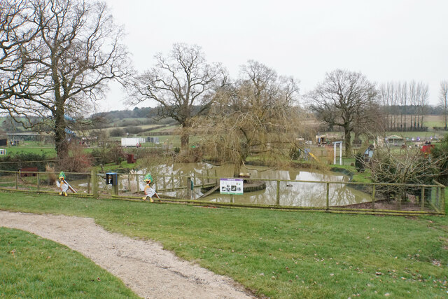
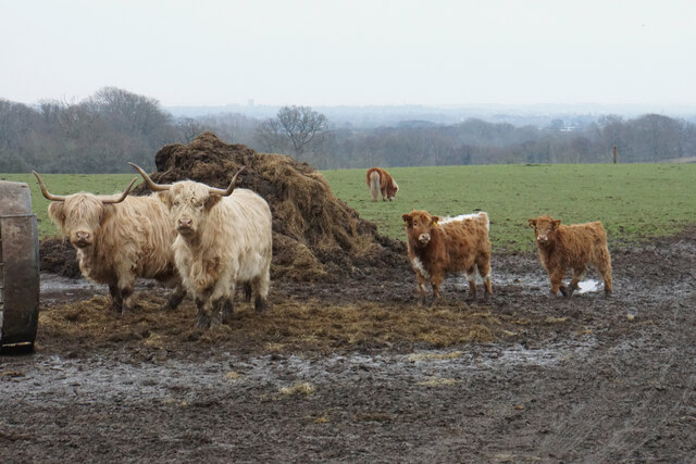
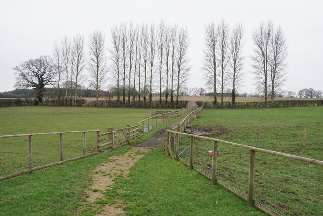
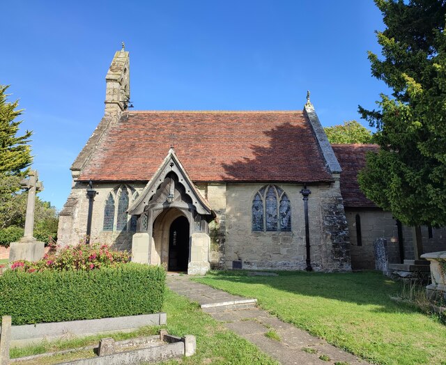
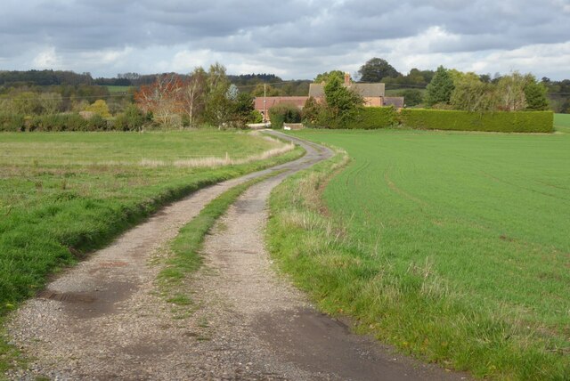
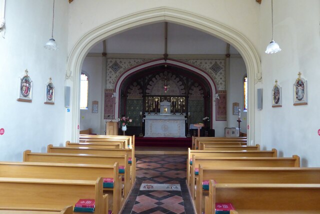
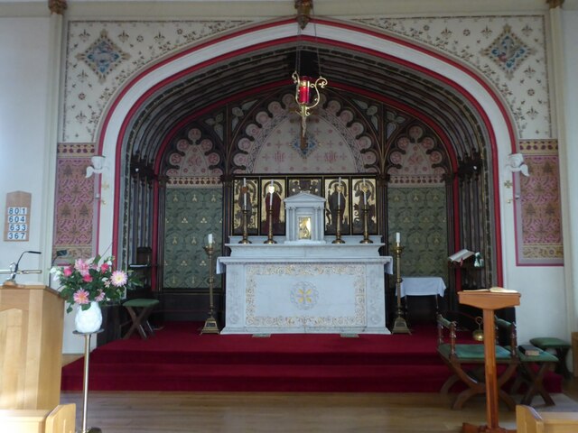
Beanhill Coppice Images

Images are sourced within 2km of 52.27892/-1.6560489 or Grid Reference SP2364. Thanks to Geograph Open Source API. All images are credited.

Pinley Hill Farm Converted vernacular farm building at Pinley Hill Farm
Pinley Hill Farm
Converted vernacular farm building at Pinley Hill Farm
New Road, Norton Lindsey
The New Inn, Norton Lindsey
Wolverton Road at Curlieu Lane, Norton Lindsey
A4184 Gannaway Road from Curlieu Lane
Gannaway Road towards Stratford on Avon
Hatton Country World Primarily an open farm with other family activities, including a shopping village at the entrance.
Hatton Country World
Primarily an open farm with other family activities, including a shopping village at the entrance.
Duck pond in Hatton Country World Part of the open farm. The ducks are all absent on this winter day.
Duck pond in Hatton Country World
Part of the open farm. The ducks are all absent on this winter day.
Longhorn cattle at Hatton Country World Peacefully sharing their field with donkeys and horses on a dank winter day.
Longhorn cattle at Hatton Country World
Peacefully sharing their field with donkeys and horses on a dank winter day.
Track in Hatton Country World The fields are in winter dormancy.
Track in Hatton Country World
The fields are in winter dormancy.
Holy Trinity Church, Norton Lindsey
Track to Hooknell This appears very rural however just beyond this house is the M40 motorway.
Track to Hooknell
This appears very rural however just beyond this house is the M40 motorway.
Route with Public Access A Route with Public Access follows this track near Hampton Lodge, south of Hampton on the Hill.
Route with Public Access
A Route with Public Access follows this track near Hampton Lodge, south of Hampton on the Hill.
Old School Lane Bungalows and houses off Old School Lane in Hampton on the Hill.
Old School Lane
Bungalows and houses off Old School Lane in Hampton on the Hill.
Roman Catholic Church of St Charles Borromeo Roman Catholic Church of St Charles Borromeo in the village of Hampton on the Hill.
Roman Catholic Church of St Charles Borromeo
Roman Catholic Church of St Charles Borromeo in the village of Hampton on the Hill.
View to the town of Warwick View to the town of Warwick from the churchyard of the Roman Catholic church of St Charles Borromeo.
View to the town of Warwick
View to the town of Warwick from the churchyard of the Roman Catholic church of St Charles Borromeo.
Interior of St Charles Borromeo RC Church Interior of St Charles Borromeo RC Church, Hampton on the Hill.
Interior of St Charles Borromeo RC Church
Interior of St Charles Borromeo RC Church, Hampton on the Hill.
Altar in St Charles Borromeo RC Church Altar in St Charles Borromeo RC Church, Hampton on the Hill.
Altar in St Charles Borromeo RC Church
Altar in St Charles Borromeo RC Church, Hampton on the Hill.
Show me another place!

Beanhill Coppice is located at Grid Ref: SP2364 (Lat: 52.27892, Lng: -1.6560489)

Administrative County: Warwickshire

District: Warwick

Police Authority: Warwickshire

What 3 Words

///ranch.globe.according. Near Hatton, Warwickshire

Related Wikis

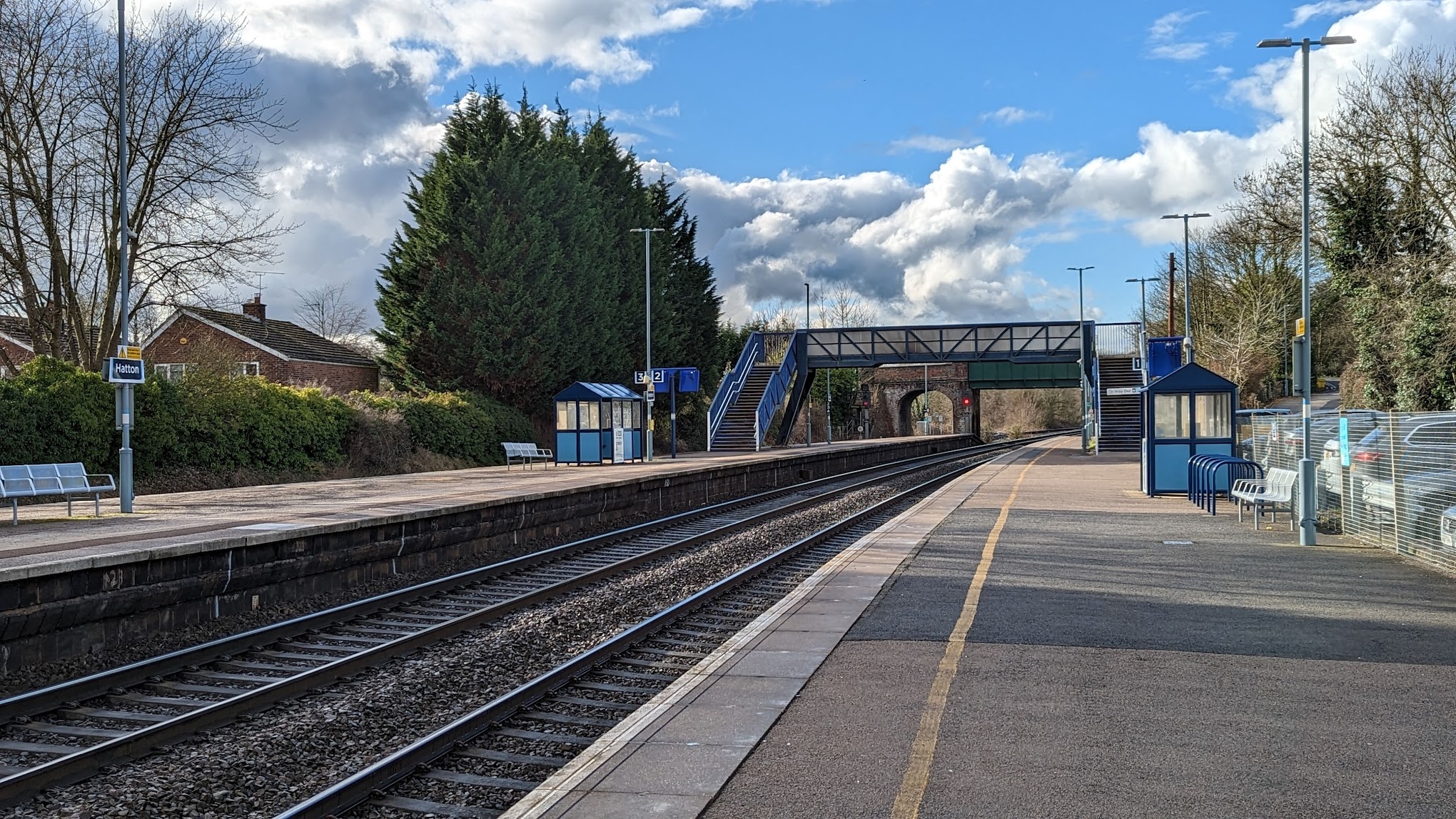
Hatton railway station (England)

Hatton railway station takes the name of the village of Hatton in Warwickshire, England, although it is about 1 mile (1.6 km) from the village. It is situated...

Hatton Locks

The Hatton Locks or Hatton Flight are a flight of 21 locks on the Grand Union Canal in Hatton, Warwickshire, England. The flight spans less than 2 miles...

Budbrooke

Budbrooke is a village and civil parish in the Warwick district of Warwickshire, England. It is 3 miles west of Warwick and according to the 2001 census...

Hatton, Warwickshire

Hatton is a village and civil parish about 4 miles (6 km) west-northwest of Warwick, in the Warwick District of Warwickshire in England. The parish had...

Pinley Priory

Pinley Priory, also called Pinley Abbey, was a Cistercian nunnery in the parish of Rowington in Warwickshire, England. It was founded in the early 12th...

M40 minibus crash

On 18 November 1993, just after midnight, a minibus was involved in a fatal collision with a maintenance vehicle on the M40 motorway near Warwick, England...

Budbrooke Barracks

Budbrooke Barracks was a military installation near Budbrooke in Warwickshire, England. == History == The barracks were built on agricultural land in 1877...

Claverdon railway station

Claverdon railway station serves the village of Claverdon in Warwickshire, England. It is managed by West Midlands Railway, although most of the services...

Nearby Amenities

Located within 500m of 52.27892,-1.6560489
Barrier: cattle_grid
Lat/Long: 52.2821084/-1.654966
Material: wood
Operator: National Grid Electricity Distribution
Operator Wikidata: Q7988183
Power: pole
Source: bing
Lat/Long: 52.2763883/-1.6601425
Material: wood
Operator: National Grid Electricity Distribution
Operator Wikidata: Q7988183
Power: pole
Source: bing
Lat/Long: 52.2760355/-1.6613764
Material: wood
Operator: National Grid Electricity Distribution
Operator Wikidata: Q7988183
Power: pole
Source: bing
Lat/Long: 52.2770333/-1.6578573
Material: wood
Operator: National Grid Electricity Distribution
Operator Wikidata: Q7988183
Power: pole
Source: bing
Lat/Long: 52.2771682/-1.6565055
Material: wood
Operator: National Grid Electricity Distribution
Operator Wikidata: Q7988183
Power: pole
Source: bing
Lat/Long: 52.2771055/-1.6554326
Material: wood
Operator: National Grid Electricity Distribution
Operator Wikidata: Q7988183
Power: pole
Source: bing
Lat/Long: 52.277007/-1.6535336
Material: wood
Operator: National Grid Electricity Distribution
Operator Wikidata: Q7988183
Power: pole
Source: bing
Lat/Long: 52.2769151/-1.6515917
Material: wood
Operator: National Grid Electricity Distribution
Operator Wikidata: Q7988183
Power: pole
Source: bing
Lat/Long: 52.2768298/-1.6496658
The data included in this document is from www.openstreetmap.org. The data is made available under ODbL.

Have you been to Beanhill Coppice?

Leave your review of Beanhill Coppice below (or comments, questions and feedback).