Springy Beeches
Wood, Forest in Hampshire New Forest
England
Springy Beeches
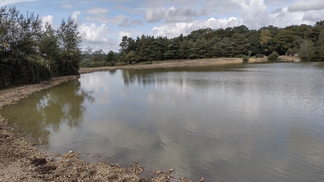
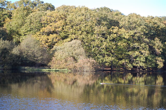
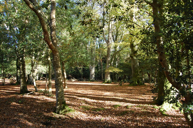
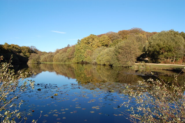
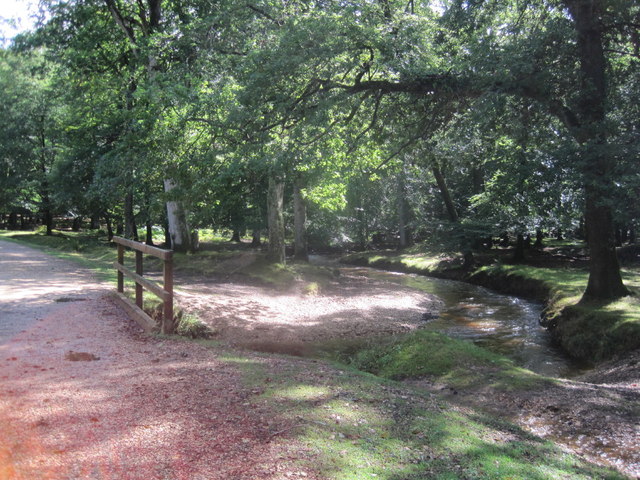
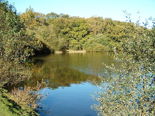
Springy Beeches is a picturesque woodland located in Hampshire, England. It is a part of the larger New Forest, which covers an area of approximately 566 square kilometers. The woodland is characterized by its abundance of beech trees, which give it its name.
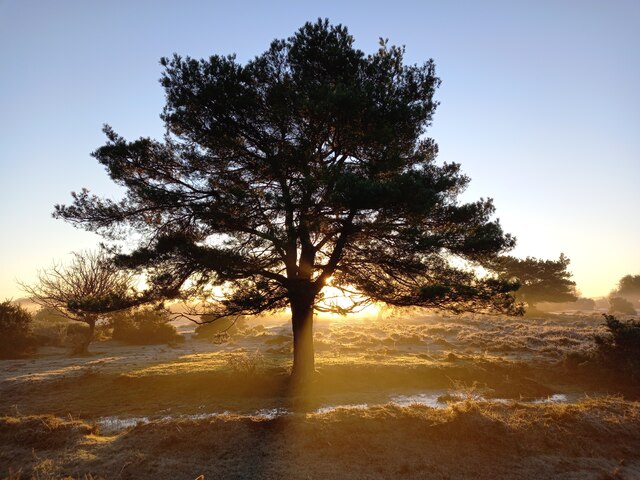
The beech trees in Springy Beeches are known for their unique springiness, which is due to the sandy soil in the area. This soil type allows the roots of the trees to spread out and anchor themselves firmly, resulting in a bouncy feel when walking on the forest floor. This natural feature makes Springy Beeches a popular destination for hikers and nature enthusiasts alike.
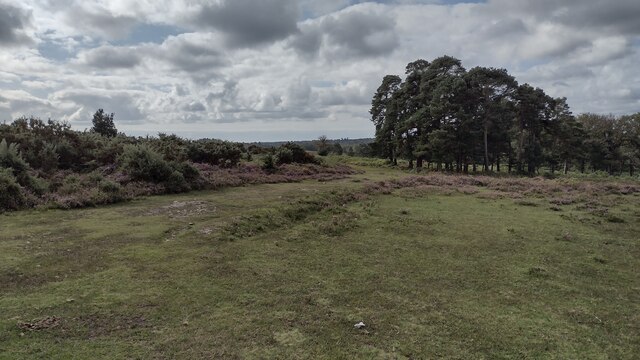
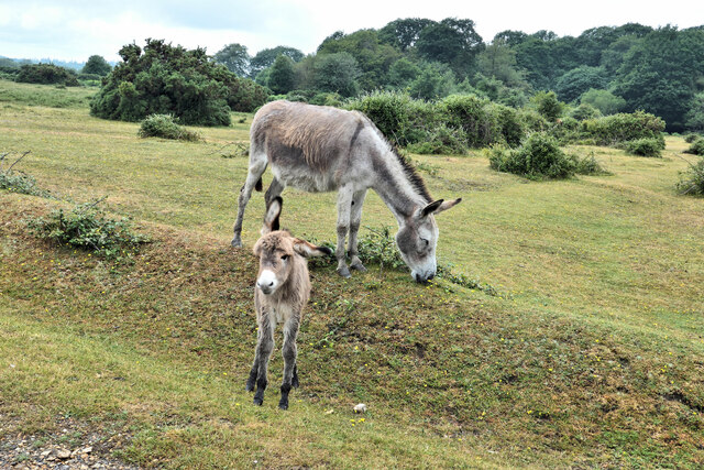
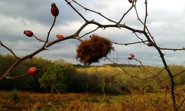
Aside from the beech trees, the woodland is home to a diverse range of flora and fauna. Visitors can expect to see a variety of wildflowers, including bluebells and primroses, especially during the spring months when the forest comes alive with vibrant colors. The forest also provides habitat for a number of bird species, such as woodpeckers and tawny owls, as well as mammals like deer and foxes.
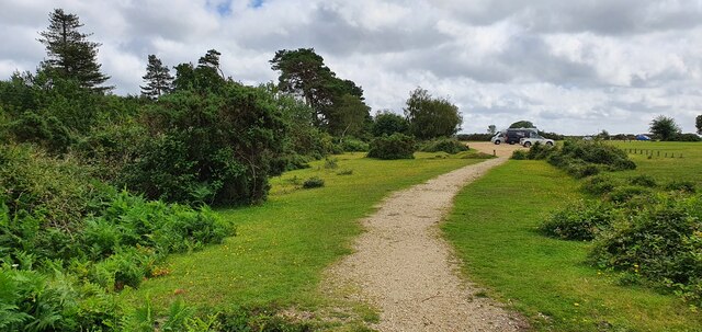
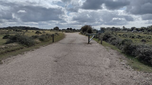
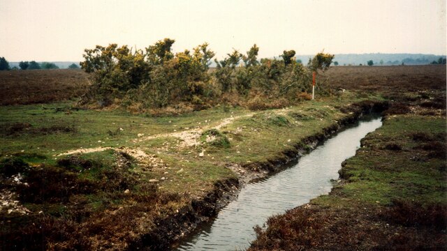
Springy Beeches offers several walking trails, allowing visitors to explore the woodland at their own pace. These trails meander through the forest, taking hikers past towering beech trees, tranquil streams, and peaceful glades. There are also picnic areas scattered throughout the woodland, providing a perfect spot to rest and enjoy the natural surroundings.
Overall, Springy Beeches in Hampshire is a delightful woodland that offers a unique and enchanting experience for nature lovers. Its springy forest floor, diverse wildlife, and scenic beauty make it a must-visit destination for those seeking tranquility and natural beauty.
If you have any feedback on the listing, please let us know in the comments section below.
Springy Beeches Images
Images are sourced within 2km of 50.917965/-1.666185 or Grid Reference SU2313. Thanks to Geograph Open Source API. All images are credited.


Springy Beeches is located at Grid Ref: SU2313 (Lat: 50.917965, Lng: -1.666185)
Administrative County: Hampshire
District: New Forest
Police Authority: Hampshire
What 3 Words
///albatross.slider.watches. Near Cadnam, Hampshire
Nearby Locations
Related Wikis

RAF Stoney Cross
Royal Air Force Stoney Cross or more simply RAF Stoney Cross is a former Royal Air Force station in the New Forest, Hampshire, England. The airfield is...

Fritham
Fritham is a small village in Hampshire, England. It lies in the north of the New Forest, near the Wiltshire border. It is in the civil parish of Bramshaw...

Ocknell Plain
Ocknell Plain can be found in the New Forest near Southampton, England. The area was used in World War II for the Stoney Cross airfield and it is now very...
Eyeworth Pond
Eyeworth Pond is a pond located near Fritham in the New Forest, in Hampshire, England. The pond was created in 1871 by damming Latchmore Brook, with the...

Upper Canterton
Upper Canterton is a village in Hampshire, England, located at 50°54′36″N 1°37′24″W. It is near Minstead. == References == The geographic coordinates are...
Ashley Range
Ashley Range is a former World War II bombing range in the New Forest, Hampshire, England. The range is approximately 5 mi (8.0 km) north-west of Lyndhurst...

Brook, New Forest
Brook is a hamlet in the civil parish of Bramshaw, in Hampshire, England. It lies just inside the New Forest. The hamlet contains a mix of 18th and 19th...

Minstead
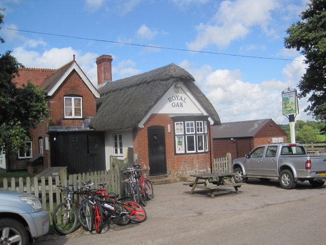
Minstead is a small village and civil parish in the New Forest, Hampshire, about 2 miles (3.2 km) north of Lyndhurst. There is a shop and a pub, the Trusty...
Nearby Amenities
Located within 500m of 50.917965,-1.666185Have you been to Springy Beeches?
Leave your review of Springy Beeches below (or comments, questions and feedback).